
FR
Lynncroft, NG16
By Freedom Homes
£ 160
Freedom Homes says ..
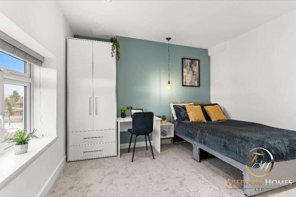
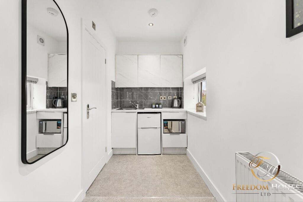
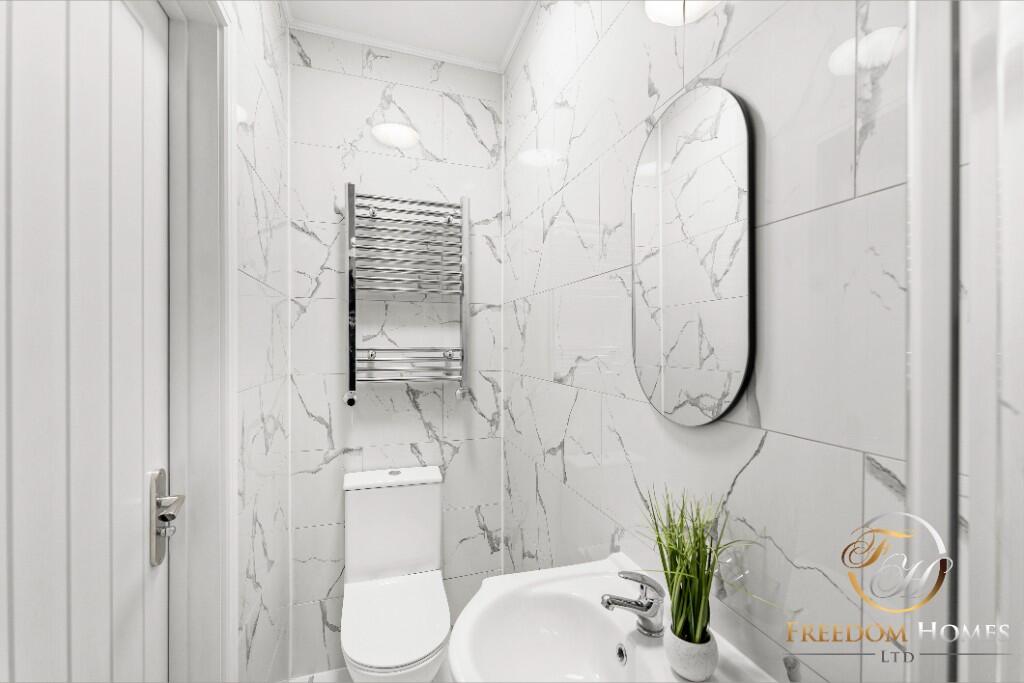
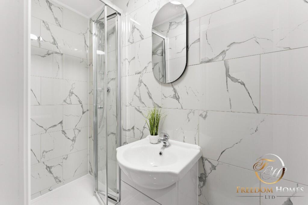
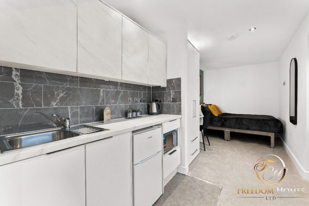
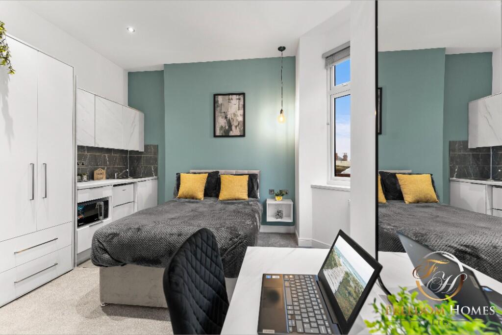
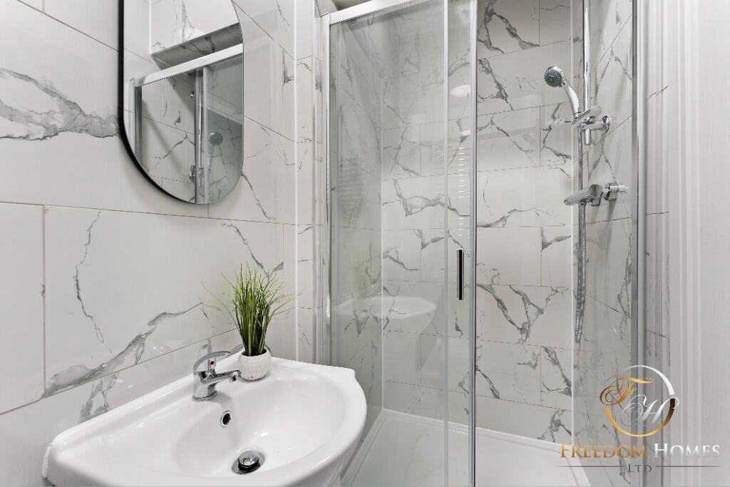
STUNNING BRAND NEW PROPERTY IN NG16 - LYNNCROFT
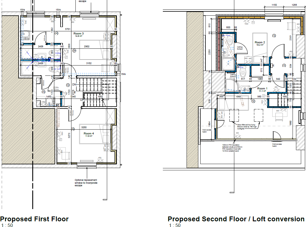
- Bedrooms
- 6
- Bathrooms
- 0
The heatmap indicates the level of crime in the area. The color of the heatmap indicates the crime severity and recency.
Metrics Year-on-Year
- Average area value
- 220,141.00 £Decreased by 1.17 %
- Average area rental value
- 988.00 £/moIncreased by 16.24 %
- Est rental Yield
- 5.39 %Increased by 17.69 %
- Crime Rate
- 8.00 %Unchanged by 0.00 %
from 222,757.00 £
from 850.00 £/mo
from 4.58 %
from 8.00 %
Agent Activity
Freedom Homes created the listing.
Nearby Schools
| Name | Type | Ofsted | Distance |
|---|---|---|---|
| Awsworth Children'S Centre | Children's Centre | 0.44 KM | |
| Brinsley Children'S Centre | Children's Centre | 0.46 KM | |
| Eastwood Children'S Centre | Children's Centre | 0.46 KM | |
| The Priory Catholic Voluntary Academy | Academy Converter | Good | 0.50 KM |
| The Florence Nightingale Academy | Academy Converter | 0.58 KM |
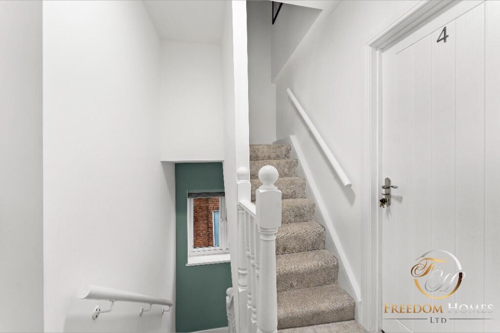
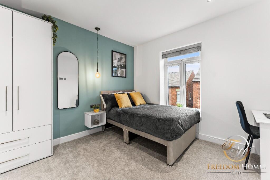
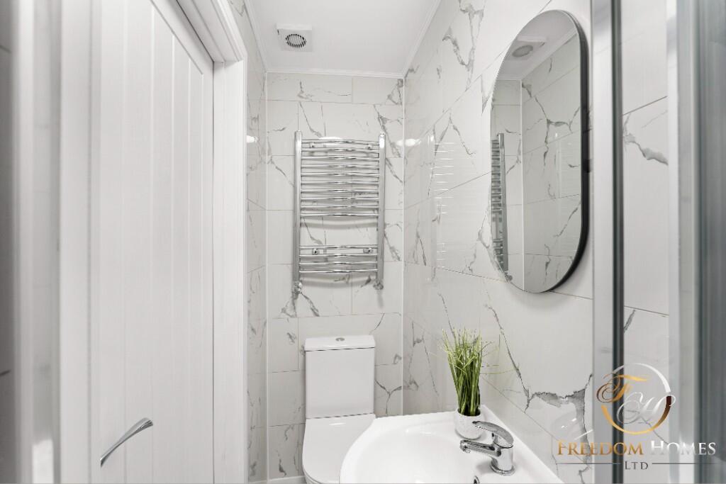
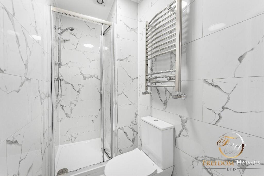
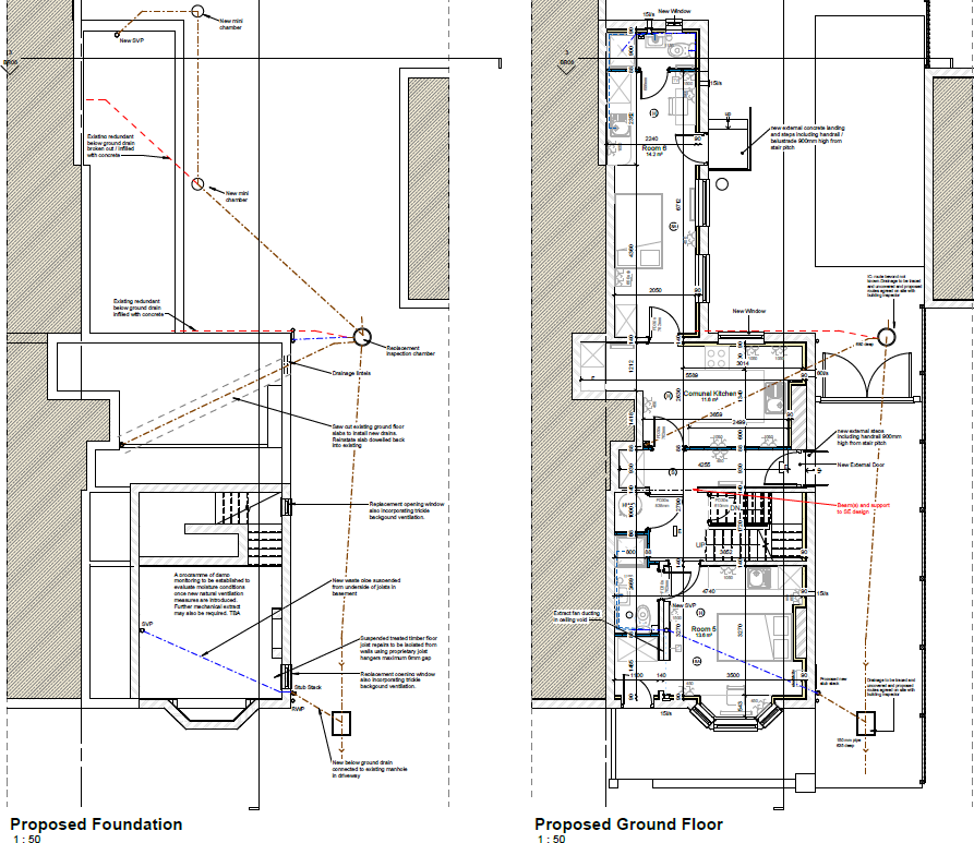
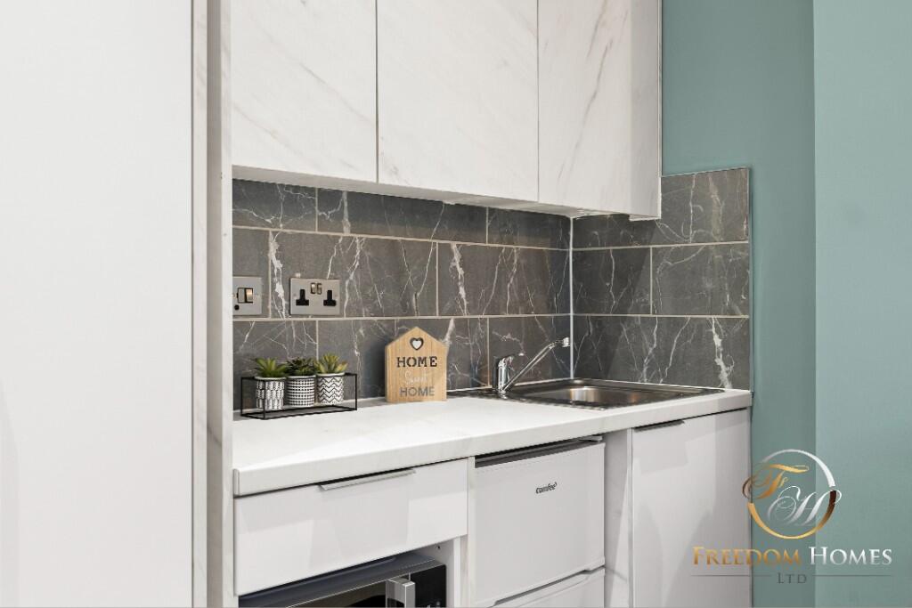
Images


Nearby Streets
| Name | Average Price | Average Sqft | Distance |
|---|---|---|---|
| Comet Drive | £ 0 | 0 | 0.00 KM |
| Kirby Close | £ 0 | 0 | 0.00 KM |
| Cross Street | £ 0 | 0 | 0.00 KM |
| Mill Road | £ 190,000 | 0 | 0.00 KM |
| Old Kiln Lane | £ 0 | 0 | 0.00 KM |
Nearby Transport
| Name | NLC | TLC | Distance |
|---|---|---|---|
| Langley Mill | 1761 | LGM | 4.05 KM |
| Ilkeston | 7783 | ILN | 4.19 KM |
| Newstead | 1863 | NSD | 9.96 KM |
Nearby Listings
| Address | Price | Type | Score | Distance |
|---|---|---|---|---|
| Walker Street, Eastwood, Nottingham | £ 850 | RENT | Unknown | 0.20 KM |
| Barber Street, Eastwood, Nottingham | £ 850 | RENT | Unknown | 0.22 KM |
| Barber Street, Eastwood, NOTTINGHAM | £ 825 | RENT | Unknown | 0.23 KM |
| Lynncroft, Eastwood, NG16 | £ 875 | RENT | Unknown | 0.28 KM |
| Comet Drive, NG16 | £ 114 | RENT | Unknown | 0.30 KM |
Nearby Properties
| Address | Price | Distance |
|---|---|---|
| 106 Lynncroft | £ 76,000 | 0.03 KM |
| 108 Lynncroft | £ 112,500 | 0.03 KM |
| 146a Lynncroft | £ 120,000 | 0.03 KM |
| 130 Lynncroft | £ 162,000 | 0.03 KM |
| 112 Lynncroft | £ 94,000 | 0.03 KM |