
HO
Lawson Road, LOWESTOFT
By Howards Lettings
£ 925
Howards Lettings says ..
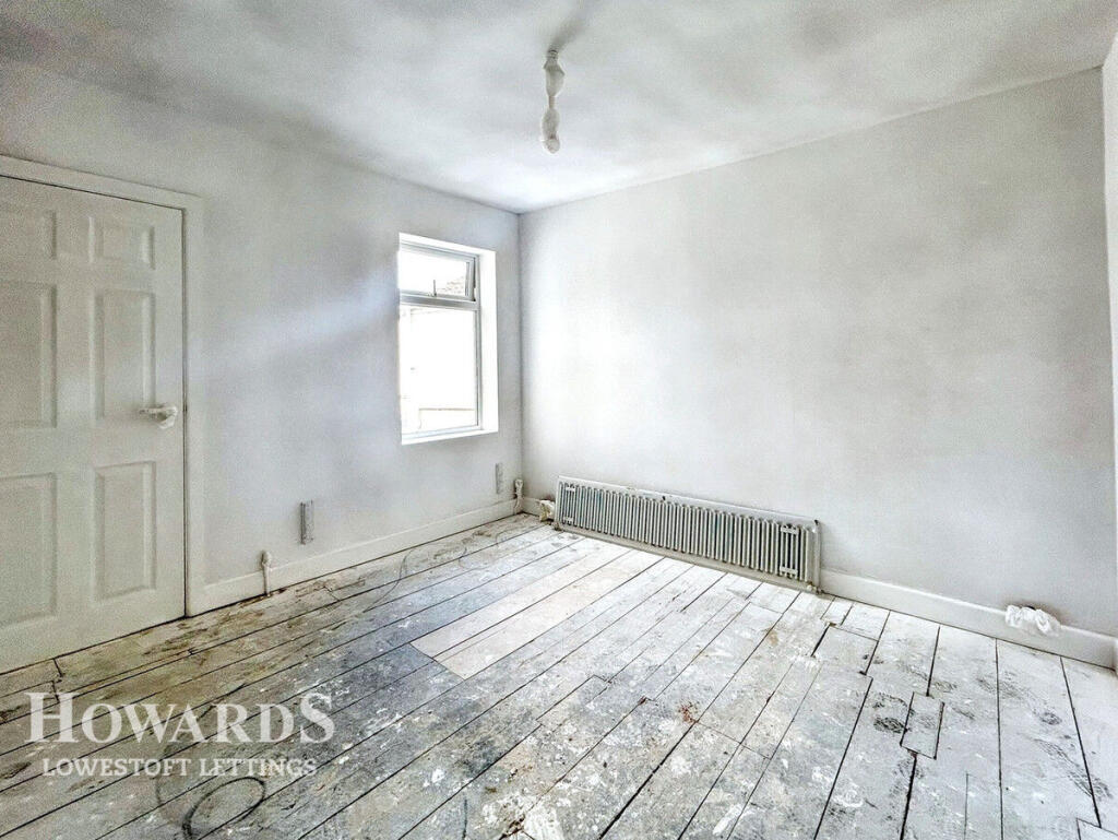
Almost home, coming soon 3 bedroom!
- Bedrooms
- 3
- Bathrooms
- 1
The heatmap indicates the level of crime in the area. The color of the heatmap indicates the crime severity and recency.
Metrics Year-on-Year
- Average area value
- 222,631.00 £Decreased by 9.27 %
- Average area rental value
- 761.00 £/moDecreased by 21.06 %
- Est rental Yield
- 4.10 %Decreased by 12.95 %
- Crime Rate
- 20.00 %Unchanged by 0.00 %
from 245,369.00 £
from 964.00 £/mo
from 4.71 %
from 20.00 %
Agent Activity
Howards Lettings created the listing.
Nearby Schools
| Name | Type | Ofsted | Distance |
|---|---|---|---|
| Red Oak Primary School | Academy Sponsor Led | Good | 0.48 KM |
| Kirkley Children'S Centre | Children's Centre | 0.60 KM | |
| St Mary'S Roman Catholic Primary School | Academy Converter | Good | 0.64 KM |
| Riverside Children'S Centre | Children's Centre | 0.75 KM | |
| Phoenix St Peter Academy | Academy Sponsor Led | Requires improvement | 0.90 KM |
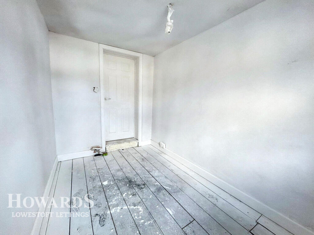
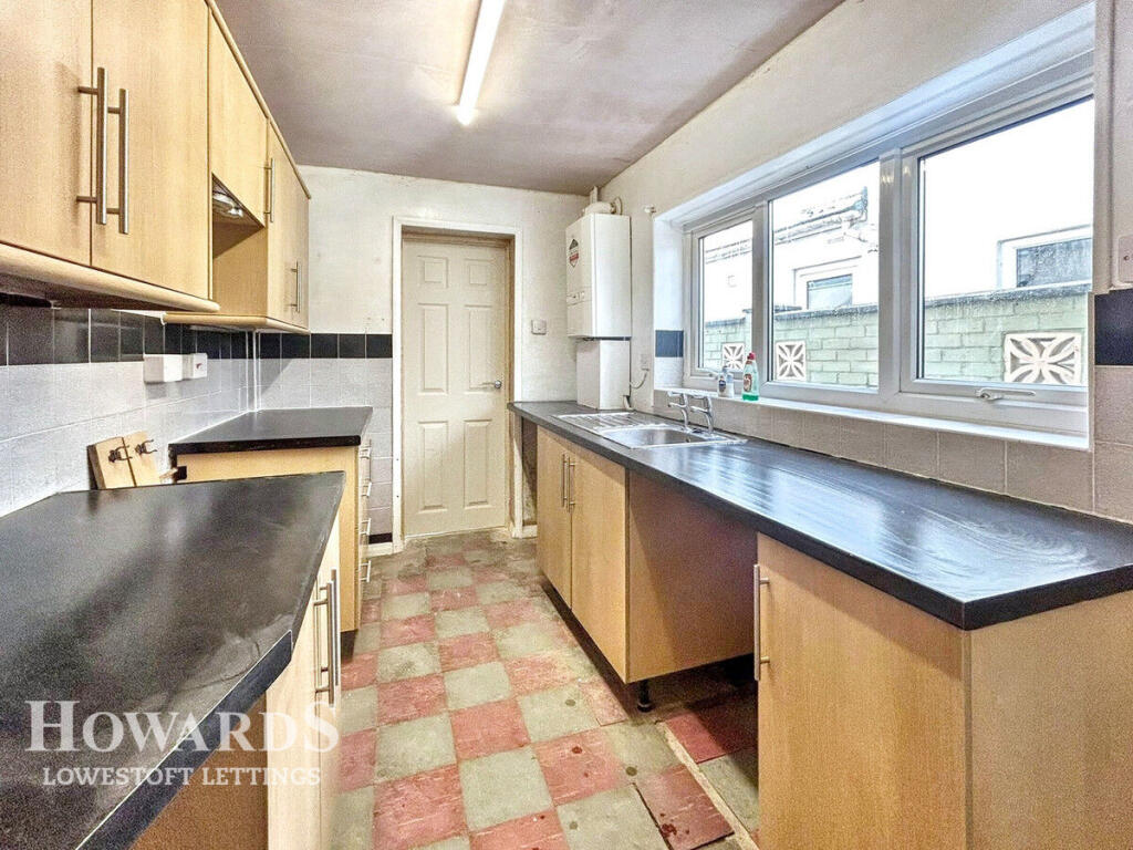
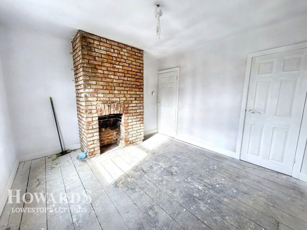
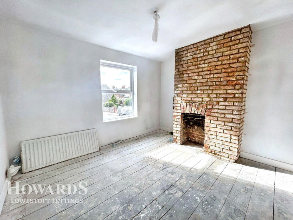
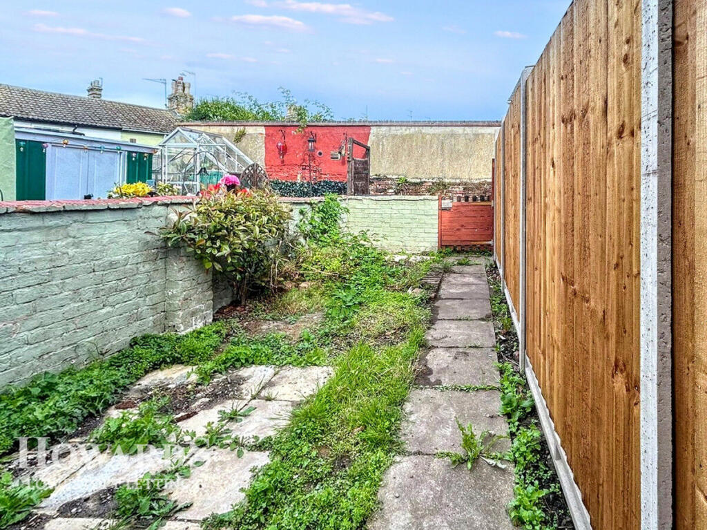
Images


Nearby Streets
| Name | Average Price | Average Sqft | Distance |
|---|---|---|---|
| Bruce Street | £ 0 | 0 | 0.00 KM |
| Station Square | £ 0 | 0 | 0.00 KM |
| Bon Marche | £ 0 | 0 | 0.00 KM |
| Camp Road | £ 140,000 | 0 | 0.00 KM |
| Marina | £ 0 | 0 | 0.00 KM |
Nearby Transport
| Name | NLC | TLC | Distance |
|---|---|---|---|
| Lowestoft | 7268 | LWT | 1.17 KM |
| Oulton Broad North | 7273 | OUN | 3.19 KM |
| Oulton Broad South | 7274 | OUS | 3.85 KM |
Nearby Listings
| Address | Price | Type | Score | Distance |
|---|---|---|---|---|
| Lawson Road, LOWESTOFT | £ 925 | RENT | Unknown | 0.00 KM |
| Lawson Road, LOWESTOFT | £ 925 | RENT | Unknown | 0.00 KM |
| Lawson Road, Lowestoft, NR33 | £ 875 | RENT | Unknown | 0.03 KM |
| Ontario Road, Lowestoft, Suffolk, NR33 | £ 800 | RENT | Unknown | 0.07 KM |
| Union Place, Lowestoft, NR33 | £ 995 | RENT | Unknown | 0.13 KM |
Nearby Properties
| Address | Price | Distance |
|---|---|---|
| 53 Lawson Road | £ 168,000 | 0.03 KM |
| 36 Lawson Road | £ 90,500 | 0.03 KM |
| 73 Lawson Road | £ 170,000 | 0.03 KM |
| 51 Lawson Road | £ 119,000 | 0.03 KM |
| 48 Lawson Road | £ 160,000 | 0.03 KM |