LE
The Grove, Kettering, Northamptonshire, NN15
By Let It!
£ 925
Let It! says ..
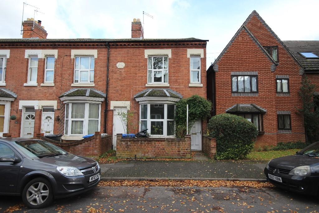
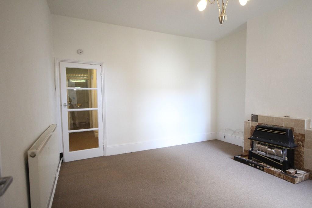
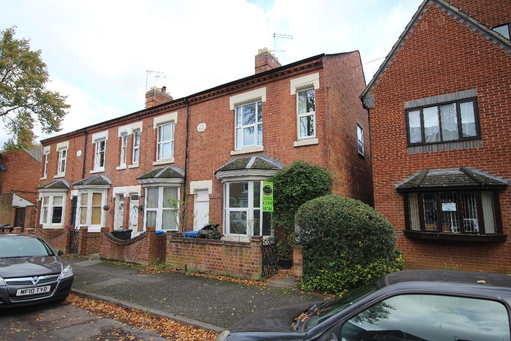
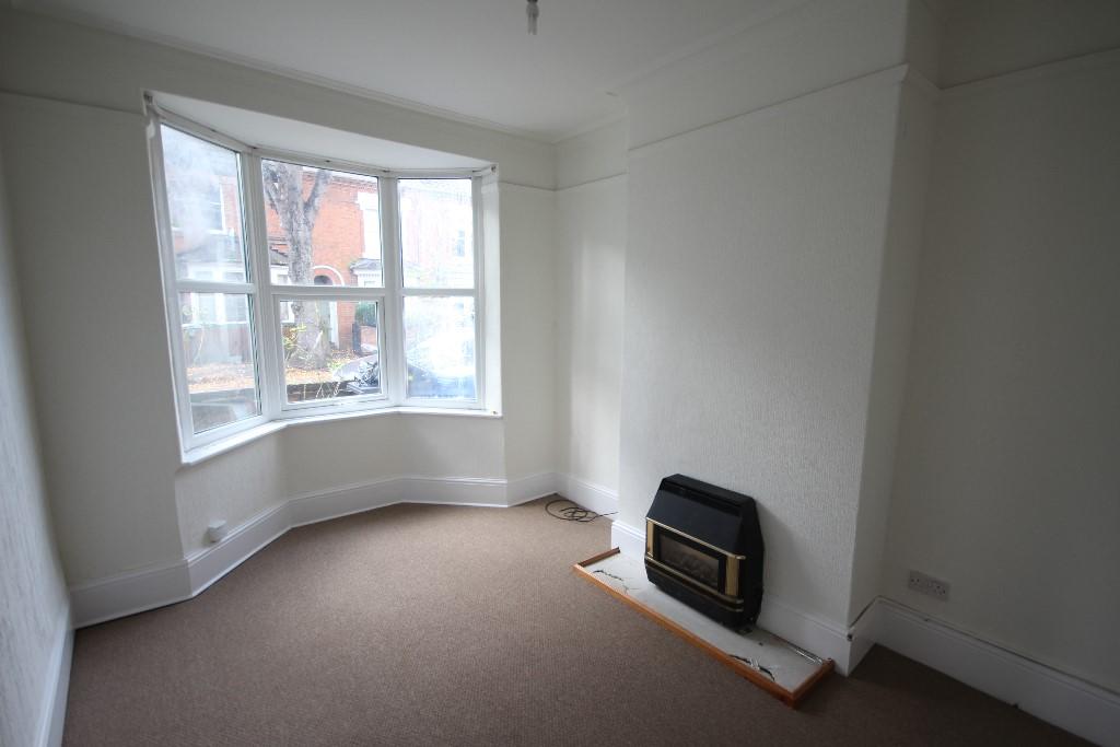
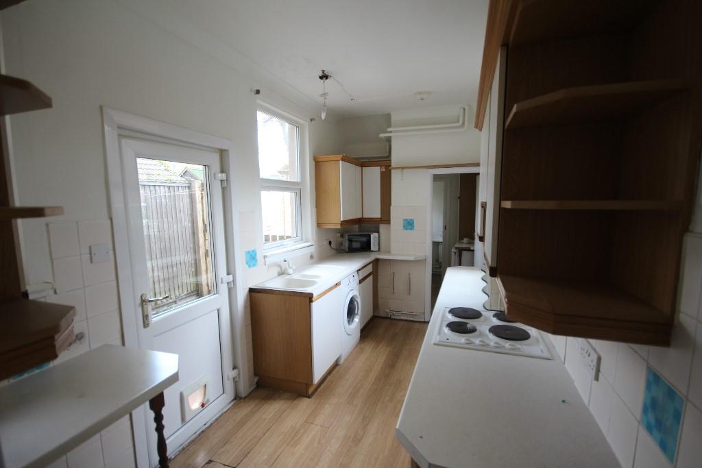
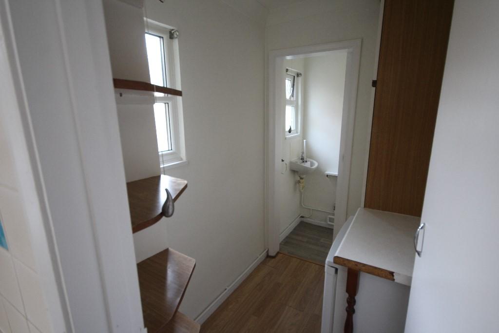
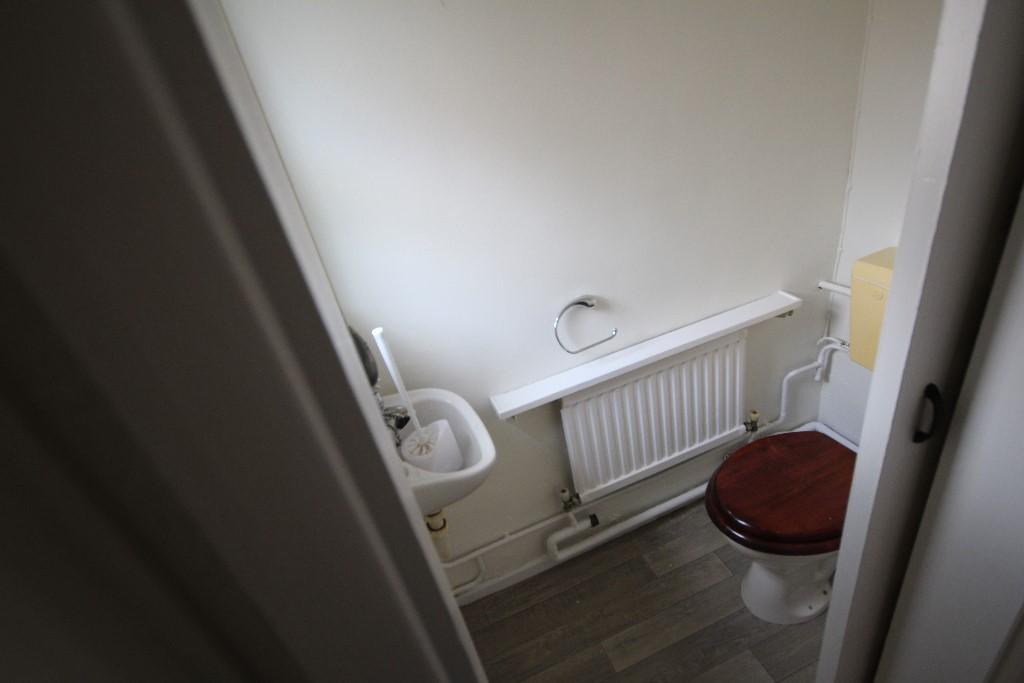
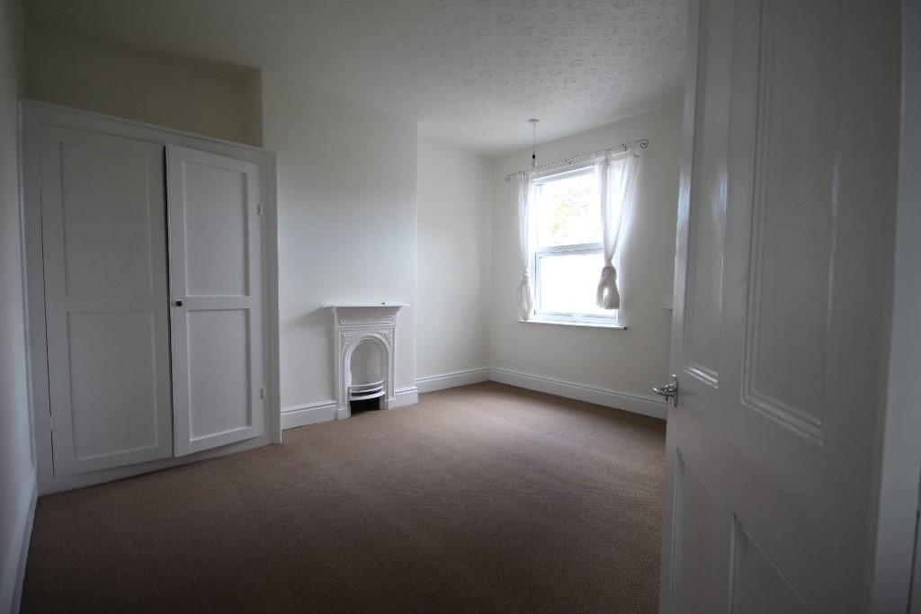
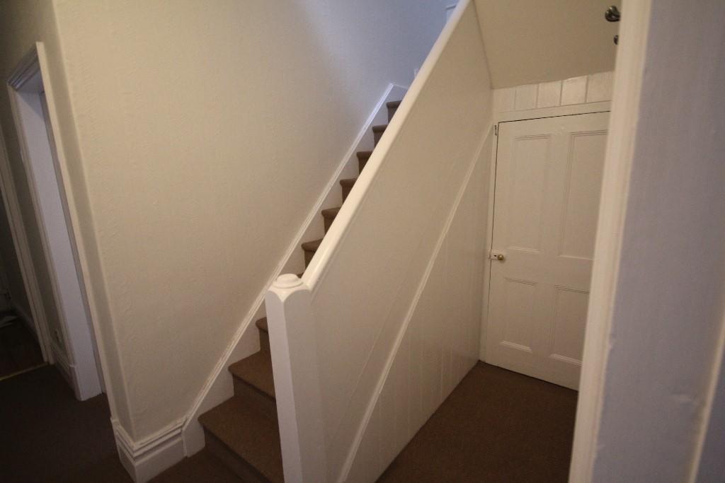
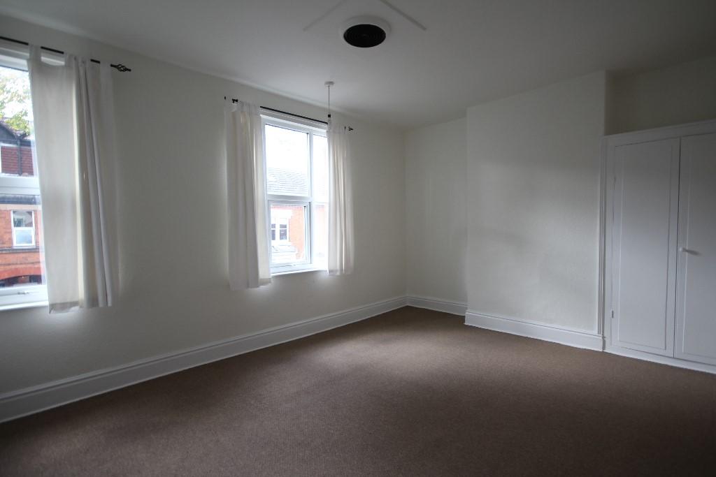
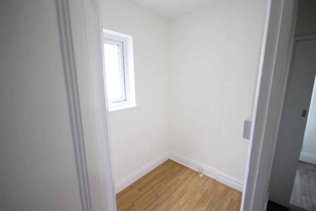
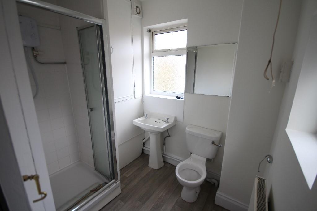
Sizeable 3 bedroom end terrace property located a short walk from town centre and train station. Bay fronted lounge, kitchen/utility with all appliances and a lot of built-in storage, downstairs W.C 2 large double bedrooms and bathroom.
- Bedrooms
- 3
- Bathrooms
- 1
The heatmap indicates the level of crime in the area. The color of the heatmap indicates the crime severity and recency.
Metrics Year-on-Year
- Average area value
- 427,000.00 £Increased by 34.23 %
- Average area rental value
- 1,474.00 £/moIncreased by 65.99 %
- Est rental Yield
- 4.14 %Increased by 23.58 %
- Crime Rate
- 10.00 %Unchanged by 0.00 %
from 318,099.00 £
from 888.00 £/mo
from 3.35 %
from 10.00 %
Agent Activity
Let It! created the listing.
Nearby Schools
| Name | Type | Ofsted | Distance |
|---|---|---|---|
| Hawthorn Community Primary School | Academy Converter | 0.33 KM | |
| St Peter'S School | Other Independent School | 0.55 KM | |
| Montagu Street Children'S Centre | Children's Centre | 0.96 KM | |
| Greenfields Primary School And Nursery | Academy Sponsor Led | Outstanding | 1.04 KM |
| Bishop Stopford School | Academy Converter | 1.06 KM |
Images
Nearby Streets
| Name | Average Price | Average Sqft | Distance |
|---|---|---|---|
| Goadby's Yard | £ 0 | 0 | 0.00 KM |
| Saunders Close | £ 0 | 0 | 0.00 KM |
| Printers Yard | £ 0 | 0 | 0.00 KM |
| Drill Hall Court | £ 0 | 0 | 0.00 KM |
| Tordoff Place | £ 0 | 0 | 0.00 KM |
Nearby Transport
| Name | NLC | TLC | Distance |
|---|---|---|---|
| Kettering | 1857 | KET | 0.70 KM |
Nearby Listings
| Address | Price | Type | Score | Distance |
|---|---|---|---|---|
| Bowling Green Road, Kettering, Northamptonshire, NN15 | £ 750 | RENT | Unknown | 0.06 KM |
| Bowling Green Avenue, Kettering, Northamptonshire, NN15 | £ 825 | RENT | Unknown | 0.11 KM |
| Bowling Green Avenue, Kettering, NN15 | £ 870 | RENT | Unknown | 0.13 KM |
| Southlands, Kettering, Northants | £ 1,200 | RENT | Unknown | 0.19 KM |
| Pryor Road, Kettering, NN15 7FD | £ 1,295 | RENT | Unknown | 0.21 KM |
Nearby Properties
| Address | Price | Distance |
|---|---|---|
| 35 The Grove | £ 150,000 | 0.00 KM |
| 6a Lime Tree Mews | £ 39,000 | 0.00 KM |
| 41 The Grove | £ 265,500 | 0.00 KM |
| 12 Lime Tree Mews | £ 80,000 | 0.00 KM |
| 7 The Grove | £ 145,000 | 0.00 KM |