
HA
Broxholm Road, West Norwood SE27
By haart
£ 1,000
haart says ..
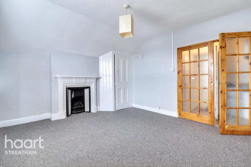
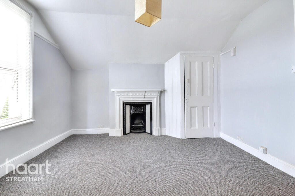
Haart Streatham Proudly Presents: Newly Refurbished Studio on Broxholm Road
- Bedrooms
- 0
- Bathrooms
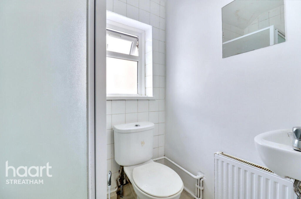
- 1
The heatmap indicates the level of crime in the area. The color of the heatmap indicates the crime severity and recency.
Metrics Year-on-Year
- Average area value
- 696,167.00 £Decreased by 17.95 %
- Average area rental value
- 2,133.00 £/moDecreased by 1.25 %
- Est rental Yield
- 3.68 %Increased by 20.26 %
- Crime Rate
- 2.00 %Unchanged by 0.00 %
from 848,431.00 £
from 2,160.00 £/mo
from 3.06 %
from 2.00 %
Agent Activity
haart created the listing.
Nearby Schools
| Name | Type | Ofsted | Distance |
|---|---|---|---|
| Hitherfield Primary School & Children'S Centre (P2) | Children's Centre | 0.28 KM | |
| Hitherfield Primary School | Community School | Good | 0.34 KM |
| Dunraven School | Academy Converter | Outstanding | 0.45 KM |
| Sunnyhill Primary School | Community School | Good | 0.68 KM |
| Streatham Wells Primary School | Community School | Good | 0.78 KM |
Images
Nearby Streets
| Name | Average Price | Average Sqft | Distance |
|---|---|---|---|
| Caroline Close | £ 0 | 0 | 0.00 KM |
| Knollys Road | £ 390,000 | 0 | 0.00 KM |
| Yeomans Close | £ 0 | 0 | 0.00 KM |
| Tredwell Road | £ 0 | 0 | 0.00 KM |
| Neil Wates Crescent | £ 375,000 | 0 | 0.00 KM |
Nearby Transport
| Name | NLC | TLC | Distance |
|---|---|---|---|
| West Norwood | 5438 | WNW | 1.29 KM |
| Tulse Hill | 5390 | TUH | 1.37 KM |
| Streatham Hill | 5435 | SRH | 1.42 KM |
| Streatham | 5383 | STE | 1.96 KM |
| Norbury | 5428 | NRB | 2.51 KM |
Nearby Listings
| Address | Price | Type | Score | Distance |
|---|---|---|---|---|
| Broxholm Road, West Norwood SE27 | £ 1,000 | RENT | Unknown | 0.00 KM |
| Leigham Court Road, Streatham | £ 1,650 | RENT | Unknown | 0.06 KM |
| Knollys Road, Streatham, SW16 | £ 1,950 | RENT | Unknown | 0.07 KM |
| Broxholm Road, SE27 | £ 1,250 | RENT | Unknown | 0.09 KM |
| Broxholm Road, London, SE27 | £ 2,350 | RENT | Unknown | 0.10 KM |
Nearby Properties
| Address | Price | Distance |
|---|---|---|
| 39 Broxholm Road | £ 799,950 | 0.09 KM |
| 3 Broxholm Road | £ 525,000 | 0.09 KM |
| 9a Broxholm Road | £ 65,000 | 0.09 KM |
| 23 Broxholm Road | £ 220,000 | 0.09 KM |
| 69a Broxholm Road | £ 300,000 | 0.09 KM |