Upper Avenue, Eastbourne, East Sussex, BN21
By Ginger & Sanders
£ 350,000
Reviews
3 out of 5 stars
Ginger & Sanders says ..
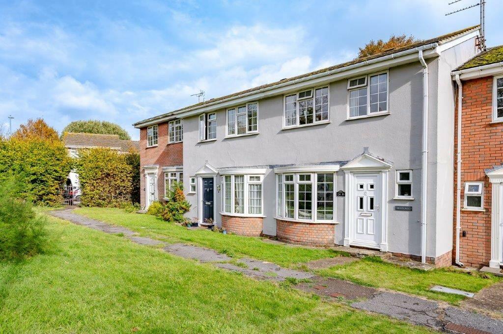
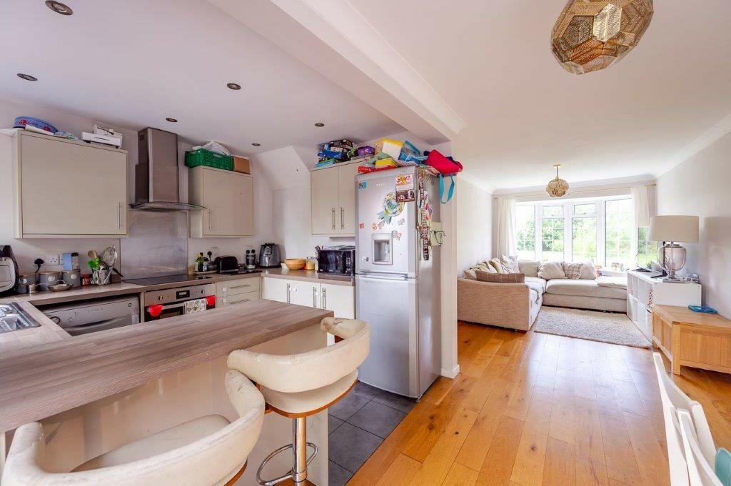
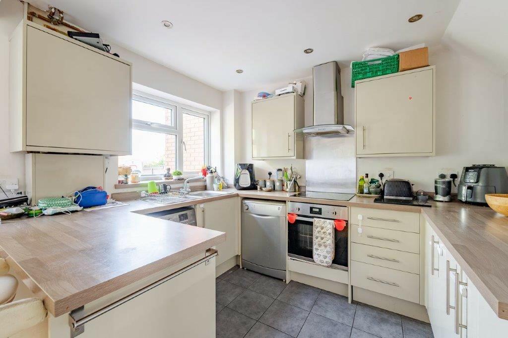
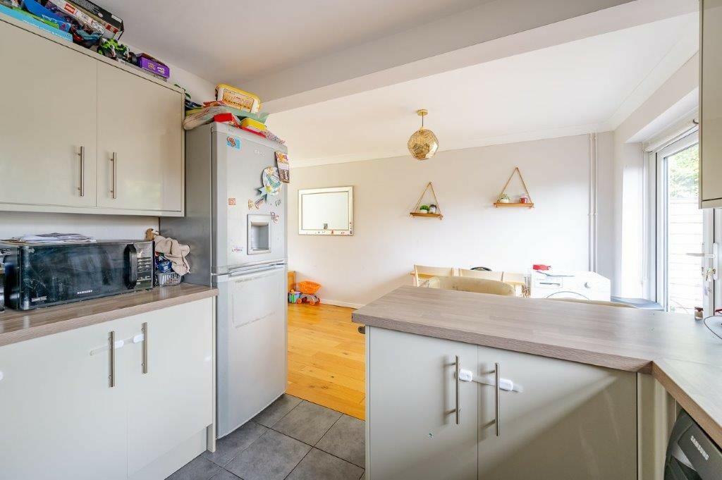
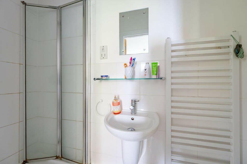
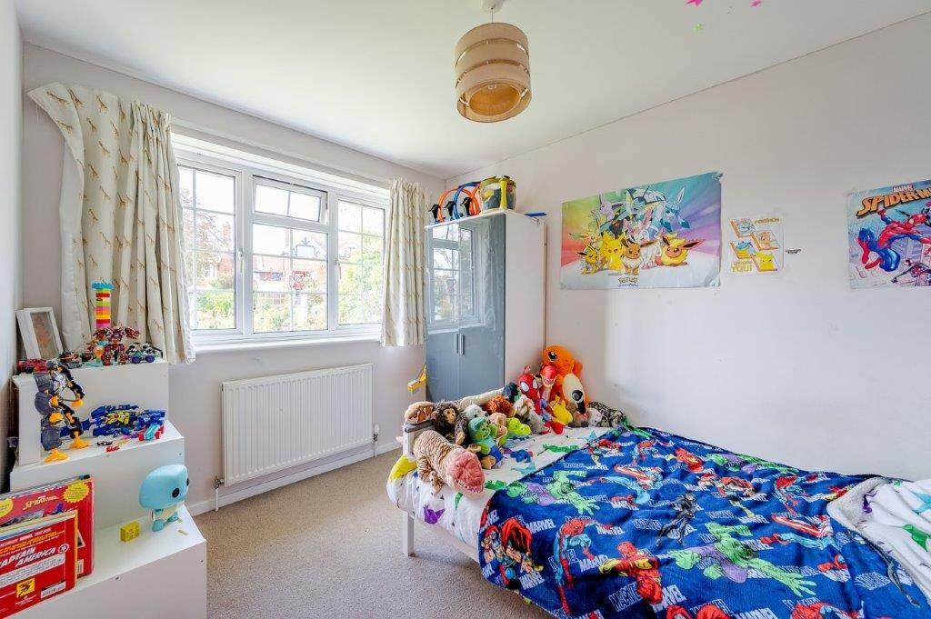
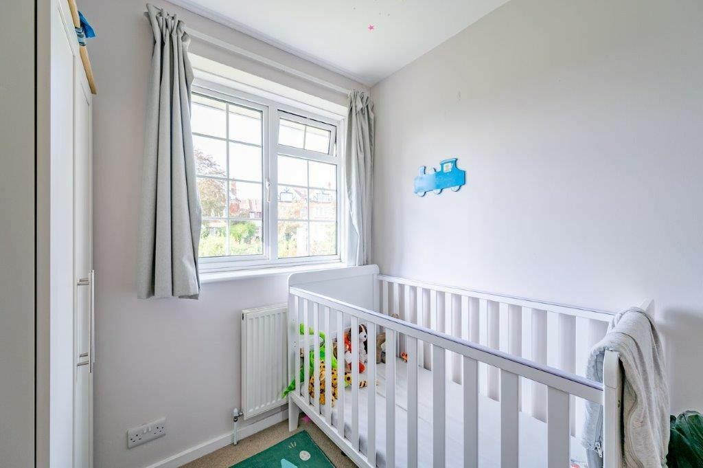
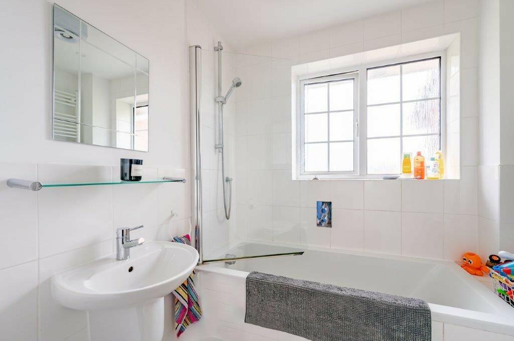
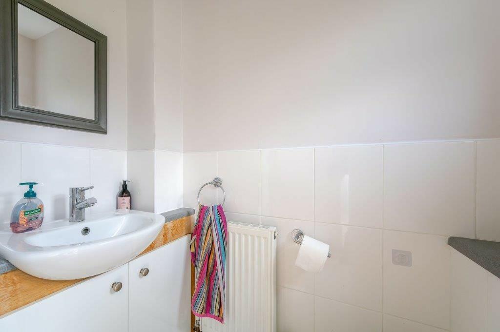
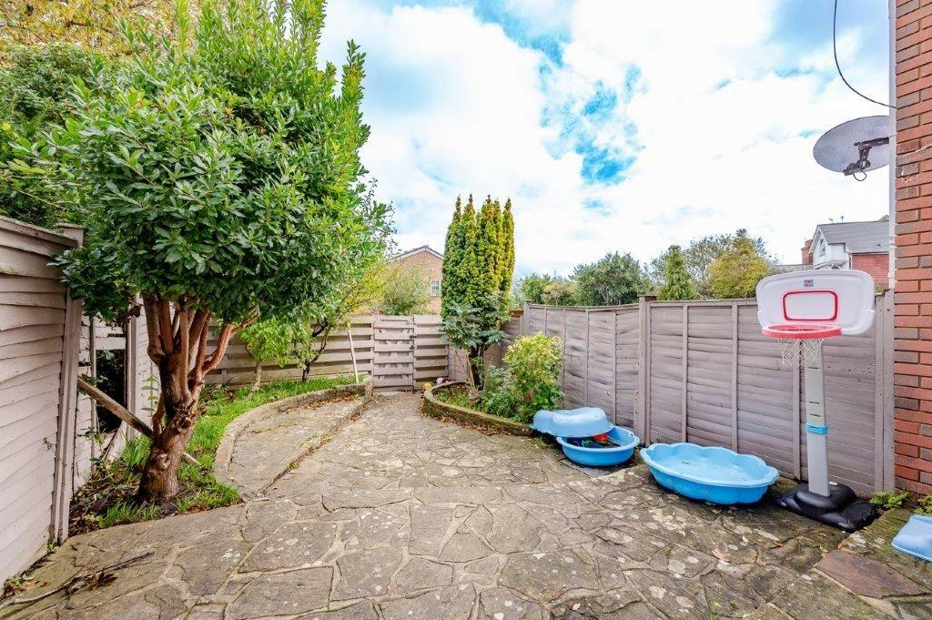
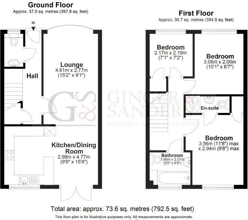
A THREE-BEDROOM terraced house. Located in the popular Upperton area of Eastbourne, this family home comprises two double bedrooms (one en-suite), a single bedroom, lounge and open plan kitchen, family bathroom and downstairs W/C.
Property Oracle says ..
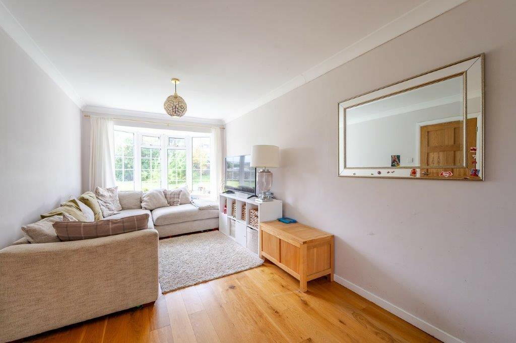
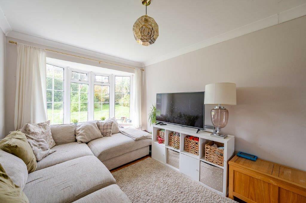
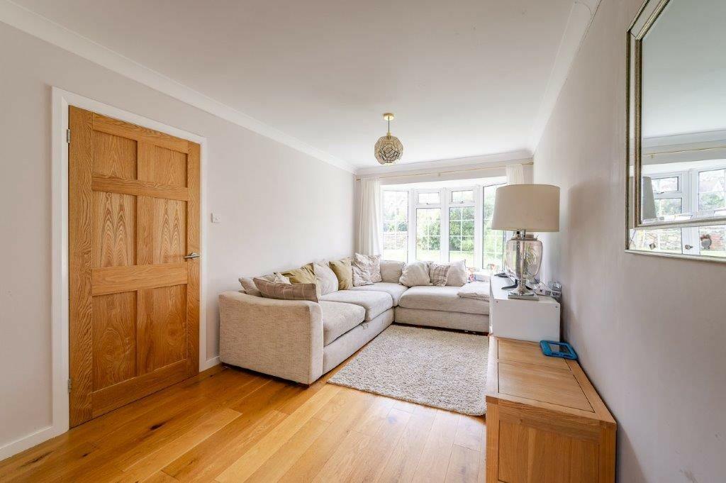
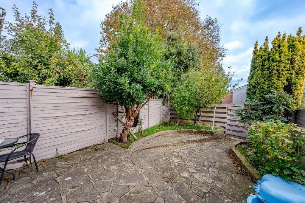
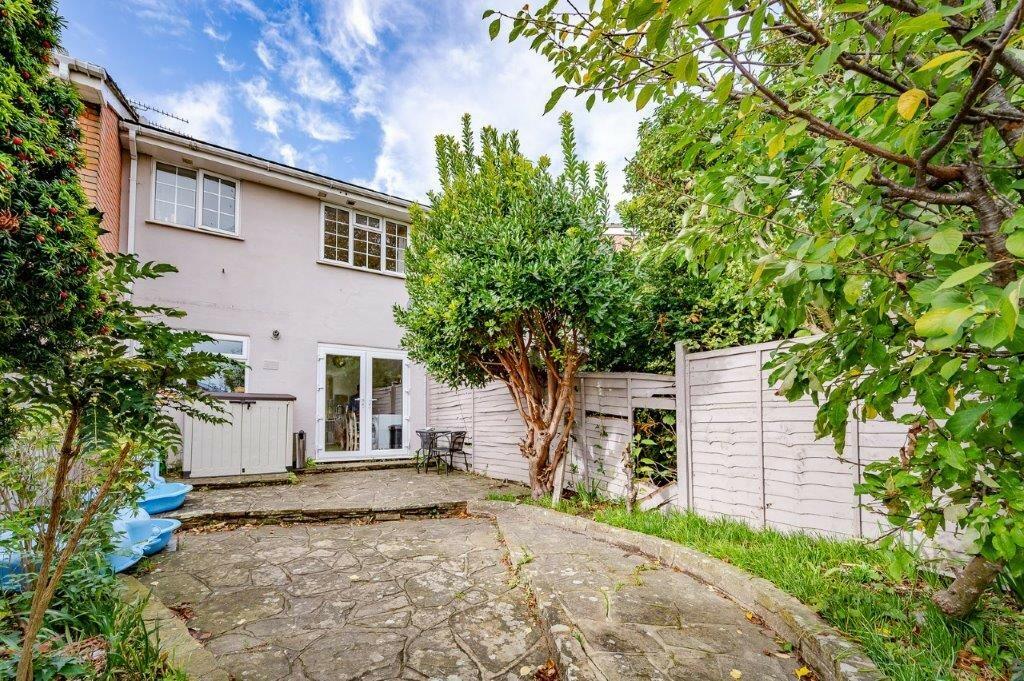
The property is a 3 bedroom, 2 bathroom terraced house located on Upper Avenue in Eastbourne, East Sussex. It has a list price of £350,000 and is 716.77 sqft with a plot size of 792.22 sqft. The property appears to be in good condition. The interior is clean and well-maintained, with modern fixtures and fittings. The exterior also appears to be in good condition. There is a small garden to the rear of the property. The location is good. The property is within easy reach of local amenities, including shops, schools and transportation links. Eastbourne train station is approximately 0.71 km away, providing convenient access to other parts of the country. Several schools are nearby, including Anderida Learning Centre (0.66 km), Bourne Primary School (0.69 km) and St Thomas A Becket Catholic Primary School (0.91 km), all of which have a good Ofsted rating. Considering the average price of similar properties in the area (£310,305) and the average price per sqft (£390), the list price of £350,000 seems slightly high. However, the property’s good condition and the inclusion of a garden could justify the higher price. The average house price in the immediate vicinity is not available from the provided data, making a more precise comparison difficult. Further analysis of local comparable properties would be beneficial to determine a more accurate valuation.
Therefore, we give this property 7 / 10. *Disclaimer: This is our option and does constitute a recommendation or financial advice. Do your own research. *
- Price
- 7
- Condition
- 8
- Location
- 8
- Land
- 6
- Bedrooms
- 3
- Bathrooms
- 2
- Sqft (est)
- 716.77
- Lot (est)
- 792.22
The heatmap indicates the level of crime in the area. The color of the heatmap indicates the crime severity and recency.
Metrics Year-on-Year
- Average area value
- 245,817.00 £Decreased by 32.98 %
- Est sale value
- 252,303.04 £Increased by 2.03 %
- Average area rental value
- 1,151.00 £/moIncreased by 2.22 %
- Est letting value
- 716.77 £/moUnchanged by 0.00 %
- Est rental Yield
- 5.62 %Increased by 52.72 %
- Crime Rate
- 7.00 %Unchanged by 0.00 %
Agent Activity
Ginger & Sanders created the listing.
Nearby Schools
| Name | Type | Ofsted | Distance |
|---|---|---|---|
| Anderida Learning Centre | Other Independent Special School | Good | 0.66 KM |
| Bourne Primary School | Community School | Good | 0.69 KM |
| St Thomas A Becket Catholic Primary School | Voluntary Aided School | Good | 0.91 KM |
| Stafford Junior School | Academy Sponsor Led | 0.99 KM | |
| Devonshire Children'S Centre | Children's Centre | 1.06 KM |
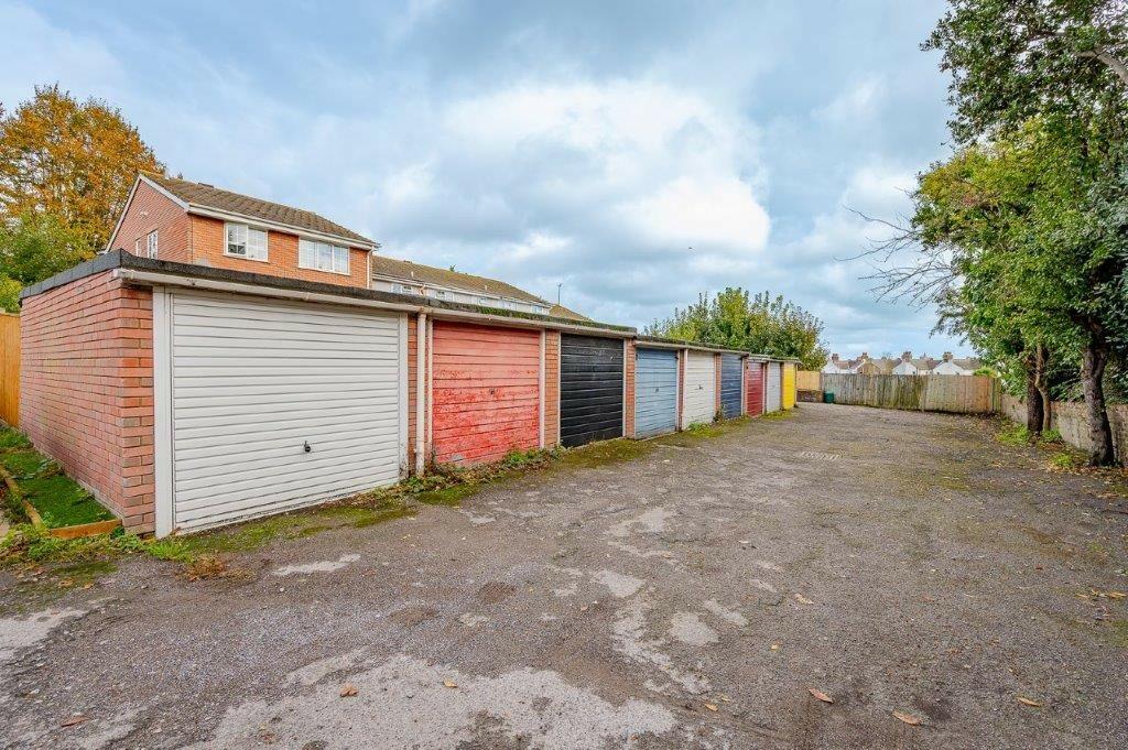
Images


Nearby Streets
| Name | Average Price | Average Sqft | Distance |
|---|---|---|---|
| Upper Avenue Roundabout | £ 0 | 0 | 0.00 KM |
| Whitley Road | £ 270,000 | 0 | 0.00 KM |
| Abbotts Close | £ 250,000 | 0 | 0.00 KM |
| Junction Road | £ 0 | 0 | 0.00 KM |
| Connaught Road | £ 0 | 0 | 0.00 KM |
Nearby Transport
| Name | NLC | TLC | Distance |
|---|---|---|---|
| Eastbourne | 5448 | EBN | 0.71 KM |
| Hampden Park (Sussex) | 5450 | HMD | 2.62 KM |
| Pevensey And Westham | 5461 | PEV | 6.36 KM |
| Polegate | 5455 | PLG | 6.95 KM |
| Pevensey Bay | 5462 | PEB | 7.96 KM |
Nearby Listings
| Address | Price | Type | Score | Distance |
|---|---|---|---|---|
| Upper Avenue, Eastbourne, East Sussex, BN21 | £ 350,000 | BUY | 7 / 10 | 0.00 KM |
| Upper Avenue, Eastbourne, East Sussex, BN21 | £ 300,000 | BUY | 7 / 10 | 0.00 KM |
| Upper Avenue, Eastbourne | £ 300,000 | BUY | 6 / 10 | 0.00 KM |
| Upper Avenue, Eastbourne, BN21 | £ 340,000 | BUY | 6 / 10 | 0.03 KM |
| Upper Avenue, Eastbourne | £ 175,000 | BUY | 6 / 10 | 0.06 KM |
Nearby Properties
| Address | Price | Distance |
|---|---|---|
| 20a Upper Avenue | £ 275,000 | 0.01 KM |
| 24a Upper Avenue | £ 84,000 | 0.01 KM |
| 24 Upper Avenue | £ 139,400 | 0.01 KM |
| 22 Upper Avenue | £ 230,000 | 0.01 KM |
| 16a Upper Avenue | £ 165,000 | 0.01 KM |