NI
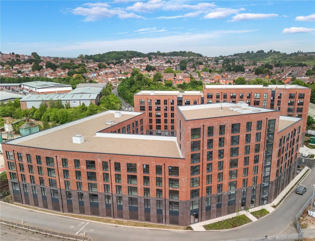
Wilson Roberts Court, Sherriff Street, Worcester, Worcestershire, WR4
By Nicol & Co
£ 1,150
Nicol & Co says ..
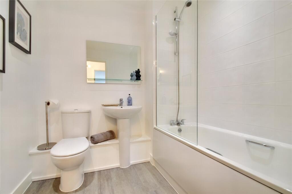
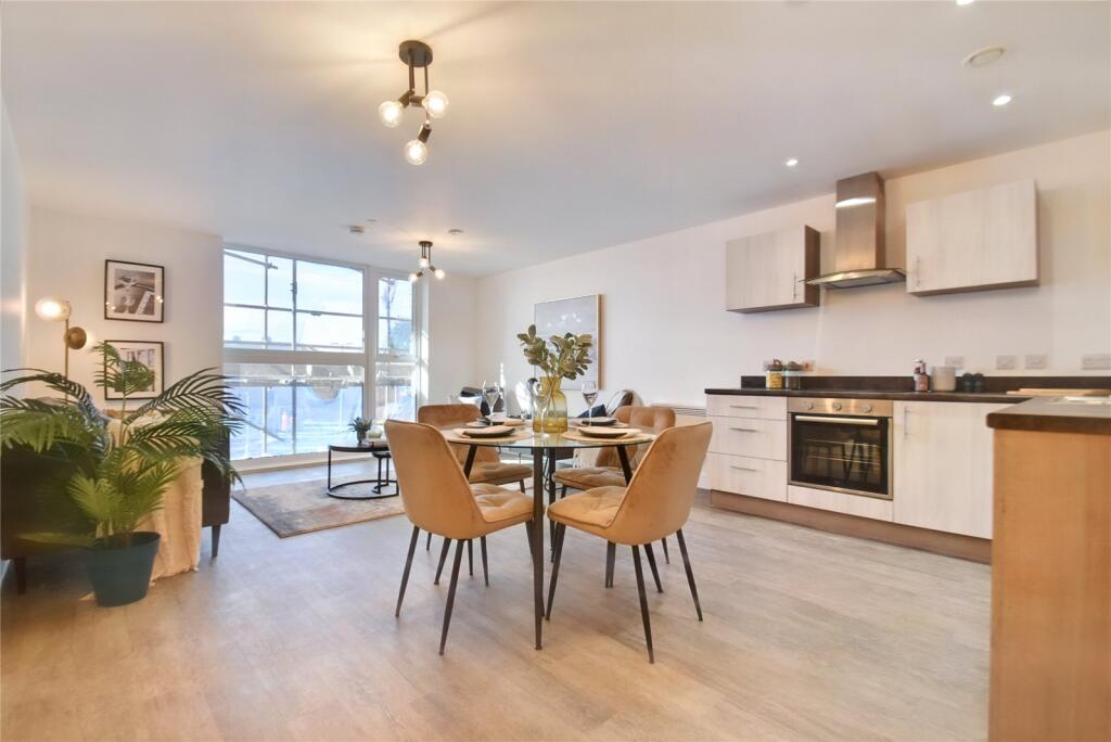
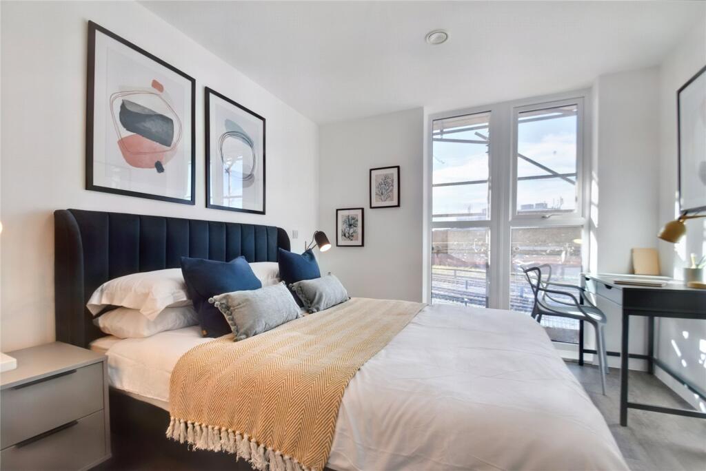
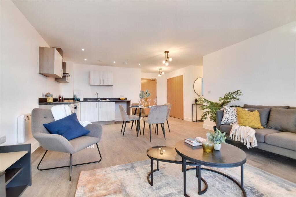
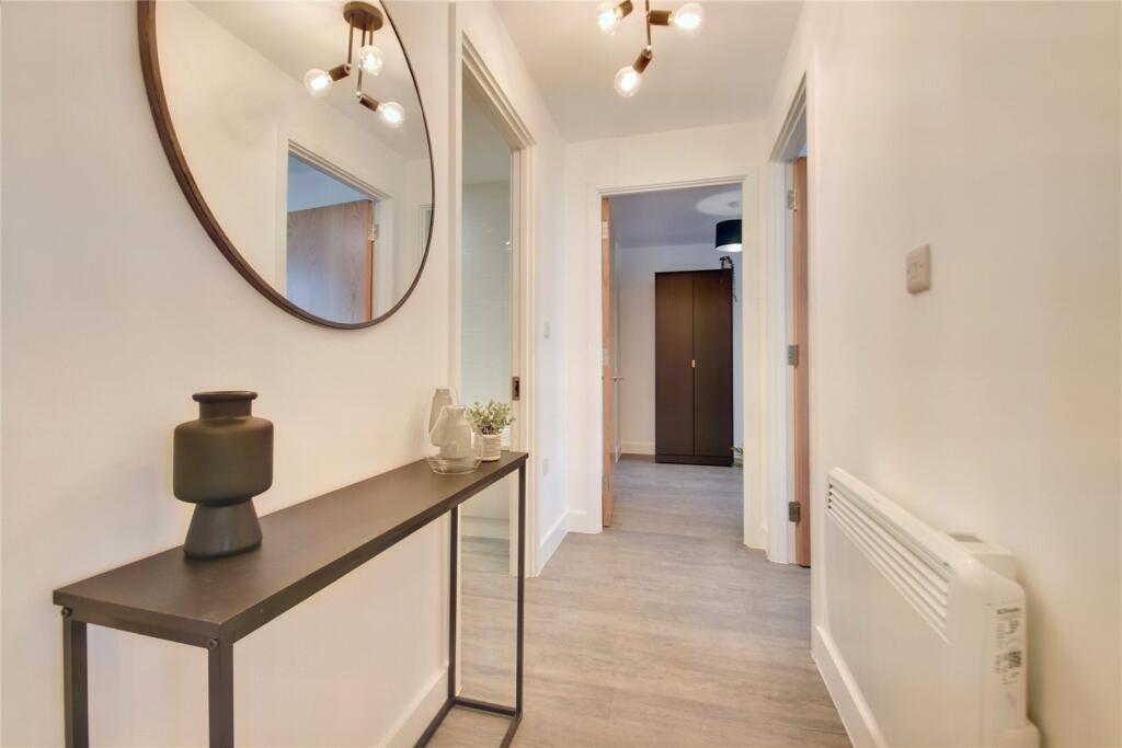
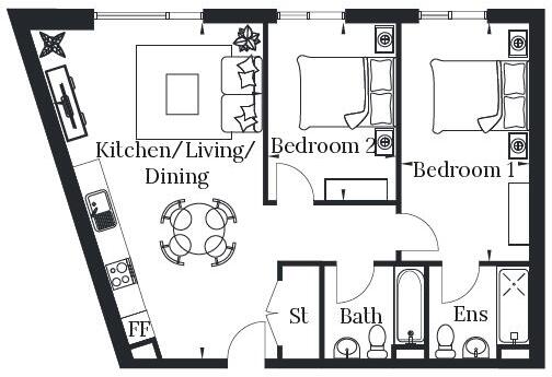
**LET PRIOR TO MARKETING - MORE APARTMENTS AVAILABLE** Contact us today to arrange a viewing and experience these spacious two bedroom apartments, located just minutes away from the vibrant city centre and within walking distance of Worcestershire Royal Hospital. Open-plan ...
- Bedrooms
- 2
- Bathrooms
- 1
The heatmap indicates the level of crime in the area. The color of the heatmap indicates the crime severity and recency.
Metrics Year-on-Year
- Average area value
- 388,750.00 £Decreased by 22.01 %
- Average area rental value
- 1,856.00 £/moIncreased by 37.48 %
- Est rental Yield
- 5.73 %Increased by 76.31 %
- Crime Rate
- 0.00 %
from 498,461.00 £
from 1,350.00 £/mo
from 3.25 %
from 0.00 %
Agent Activity
Nicol & Co created the listing.
Nearby Schools
| Name | Type | Ofsted | Distance |
|---|---|---|---|
| Stanley Road Primary School | Academy Converter | 0.61 KM | |
| Newbridge School | Academy Alternative Provision Sponsor Led | 0.68 KM | |
| Sunflower Children'S Centre | Children's Centre Linked Site | 0.69 KM | |
| Saffron Children'S Centre | Children's Centre | 0.69 KM | |
| Fort Royal | Community Special School | Good | 0.88 KM |
Images


Nearby Streets
| Name | Average Price | Average Sqft | Distance |
|---|---|---|---|
| Wye Close | £ 0 | 0 | 0.00 KM |
| Lilac Avenue | £ 200,000 | 0 | 0.00 KM |
| Lygon Walk | £ 0 | 0 | 0.00 KM |
| Kendall Street | £ 550,000 | 0 | 0.00 KM |
| Williamson Road | £ 142,500 | 0 | 0.00 KM |
Nearby Transport
| Name | NLC | TLC | Distance |
|---|---|---|---|
| Worcester Shrub Hill | 4891 | WOS | 0.28 KM |
| Worcester Foregate Street | 4893 | WOF | 1.62 KM |
| Worcestershire Parkway | 6580 | WOP | 6.78 KM |
| Droitwich Spa | 4878 | DTW | 9.74 KM |
Nearby Listings
| Address | Price | Type | Score | Distance |
|---|---|---|---|---|
| John Gregory Court, Sherriff's Gate, Worcester, Worcestershire, WR4 | £ 1,083 | RENT | Unknown | 0.00 KM |
| Wilson Roberts Court, Sherriff Street, Worcester, Worcestershire, WR4 | £ 1,150 | RENT | Unknown | 0.00 KM |
| John Gregory Court, Sherriff Street, Worcester, Worcestershire, WR4 | £ 1,150 | RENT | Unknown | 0.00 KM |
| Wilson Roberts Court, Sherriff Street, Worcester, Worcestershire, WR4 | £ 925 | RENT | Unknown | 0.00 KM |
| Wilson Roberts Court, Sherriff Street, Worcester, Worcestershire, WR4 | £ 990 | RENT | Unknown | 0.00 KM |
Nearby Properties
| Address | Price | Distance |
|---|---|---|
| 24 Newtown Road | £ 172,500 | 0.31 KM |
| 10 Newtown Road | £ 129,000 | 0.31 KM |
| 12 Newtown Road | £ 225,000 | 0.31 KM |
| 22 Newtown Road | £ 105,000 | 0.31 KM |
| 6 Newtown Road | £ 212,000 | 0.31 KM |