TH
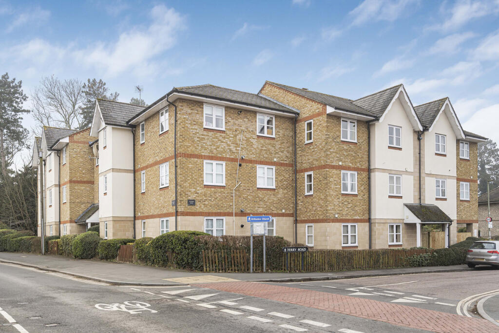
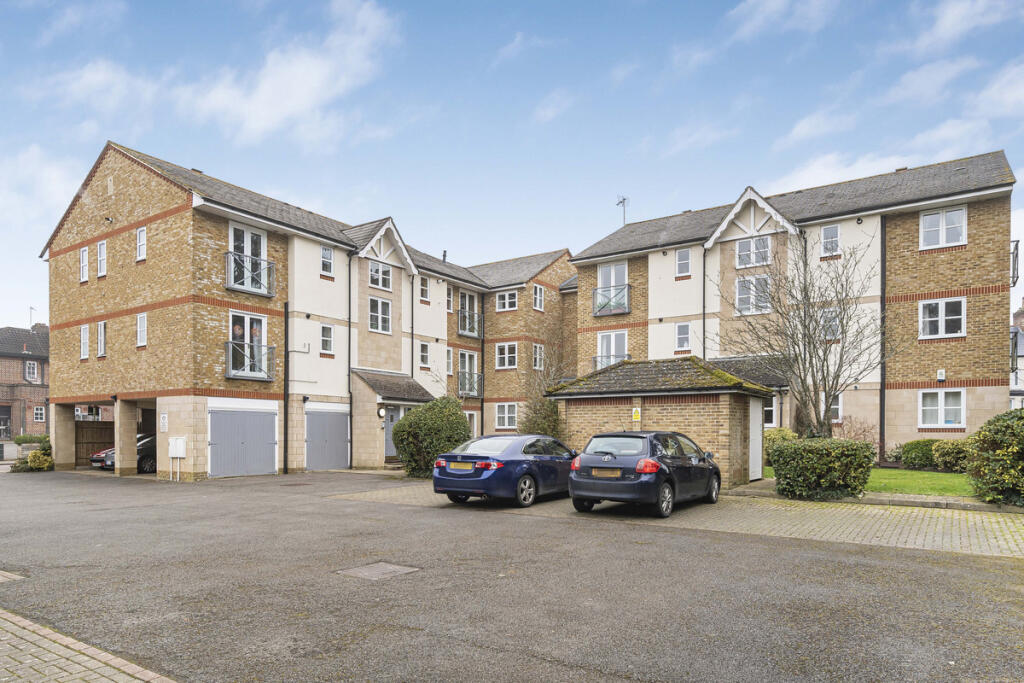
Ferry Road, Oxford, OX3
By Thomas Merrifield
£ 335,000
Thomas Merrifield says ..
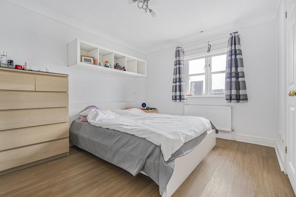
A well presented two double bedroom top floor apartment with allocated parking, in a very sought after location
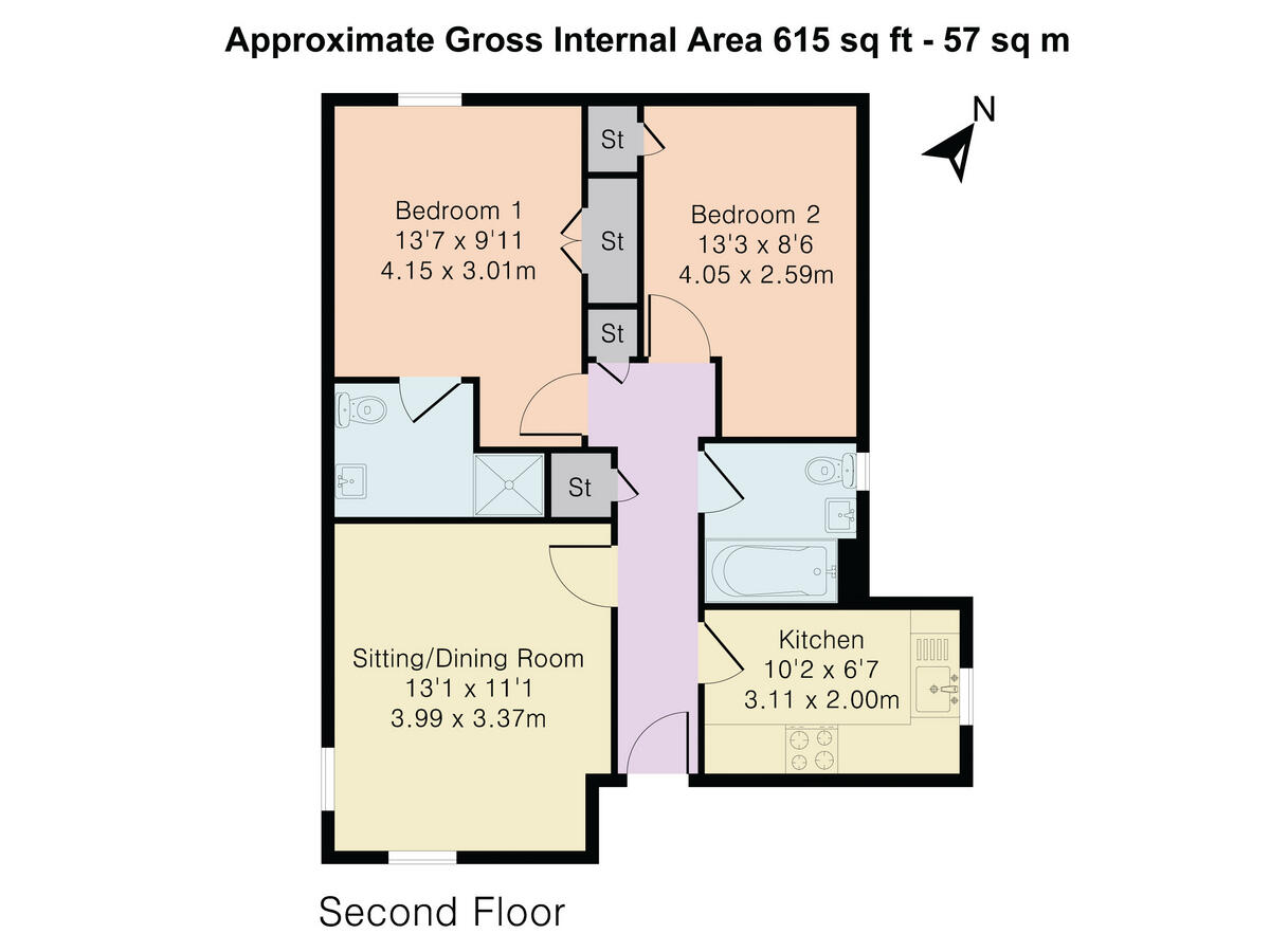
- Bedrooms
- 2
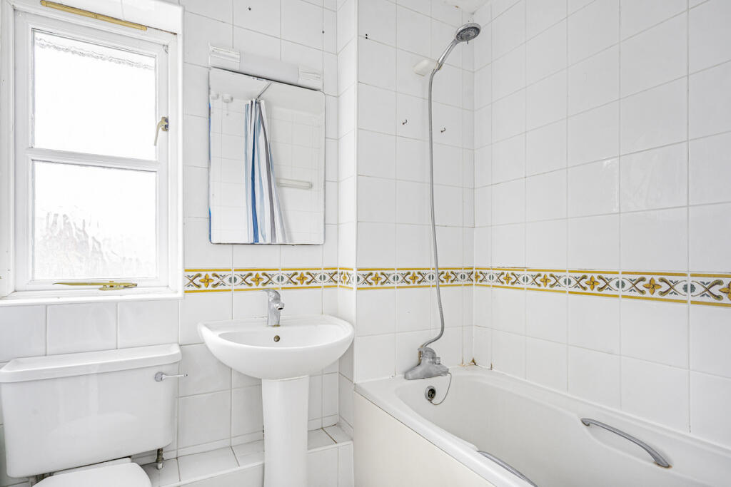
- Bathrooms
- 2
The heatmap indicates the level of crime in the area. The color of the heatmap indicates the crime severity and recency.
Metrics Year-on-Year
- Average area value
- 620,000.00 £Increased by 19.65 %
- Average area rental value
- 1,496.00 £/moDecreased by 23.44 %
- Est rental Yield
- 2.90 %Decreased by 35.98 %
- Crime Rate
- 2.00 %Unchanged by 0.00 %
from 518,187.00 £
from 1,954.00 £/mo
from 4.53 %
from 2.00 %
Agent Activity
Thomas Merrifield created the listing.
Nearby Schools
| Name | Type | Ofsted | Distance |
|---|---|---|---|
| St Michael'S Cofe Primary School | Voluntary Aided School | Good | 0.12 KM |
| Oxford International College | Other Independent School | Good | 0.91 KM |
| St Joseph'S Catholic Primary School, Oxford | Voluntary Aided School | Good | 1.10 KM |
| East Oxford Primary School | Community School | Good | 1.13 KM |
| Rye St Antony | Other Independent School | 1.14 KM |
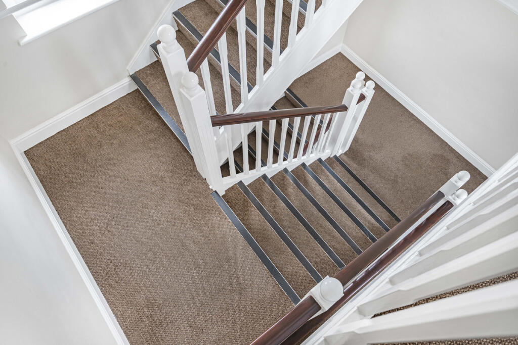
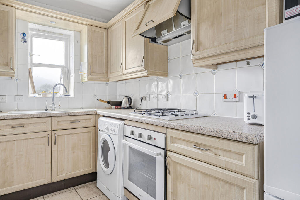
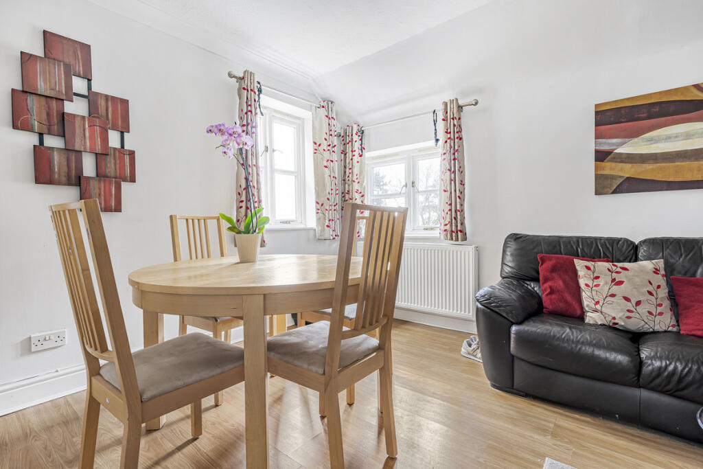
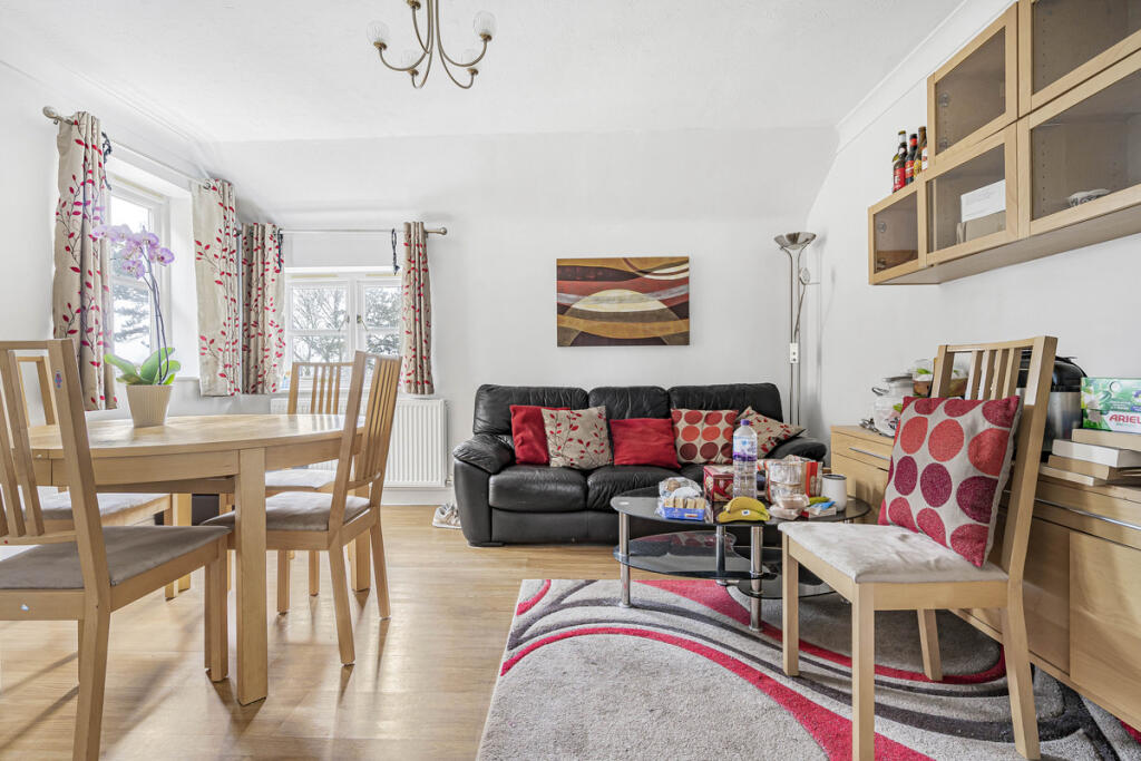
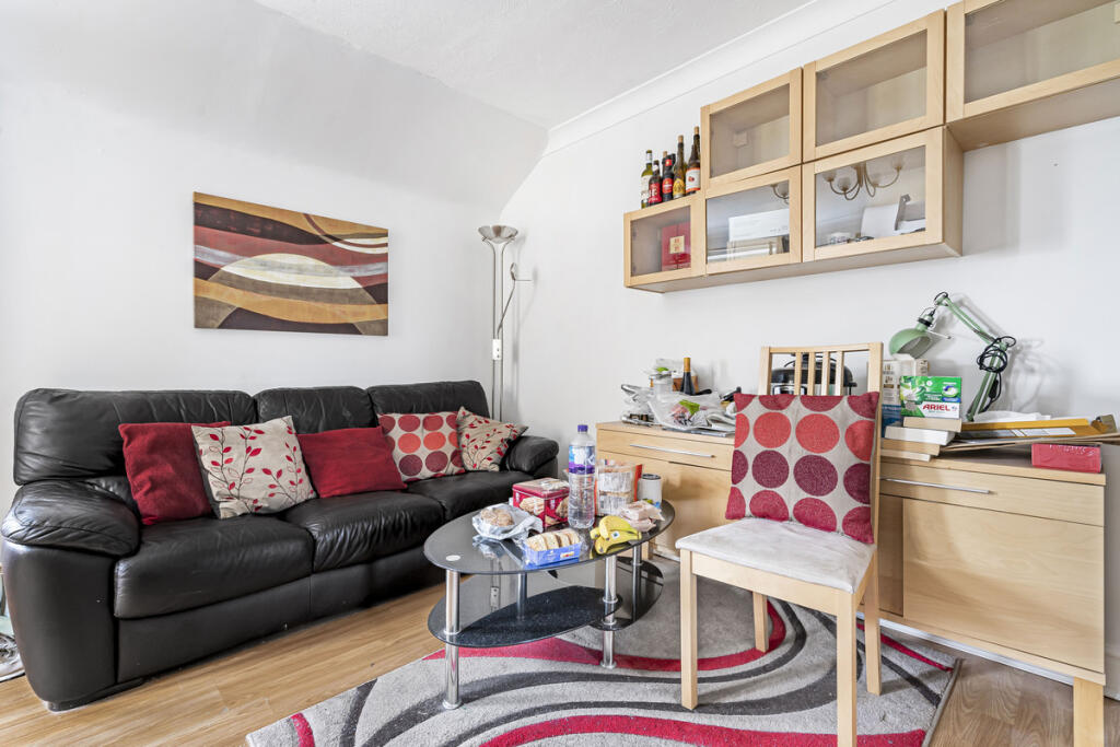
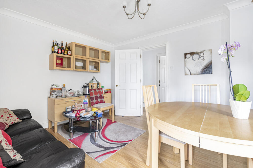
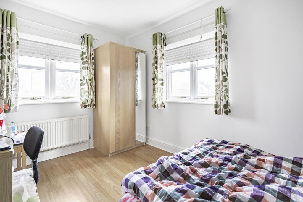
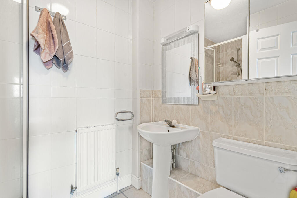
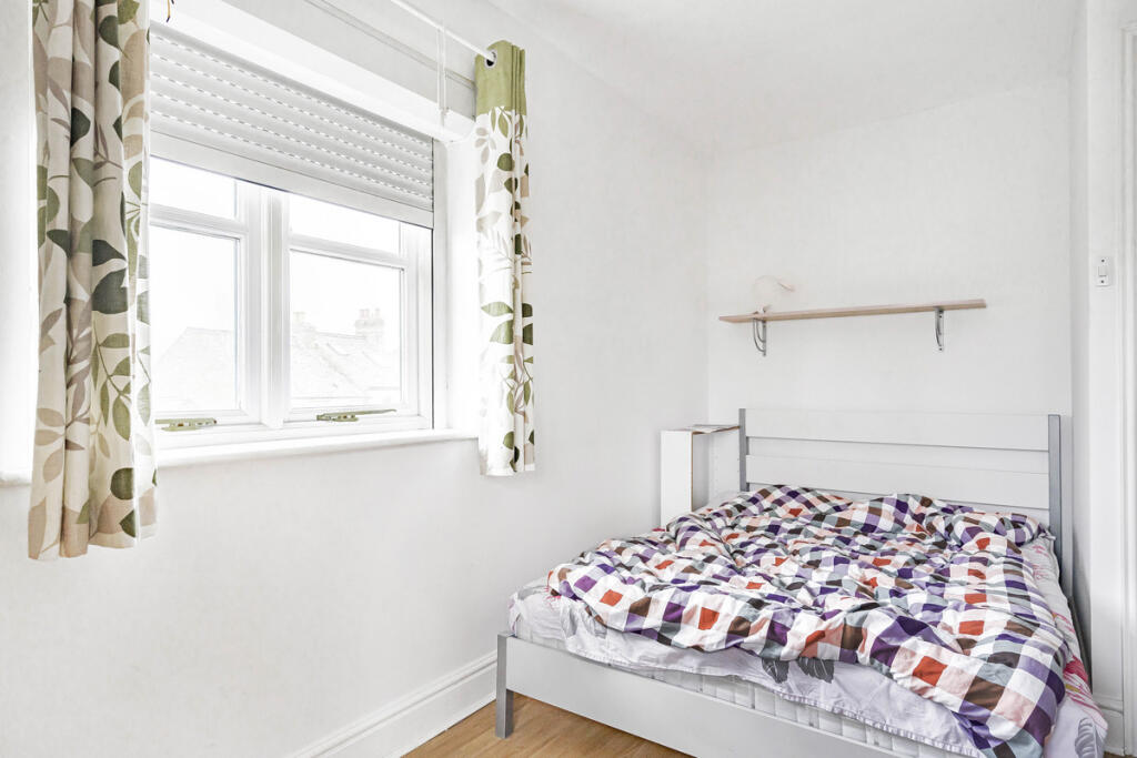
Images
Nearby Streets
| Name | Average Price | Average Sqft | Distance |
|---|---|---|---|
| Harberton Mead | £ 0 | 0 | 0.00 KM |
| Dudley Gardens | £ 0 | 0 | 0.00 KM |
| Crotch Crescent | £ 400,000 | 0 | 0.00 KM |
| Alan Bullock Close | £ 0 | 0 | 0.00 KM |
| Morrell Avenue | £ 0 | 0 | 0.00 KM |
Nearby Transport
| Name | NLC | TLC | Distance |
|---|---|---|---|
| Oxford | 3115 | OXF | 3.81 KM |
| Oxford Parkway | 3121 | OXP | 6.57 KM |
| Islip | 3110 | ISP | 7.43 KM |
| Radley | 3118 | RAD | 8.12 KM |
Nearby Listings
| Address | Price | Type | Score | Distance |
|---|---|---|---|---|
| Marston Road, Oxford | £ 550,000 | BUY | Unknown | 0.06 KM |
| Ferry Road, Marston | £ 545,000 | BUY | 5 / 10 | 0.08 KM |
| Marston Road, Marston, OX3 | £ 300,000 | BUY | 5 / 10 | 0.08 KM |
| Ferry Road, Oxford, OX3 | £ 550,000 | BUY | 5 / 10 | 0.13 KM |
| William Street, Marston, OX3 | £ 795,000 | BUY | 6 / 10 | 0.15 KM |
Nearby Properties
| Address | Price | Distance |
|---|---|---|
| 243 Marston Road | £ 185,000 | 0.07 KM |
| 22 Ferry Road | £ 500,000 | 0.13 KM |
| 19 Ferry Road | £ 335,500 | 0.13 KM |
| 24 Ferry Road | £ 520,000 | 0.13 KM |
| 9 Ferry Road | £ 465,000 | 0.13 KM |