HA
The Cherries, Slough
By haart
£ 1,500
haart says ..
All Bills Inclusive ( Including Council Tax), No Deposit Option available
- Bedrooms
- 1
- Bathrooms
- 1
The heatmap indicates the level of crime in the area. The color of the heatmap indicates the crime severity and recency.
Metrics Year-on-Year
- Average area value
- 266,250.00 £Decreased by 18.69 %
- Average area rental value
- 1,013.00 £/moIncreased by 3.58 %
- Est rental Yield
- 4.57 %Increased by 27.65 %
- Crime Rate
- 5.00 %Unchanged by 0.00 %
from 327,468.00 £
from 978.00 £/mo
from 3.58 %
from 5.00 %
Agent Activity
haart created the listing.
Nearby Schools
| Name | Type | Ofsted | Distance |
|---|---|---|---|
| Wexham Court Primary School | Community School | Good | 0.20 KM |
| Wexham School | Community School | Good | 0.54 KM |
| Wexham Road Children'S Centre | Children's Centre | 0.97 KM | |
| St Ethelbert'S Catholic Primary School | Academy Converter | Good | 1.02 KM |
| Lea Nursery School | Local Authority Nursery School | Outstanding | 1.10 KM |
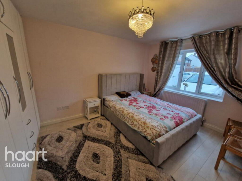
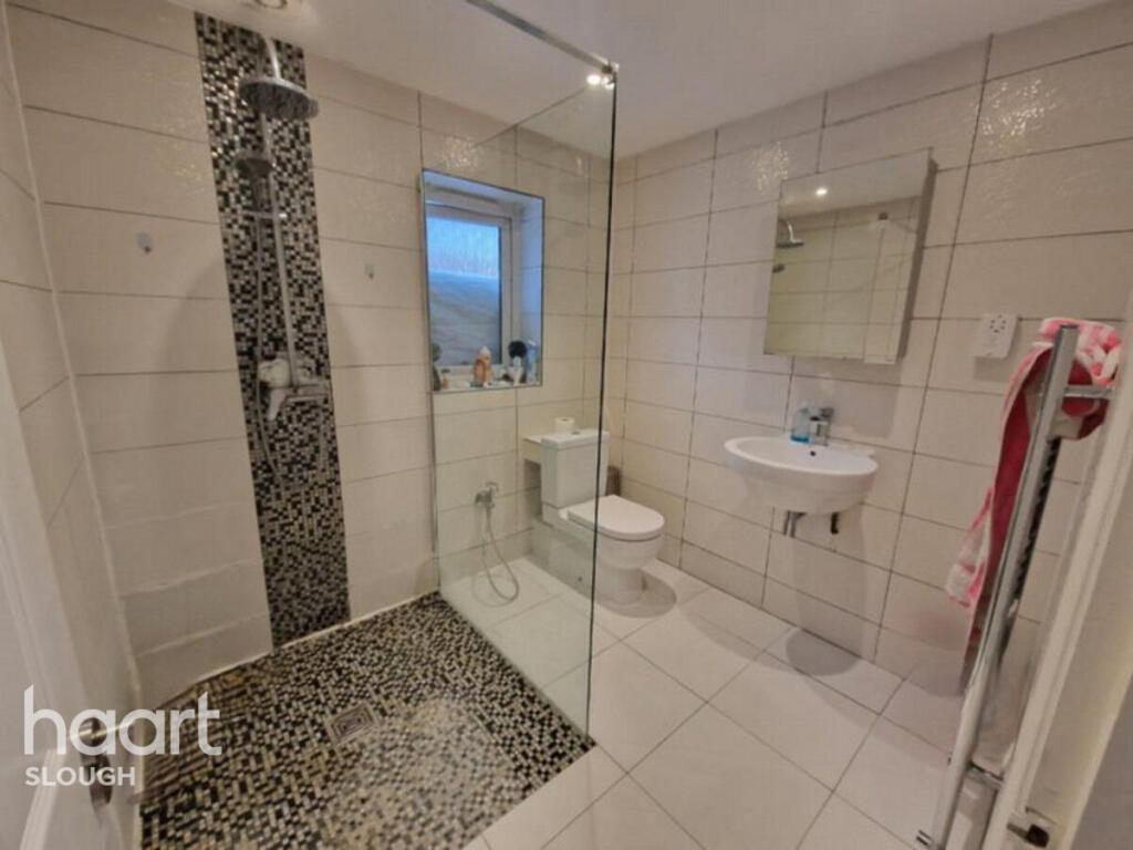
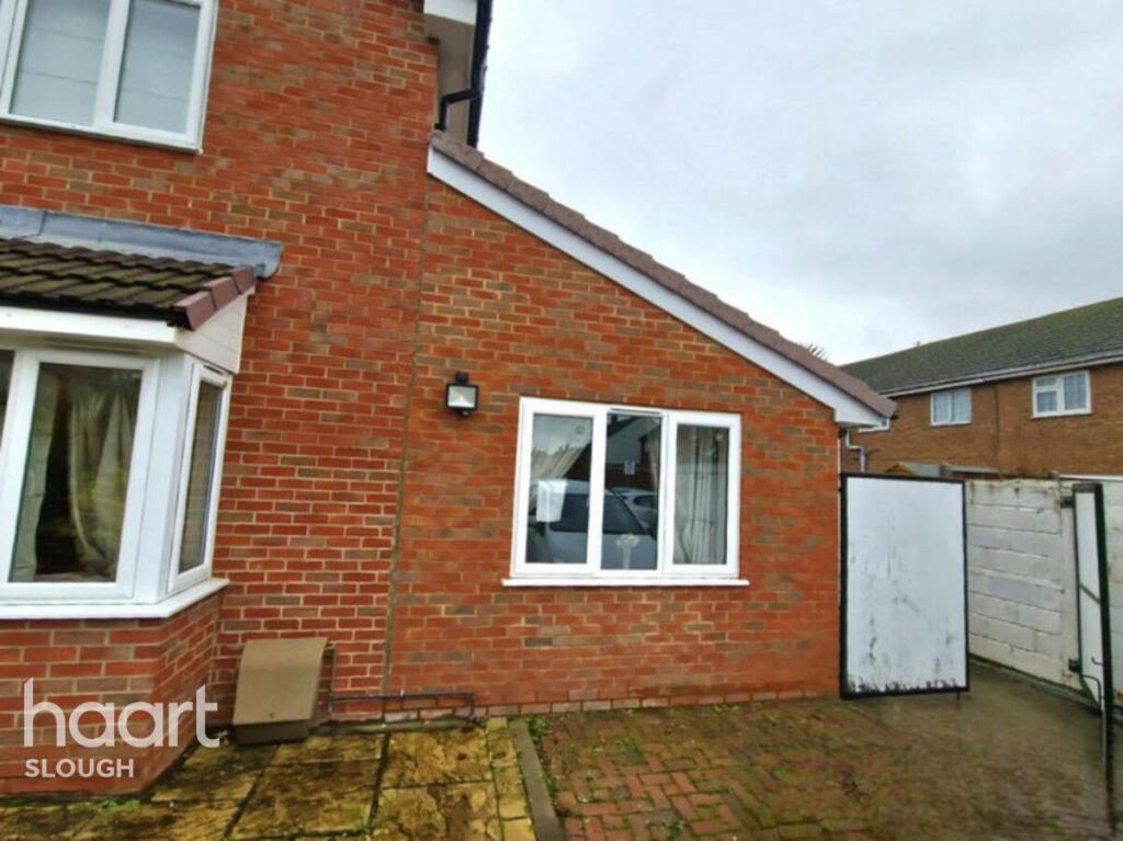
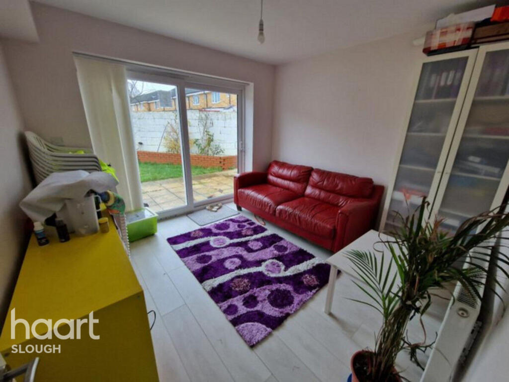
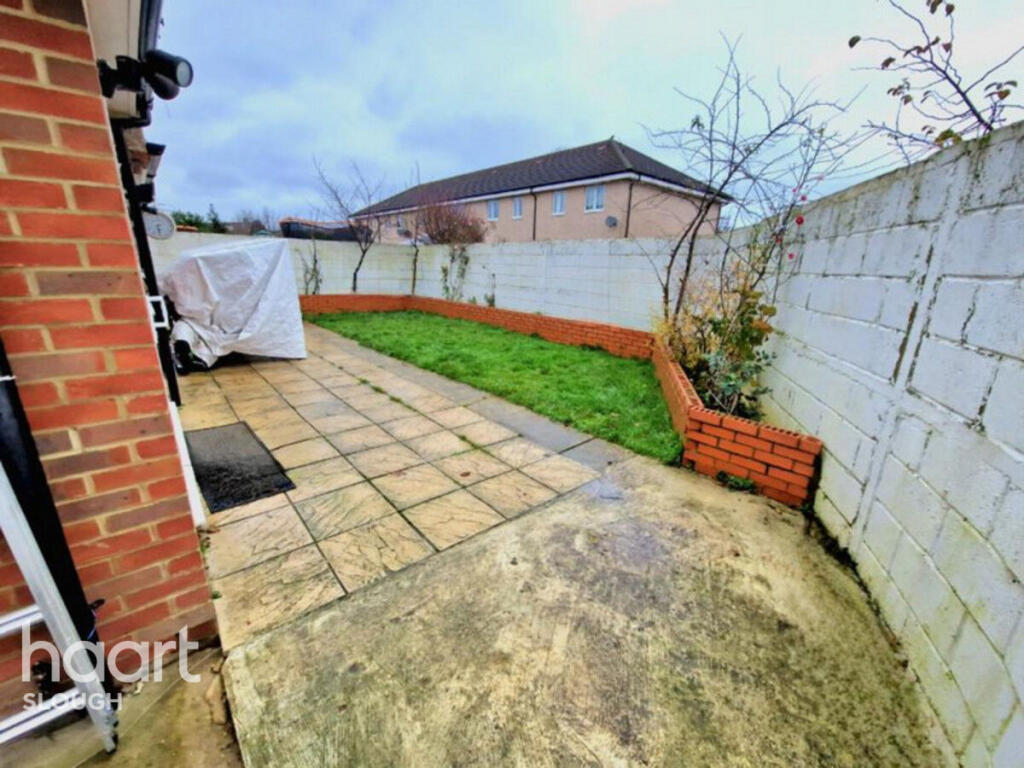
Images

Nearby Streets
| Name | Average Price | Average Sqft | Distance |
|---|---|---|---|
| Bell Close | £ 495,000 | 0 | 0.00 KM |
| Church Grove | £ 0 | 0 | 0.00 KM |
| Shared Bike Path | £ 0 | 0 | 0.00 KM |
| Victoria Road | £ 288,738 | 0 | 0.00 KM |
| Permissive Horse route | £ 0 | 0 | 0.00 KM |
Nearby Transport
| Name | NLC | TLC | Distance |
|---|---|---|---|
| Slough | 3172 | SLO | 2.37 KM |
| Langley | 3171 | LNY | 3.74 KM |
| Datchet | 5668 | DAT | 4.39 KM |
| Windsor And Eton Riverside | 5672 | WNR | 5.51 KM |
| Sunnymeads | 5675 | SNY | 5.93 KM |
Nearby Listings
| Address | Price | Type | Score | Distance |
|---|---|---|---|---|
| The Cherries, Slough | £ 1,500 | RENT | Unknown | 0.00 KM |
| Quinbrookes, Slough, SL2 | £ 2,100 | RENT | Unknown | 0.21 KM |
| Quinbrookes, Wexham | £ 2,100 | RENT | Unknown | 0.23 KM |
| Farm Crescent, Slough, SL2 | £ 2,300 | RENT | Unknown | 0.34 KM |
| Farm Crescent, Slough, SL2 | £ 2,300 | RENT | Unknown | 0.34 KM |
Nearby Properties
| Address | Price | Distance |
|---|---|---|
| 5 Fernleigh Row | £ 492,500 | 0.07 KM |
| 7 Fernleigh Row | £ 505,000 | 0.07 KM |
| 4 Fernleigh Row | £ 381,000 | 0.07 KM |
| 11 Fernleigh Row | £ 249,950 | 0.07 KM |
| 106 Knolton Way | £ 245,000 | 0.09 KM |