
EW
Barnard Avenue, Coal Aston, Dronfield, Derbyshire, S18
By EweMove
£ 290,000
Reviews
3 out of 5 stars
EweMove says ..
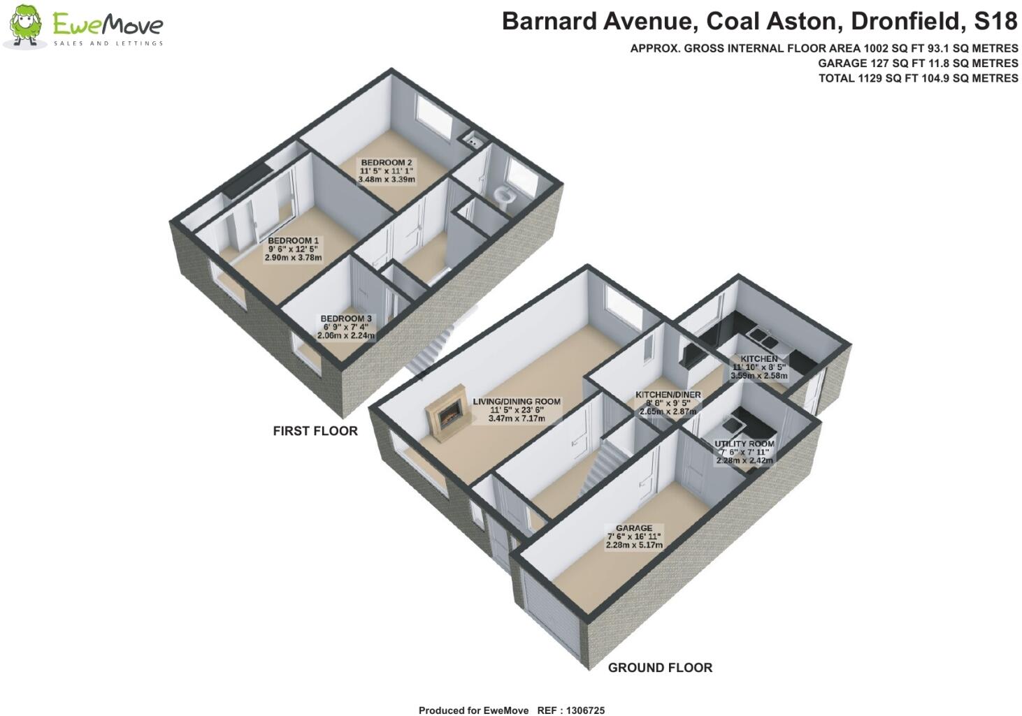
*VERY POPULAR LOCATION* *VACANT AND CHAIN FREE**DEMAND IS EXPECTED TO BE HIGH* *ATTACHED GARAGE* *DRIVEWAY PARKING * <...
Property Oracle says ..
Therefore, we give this property 6 / 10. *Disclaimer: This is our option and does constitute a recommendation or financial advice. Do your own research. *
- Price
- 7
- Condition
- 4
- Location
- 7
- Land
- 7
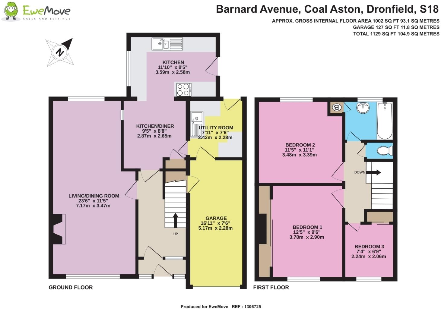
- Bedrooms
- 3
- Bathrooms
- 1
- Sqft (est)
- 929.89
The heatmap indicates the level of crime in the area. The color of the heatmap indicates the crime severity and recency.
Metrics Year-on-Year
- Average area value
- 448,325.00 £Decreased by 13.51 %
- Est sale value
- 479,823.24 £Increased by 0.98 %
- Average area rental value
- 1,480.00 £/moDecreased by 11.32 %
- Est letting value
- 929.89 £/moUnchanged by 0.00 %
- Est rental Yield
- 3.96 %Increased by 2.59 %
- Crime Rate
- 12.00 %Unchanged by 0.00 %
from 518,358.00 £
from 475,173.79 £
from 1,669.00 £/mo
from 929.89 £/mo
from 3.86 %
from 12.00 %
Agent Activity
EweMove created the listing.
Nearby Schools
| Name | Type | Ofsted | Distance |
|---|---|---|---|
| Northfield Junior School | Community School | Good | 0.67 KM |
| Dronfield Stonelow Junior School | Community School | Good | 1.38 KM |
| Holmesdale Infant School | Community School | Outstanding | 1.41 KM |
| Lenthall Infant And Nursery School | Community School | Good | 1.92 KM |
| Dronfield Henry Fanshawe School | Voluntary Controlled School | Outstanding | 2.08 KM |
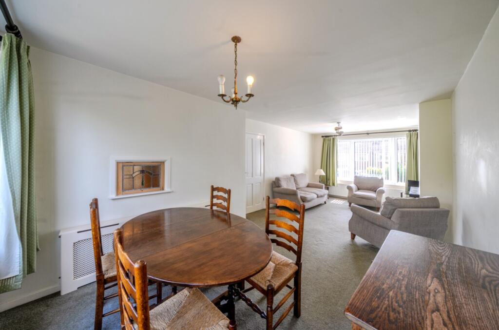
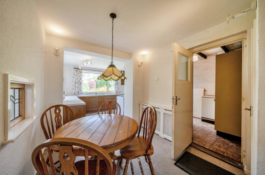
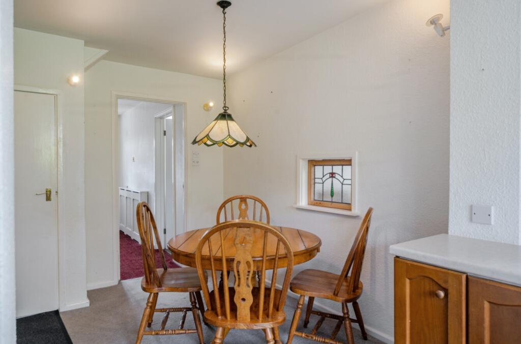
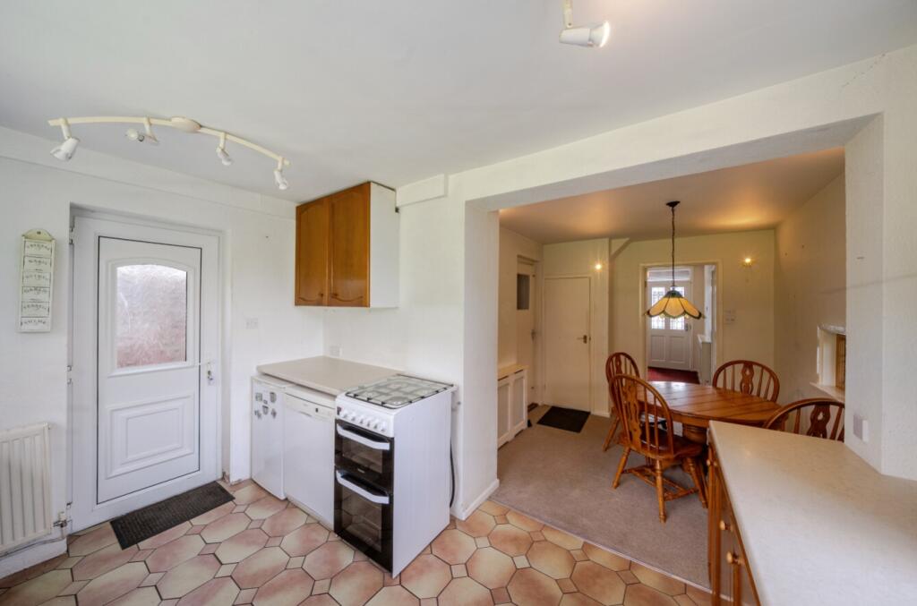
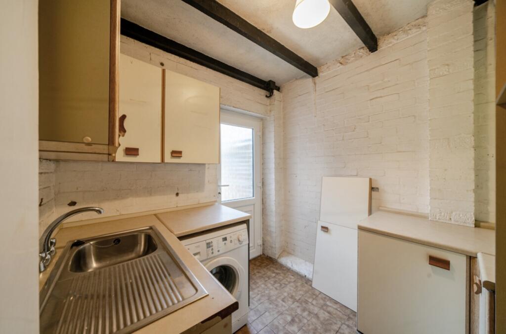
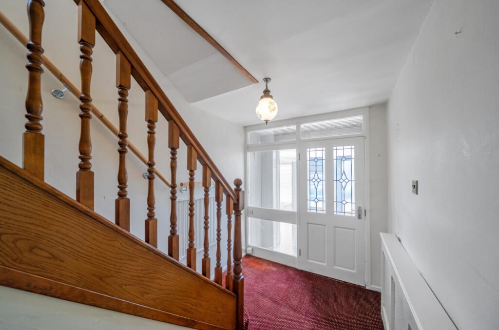
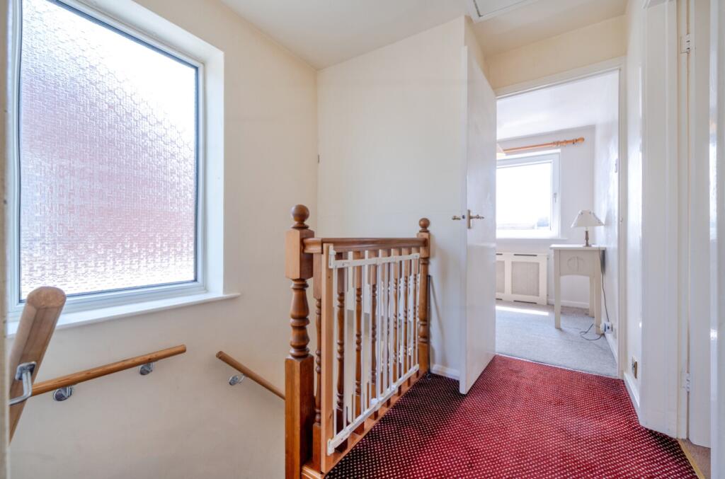
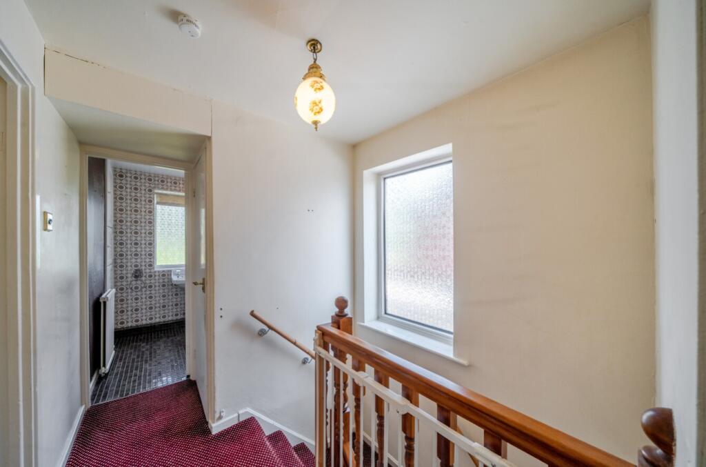
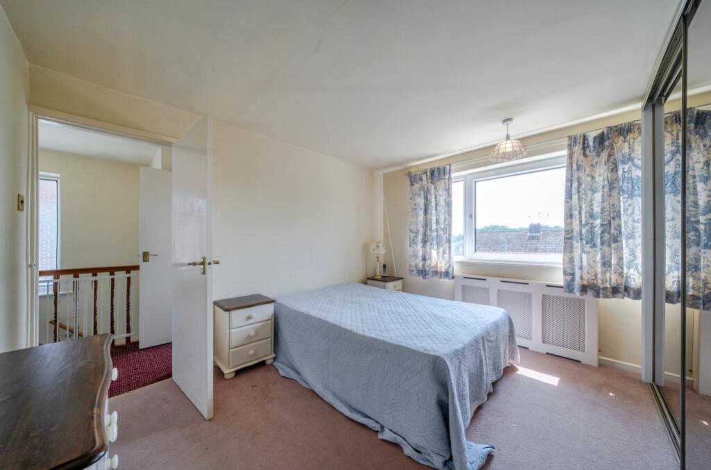
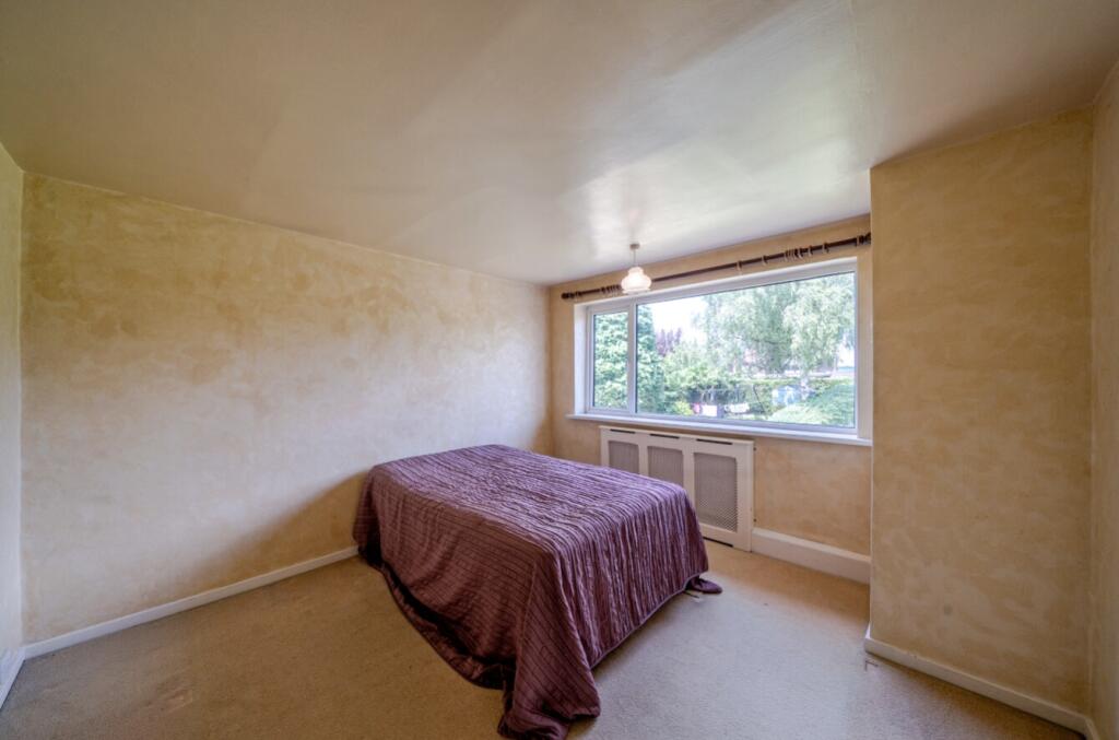
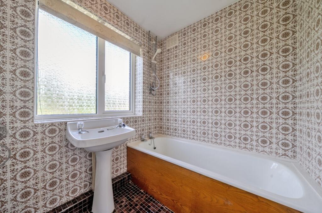
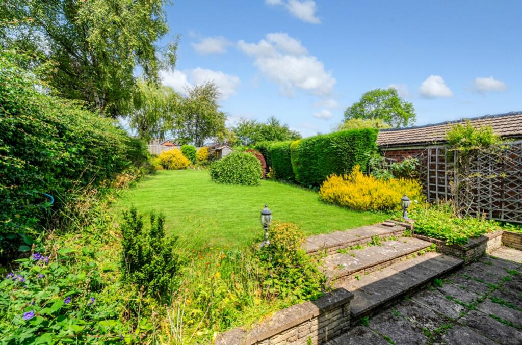
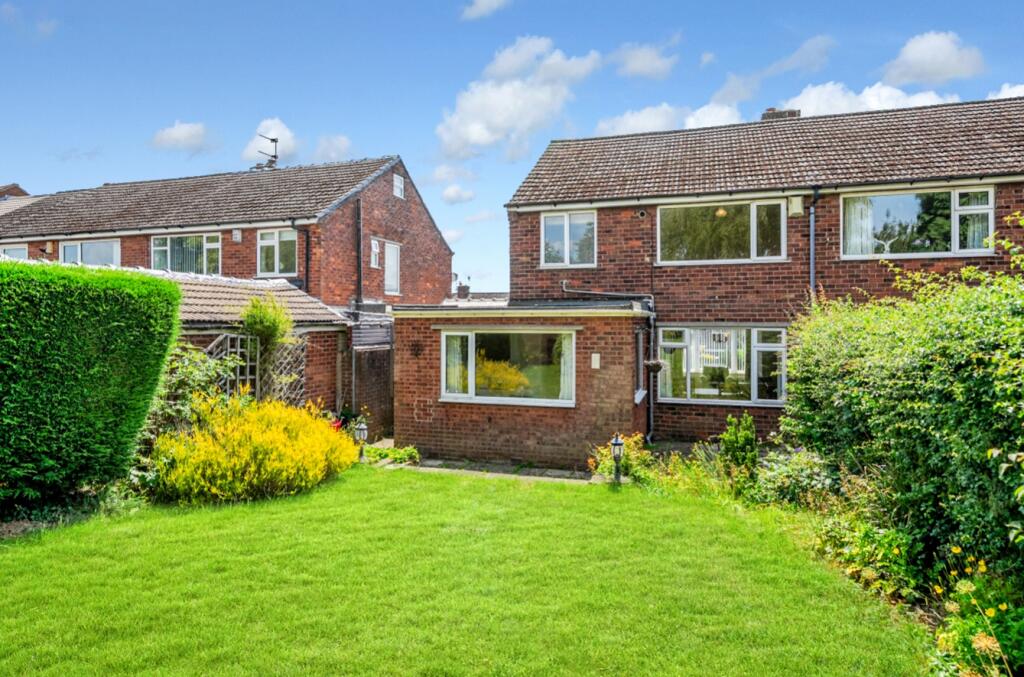
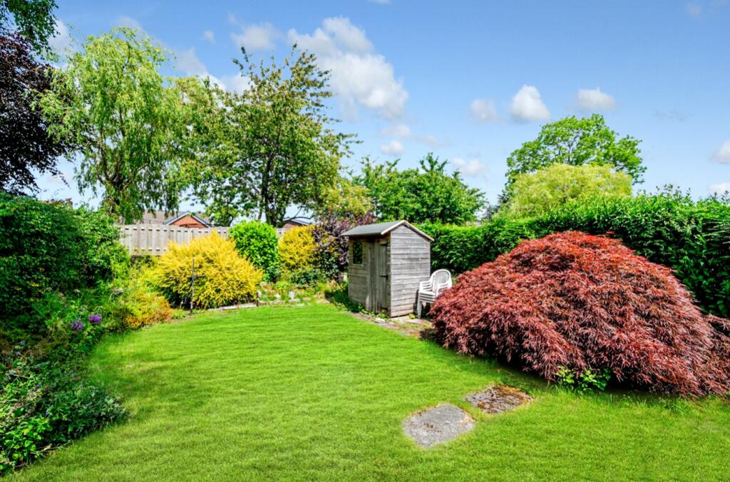
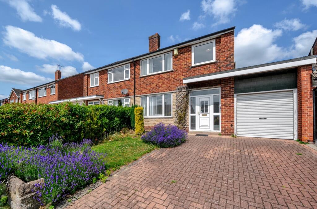
Images


Nearby Streets
| Name | Average Price | Average Sqft | Distance |
|---|---|---|---|
| Meadow Close | £ 300,000 | 0 | 0.00 KM |
| Firthwood Drive | £ 0 | 0 | 0.00 KM |
| Halfacre Lane | £ 0 | 0 | 0.00 KM |
| Ash Lane | £ 695,000 | 0 | 0.00 KM |
| Paddock Way | £ 0 | 0 | 0.00 KM |
Nearby Transport
| Name | NLC | TLC | Distance |
|---|---|---|---|
| Dronfield | 6616 | DRO | 2.33 KM |
| Dore And Totley | 6690 | DOR | 7.48 KM |
| Sheffield | 6691 | SHF | 7.65 KM |
| Chesterfield | 6615 | CHD | 8.70 KM |
| Darnall | 6729 | DAN | 9.21 KM |
Nearby Listings
| Address | Price | Type | Score | Distance |
|---|---|---|---|---|
| Barnard Avenue, Coal Aston, Dronfield, Derbyshire, S18 | £ 290,000 | BUY | 6 / 10 | 0.00 KM |
| Barnard Avenue, Coal Aston, Dronfield | £ 275,000 | BUY | 6 / 10 | 0.07 KM |
| Barnard Avenue, Coal Aston, Dronfield, S18 | £ 375,000 | BUY | Unknown | 0.09 KM |
| Ferndale Road, Coal Aston, Dronfield, S18 3BU | £ 350,000 | BUY | 6 / 10 | 0.12 KM |
| Firthwood Avenue, Coal Aston, Dronfield, Derbyshire, S18 | £ 220,000 | BUY | 7 / 10 | 0.15 KM |
Nearby Properties
| Address | Price | Distance |
|---|---|---|
| 35 Barnard Avenue | £ 220,000 | 0.00 KM |
| 56 Barnard Avenue | £ 230,500 | 0.00 KM |
| 58 Barnard Avenue | £ 212,000 | 0.00 KM |
| 35 Ferndale Road | £ 145,000 | 0.10 KM |
| 40 Ferndale Road | £ 220,000 | 0.10 KM |