
HA
Stoney Common, Stansted
By haart
£ 1,500
haart says ..
**NO DEPOSIT OPTION AVAILABLE**
- Bedrooms
- 3
- Bathrooms
- 1
The heatmap indicates the level of crime in the area. The color of the heatmap indicates the crime severity and recency.
Metrics Year-on-Year
- Average area value
- 1,011,250.00 £Increased by 103.91 %
- Average area rental value
- 1,214.00 £/moDecreased by 30.63 %
- Est rental Yield
- 1.44 %Decreased by 65.96 %
- Crime Rate
- 69.00 %Unchanged by 0.00 %
from 495,932.00 £
from 1,750.00 £/mo
from 4.23 %
from 69.00 %
Agent Activity
haart created the listing.
Nearby Schools
| Name | Type | Ofsted | Distance |
|---|---|---|---|
| St Mary'S Cofe Foundation Primary School | Foundation School | Requires improvement | 0.32 KM |
| Magna Carta Primary Academy | Free Schools | Good | 0.72 KM |
| Utt1 Spangles Fanmily Hub | Children's Centre | 0.94 KM | |
| Bentfield Primary School And Nursery | Community School | Good | 1.32 KM |
| Forest Hall School | Academy Sponsor Led | Requires improvement | 1.37 KM |
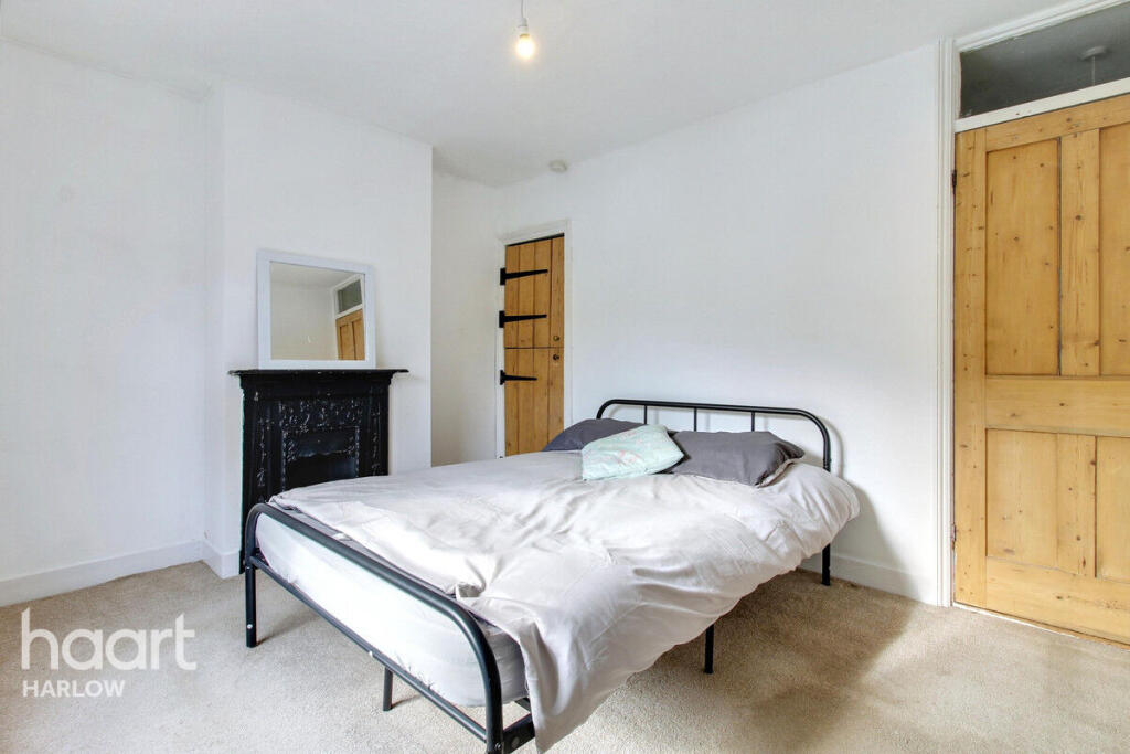
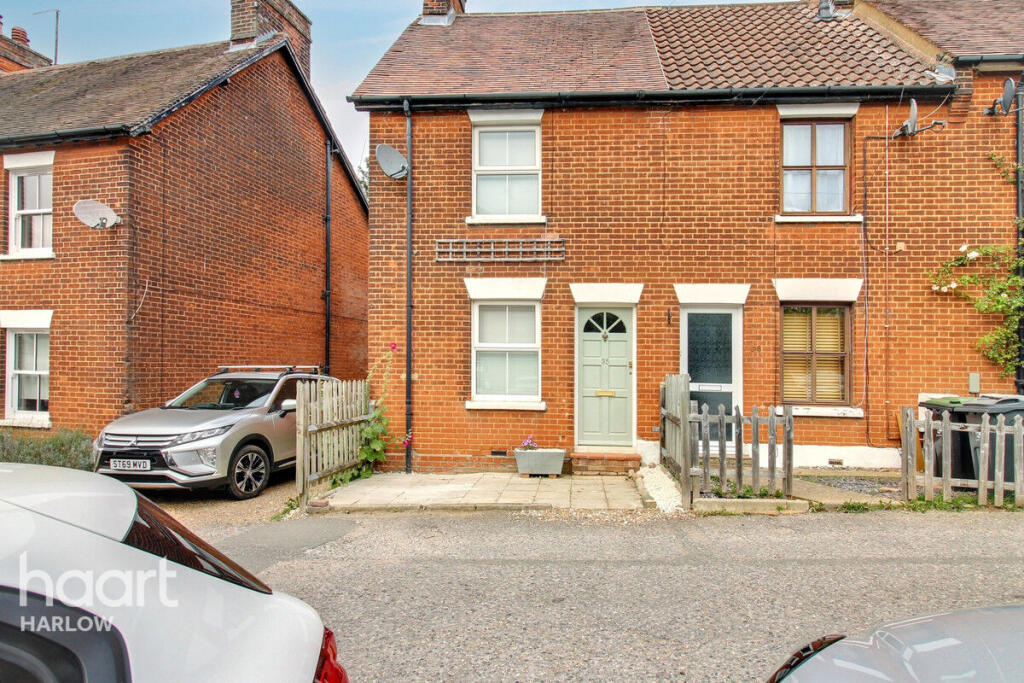
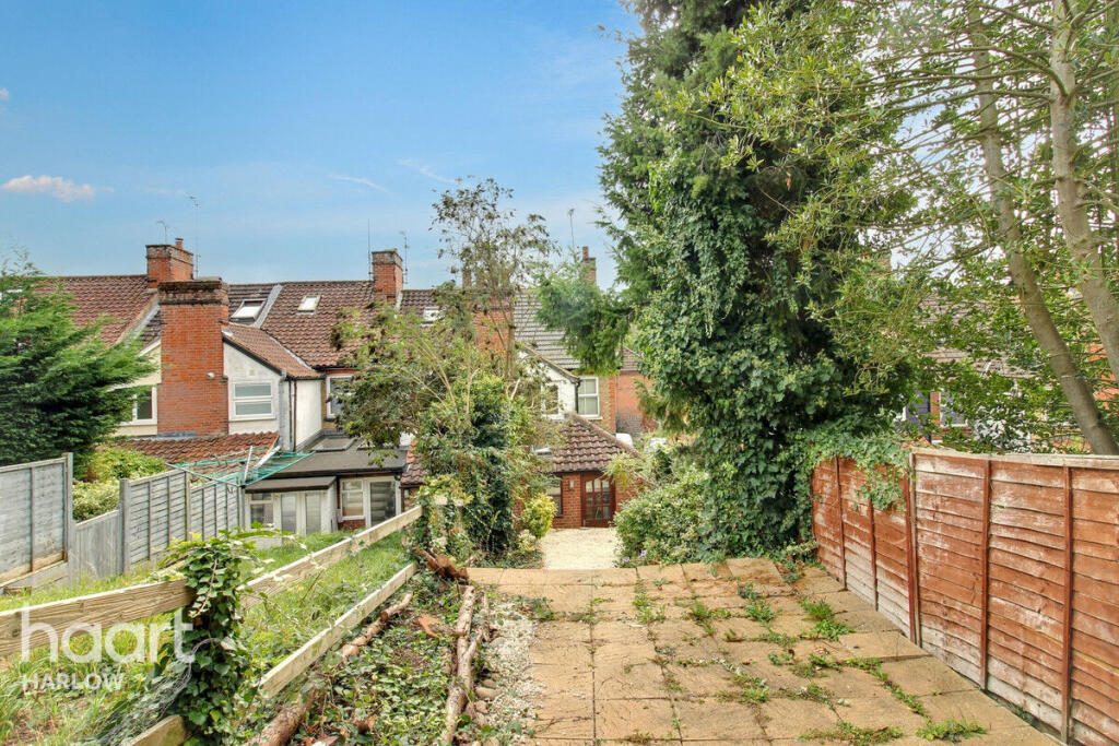
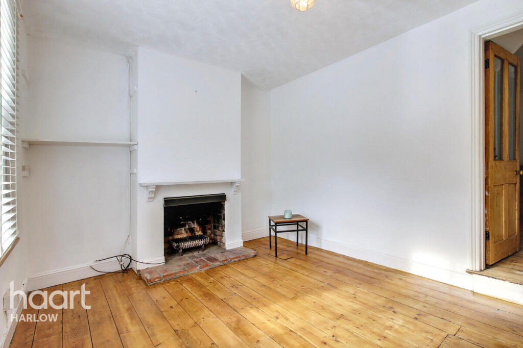
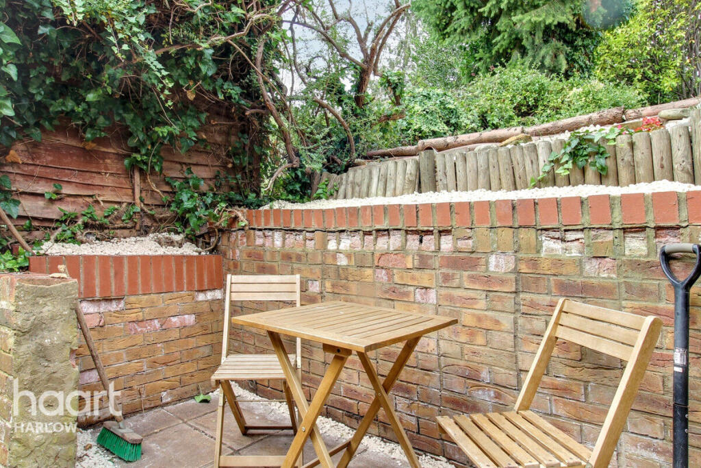
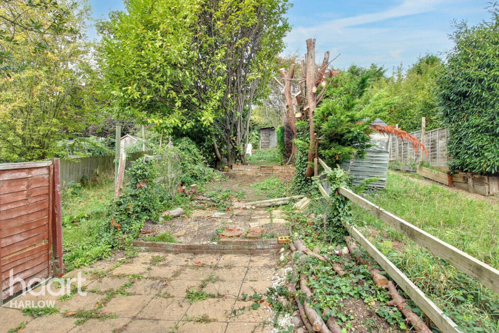
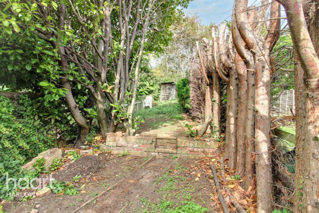
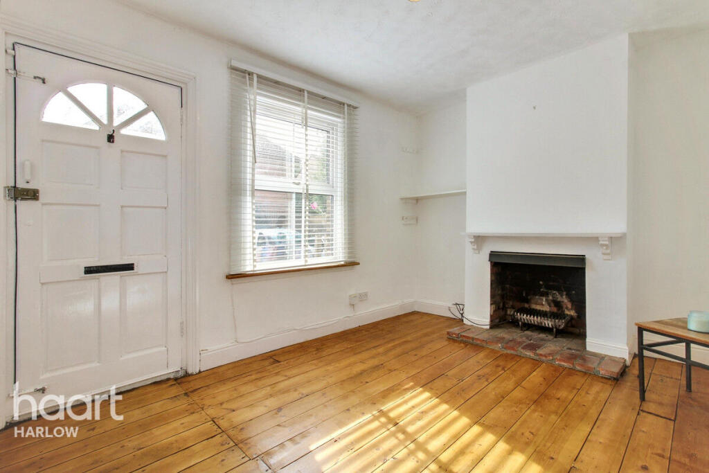
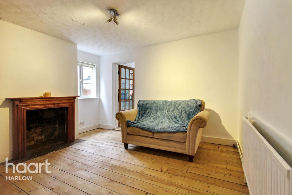
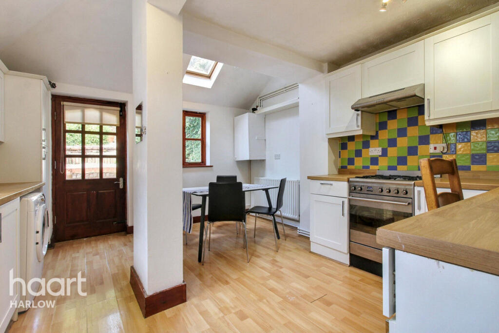
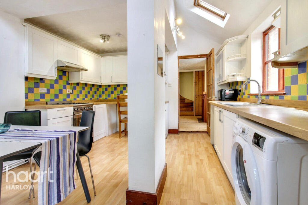
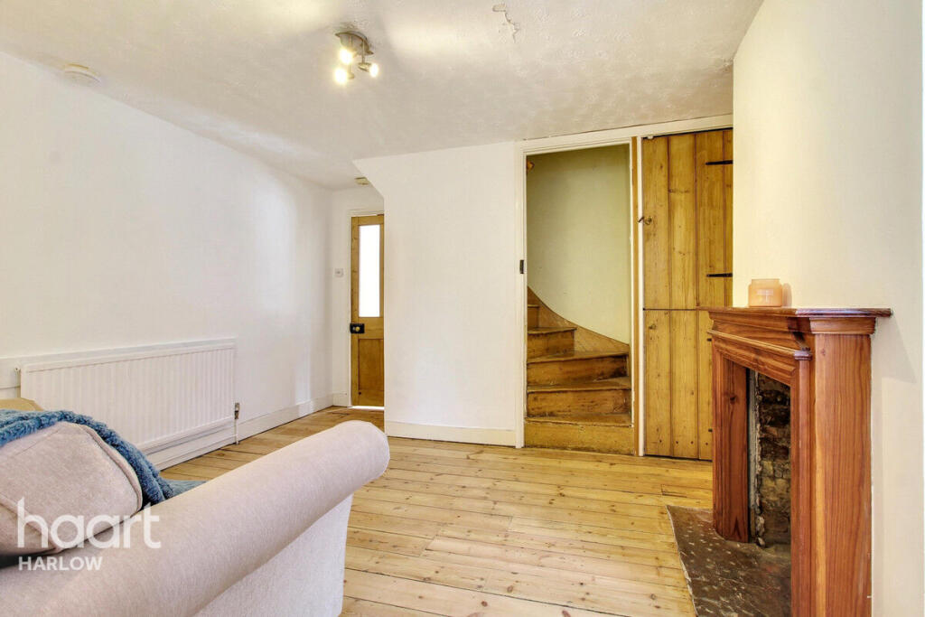
Images
Nearby Streets
| Name | Average Price | Average Sqft | Distance |
|---|---|---|---|
| Silver Street | £ 0 | 0 | 0.00 KM |
| Sanders Close | £ 675,000 | 0 | 0.00 KM |
| St Mary's Drive | £ 492,500 | 0 | 0.00 KM |
| The Rise | £ 0 | 0 | 0.00 KM |
| Church Road | £ 0 | 0 | 0.00 KM |
Nearby Transport
| Name | NLC | TLC | Distance |
|---|---|---|---|
| Stansted Mountfitchet | 6833 | SST | 0.62 KM |
| Elsenham (Essex) | 6832 | ESM | 4.40 KM |
| Bishops Stortford | 6800 | BIS | 4.84 KM |
| Stansted Airport | 6834 | SSD | 7.27 KM |
| Newport (Essex) | 7039 | NWE | 9.41 KM |
Nearby Listings
| Address | Price | Type | Score | Distance |
|---|---|---|---|---|
| Stoney Common, Stansted | £ 1,500 | RENT | Unknown | 0.00 KM |
| Stoney Common, Stansted, Essex, CM24 | £ 1,450 | RENT | Unknown | 0.05 KM |
| Stoney Common, Stansted, Essex, CM24 | £ 1,700 | RENT | Unknown | 0.05 KM |
| West Road, Stansted, Essex, CM24 | £ 1,500 | RENT | Unknown | 0.19 KM |
| Manor Road, Stansted, CM24 | £ 1,300 | RENT | Unknown | 0.37 KM |
Nearby Properties
| Address | Price | Distance |
|---|---|---|
| 38 Stoney Common | £ 340,000 | 0.05 KM |
| 53 Stoney Common | £ 320,000 | 0.05 KM |
| 51 Stoney Common | £ 205,000 | 0.05 KM |
| 47 Stoney Common | £ 281,000 | 0.05 KM |
| 44 Stoney Common | £ 110,000 | 0.05 KM |