A
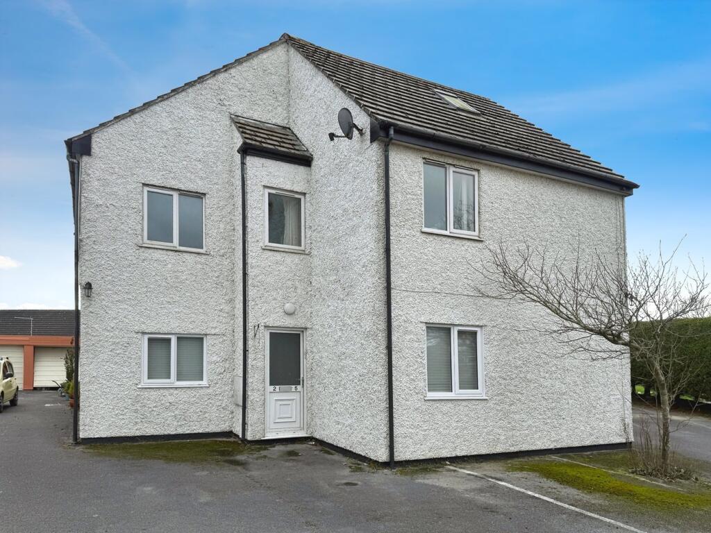
Hurn Lane, Berrow, TA8
By A & F
£ 750
A & F says ..
2 Bedroom Ground floor flat to rent with parking
- Bedrooms
- 2
- Bathrooms
- 1
The heatmap indicates the level of crime in the area. The color of the heatmap indicates the crime severity and recency.
Metrics Year-on-Year
- Average area value
- 206,045.00 £Increased by 4.02 %
- Average area rental value
- 803.00 £/moIncreased by 3.61 %
- Est rental Yield
- 4.68 %Decreased by 0.21 %
- Crime Rate
- 8.00 %Unchanged by 0.00 %
from 198,091.00 £
from 775.00 £/mo
from 4.69 %
from 8.00 %
Agent Activity
A & F created the listing.
Nearby Schools
| Name | Type | Ofsted | Distance |
|---|---|---|---|
| Berrow Church Of England Primary School | Voluntary Controlled School | Requires improvement | 1.52 KM |
| Burnham-On-Sea Building | Children's Centre Linked Site | 4.60 KM | |
| St Andrew'S Church Of England Voluntary Controlled Junior School | Voluntary Controlled School | Good | 4.62 KM |
| Burnham-On-Sea Community Infant School | Community School | Outstanding | 4.63 KM |
| The King Alfred School An Academy | Academy Sponsor Led | 6.15 KM |
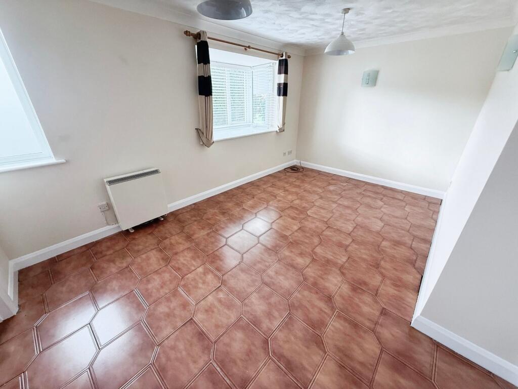
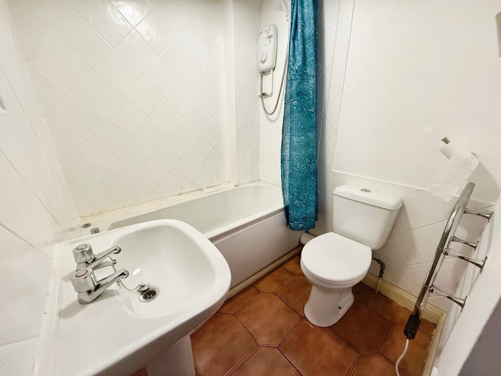
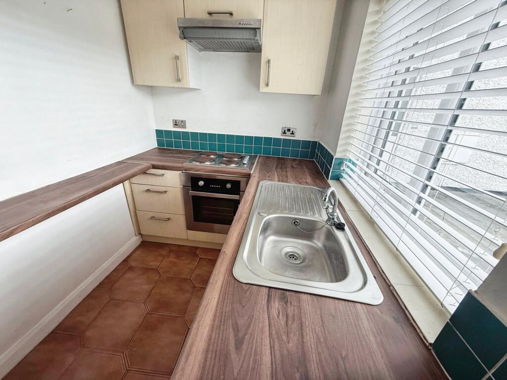
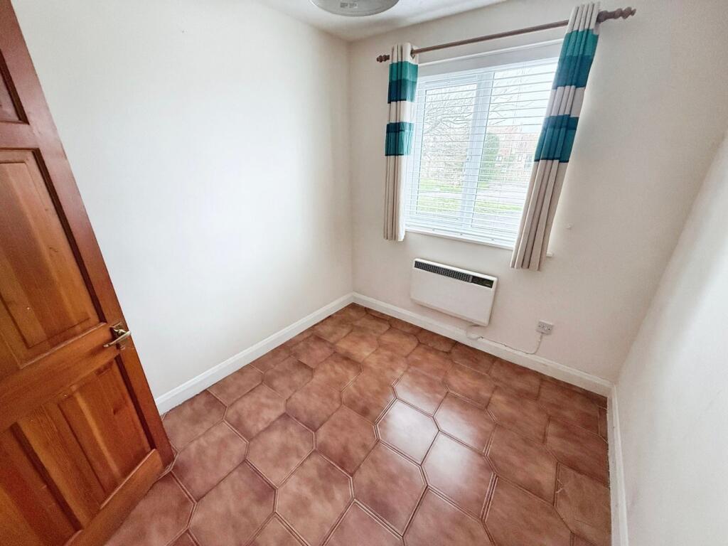
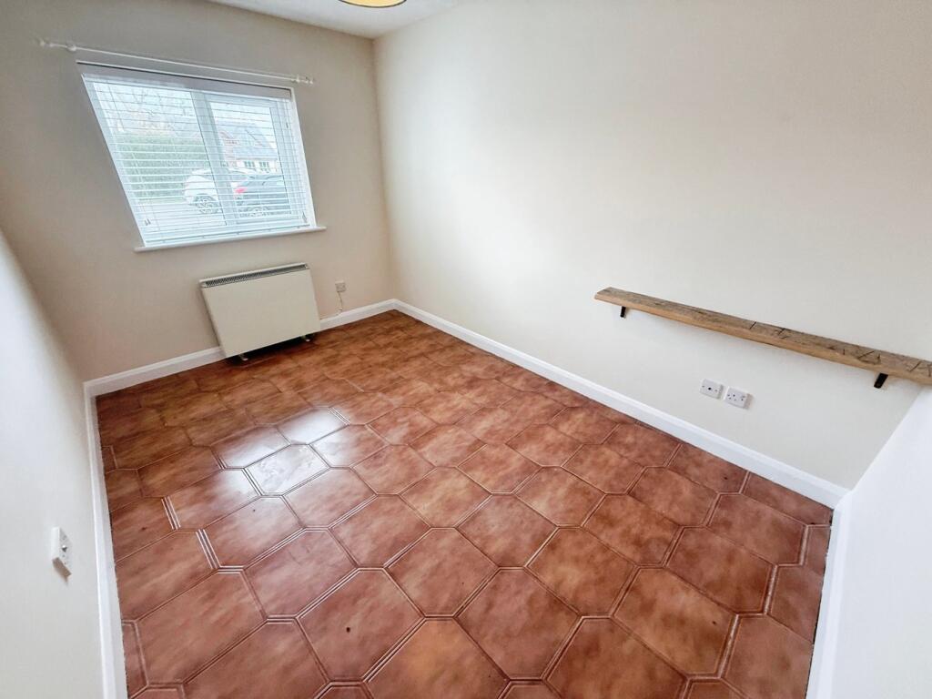
Images

Nearby Streets
| Name | Average Price | Average Sqft | Distance |
|---|---|---|---|
| North Lane | £ 0 | 0 | 0.00 KM |
| Campoline Drive | £ 370,000 | 0 | 0.00 KM |
Nearby Transport
| Name | NLC | TLC | Distance |
|---|---|---|---|
| Highbridge And Burnham | 3314 | HIG | 7.64 KM |
| Weston-Super-Mare | 3391 | WSM | 8.91 KM |
Nearby Listings
| Address | Price | Type | Score | Distance |
|---|---|---|---|---|
| Manor Way, Berrow, Burnham-on-Sea, TA8 | £ 1,800 | RENT | Unknown | 0.82 KM |
| Pinnocks Croft, Berrow, Burnham-On-Sea | £ 1,350 | RENT | Unknown | 1.05 KM |
| Berrow Road, Burnham-On-Sea | £ 825 | RENT | Unknown | 1.95 KM |
Nearby Properties
| Address | Price | Distance |
|---|---|---|
| Whitegates | £ 295,000 | 0.08 KM |
| Jesama | £ 415,000 | 0.08 KM |
| Haven Vale | £ 470,000 | 0.08 KM |
| Solis | £ 695,000 | 0.18 KM |
| Arrowbrook | £ 370,000 | 0.18 KM |