TO
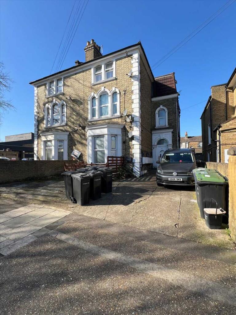
The Grove, Gravesend
By Tower Estates
£ 750
Tower Estates says ..
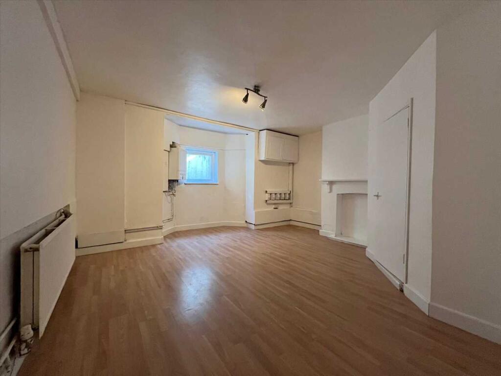
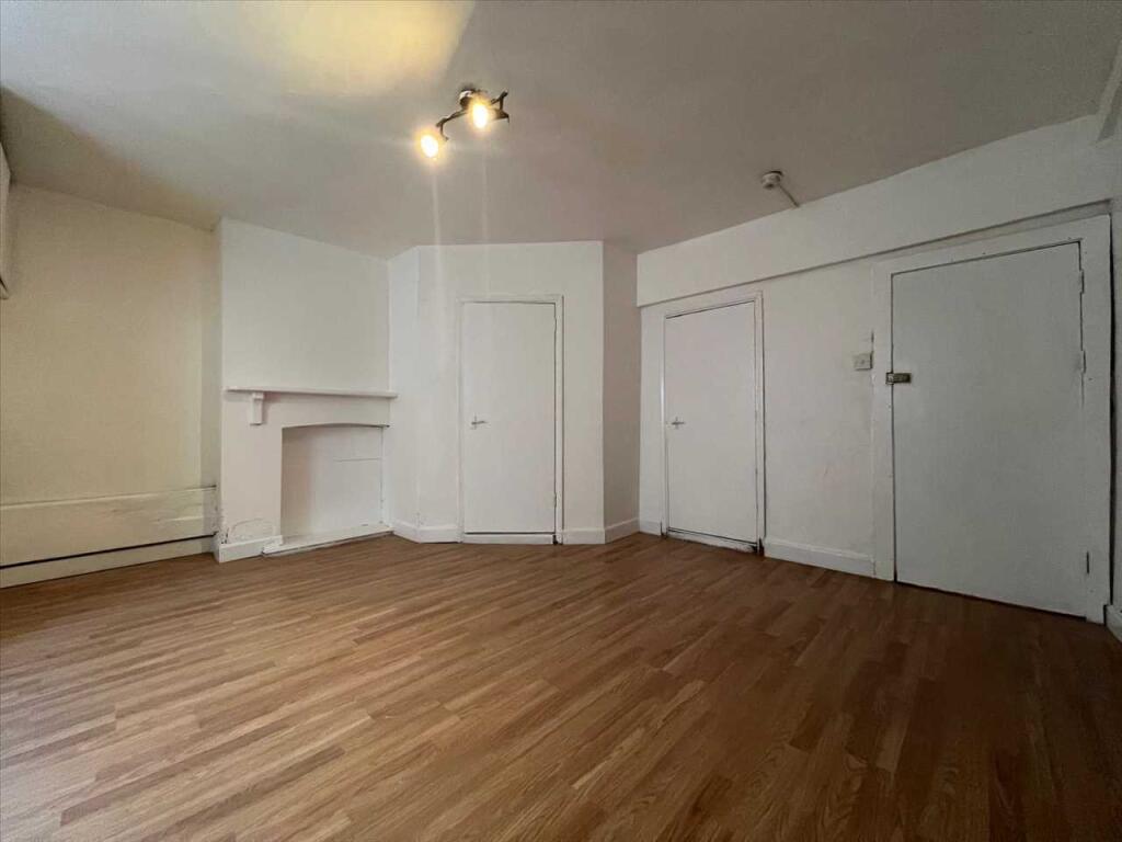
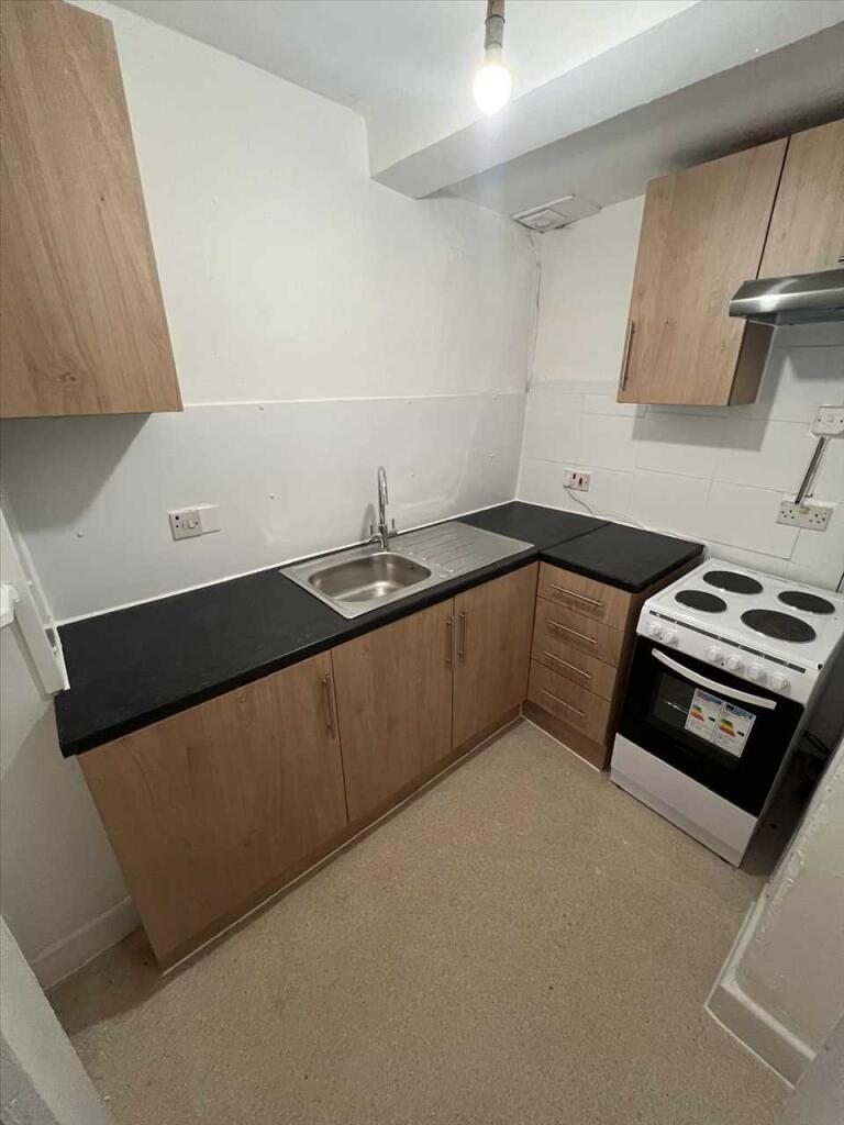
Rent: £750.00 Deposit: £865.38 Council tax band: A Studio flat Town centre location Available for viewings now
- Bedrooms
- 0
- Bathrooms
- 1
The heatmap indicates the level of crime in the area. The color of the heatmap indicates the crime severity and recency.
Metrics Year-on-Year
- Average area value
- 487,124.00 £Increased by 94.35 %
- Average area rental value
- 1,220.00 £/moIncreased by 6.46 %
- Est rental Yield
- 3.01 %Decreased by 45.17 %
- Crime Rate
- 14.00 %Unchanged by 0.00 %
from 250,641.00 £
from 1,146.00 £/mo
from 5.49 %
from 14.00 %
Agent Activity
Tower Estates created the listing.
Nearby Schools
| Name | Type | Ofsted | Distance |
|---|---|---|---|
| Pier View Academy | Other Independent Special School | Requires improvement | 0.29 KM |
| Holy Trinity Church Of England Primary School | Academy Converter | 0.36 KM | |
| Wrotham Road Primary School | Academy Converter | 0.61 KM | |
| Chantry Community Academy | Academy Sponsor Led | Good | 0.73 KM |
| Little Pebbles Children'S Centre | Children's Centre | 0.73 KM |
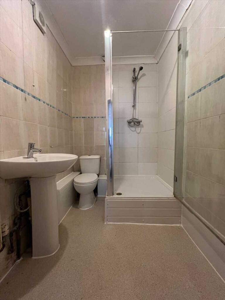
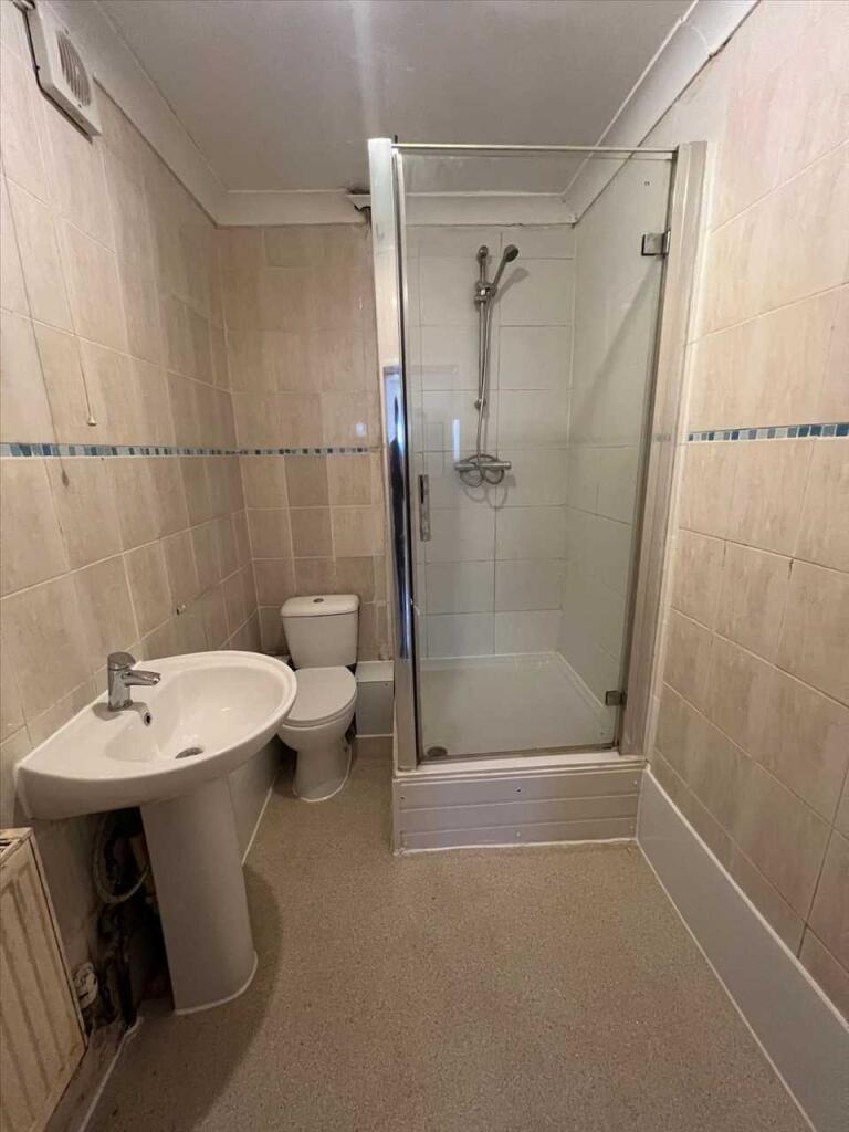
Images


Nearby Streets
| Name | Average Price | Average Sqft | Distance |
|---|---|---|---|
| Manor Road | £ 0 | 0 | 0.00 KM |
| Lord Street | £ 0 | 0 | 0.00 KM |
| South Street | £ 0 | 0 | 0.00 KM |
| West Crescent Road | £ 0 | 0 | 0.00 KM |
| Rathmore Road | £ 0 | 0 | 0.00 KM |
Nearby Transport
| Name | NLC | TLC | Distance |
|---|---|---|---|
| Gravesend | 5172 | GRV | 0.61 KM |
| Tilbury Town | 7462 | TIL | 3.20 KM |
| Northfleet | 5120 | NFL | 5.31 KM |
| Ebbsfleet International | 5566 | EBD | 5.65 KM |
| Meopham | 5116 | MEP | 6.17 KM |
Nearby Listings
| Address | Price | Type | Score | Distance |
|---|---|---|---|---|
| The Grove, Gravesend, DA12 | £ 1,250 | RENT | Unknown | 0.00 KM |
| The Grove, Gravesend, Kent, DA12 | £ 1,600 | RENT | Unknown | 0.00 KM |
| Edwin Street, Gravesend, Kent, DA12 | £ 1,300 | RENT | Unknown | 0.04 KM |
| Edwin Street, Gravesend, Kent, DA12 | £ 700 | RENT | Unknown | 0.06 KM |
| Edwin Street, Gravesend, Kent, DA12 | £ 950 | RENT | Unknown | 0.07 KM |
Nearby Properties
| Address | Price | Distance |
|---|---|---|
| 14b The Grove | £ 270,000 | 0.02 KM |
| 36 The Grove | £ 385,000 | 0.02 KM |
| 35 The Grove | £ 760,000 | 0.03 KM |
| 19 The Grove | £ 156,000 | 0.03 KM |
| 14a The Grove | £ 60,000 | 0.03 KM |