HA
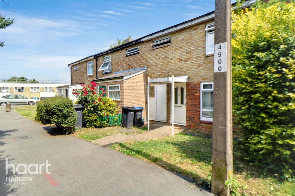
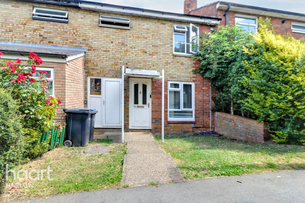
Hollyfield, Harlow
By haart
£ 1,600
haart says ..
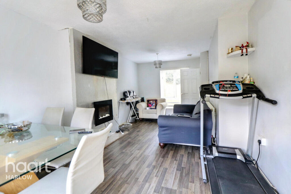
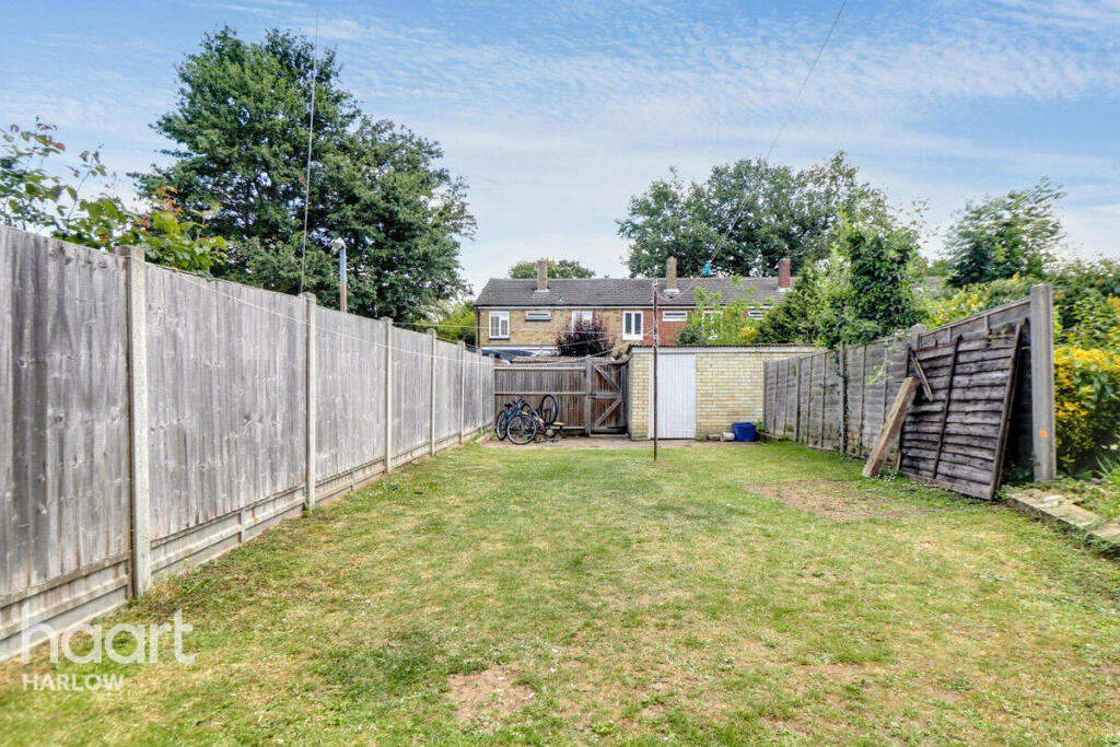
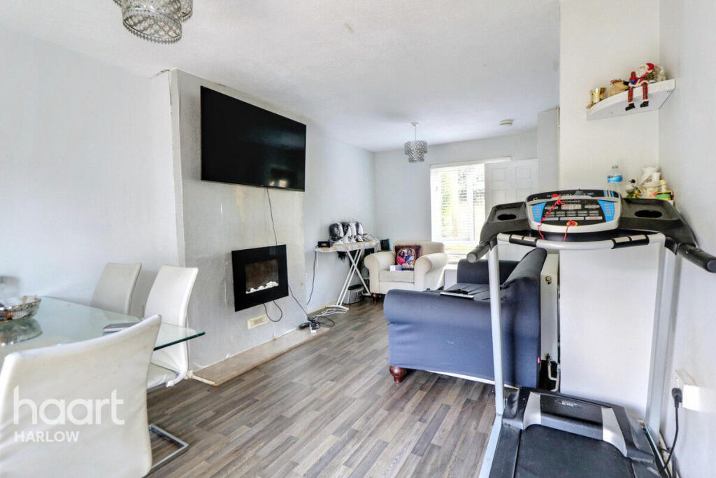
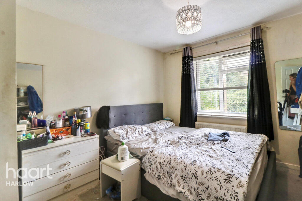
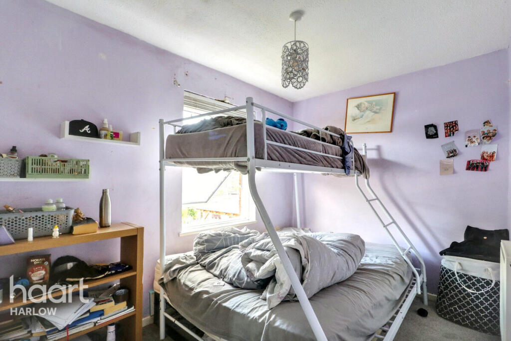
Unfurnished two bedroom mid terraced home situated within a popular residential area. The property is located within close proximity to local amenities
- Bedrooms
- 2
- Bathrooms
- 1
The heatmap indicates the level of crime in the area. The color of the heatmap indicates the crime severity and recency.
Metrics Year-on-Year
- Average area value
- 371,500.00 £Increased by 6.44 %
- Average area rental value
- 985.00 £/moDecreased by 5.74 %
- Est rental Yield
- 3.18 %Decreased by 11.42 %
- Crime Rate
- 6.00 %Unchanged by 0.00 %
from 349,009.00 £
from 1,045.00 £/mo
from 3.59 %
from 6.00 %
Agent Activity
haart created the listing.
Nearby Schools
| Name | Type | Ofsted | Distance |
|---|---|---|---|
| Jerounds Primary Academy | Academy Sponsor Led | 0.26 KM | |
| St Luke'S Catholic Academy | Academy Sponsor Led | Good | 0.34 KM |
| Kingsmoor Academy | Academy Sponsor Led | Good | 0.81 KM |
| Milwards Primary School And Nursery | Academy Sponsor Led | Requires improvement | 0.98 KM |
| Stewards Academy - Science Specialist, Harlow | Academy Converter | Good | 1.06 KM |
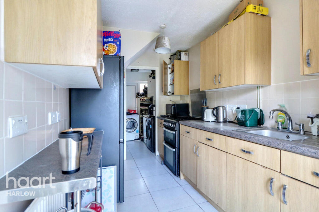
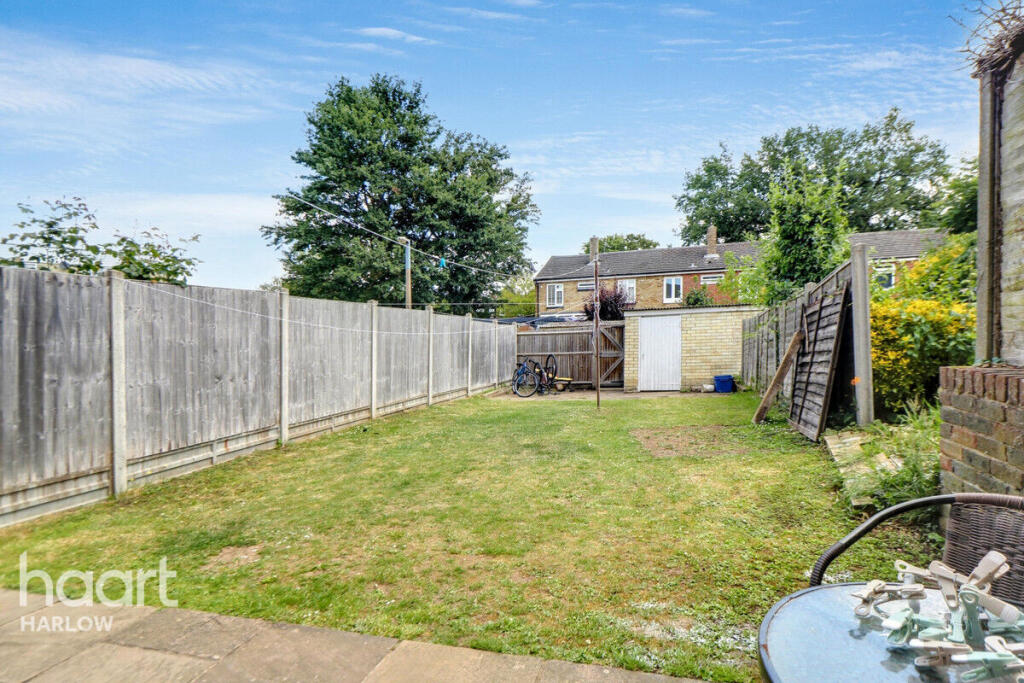
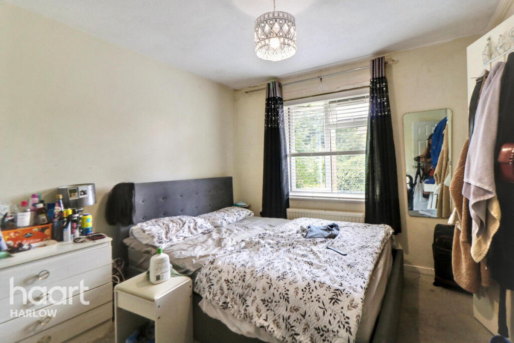
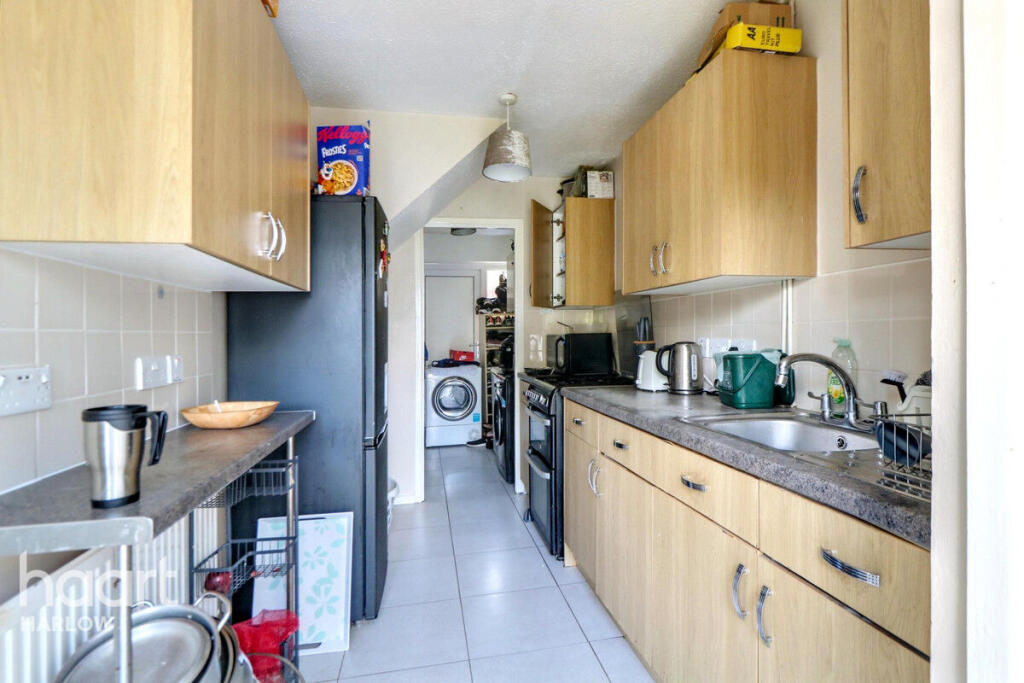
Images

Nearby Streets
| Name | Average Price | Average Sqft | Distance |
|---|---|---|---|
| Southern Way | £ 0 | 0 | 0.00 KM |
| Rectory Lane | £ 0 | 0 | 0.00 KM |
| Toddbrook | £ 0 | 0 | 0.00 KM |
| Penlow Road | £ 310,000 | 0 | 0.00 KM |
| Haydens Road | £ 130,000 | 0 | 0.00 KM |
Nearby Transport
| Name | NLC | TLC | Distance |
|---|---|---|---|
| Harlow Town | 6827 | HWN | 2.91 KM |
| Roydon | 6829 | RYN | 5.83 KM |
| Harlow Mill | 6804 | HWM | 6.39 KM |
| Rye House | 6820 | RYH | 8.94 KM |
| St Margarets (Herts) | 6821 | SMT | 9.93 KM |
Nearby Listings
| Address | Price | Type | Score | Distance |
|---|---|---|---|---|
| Hollyfield, Harlow | £ 1,600 | RENT | Unknown | 0.00 KM |
| Hollyfield | £ 1,300 | RENT | Unknown | 0.07 KM |
| Hollyfield, Harlow | £ 850 | RENT | Unknown | 0.12 KM |
| Hollyfield, HARLOW | £ 1,550 | RENT | Unknown | 0.15 KM |
| Gravel Pit Farm,Linford End,Harlow,CM19 | £ 1,150 | RENT | Unknown | 0.23 KM |
Nearby Properties
| Address | Price | Distance |
|---|---|---|
| 18 Hollyfield | £ 152,000 | 0.05 KM |
| 32 Hollyfield | £ 143,000 | 0.05 KM |
| 28 Hollyfield | £ 152,000 | 0.05 KM |
| 29 Hollyfield | £ 255,000 | 0.05 KM |
| 26 Hollyfield | £ 165,000 | 0.05 KM |