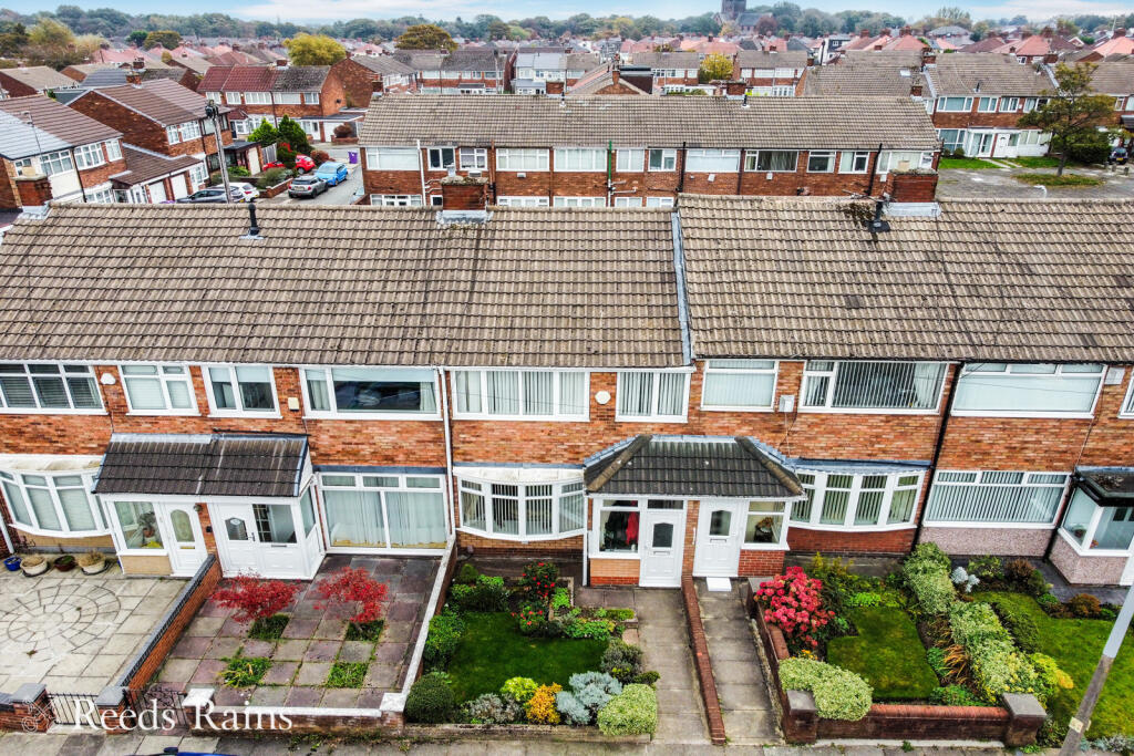
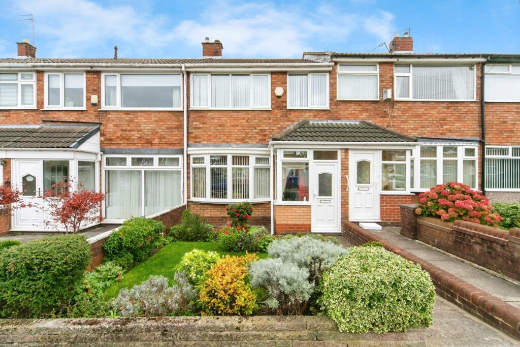
Keybank Road, Liverpool, Merseyside, L12
By Reeds Rains
£ 190,000
Reviews
3 out of 5 stars
Reeds Rains says ..
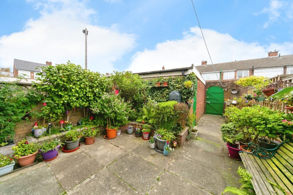
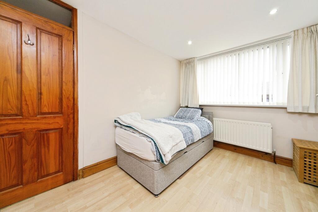
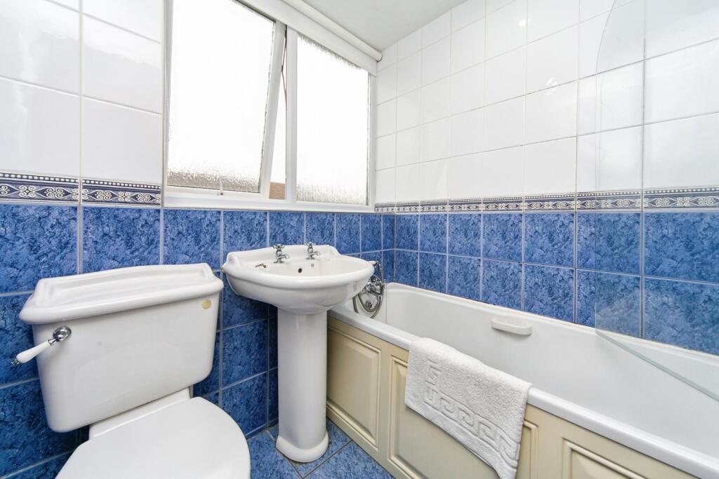
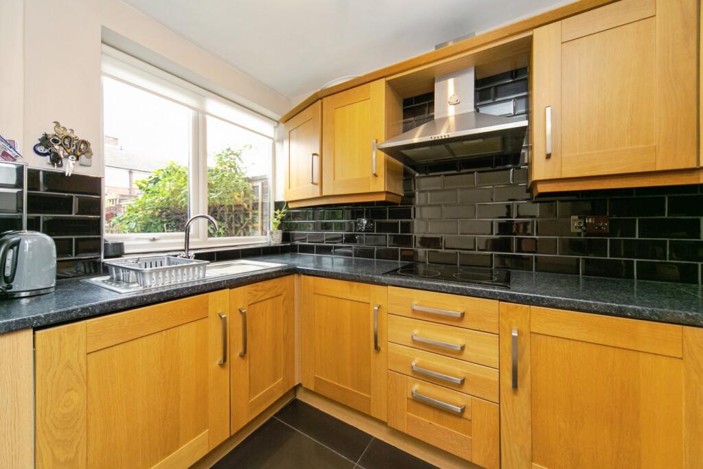
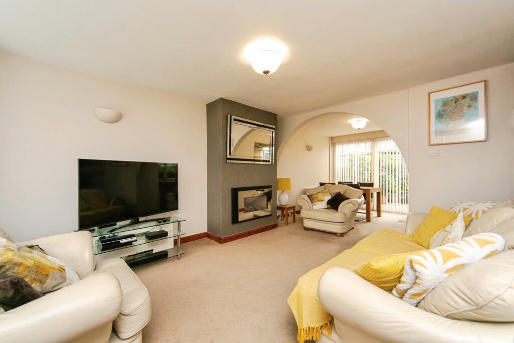
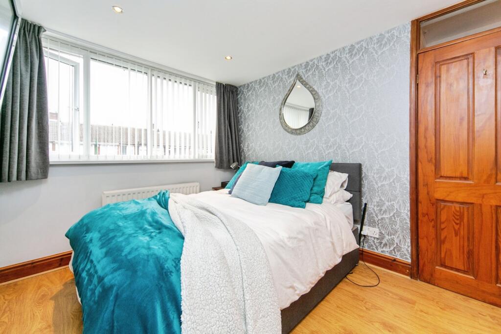
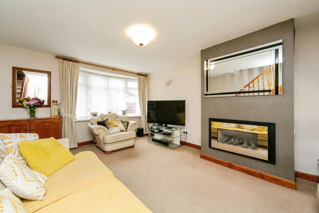
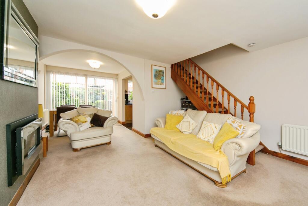
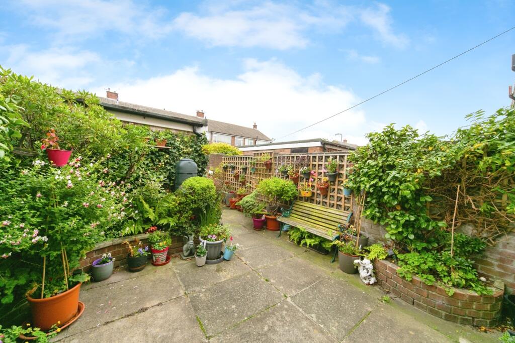
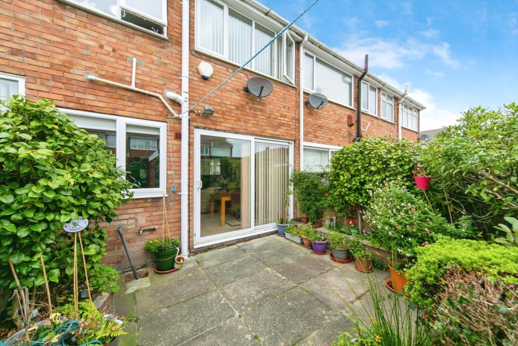
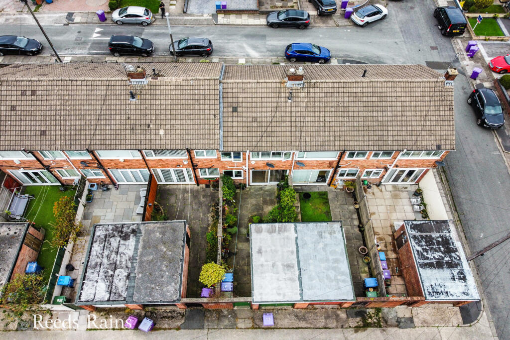
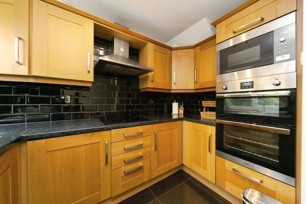
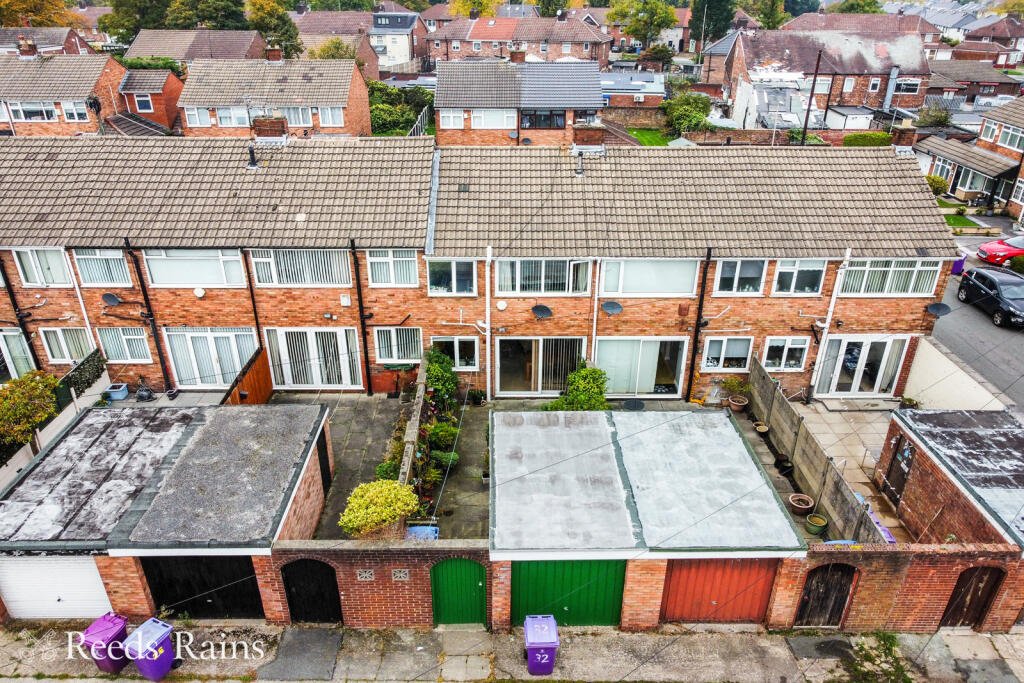
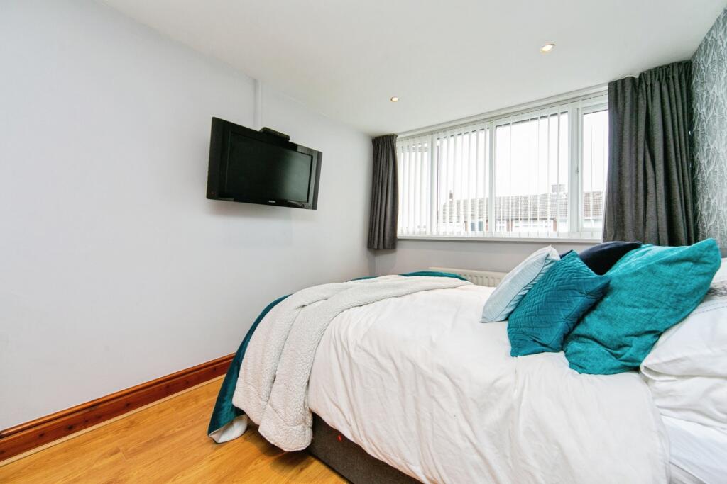
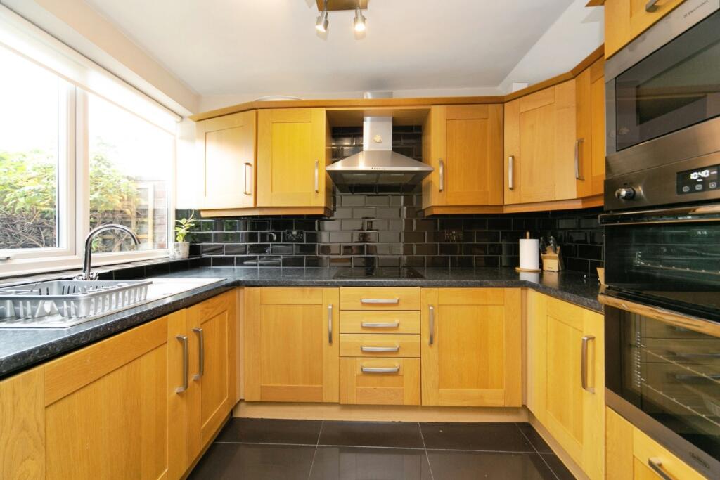
Well-Kept Three Bedroom Family Home - L12 Location This light, bright and spacious, mid-terraced home, is situated in the quiet close of Keybank Road, which has excellent local amenities, being just a 5 minute walk from West Derby Village. The property has a modern fitted k...
Property Oracle says ..
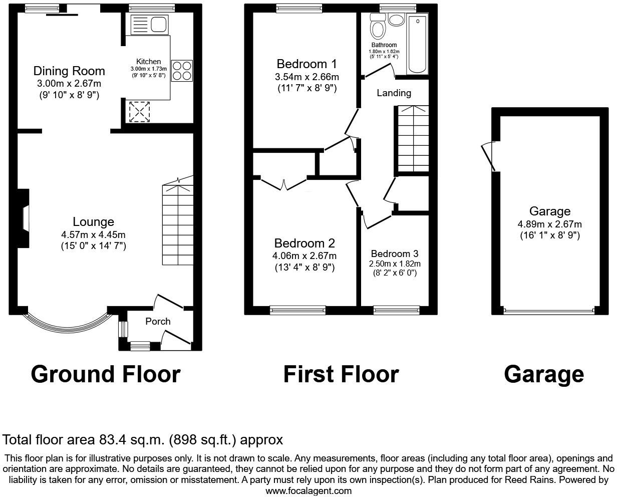
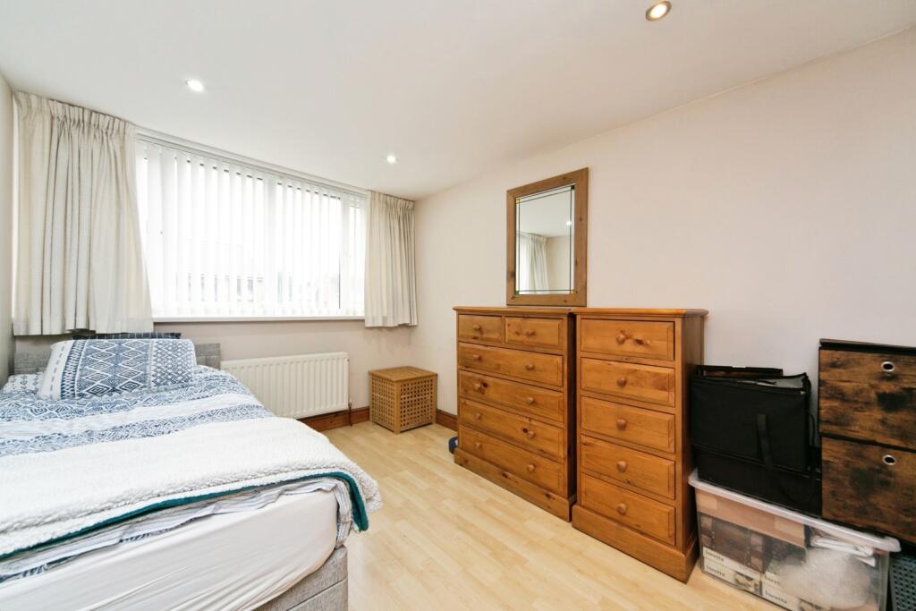
This is a three-bedroom terraced house located on Keybank Road, West Derby, Liverpool. The property is listed for £190,000 by Reeds Rains. It features one bathroom and has a square footage of 897.71 sqft. The property benefits from a rear garden. Nearby, there are several schools with ‘Good’ Ofsted ratings, including Monksdown Primary School and St Mary’s Church of England Primary School. Transportation links include several train stations within a few miles, such as Wavertree Technology Park and Broad Green. The property appears to be in generally good condition, with a modern kitchen. The price seems reasonable for the location and size of the property.
Therefore, we give this property 7 / 10. *Disclaimer: This is our option and does constitute a recommendation or financial advice. Do your own research. *
- Price
- 8
- Condition
- 7
- Location
- 7
- Land
- 6
- Bedrooms
- 3
- Bathrooms
- 1
- Sqft (est)
- 897.71
The heatmap indicates the level of crime in the area. The color of the heatmap indicates the crime severity and recency.
Metrics Year-on-Year
- Average area value
- 317,857.00 £Increased by 29.54 %
- Est sale value
- 258,540.48 £Increased by 29.15 %
- Average area rental value
- 933.00 £/moDecreased by 30.89 %
- Est letting value
- 0.00 £/moDecreased by 100.00 %
- Est rental Yield
- 3.52 %Decreased by 46.67 %
- Crime Rate
- 7.00 %Unchanged by 0.00 %
Agent Activity
Reeds Rains created the listing.
Nearby Schools
| Name | Type | Ofsted | Distance |
|---|---|---|---|
| Monksdown Primary School | Community School | Good | 0.53 KM |
| St Mary'S Church Of England Primary School, West Derby | Voluntary Aided School | Good | 0.62 KM |
| Broad Square Community Primary School | Community School | Good | 1.00 KM |
| Holly Lodge Girls' College | Community School | Good | 1.02 KM |
| Ellergreen Nursery School And Childcare Centre | Local Authority Nursery School | Outstanding | 1.06 KM |
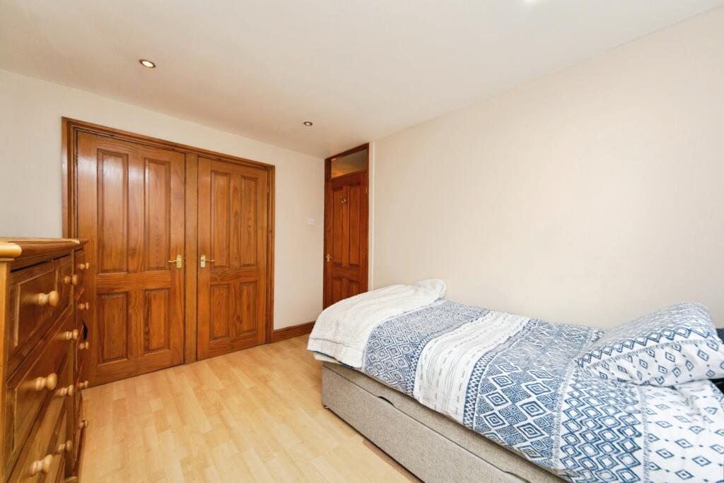
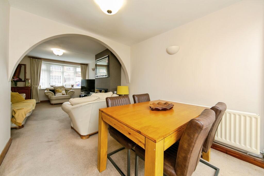
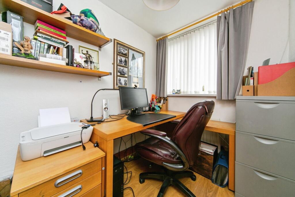
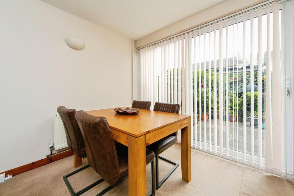
Images

Nearby Streets
| Name | Average Price | Average Sqft | Distance |
|---|---|---|---|
| Hayman's Close | £ 0 | 0 | 0.00 KM |
| Murry Close | £ 0 | 0 | 0.00 KM |
| Mill Lane | £ 430,000 | 0 | 0.00 KM |
| The Croft | £ 0 | 0 | 0.00 KM |
| Newton Close | £ 395,000 | 0 | 0.00 KM |
Nearby Transport
| Name | NLC | TLC | Distance |
|---|---|---|---|
| Wavertree Technology Park | 8589 | WAV | 3.61 KM |
| Broad Green | 2240 | BGE | 4.09 KM |
| Fazakerley | 2126 | FAZ | 4.35 KM |
| Edge Hill | 2169 | EDG | 5.16 KM |
| Kirkby (Merseyside) | 2124 | KIR | 5.66 KM |
Nearby Listings
| Address | Price | Type | Score | Distance |
|---|---|---|---|---|
| Keybank Road, Liverpool, Merseyside, L12 | £ 190,000 | BUY | 7 / 10 | 0.00 KM |
| Keybank Road, Liverpool, Merseyside, L12 | £ 270,000 | BUY | 6 / 10 | 0.02 KM |
| Keybank Road, Liverpool, Merseyside, L12 | £ 190,000 | BUY | 6 / 10 | 0.02 KM |
| Keybank Road, West Derby, Liverpool, Merseyside, L12 | £ 185,000 | BUY | 6 / 10 | 0.03 KM |
| Keybank Road, Liverpool, L12 | £ 250,000 | BUY | 6 / 10 | 0.04 KM |
Nearby Properties
| Address | Price | Distance |
|---|---|---|
| 8 Keybank Road | £ 126,000 | 0.04 KM |
| 32 Keybank Road | £ 120,000 | 0.04 KM |
| 5 Keybank Road | £ 125,000 | 0.04 KM |
| 37 Keybank Road | £ 125,000 | 0.04 KM |
| 33 Keybank Road | £ 175,000 | 0.04 KM |