FO
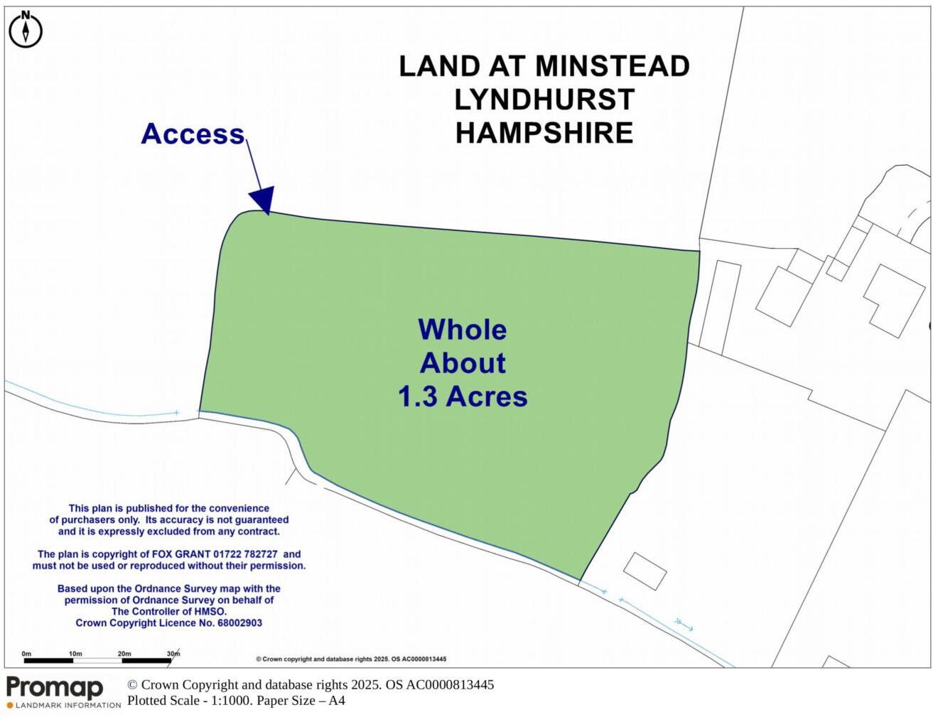
Minstead
By Fox Grant
£ 25,000
Fox Grant says ..
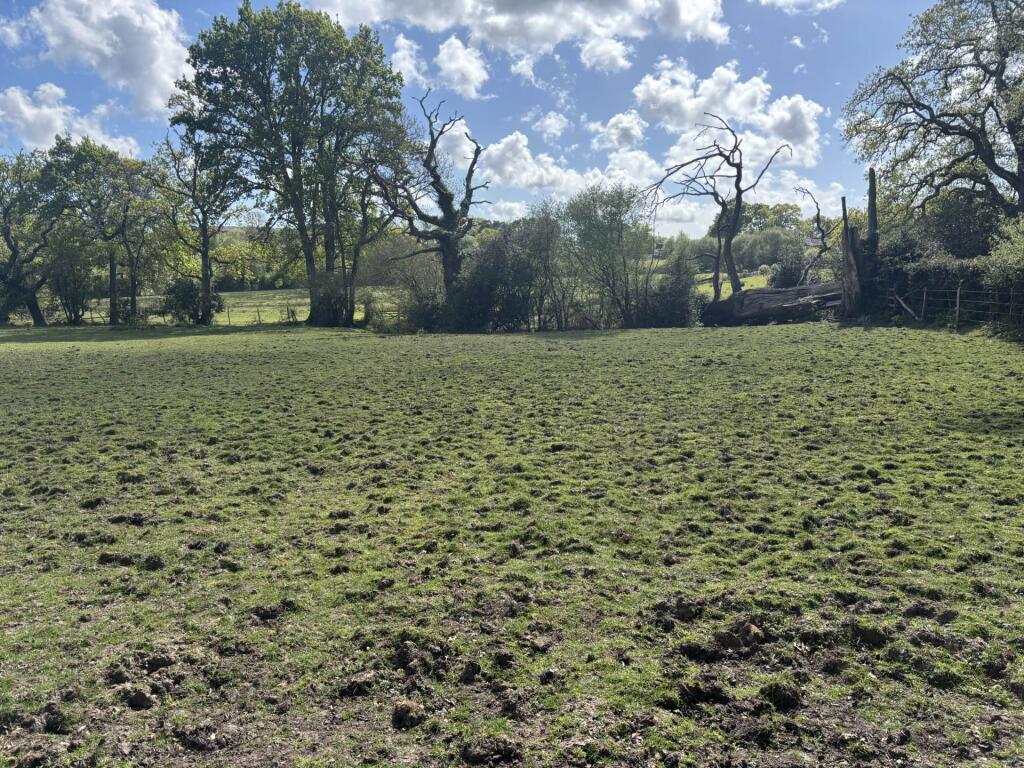
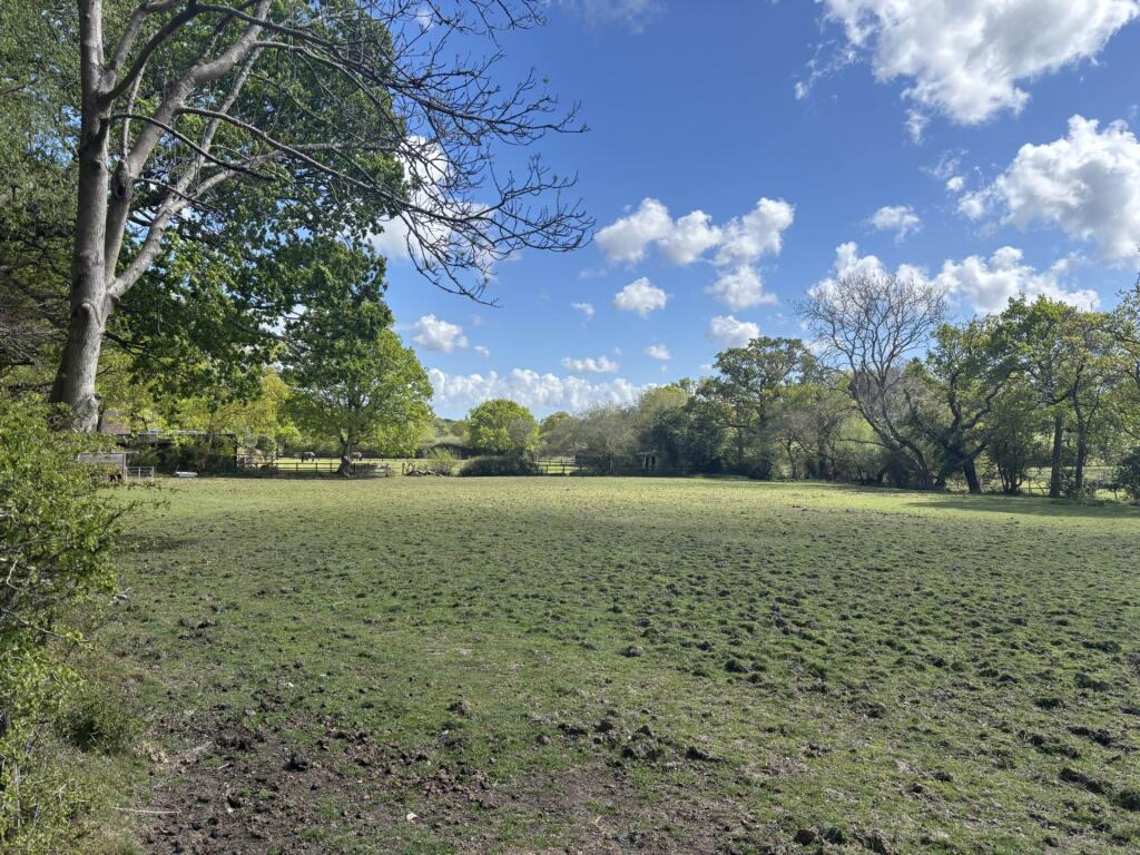
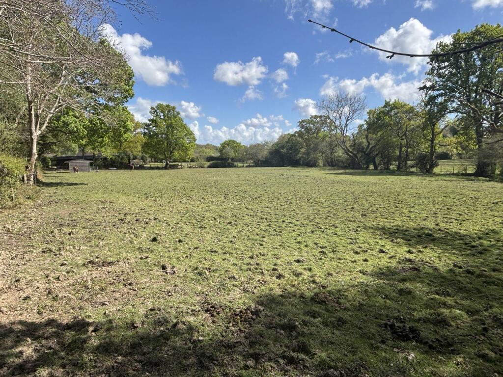
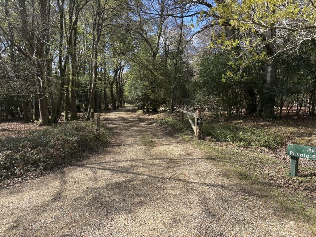
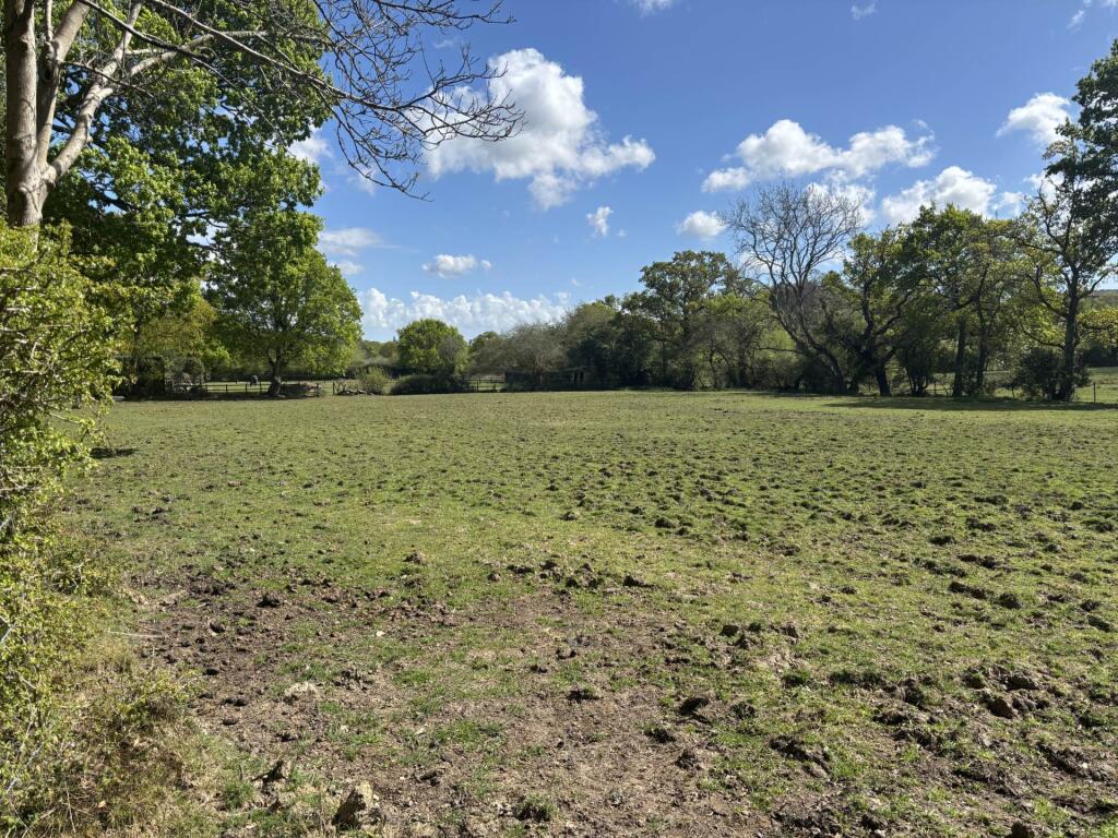
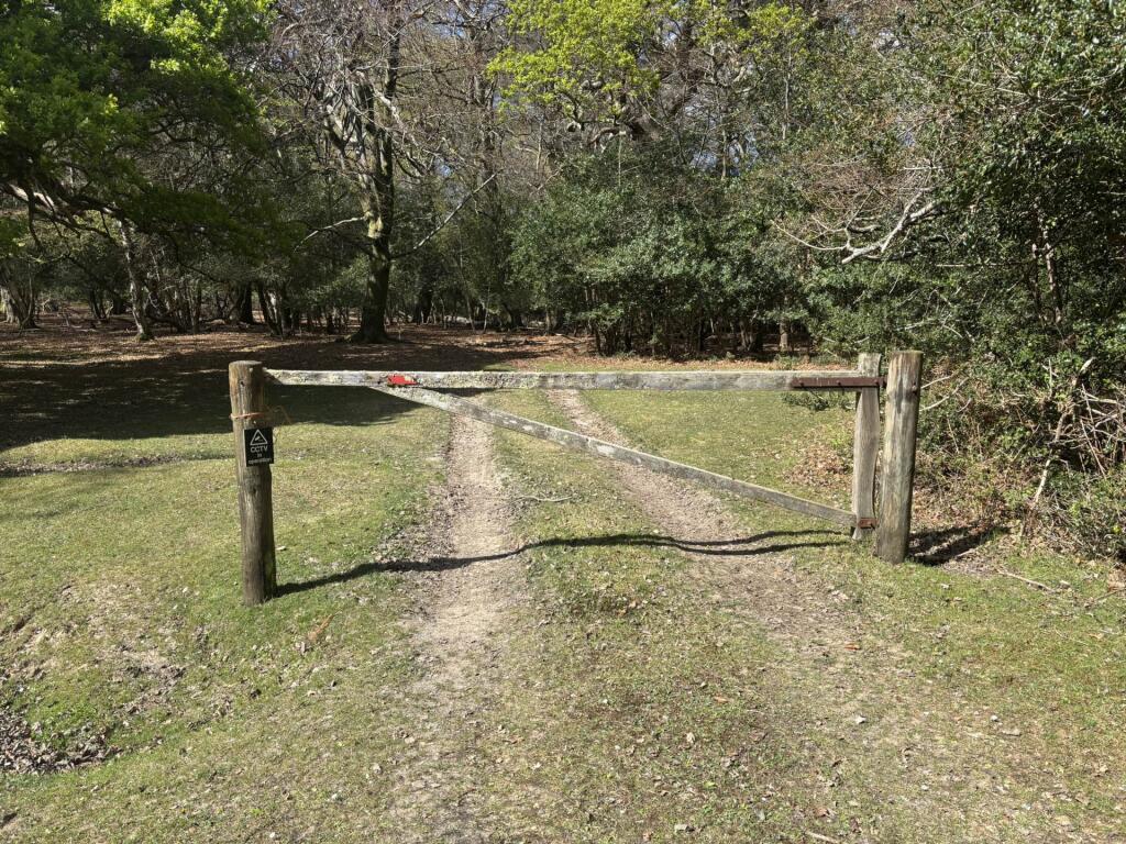
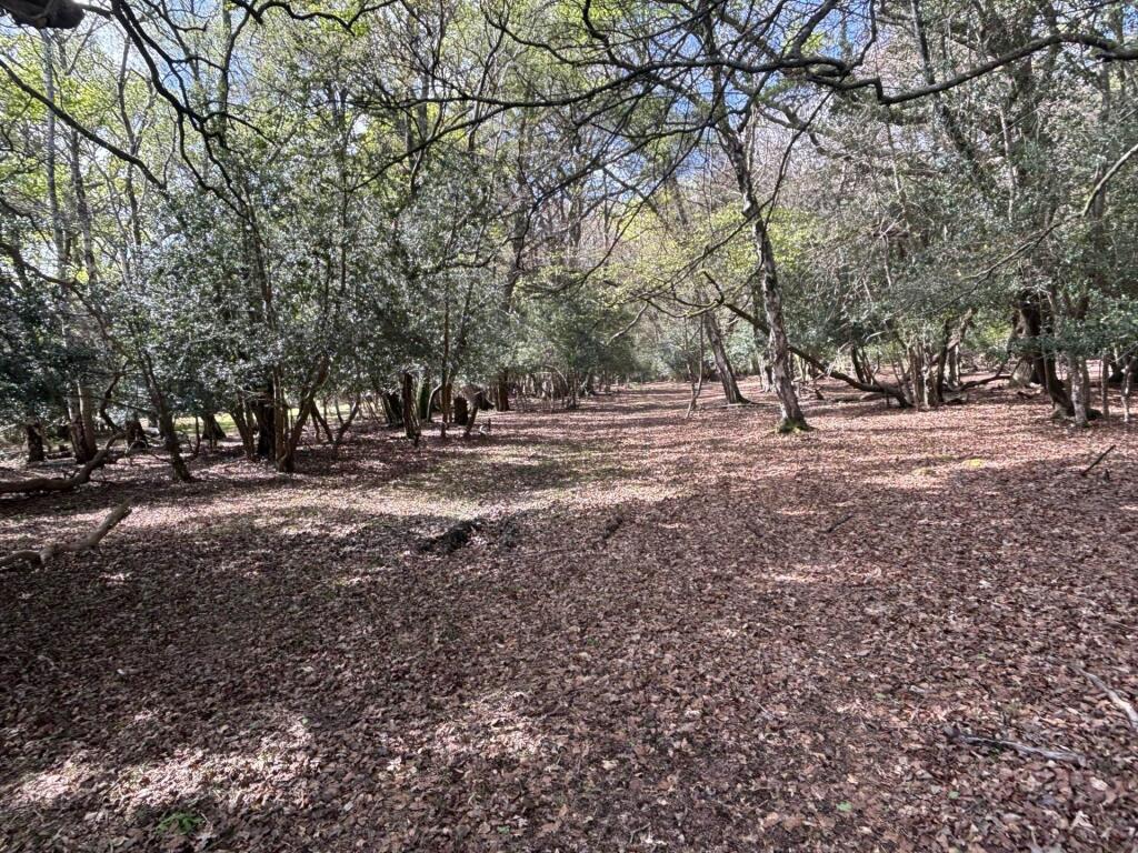
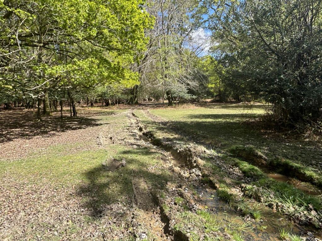
A parcel of fenced paddock land accessed directly from the national park. About 1.31 acres
- Bedrooms
- 0
- Bathrooms
- 0
The heatmap indicates the level of crime in the area. The color of the heatmap indicates the crime severity and recency.
Metrics Year-on-Year
- Average area value
- 471,111.00 £Increased by 12.11 %
- Average area rental value
- 1,283.00 £/moDecreased by 19.91 %
- Est rental Yield
- 3.27 %Decreased by 28.45 %
- Crime Rate
- 0.00 %
from 420,238.00 £
from 1,602.00 £/mo
from 4.57 %
from 0.00 %
Agent Activity
Fox Grant created the listing.
Nearby Schools
| Name | Type | Ofsted | Distance |
|---|---|---|---|
| Minstead Training Project | Miscellaneous | 0.36 KM | |
| St Michael And All Angels Cofe Infant School | Voluntary Aided School | Good | 3.85 KM |
| Bartley Church Of England Junior School | Voluntary Controlled School | Good | 4.17 KM |
| New Forest Small School | Other Independent School | 4.75 KM | |
| Copythorne Cofe Infant School | Voluntary Controlled School | Good | 5.07 KM |
Images

Nearby Streets
| Name | Average Price | Average Sqft | Distance |
|---|---|---|---|
| London Minstead Road | £ 0 | 0 | 0.00 KM |
| Minstead Road | £ 1,250,000 | 0 | 0.00 KM |
| Seamans Corner | £ 0 | 0 | 0.00 KM |
| Seaman's Lane | £ 0 | 0 | 0.00 KM |
| Newtown Road | £ 0 | 0 | 0.00 KM |
Nearby Transport
| Name | NLC | TLC | Distance |
|---|---|---|---|
| Ashurst New Forest | 5906 | ANF | 7.93 KM |
| Brockenhurst | 5886 | BCU | 9.82 KM |
Nearby Listings
| Address | Price | Type | Score | Distance |
|---|---|---|---|---|
| Minstead | £ 25,000 | BUY | Unknown | 0.00 KM |
| London Minstead, Lyndhurst, SO43 | £ 1,350,000 | BUY | 7 / 10 | 0.27 KM |
| London Minstead, Minstead, Lyndhurst, SO43 | £ 275,000 | BUY | 7 / 10 | 0.29 KM |
| Minstead, Lyndhurst, SO43 | £ 2,150,000 | BUY | 7 / 10 | 0.66 KM |
| Minstead, Lyndhurst, Hampshire, SO43 | £ 1,200,000 | BUY | 7 / 10 | 0.81 KM |
Nearby Properties
| Address | Price | Distance |
|---|---|---|
| 8 Congleton Close | £ 410,000 | 0.49 KM |
| 4 Congleton Close | £ 457,000 | 0.49 KM |
| Willow Green | £ 983,500 | 0.72 KM |
| The Walnuts | £ 1,175,000 | 0.74 KM |
| Talbot Cottage | £ 717,500 | 0.74 KM |