
Brooksbank Road, Ormesby, TS7
By Purplebricks
£ 130,000
Reviews
2 out of 5 stars
Purplebricks says ..
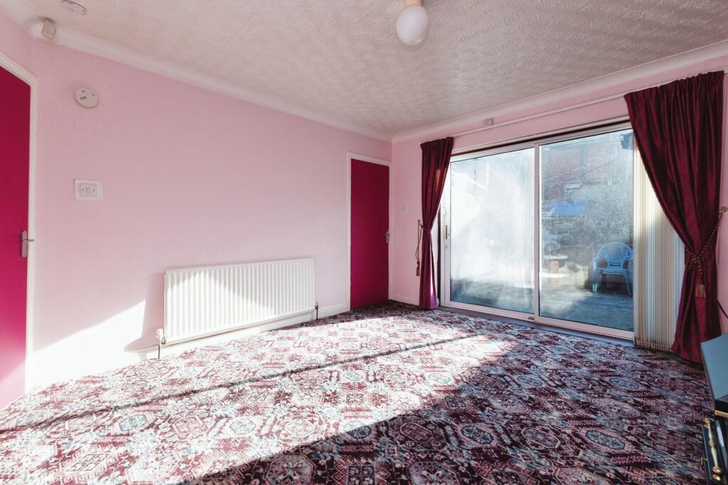
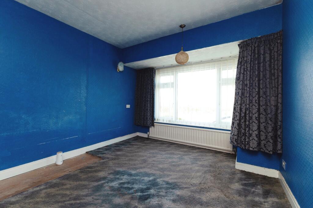
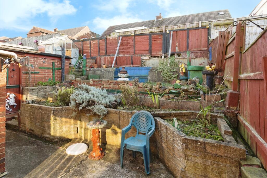
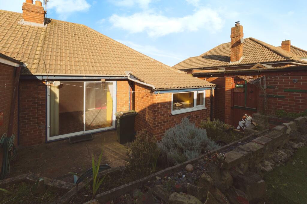
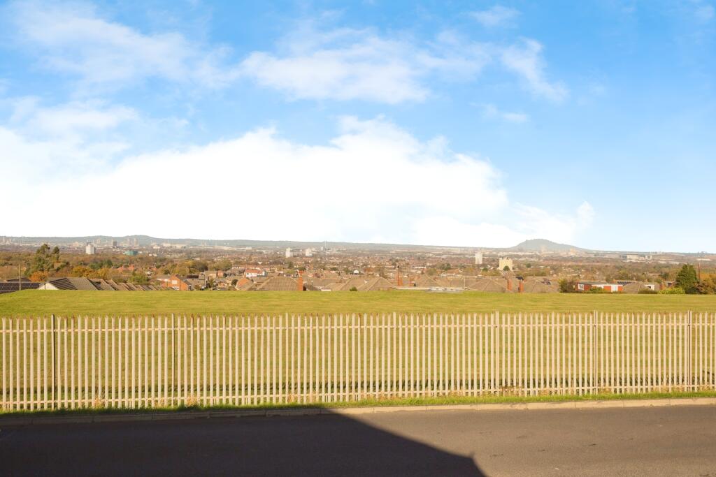
Two bedroom semi detached bungalow, situated off Ormesby Bank in a quiet residential spot - well placed for the local amenities and lots of surrounding walks. Requiring some modernisation and offered to the market with no onward chain, this spacious home briefly consists of two double bedrooms, ...
Property Oracle says ..
The property is located in Ormesby, North Yorkshire, and is a BUY type property listed at £130,000. It has 2 bedrooms and 1 bathroom, with a total area of 634 sqft. The plot size is 0 sqft. The average house price in the area is £329,750, with an average size of 1220 sqft and an average price per sqft of £270. Nearby properties range in price from £90,000 to £275,000. The property benefits from being close to several schools, including Nunthorpe Primary Academy (Outstanding Ofsted rating) and Nunthorpe Academy (Good Ofsted rating), both within approximately 1km. Several train stations are also within a reasonable distance. Based on the provided images, the property appears to be in need of significant modernisation and updating. The décor is dated, and some areas show signs of wear and tear. The garden is present but requires attention. The property’s condition is significantly below average for the area. Given the property’s condition, the relatively small size (634 sqft), and the need for significant renovation, the list price of £130,000 is potentially reasonable compared to other properties in the area that are in better condition. However, the price per sqft is significantly lower than the average for the area (£270), suggesting it might represent a good value proposition for a buyer willing to undertake renovations.
Therefore, we give this property 5 / 10. *Disclaimer: This is our option and does constitute a recommendation or financial advice. Do your own research. *
- Price
- 6
- Condition
- 3
- Location
- 7
- Land
- 4
- Bedrooms
- 2
- Bathrooms
- 1
- Sqft (est)
- 634.00
The heatmap indicates the level of crime in the area. The color of the heatmap indicates the crime severity and recency.
Metrics Year-on-Year
- Average area value
- 267,273.00 £Increased by 7.48 %
- Est sale value
- 212,390.00 £Increased by 22.71 %
- Average area rental value
- 688.00 £/moDecreased by 10.30 %
- Est letting value
- 0.00 £/mo
- Est rental Yield
- 3.09 %Decreased by 16.49 %
- Crime Rate
- 9.00 %Unchanged by 0.00 %
Agent Activity
Purplebricks created the listing.
Nearby Schools
| Name | Type | Ofsted | Distance |
|---|---|---|---|
| Nunthorpe Primary Academy | Academy Converter | Outstanding | 1.04 KM |
| Nunthorpe Academy | Academy Converter | Good | 1.10 KM |
| Overfields Primary School | Academy Converter | 1.33 KM | |
| Ormesby Surestart Children'S Centre | Children's Centre | 1.41 KM | |
| Saint Gabriel'S Catholic Primary School | Academy Converter | Good | 1.57 KM |
Images


Nearby Streets
| Name | Average Price | Average Sqft | Distance |
|---|---|---|---|
| Forest Drive | £ 153,500 | 0 | 0.00 KM |
| Sherwood Close | £ 0 | 0 | 0.00 KM |
| Spring Garden Lane | £ 0 | 0 | 0.00 KM |
| Meadow Drive | £ 300,000 | 0 | 0.00 KM |
| Spring Garden Close | £ 177,500 | 0 | 0.00 KM |
Nearby Transport
| Name | NLC | TLC | Distance |
|---|---|---|---|
| Nunthorpe | 7946 | NNT | 1.28 KM |
| Gypsy Lane | 7930 | GYP | 1.39 KM |
| Marton | 7947 | MTO | 3.34 KM |
| James Cook University Hospital | 9507 | JCH | 4.63 KM |
| South Bank | 7953 | SBK | 5.03 KM |
Nearby Listings
| Address | Price | Type | Score | Distance |
|---|---|---|---|---|
| Brooksbank Road, Ormesby, TS7 | £ 130,000 | BUY | 5 / 10 | 0.00 KM |
| Brooksbank Road, Ormesby | £ 160,000 | BUY | 6 / 10 | 0.00 KM |
| Brooksbank Road, Middlesbrough, North Yorkshire, TS7 | £ 155,000 | BUY | 6 / 10 | 0.01 KM |
| Farmbank Road, Ormesby | £ 165,000 | BUY | 6 / 10 | 0.03 KM |
| Brooksbank Road, Ormesby | £ 250,000 | BUY | 6 / 10 | 0.09 KM |
Nearby Properties
| Address | Price | Distance |
|---|---|---|
| 25 Brooksbank Road | £ 177,500 | 0.01 KM |
| 19 Brooksbank Road | £ 220,000 | 0.01 KM |
| 35 Farmbank Road | £ 172,000 | 0.11 KM |
| 52 Farmbank Road | £ 166,500 | 0.11 KM |
| 46 Farmbank Road | £ 160,000 | 0.11 KM |