HA
King Johns Street, Fleet
By haart
£ 1,500
haart says ..
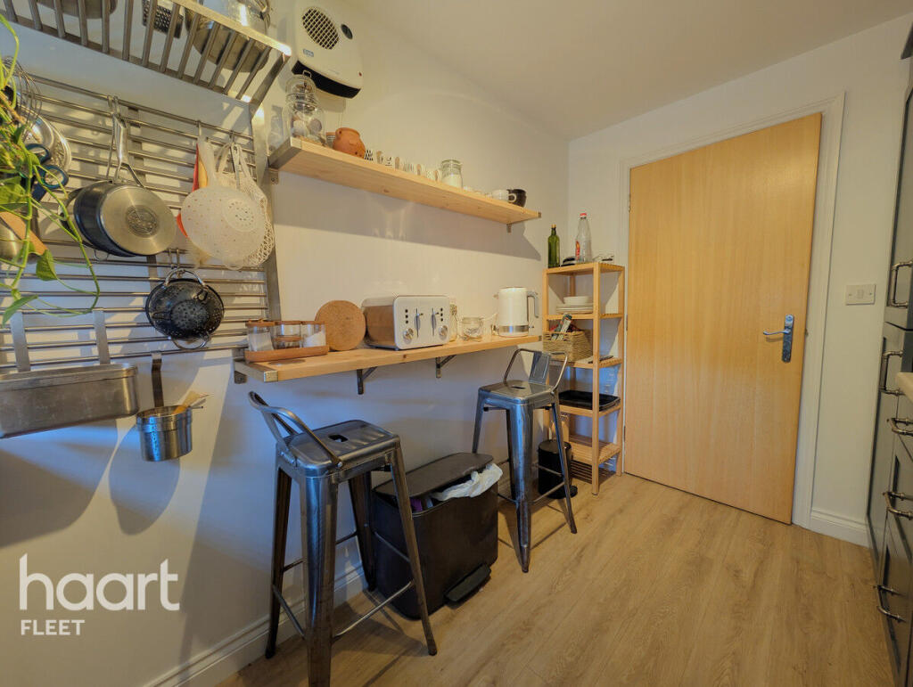
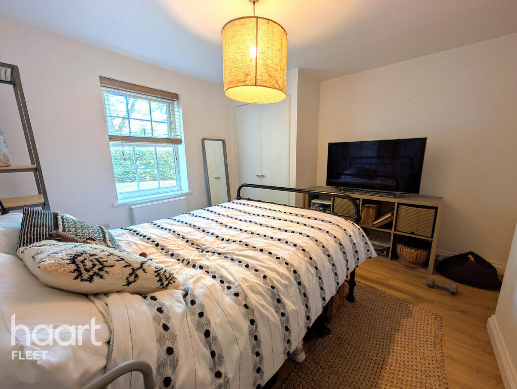
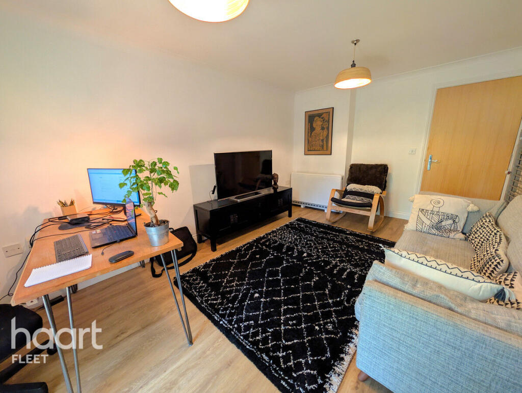
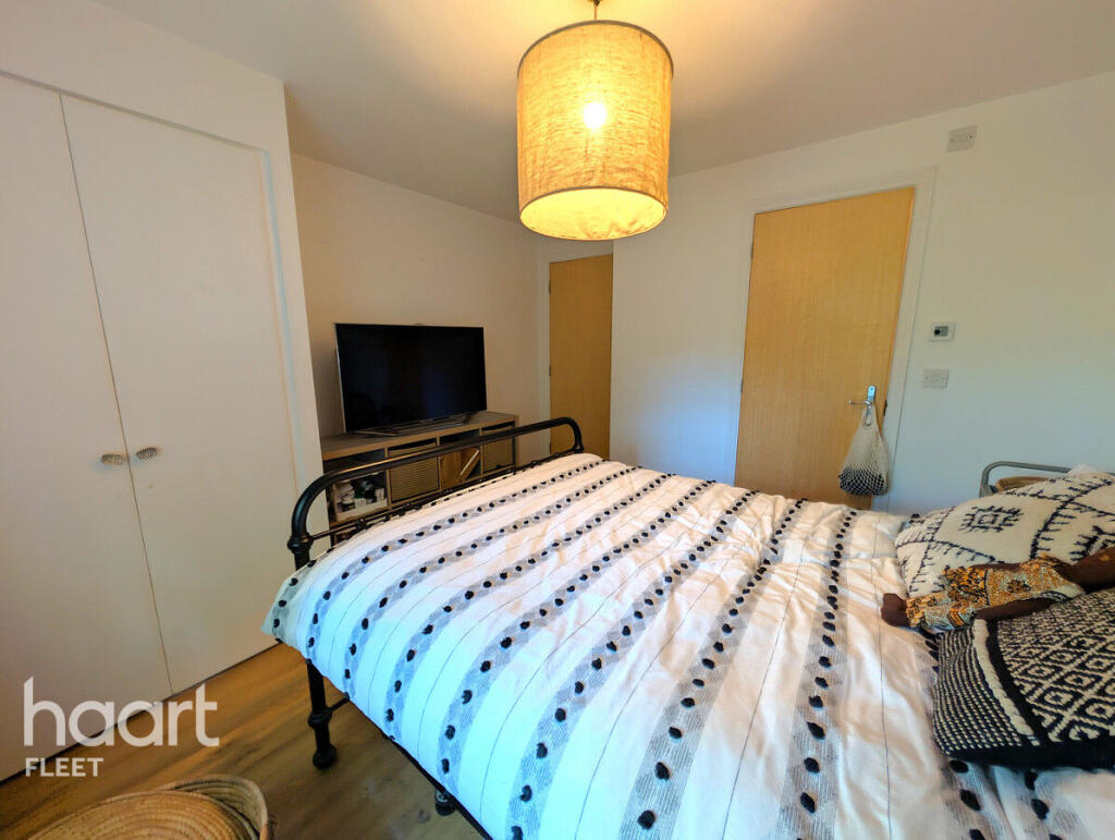
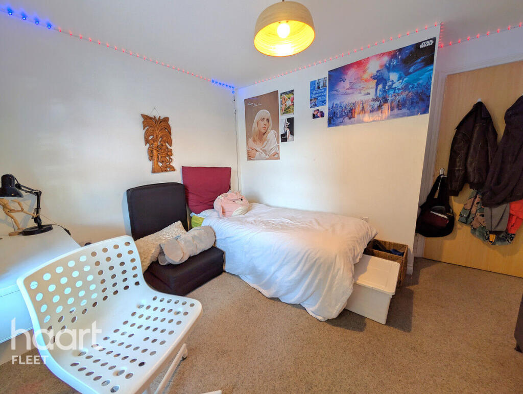
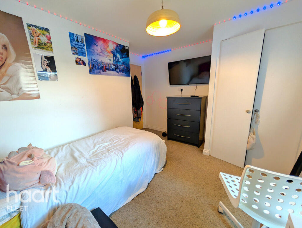
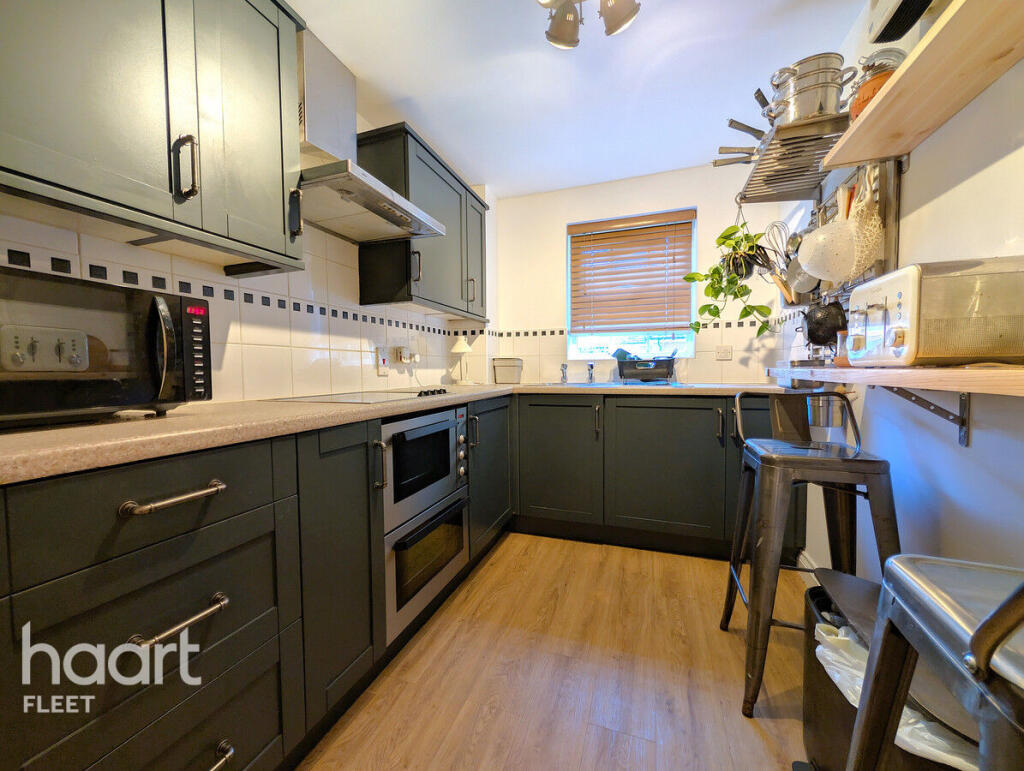
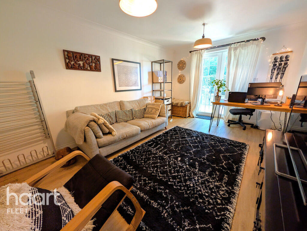
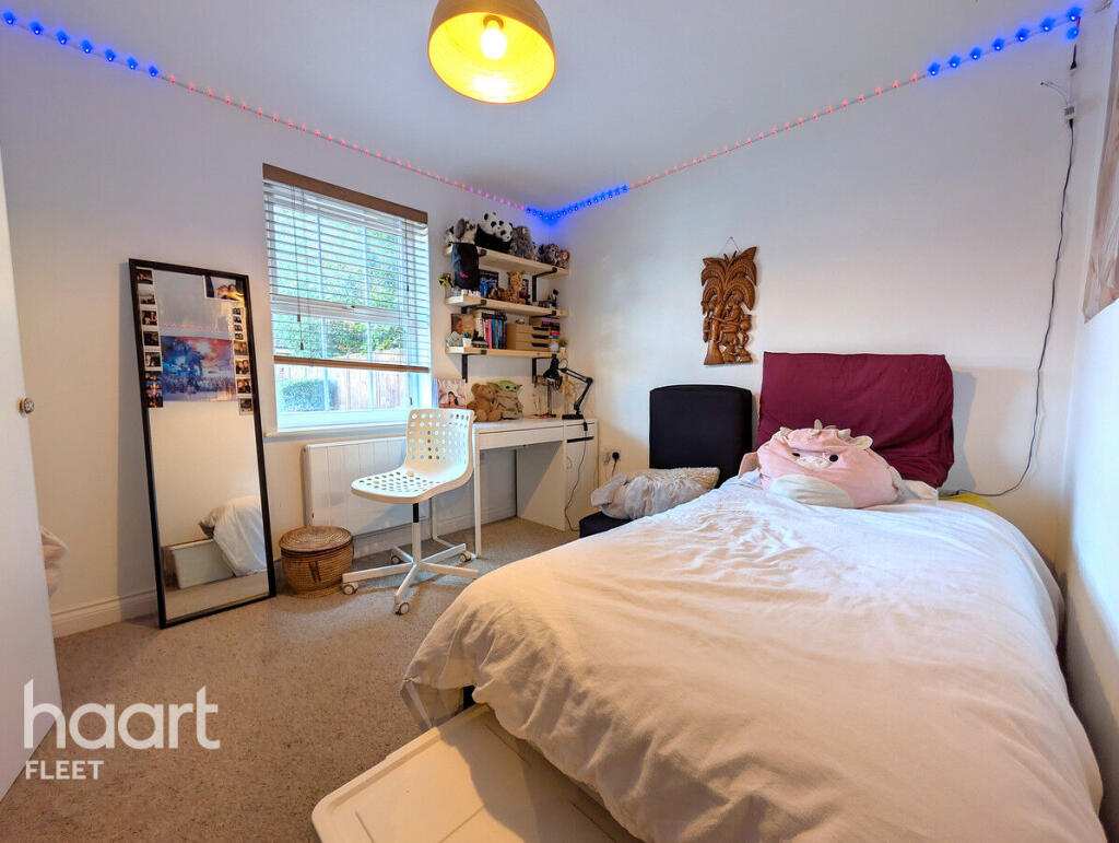
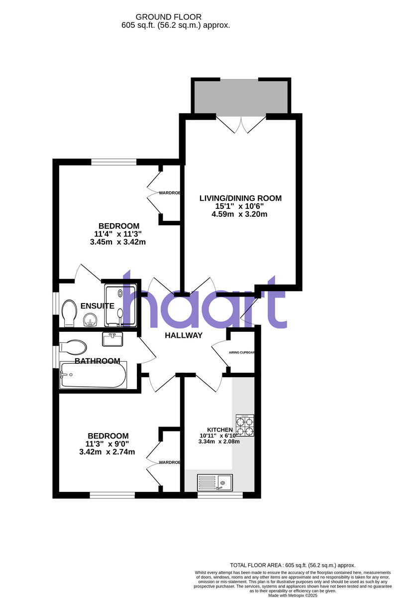
Attractive Two-Bedroom Ground Floor Apartment in Worcester Court, Fleet – Elvetham Heath
- Bedrooms
- 2
- Bathrooms
- 1
The heatmap indicates the level of crime in the area. The color of the heatmap indicates the crime severity and recency.
Metrics Year-on-Year
- Average area value
- 587,286.00 £Decreased by 26.45 %
- Average area rental value
- 1,582.00 £/moDecreased by 10.97 %
- Est rental Yield
- 3.23 %Increased by 20.97 %
- Crime Rate
- 6.00 %Unchanged by 0.00 %
from 798,481.00 £
from 1,777.00 £/mo
from 2.67 %
from 6.00 %
Agent Activity
haart created the listing.
Nearby Schools
| Name | Type | Ofsted | Distance |
|---|---|---|---|
| Elvetham Heath Primary School | Community School | Outstanding | 1.03 KM |
| Turners Wood, Fleet Fireflies And Wild Rose Children'S Centre | Children's Centre | 1.03 KM | |
| Fleet Fireflies Children'S Centre | Children's Centre Linked Site | 1.25 KM | |
| Heatherside Infant School | Community School | Outstanding | 1.77 KM |
| Heatherside Junior School | Community School | Outstanding | 1.77 KM |
Images


Nearby Streets
| Name | Average Price | Average Sqft | Distance |
|---|---|---|---|
| Church Road | £ 1,200,000 | 0 | 0.00 KM |
| Beaumont Court | £ 0 | 0 | 0.00 KM |
| Sunnyside | £ 1,597,500 | 0 | 0.00 KM |
| Church Grove | £ 0 | 0 | 0.00 KM |
| Stockton House | £ 0 | 0 | 0.00 KM |
Nearby Transport
| Name | NLC | TLC | Distance |
|---|---|---|---|
| Fleet | 5522 | FLE | 1.83 KM |
| Winchfield | 5528 | WNF | 6.62 KM |
| Sandhurst (Berks) | 5646 | SND | 7.92 KM |
| Blackwater | 5625 | BAW | 9.08 KM |
| Crowthorne | 5628 | CRN | 9.10 KM |
Nearby Listings
| Address | Price | Type | Score | Distance |
|---|---|---|---|---|
| King Johns Street, Fleet | £ 1,500 | RENT | Unknown | 0.00 KM |
| King John Street, Fleet | £ 1,950 | RENT | Unknown | 0.04 KM |
| King John Street, Fleet | £ 1,350 | RENT | Unknown | 0.08 KM |
| King John Street, Fleet, Hampshire, GU51 | £ 1,350 | RENT | Unknown | 0.12 KM |
| Giffard Lane, Fleet, GU51 | £ 1,995 | RENT | Unknown | 0.20 KM |
Nearby Properties
| Address | Price | Distance |
|---|---|---|
| 46 King John Street | £ 440,000 | 0.07 KM |
| 18 King John Street | £ 229,300 | 0.07 KM |
| 34 King John Street | £ 343,000 | 0.07 KM |
| 3 King John Street | £ 265,000 | 0.07 KM |
| 54 King John Street | £ 435,000 | 0.07 KM |