NE
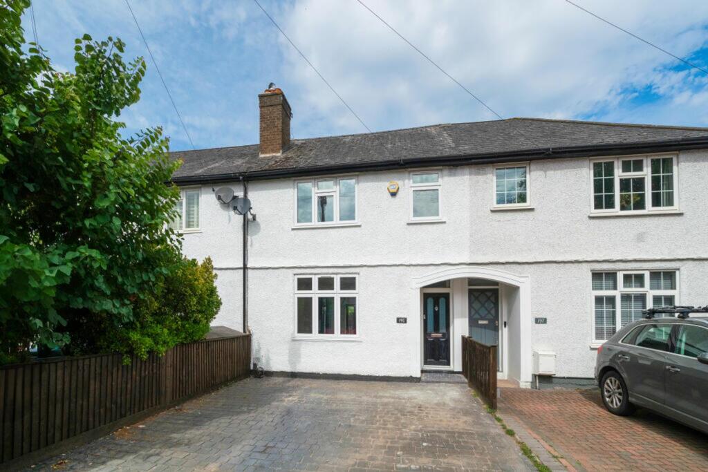
Burntwood Lane, London, SW17
By Nested
£ 1,200,000
Nested says ..
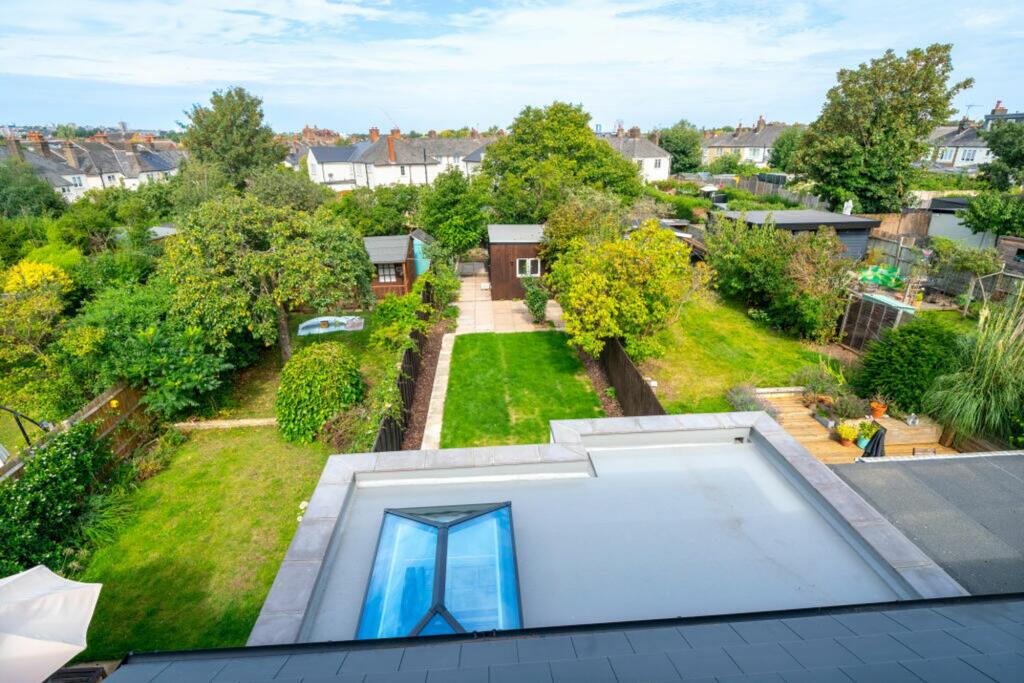
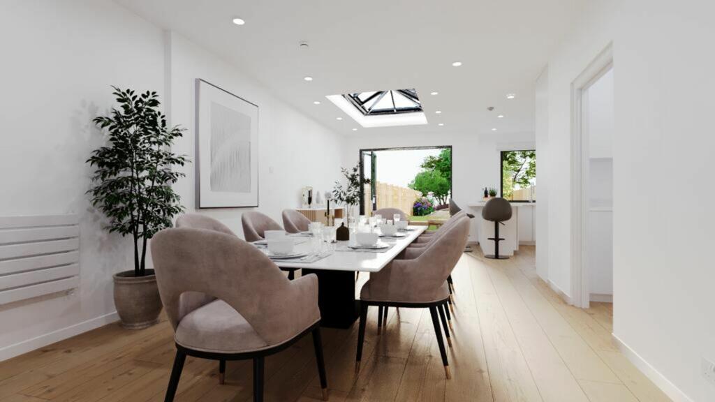
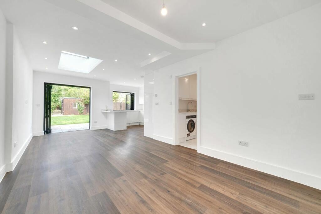
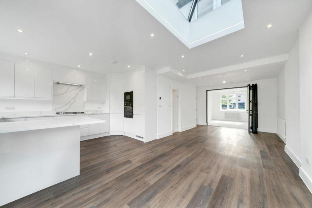
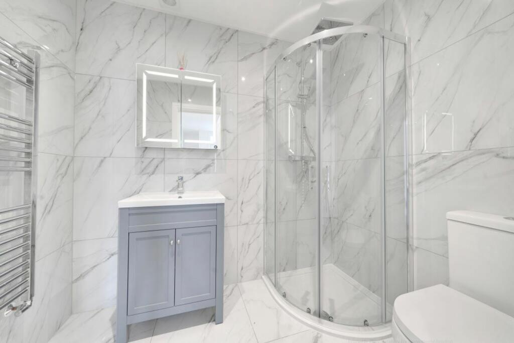
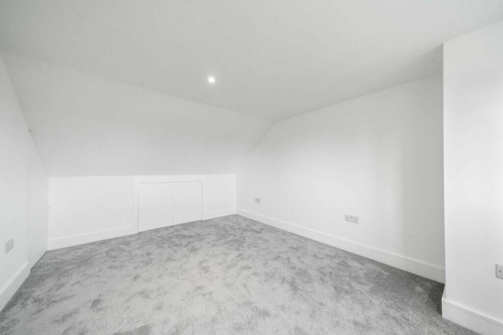
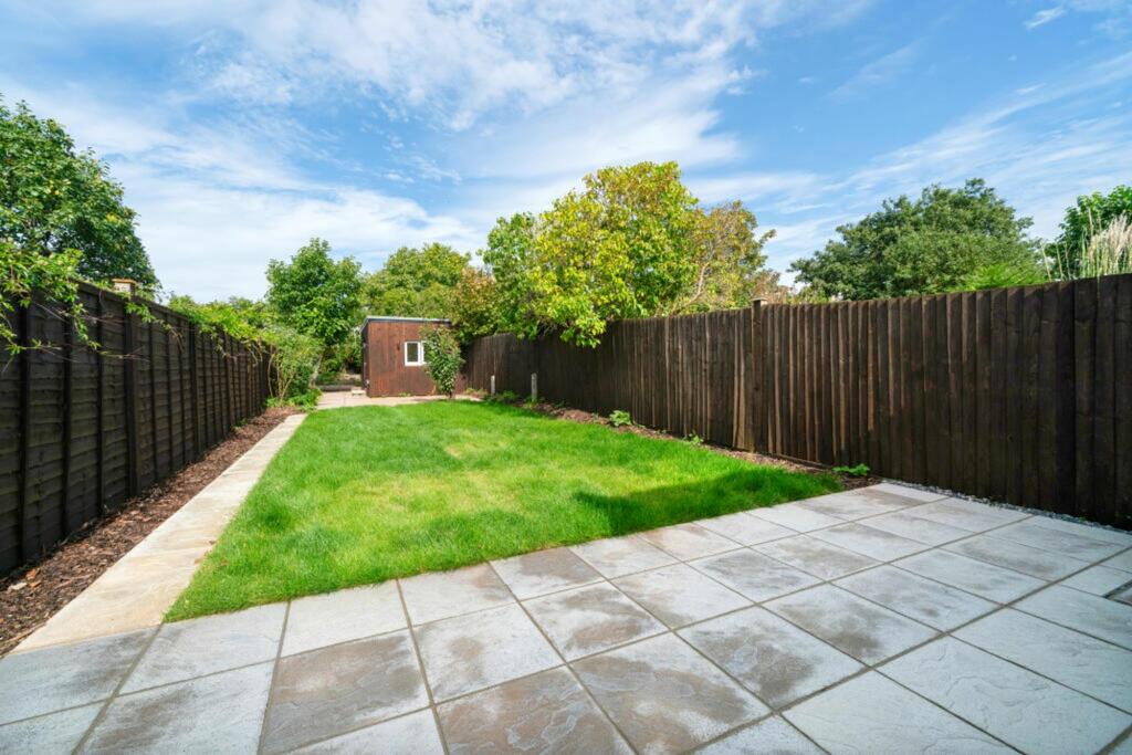
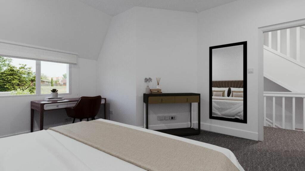
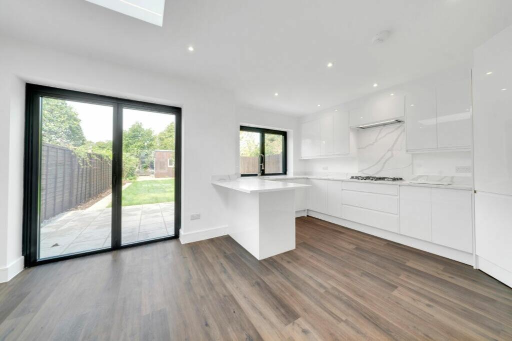
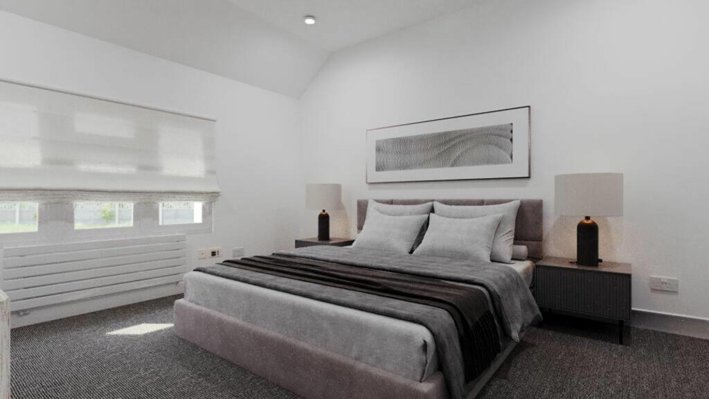
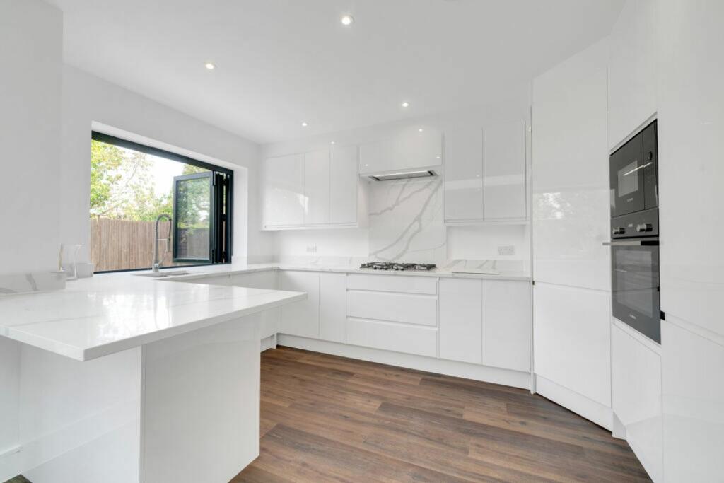
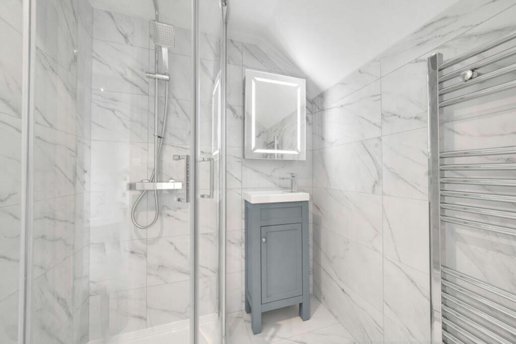
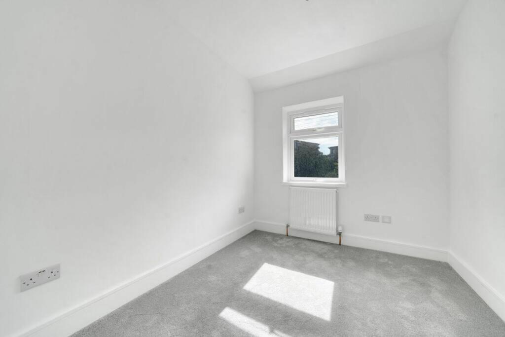
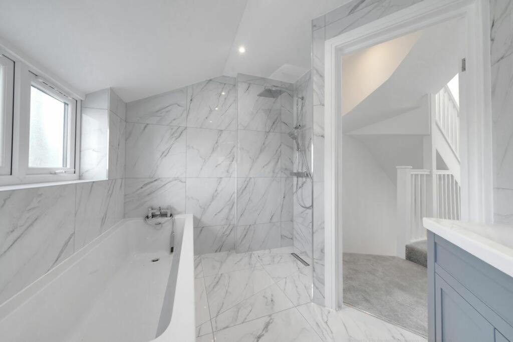
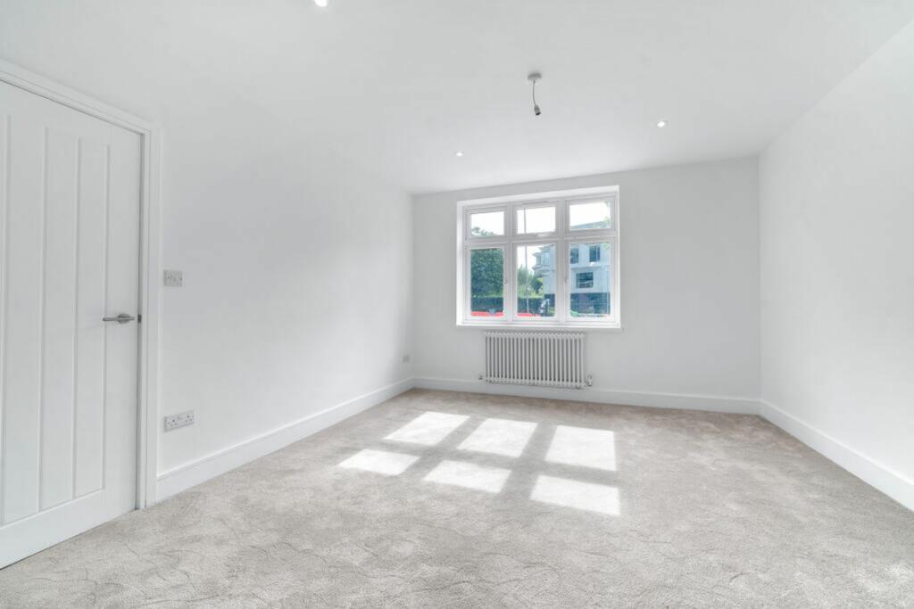
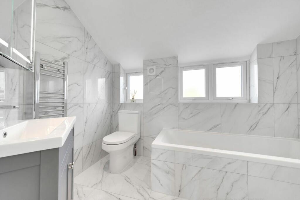
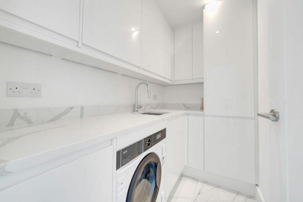
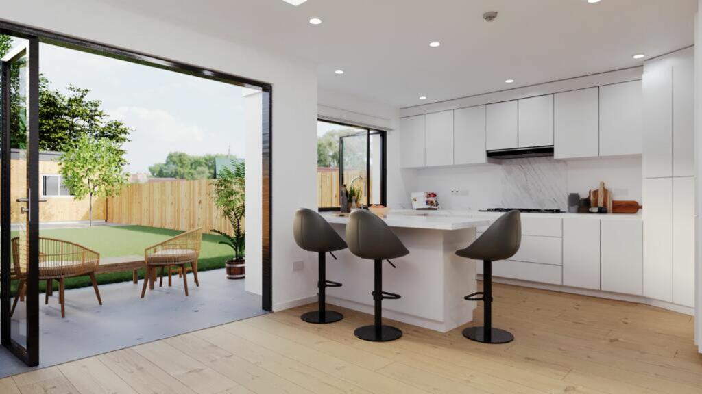
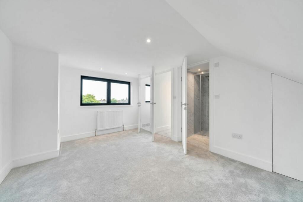
Step into this fantastic mid-terrace family abode, which has gone under a comprehensive refurbishment to elevate your living experience. Welcome ho...
- Bedrooms
- 4
- Bathrooms
- 3
The heatmap indicates the level of crime in the area. The color of the heatmap indicates the crime severity and recency.
Metrics Year-on-Year
- Average area value
- 684,091.00 £Decreased by 0.97 %
- Average area rental value
- 2,456.00 £/moIncreased by 5.54 %
- Est rental Yield
- 4.31 %Increased by 6.68 %
- Crime Rate
- 1.00 %Unchanged by 0.00 %
from 690,757.00 £
from 2,327.00 £/mo
from 4.04 %
from 1.00 %
Agent Activity
Nested created the listing.
Nearby Schools
| Name | Type | Ofsted | Distance |
|---|---|---|---|
| Burntwood School | Academy Converter | Good | 0.08 KM |
| The Chelsea Group Of Children | Other Independent Special School | Outstanding | 0.63 KM |
| Beatrix Potter Primary School | Community School | Good | 0.65 KM |
| Garratt Park School | Community Special School | Good | 0.70 KM |
| Earlsfield Primary School | Community School | Outstanding | 0.73 KM |
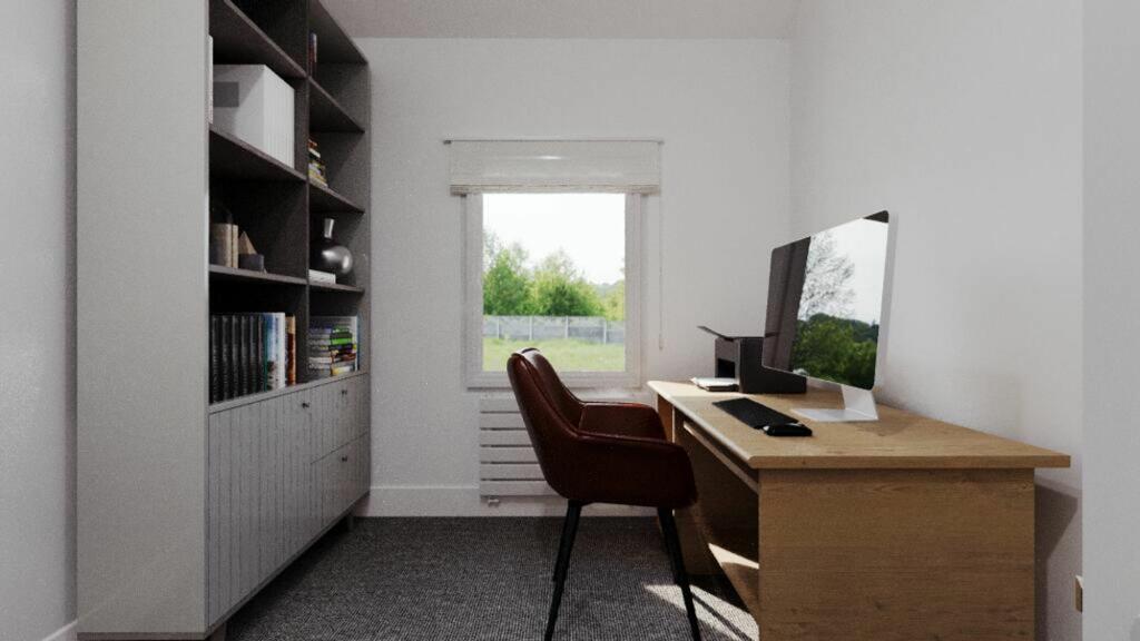
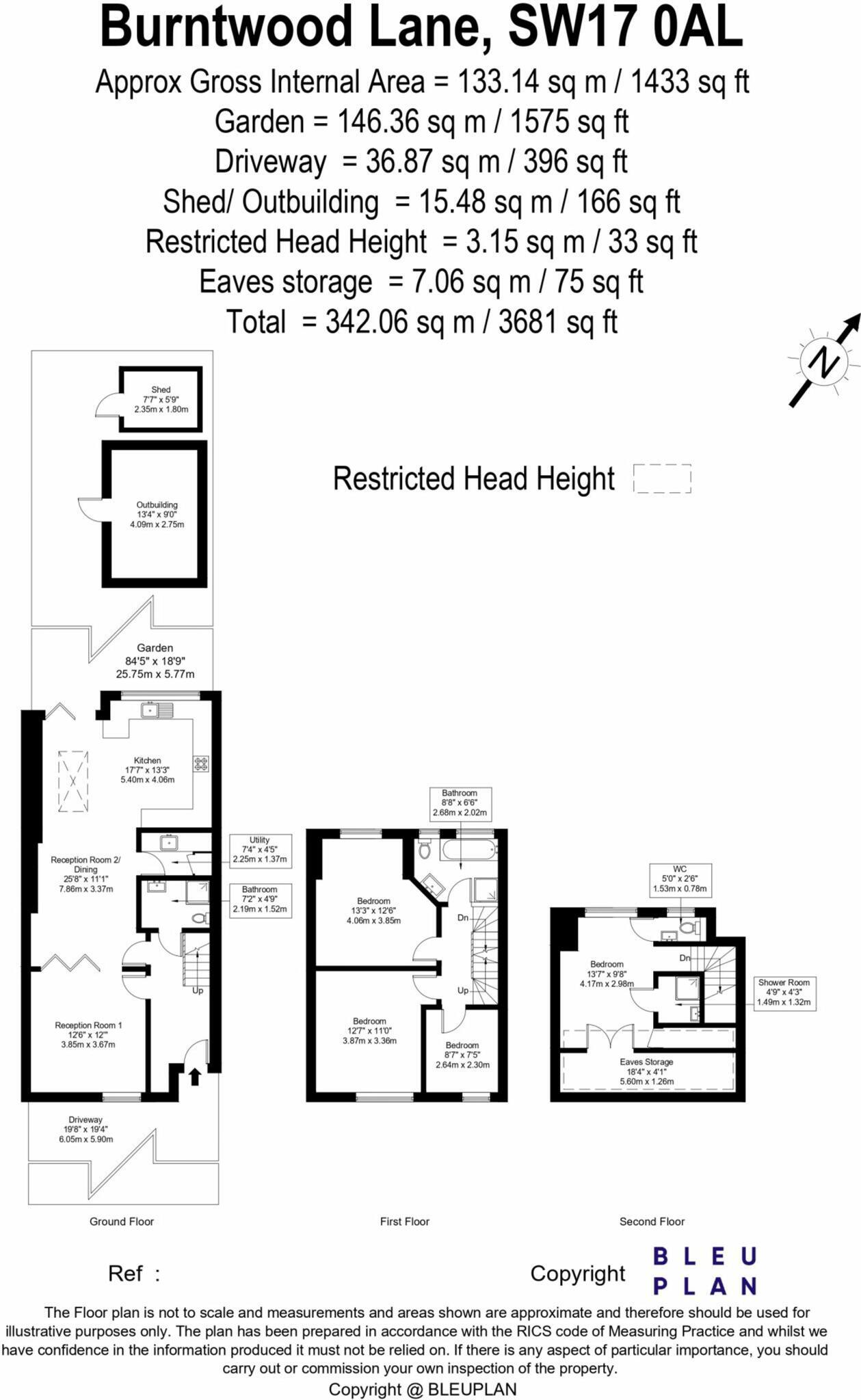
Images


Nearby Streets
| Name | Average Price | Average Sqft | Distance |
|---|---|---|---|
| Atkinson Morley Avenue | £ 0 | 0 | 0.00 KM |
| Squarey Street | £ 0 | 0 | 0.00 KM |
| Lapidge Drive | £ 683,895 | 0 | 0.00 KM |
| Lapidge Drive | £ 0 | 0 | 0.00 KM |
| Bramble Mews | £ 151,250 | 0 | 0.00 KM |
Nearby Transport
| Name | NLC | TLC | Distance |
|---|---|---|---|
| Earlsfield | 5584 | EAD | 0.93 KM |
| Haydons Road | 5289 | HYR | 1.75 KM |
| Wandsworth Common | 5395 | WSW | 2.04 KM |
| Wandsworth Town | 5576 | WNT | 2.65 KM |
| Tooting | 5389 | TOO | 2.95 KM |
Nearby Listings
| Address | Price | Type | Score | Distance |
|---|---|---|---|---|
| Burntwood Lane, Earlsfield, London, SW17 | £ 645,000 | BUY | 8 / 10 | 0.02 KM |
| Dawnay Road, Earlsfield, London, SW18 | £ 1,075,000 | BUY | 6 / 10 | 0.14 KM |
| Dawnay Road, London, SW18 | £ 1,400,000 | BUY | 8 / 10 | 0.14 KM |
| Dawnay Road, SW18 | £ 1,099,999 | BUY | 7 / 10 | 0.15 KM |
| Swaby Road, Earlsfield, London, SW18 | £ 795,000 | BUY | 8 / 10 | 0.17 KM |
Nearby Properties
| Address | Price | Distance |
|---|---|---|
| 173b Burntwood Lane | £ 282,000 | 0.03 KM |
| 215 Burntwood Lane | £ 650,000 | 0.03 KM |
| 193 Burntwood Lane | £ 430,000 | 0.03 KM |
| 221 Burntwood Lane | £ 858,000 | 0.03 KM |
| 171b Burntwood Lane | £ 285,000 | 0.03 KM |