HA
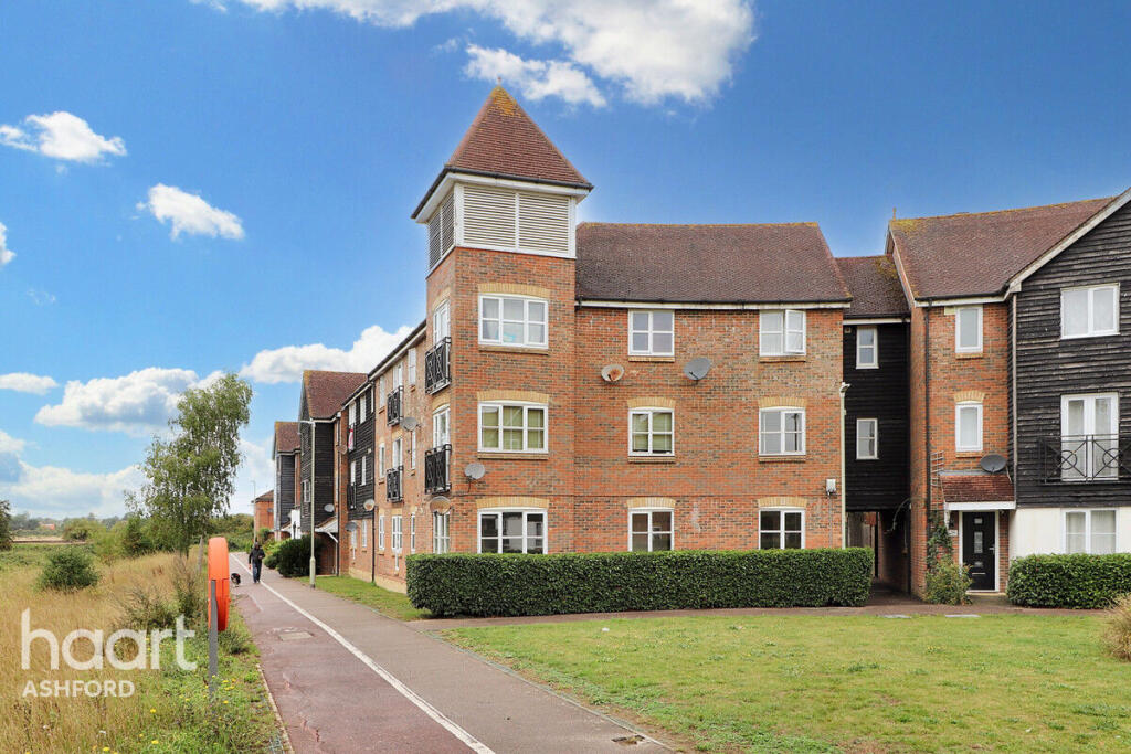
Riverbank Way, ASHFORD
By haart
£ 1,450
haart says ..
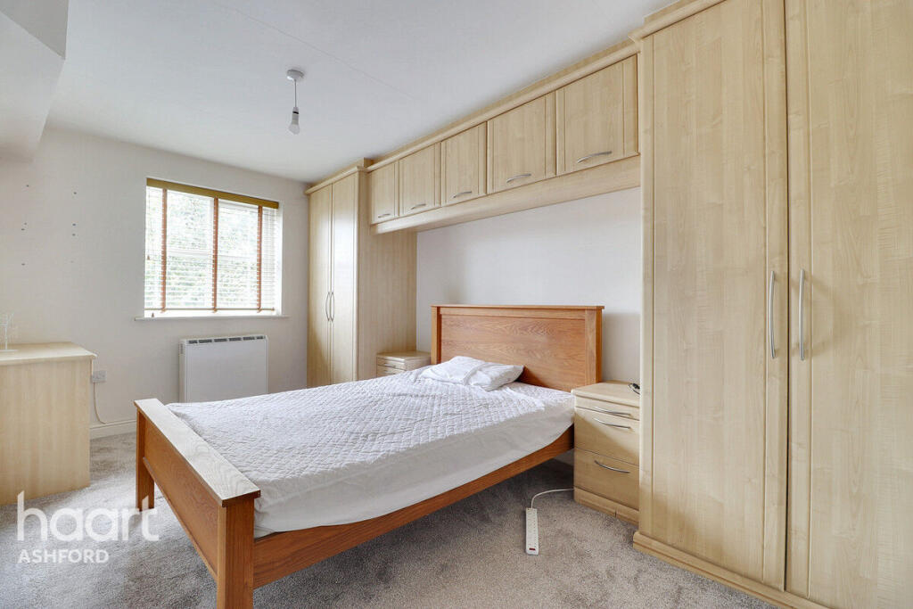
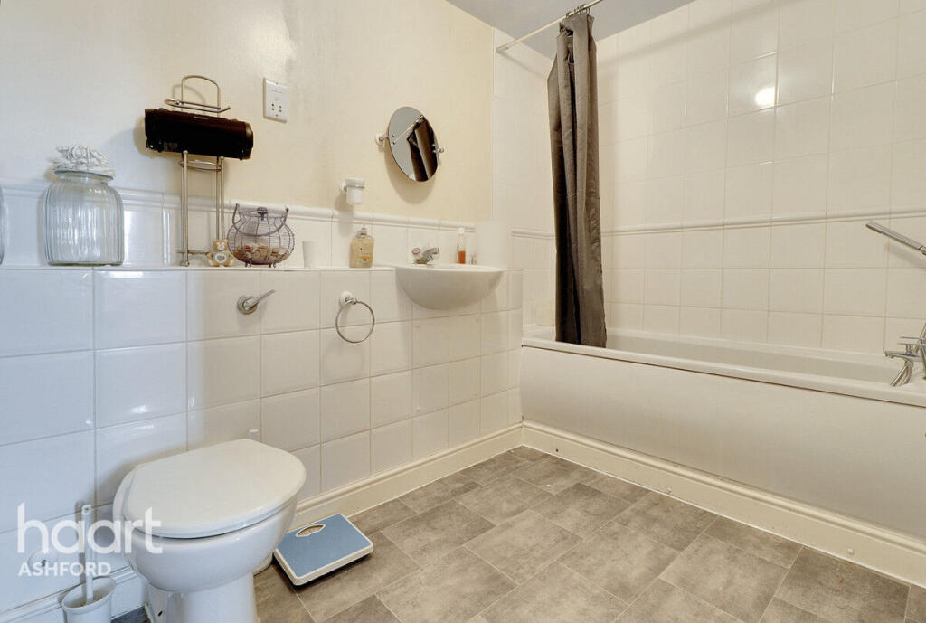
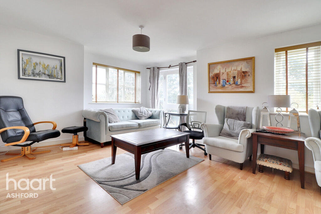
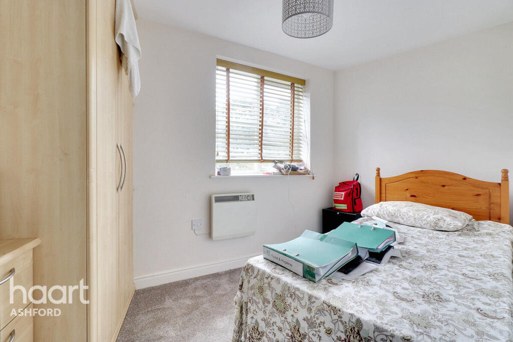
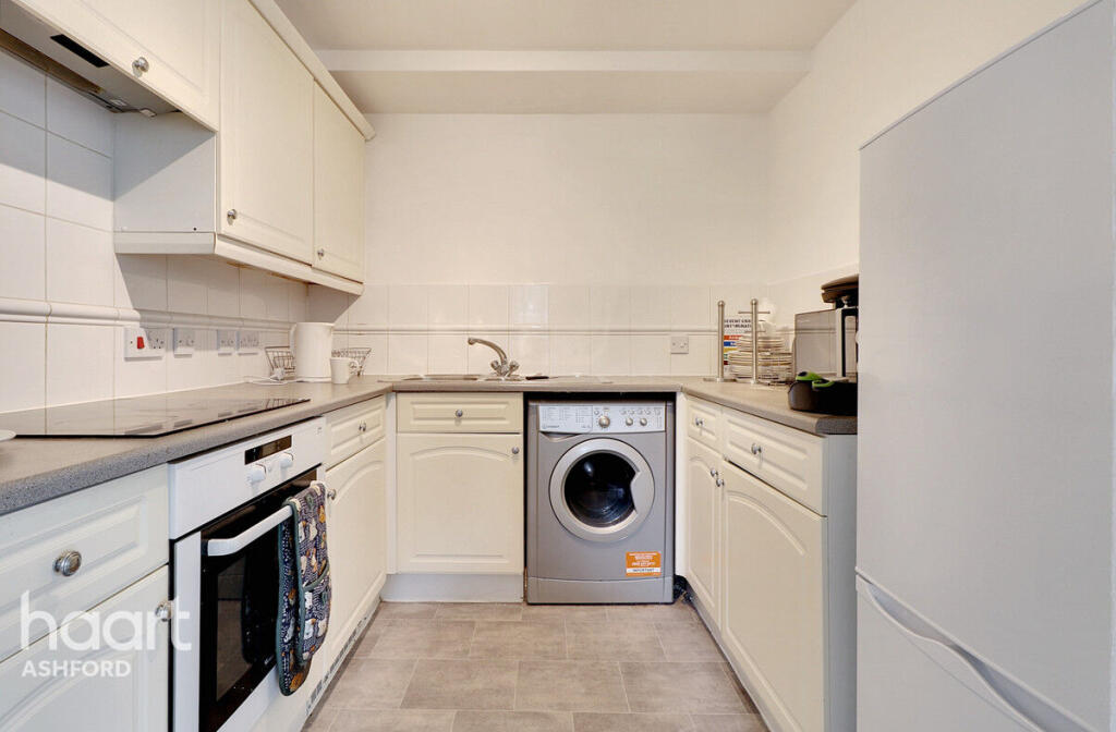
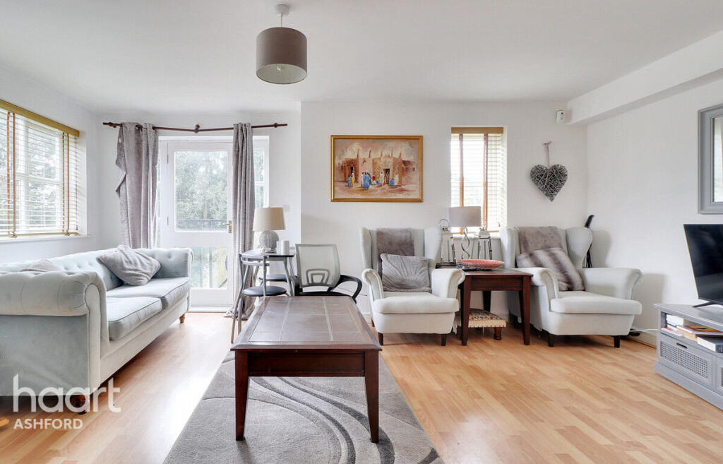
Three Bedroom, Two Bathroom Furnished Flat
- Bedrooms
- 3
- Bathrooms
- 2
The heatmap indicates the level of crime in the area. The color of the heatmap indicates the crime severity and recency.
Metrics Year-on-Year
- Average area value
- 257,097.00 £Decreased by 8.25 %
- Average area rental value
- 956.00 £/moIncreased by 1.92 %
- Est rental Yield
- 4.46 %Increased by 10.95 %
- Crime Rate
- 16.00 %Unchanged by 0.00 %
from 280,201.00 £
from 938.00 £/mo
from 4.02 %
from 16.00 %
Agent Activity
haart created the listing.
Nearby Schools
| Name | Type | Ofsted | Distance |
|---|---|---|---|
| Waterside Children'S Centre | Children's Centre | 0.91 KM | |
| Finberry Primary School | Academy Sponsor Led | Good | 1.39 KM |
| The North School | Academy Converter | 1.73 KM | |
| Furley Park Primary Academy | Academy Converter | Good | 1.83 KM |
| Cornfields School | Other Independent Special School | Good | 2.07 KM |
Images


Nearby Streets
| Name | Average Price | Average Sqft | Distance |
|---|---|---|---|
| Ellison Close | £ 0 | 0 | 0.00 KM |
| Newtown Road | £ 0 | 0 | 0.00 KM |
| Kimberley Way | £ 0 | 0 | 0.00 KM |
| The Courtyard | £ 230,000 | 0 | 0.00 KM |
| Newtown Road | £ 0 | 0 | 0.00 KM |
Nearby Transport
| Name | NLC | TLC | Distance |
|---|---|---|---|
| Ashford International | 5004 | AFK | 1.73 KM |
| Ham Street | 5037 | HMT | 7.37 KM |
| Wye | 5031 | WYE | 8.19 KM |
Nearby Listings
| Address | Price | Type | Score | Distance |
|---|---|---|---|---|
| Riverbank Way, ASHFORD | £ 1,450 | RENT | Unknown | 0.00 KM |
| Riverbank Way, Ashford, TN24 0PZ | £ 1,100 | RENT | Unknown | 0.01 KM |
| Riverbank Way Ashford TN24 | £ 1,100 | RENT | Unknown | 0.02 KM |
| Riverbank Way, Ashford | £ 1,100 | RENT | Unknown | 0.03 KM |
| White Willow Close, Ashford, Kent, TN24 | £ 750 | RENT | Unknown | 0.08 KM |
Nearby Properties
| Address | Price | Distance |
|---|---|---|
| 51 Riverbank Way | £ 132,000 | 0.02 KM |
| 71 Riverbank Way | £ 138,000 | 0.02 KM |
| 41 Riverbank Way | £ 143,500 | 0.02 KM |
| 12 Riverbank Way | £ 106,500 | 0.02 KM |
| 52 Riverbank Way | £ 136,500 | 0.02 KM |