
HA
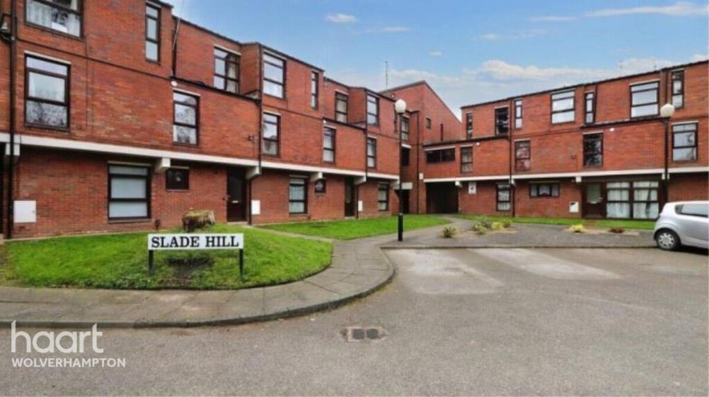
Slade Hill, Wolverhampton
By haart
£ 795
haart says ..
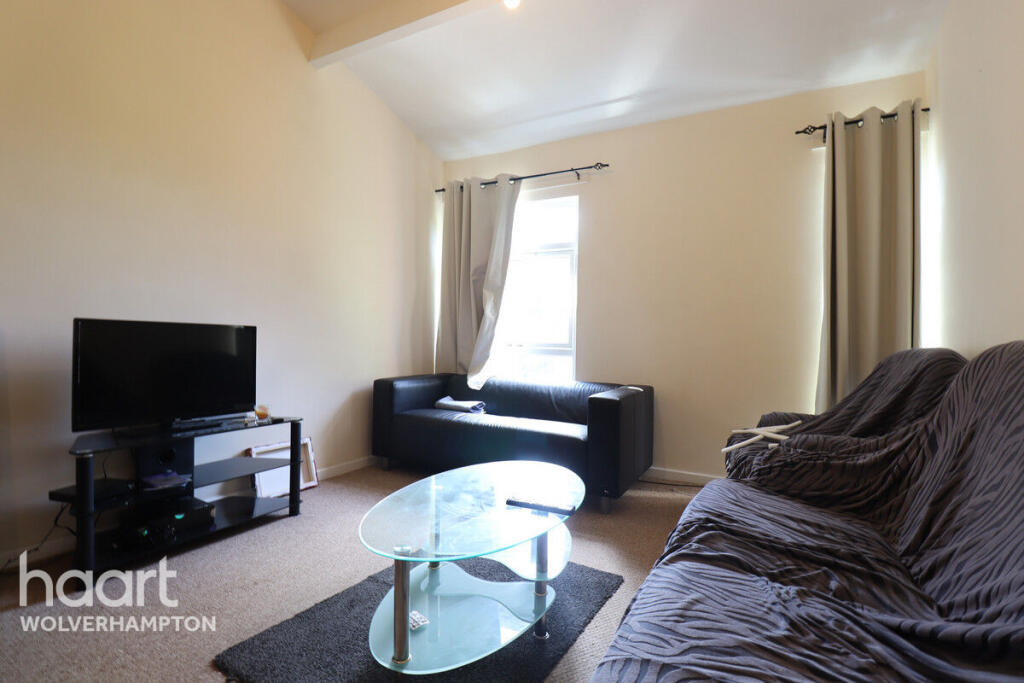
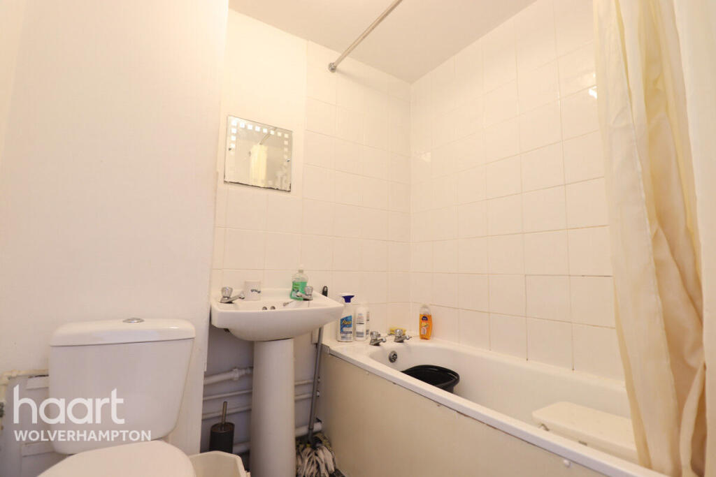
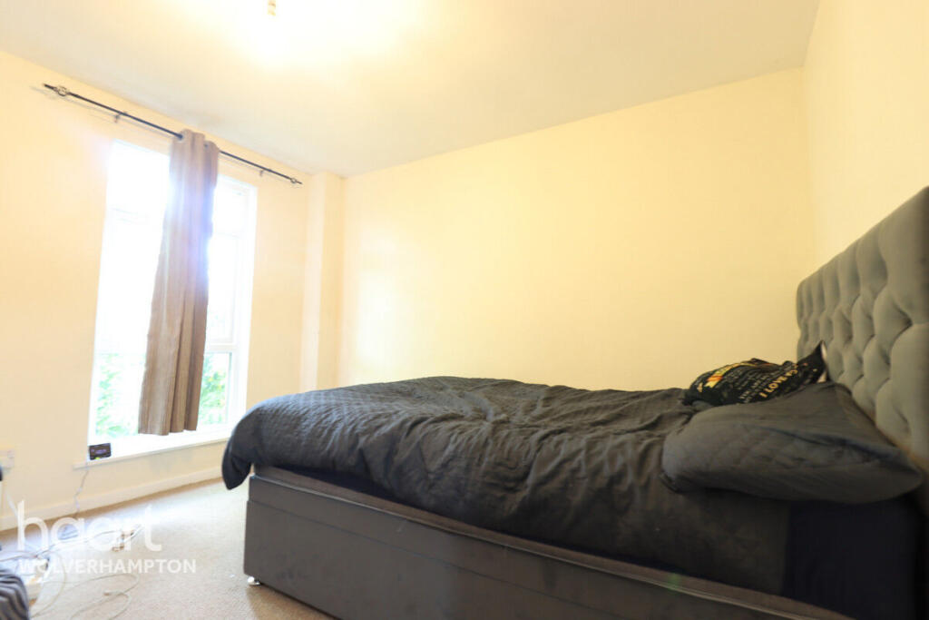
*A Large Two Bedroom Flat*
- Bedrooms
- 2
- Bathrooms
- 1
The heatmap indicates the level of crime in the area. The color of the heatmap indicates the crime severity and recency.
Metrics Year-on-Year
- Average area value
- 278,738.00 £Increased by 27.76 %
- Average area rental value
- 910.00 £/moDecreased by 21.21 %
- Est rental Yield
- 3.92 %Decreased by 38.27 %
- Crime Rate
- 5.00 %Unchanged by 0.00 %
from 218,177.00 £
from 1,155.00 £/mo
from 6.35 %
from 5.00 %
Agent Activity
haart created the listing.
Nearby Schools
| Name | Type | Ofsted | Distance |
|---|---|---|---|
| St Anthony'S Catholic Primary Academy | Academy Converter | 0.72 KM | |
| Elston Hall Primary School | Academy Converter | 0.77 KM | |
| Ormiston New Academy | Academy Sponsor Led | 0.81 KM | |
| The Marshes Children'S Centre | Children's Centre Linked Site | 1.07 KM | |
| Rakegate Primary School | Community School | Good | 1.16 KM |
Images
Nearby Streets
| Name | Average Price | Average Sqft | Distance |
|---|---|---|---|
| Headway Road | £ 0 | 0 | 0.00 KM |
| Lewisham Road | £ 0 | 0 | 0.00 KM |
| Church Road | £ 73,500 | 0 | 0.00 KM |
| Church Road | £ 275,000 | 0 | 0.00 KM |
| Aintree Road | £ 259,950 | 0 | 0.00 KM |
Nearby Transport
| Name | NLC | TLC | Distance |
|---|---|---|---|
| Wolverhampton | 1218 | WVH | 4.69 KM |
| Bilbrook | 4618 | BBK | 5.95 KM |
| Codsall | 4616 | CSL | 7.67 KM |
Nearby Listings
| Address | Price | Type | Score | Distance |
|---|---|---|---|---|
| Slade Hill, Wolverhampton | £ 795 | RENT | Unknown | 0.00 KM |
| Winchester Road, Wolverhampton | £ 1,400 | RENT | Unknown | 0.09 KM |
| Romsey Road, Wolverhampton | £ 1,400 | RENT | Unknown | 0.23 KM |
| Romsey Road, Wolverhampton, West Midlands, WV10 | £ 1,300 | RENT | Unknown | 0.23 KM |
| Winchester Road, Wolverhampton, WV10 | £ 1,300 | RENT | Unknown | 0.38 KM |
Nearby Properties
| Address | Price | Distance |
|---|---|---|
| 64 Patshull Avenue | £ 104,500 | 0.09 KM |
| 67 Patshull Avenue | £ 102,000 | 0.09 KM |
| 68 Patshull Avenue | £ 162,000 | 0.09 KM |
| 1 Romsey Grove | £ 118,071 | 0.12 KM |
| 10 Romsey Grove | £ 100,000 | 0.12 KM |