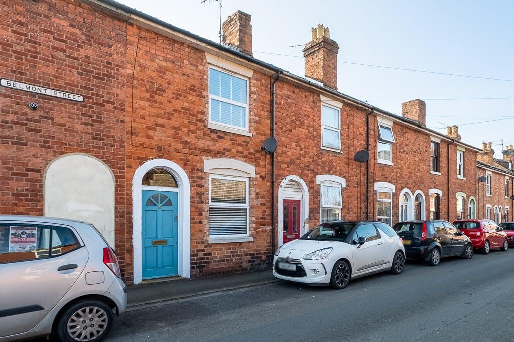
Belmont Street, Worcester, WR3
By Shelton & Lines
£ 200,000
Reviews
3 out of 5 stars
Shelton & Lines says ..
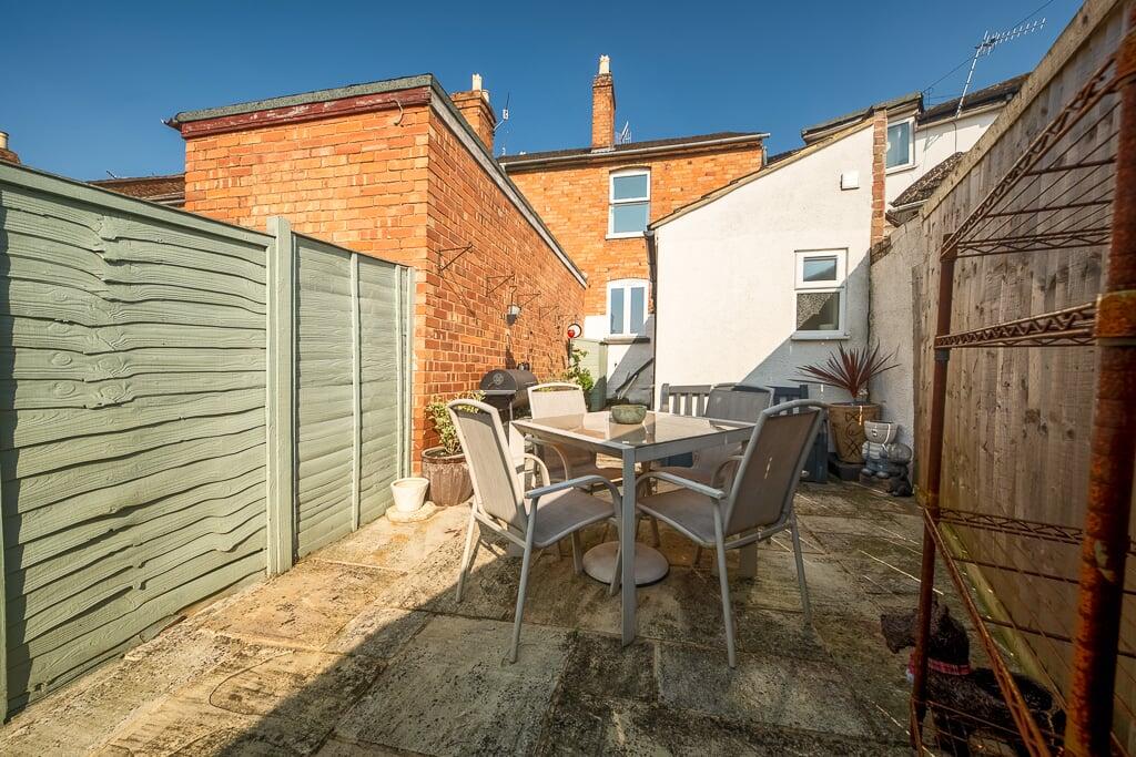
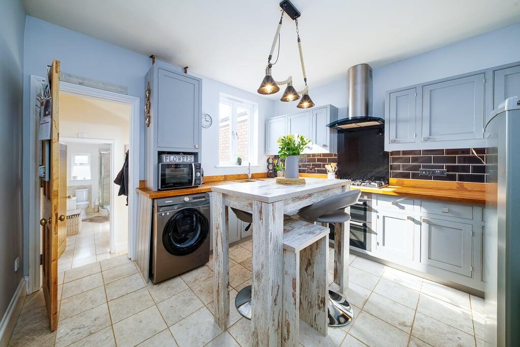
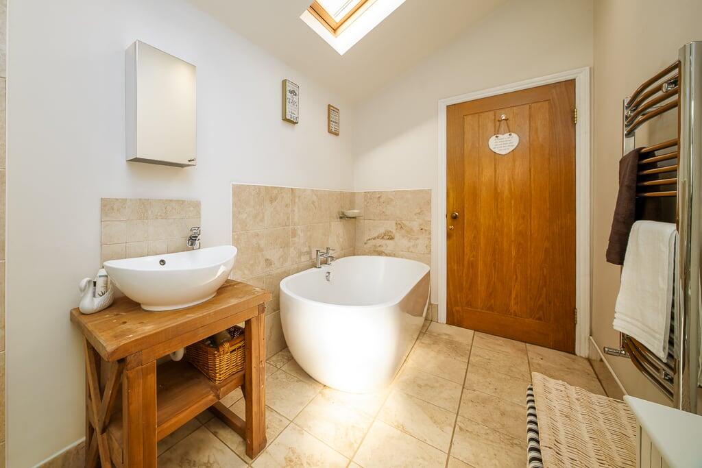
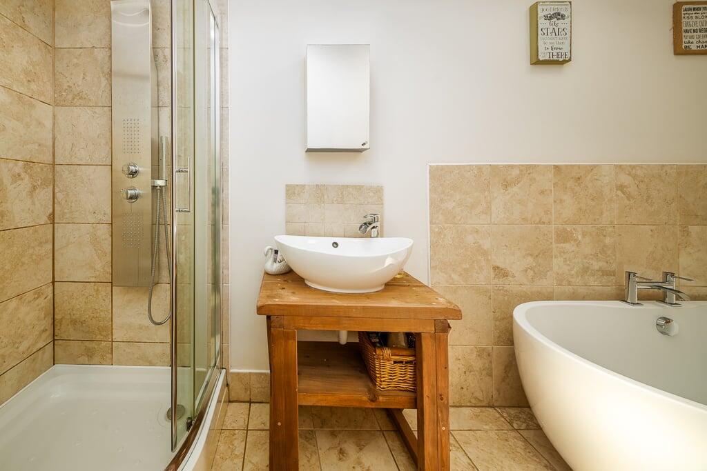
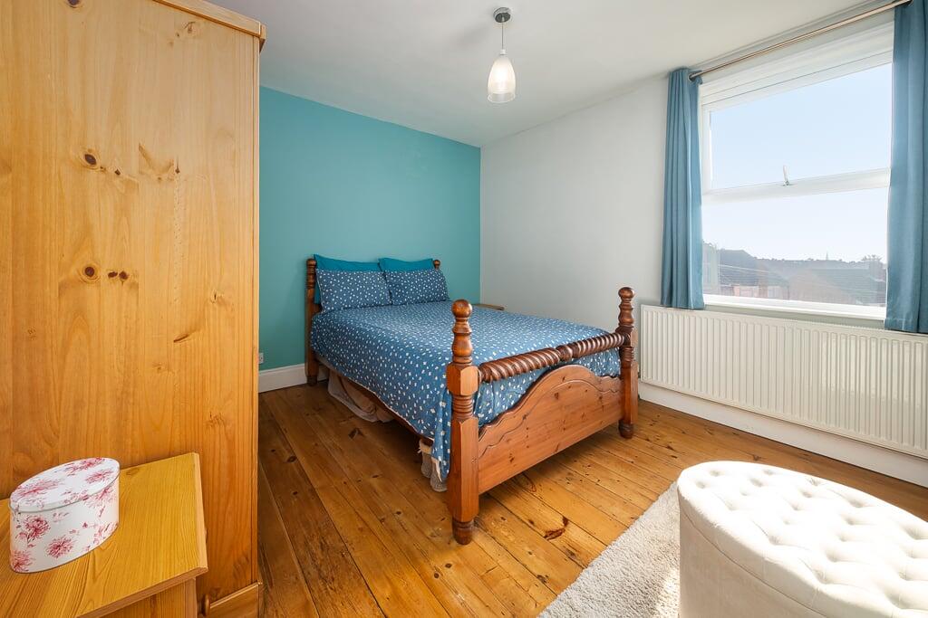
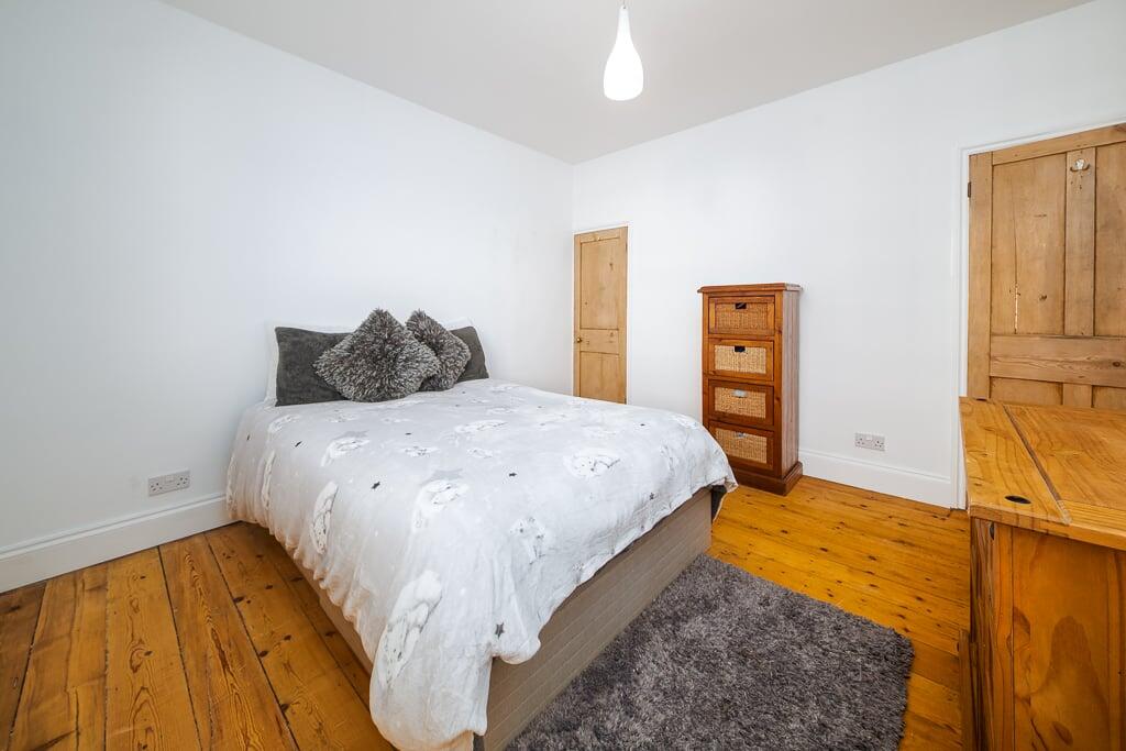
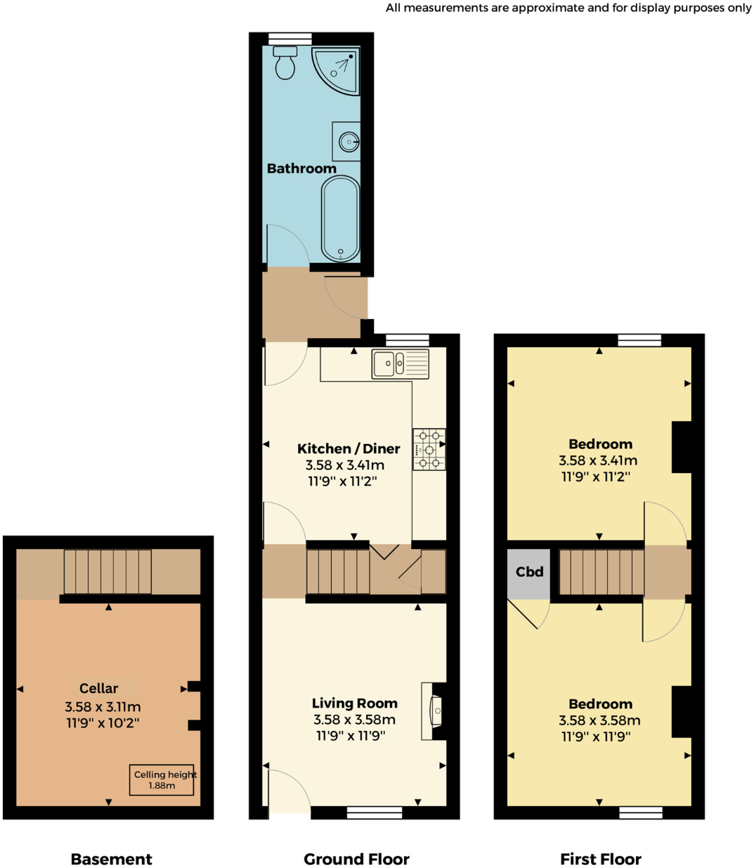
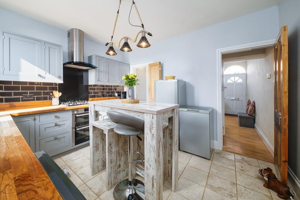
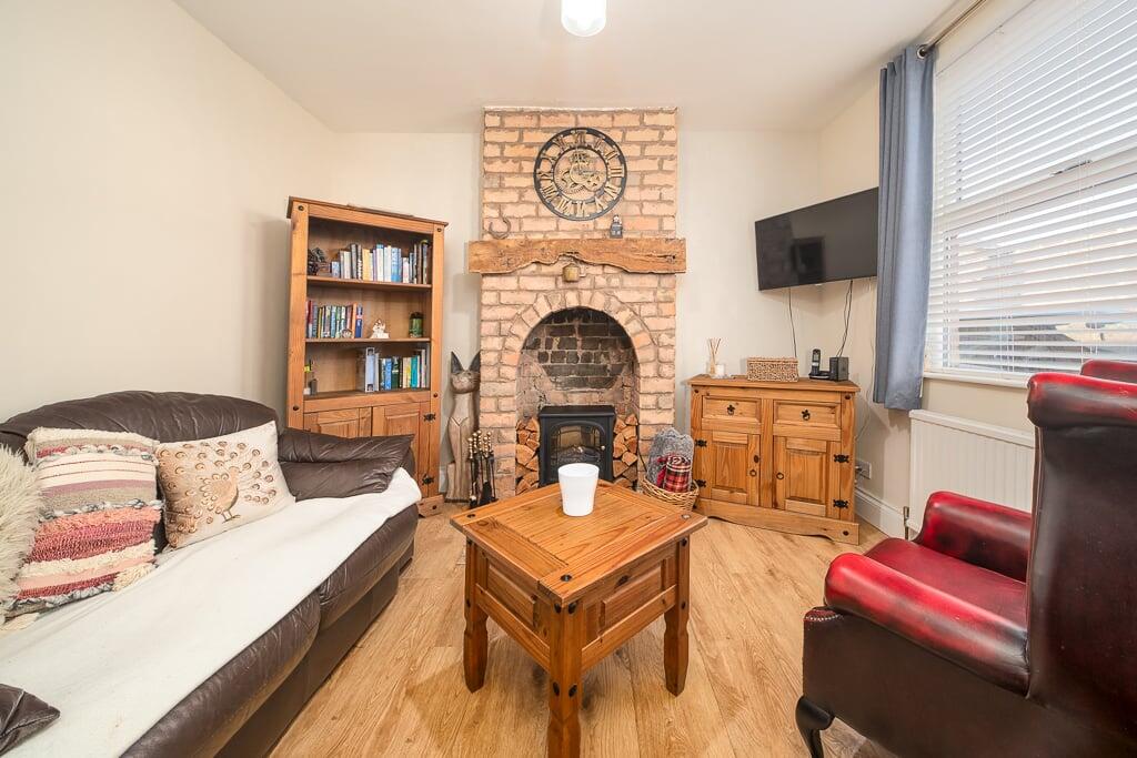
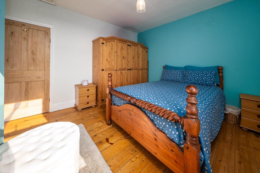
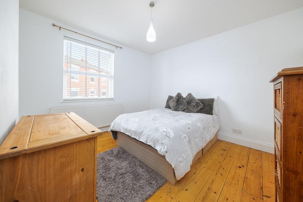
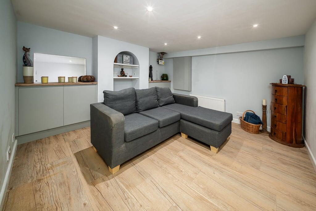
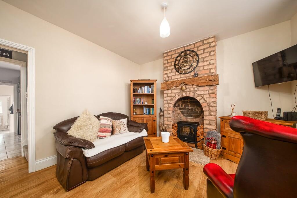
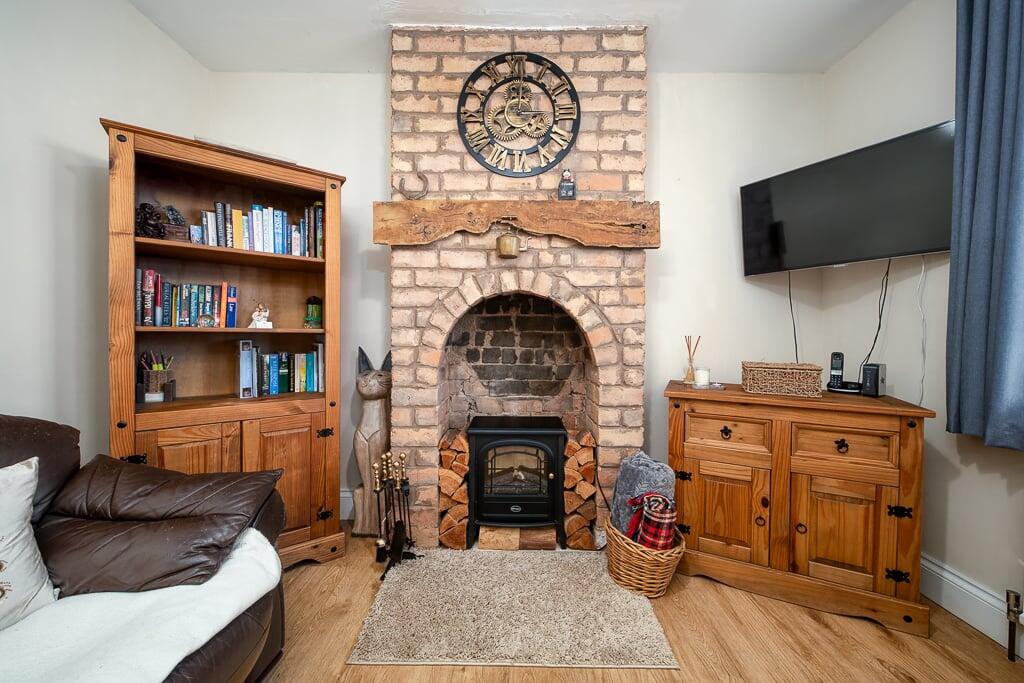
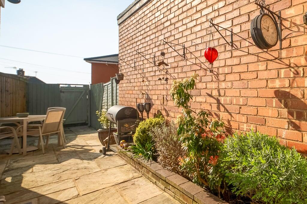
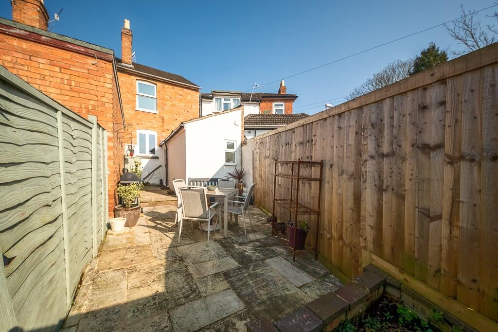
A well presented & upgraded two bedroom terrace house set to the north of the city.This improved & cared for home comprises; entrance into the sitting room, which has wood effect flooring & an inner hallway has stairs rising to the first floor landing, a feature fireplace &a...
Property Oracle says ..
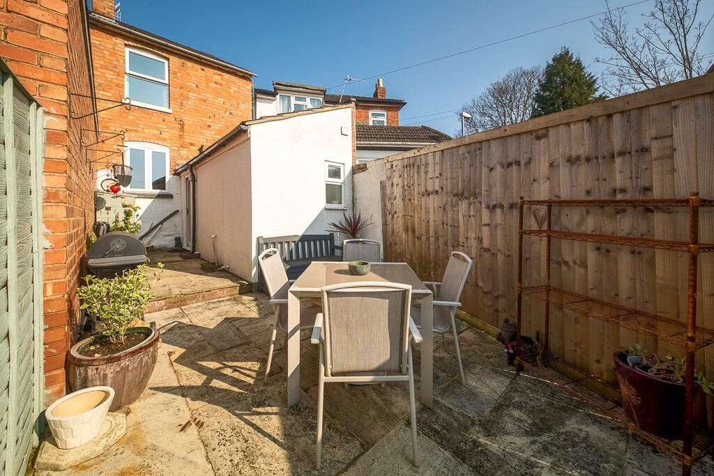
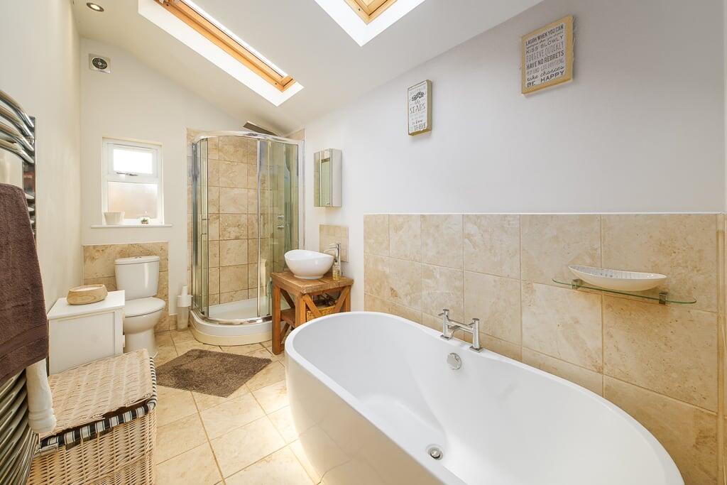
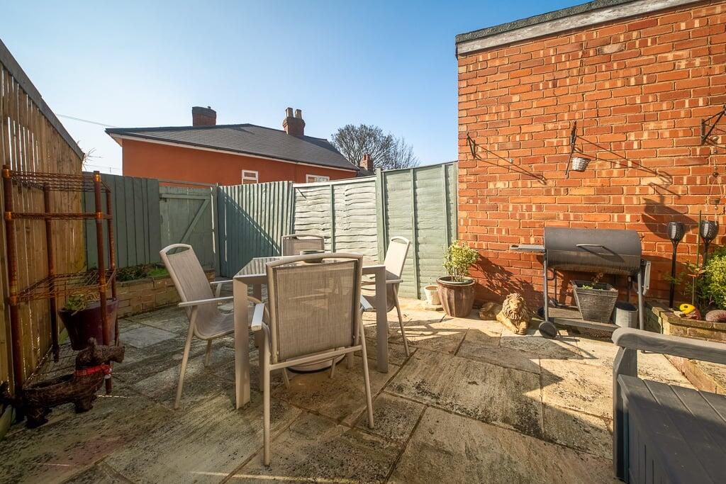
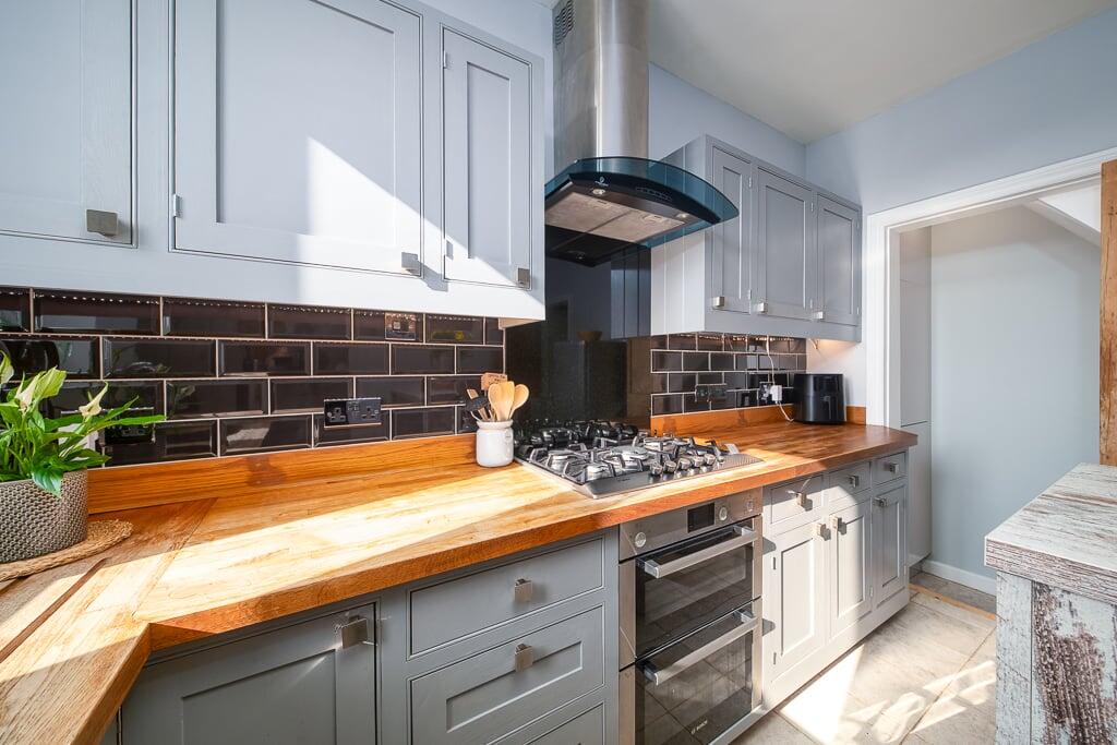
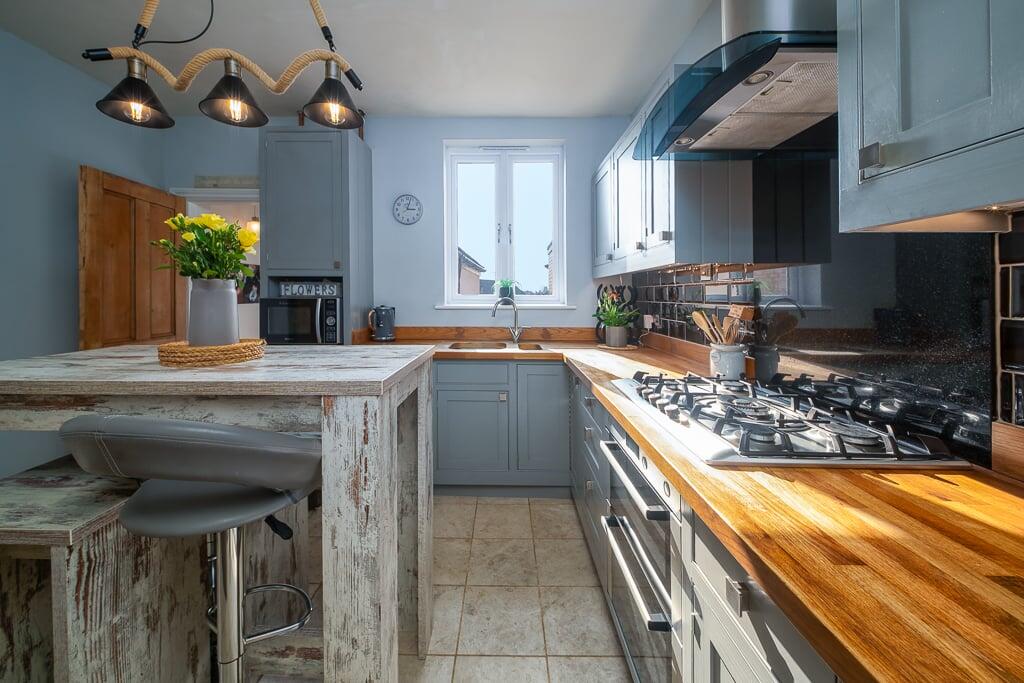
This two-bedroom terraced house in Worcester is listed at £200,000. The property benefits from a modern kitchen and bathroom, and a small, manageable rear garden. The location in Rainbow Hill offers proximity to Worcester Shrub Hill train station (0.79km) and several schools including St Barnabas Cofe Primary School (0.54km) and Bishop Perowne Cofe College (0.83km). However, the average house price in the area is significantly higher at £459,014, and the average price per sqft is £296 compared to this property’s implied price per sqft of approximately £258. Nearby comparable properties range from £160,000 to £280,000, suggesting that while the property is well-presented, the asking price may be at the higher end of the market value for a terraced house of this size in this location.
Therefore, we give this property 6 / 10. *Disclaimer: This is our option and does constitute a recommendation or financial advice. Do your own research. *
- Price
- 6
- Condition
- 8
- Location
- 7
- Land
- 4
- Bedrooms
- 2
- Bathrooms
- 1
- Sqft (est)
- 775.00
The heatmap indicates the level of crime in the area. The color of the heatmap indicates the crime severity and recency.
Metrics Year-on-Year
- Average area value
- 166,667.00 £Decreased by 22.65 %
- Est sale value
- 246,450.00 £Increased by 67.37 %
- Average area rental value
- 1,000.00 £/moIncreased by 20.05 %
- Est letting value
- 775.00 £/mo
- Est rental Yield
- 7.20 %Increased by 55.17 %
- Crime Rate
- 3.00 %Unchanged by 0.00 %
Agent Activity
Shelton & Lines created the listing.
Nearby Schools
| Name | Type | Ofsted | Distance |
|---|---|---|---|
| St Barnabas Cofe Primary School | Voluntary Controlled School | Good | 0.54 KM |
| Bishop Perowne Cofe College | Academy Converter | Good | 0.83 KM |
| Hollymount School | Academy Converter | Good | 1.08 KM |
| Stanley Road Primary School | Academy Converter | 1.23 KM | |
| Saffron Children'S Centre | Children's Centre | 1.28 KM |
Images

Nearby Streets
| Name | Average Price | Average Sqft | Distance |
|---|---|---|---|
| Mayfield Road | £ 130,000 | 0 | 0.00 KM |
| Green Lane | £ 190,000 | 0 | 0.00 KM |
| Cyril Road | £ 0 | 0 | 0.00 KM |
| Kendall Street | £ 550,000 | 0 | 0.00 KM |
| Lansdowne Crescent | £ 132,500 | 0 | 0.00 KM |
Nearby Transport
| Name | NLC | TLC | Distance |
|---|---|---|---|
| Worcester Shrub Hill | 4891 | WOS | 0.79 KM |
| Worcester Foregate Street | 4893 | WOF | 1.46 KM |
| Worcestershire Parkway | 6580 | WOP | 7.53 KM |
| Droitwich Spa | 4878 | DTW | 9.35 KM |
Nearby Listings
| Address | Price | Type | Score | Distance |
|---|---|---|---|---|
| Belmont Street, Worcester, WR3 | £ 200,000 | BUY | 6 / 10 | 0.00 KM |
| Astwood Road, WR3 | £ 225,000 | BUY | 6 / 10 | 0.05 KM |
| Belmont Street, Worcester, Worcestershire, WR3 | £ 145,000 | BUY | 6 / 10 | 0.06 KM |
| Rainbow Hill, Worcester, Worcestershire, WR3 | £ 400,000 | BUY | 7 / 10 | 0.06 KM |
| Vicar Street, Worcester, WR3 | £ 210,000 | BUY | 6 / 10 | 0.09 KM |
Nearby Properties
| Address | Price | Distance |
|---|---|---|
| 15 Astwood Road | £ 212,000 | 0.05 KM |
| 5 Astwood Road | £ 160,000 | 0.05 KM |
| 9 Astwood Road | £ 190,000 | 0.05 KM |
| 7 Astwood Road | £ 167,500 | 0.05 KM |
| Elvet | £ 156,500 | 0.09 KM |