
Kensington Road, Southport, Merseyside, PR9
By Hashtag Estates
£ 340,000
Reviews
3 out of 5 stars
Hashtag Estates says ..
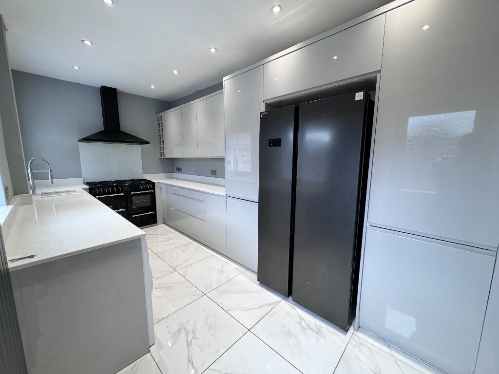
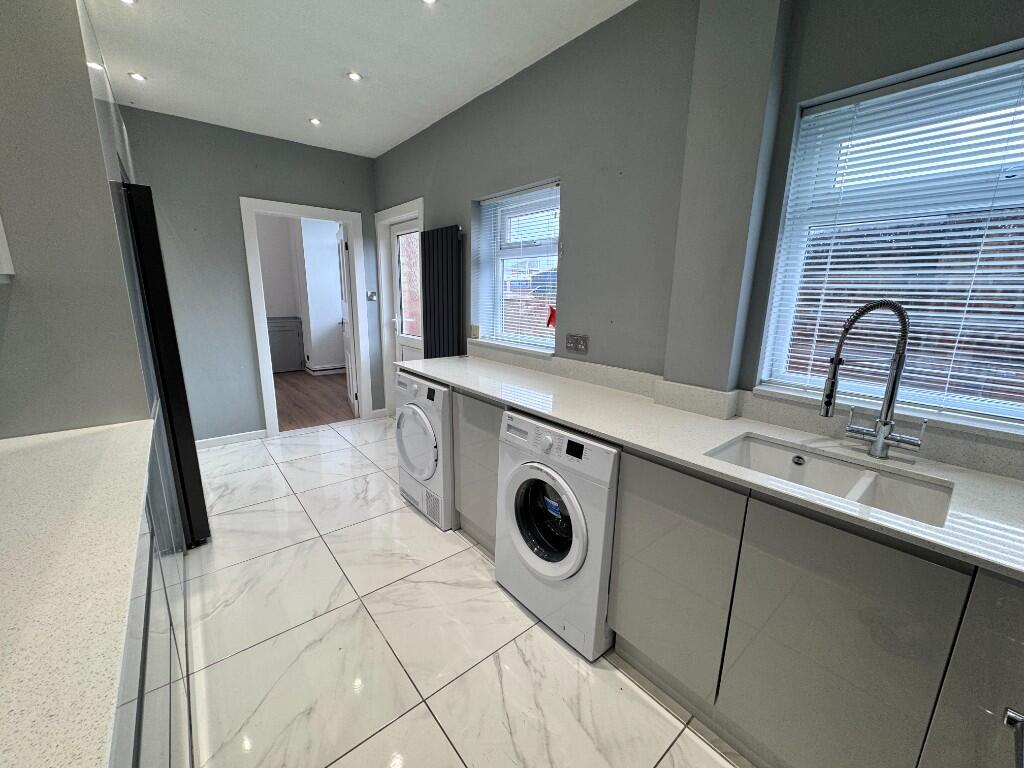
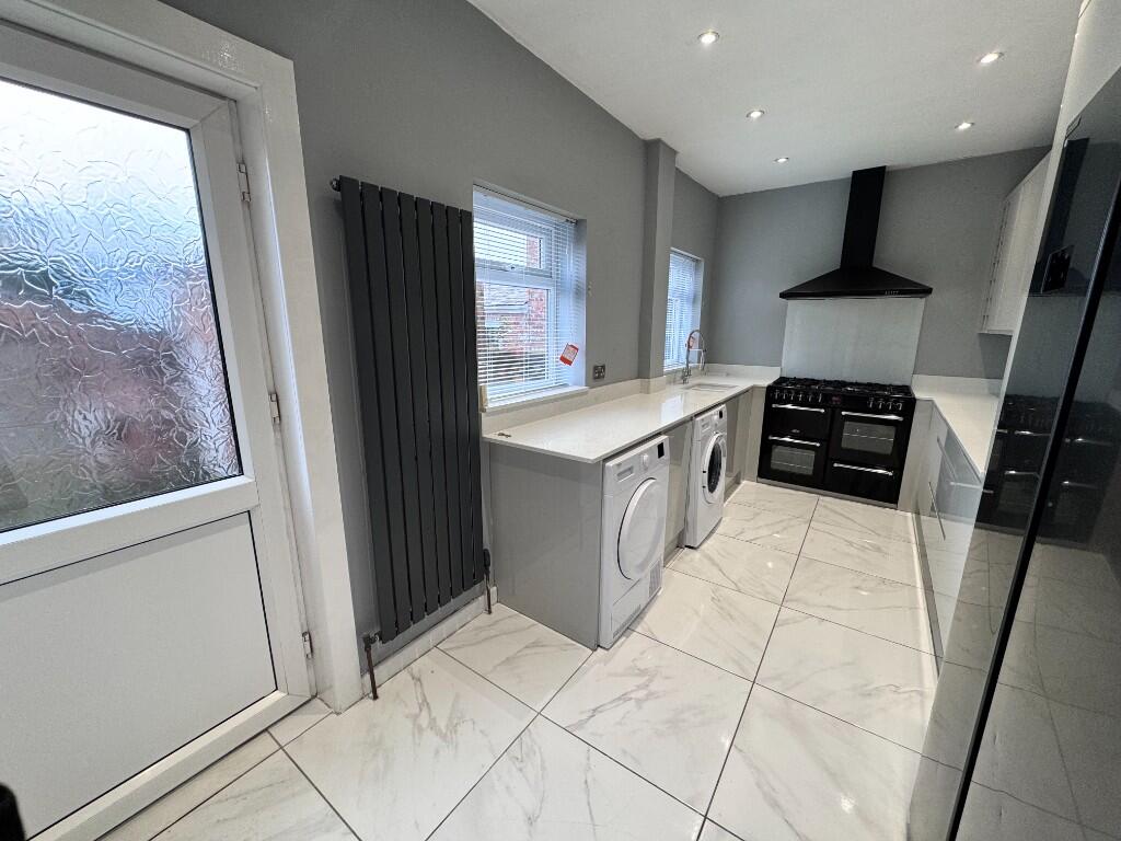
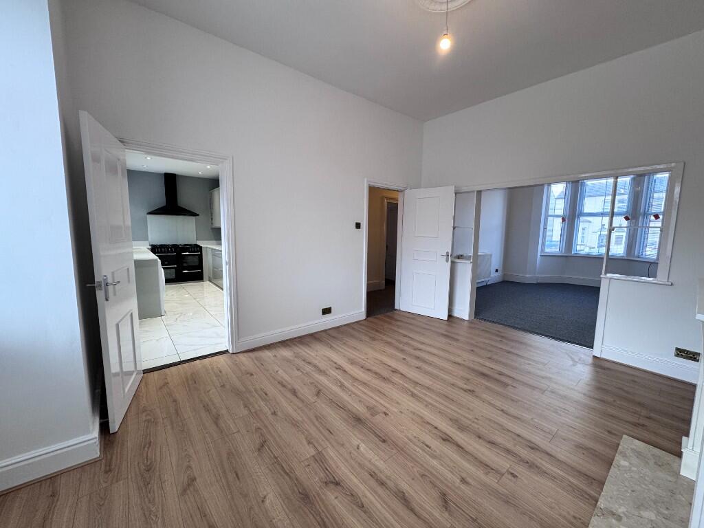
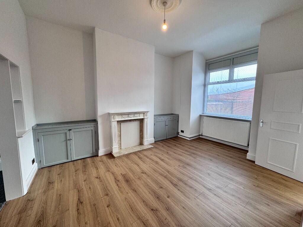
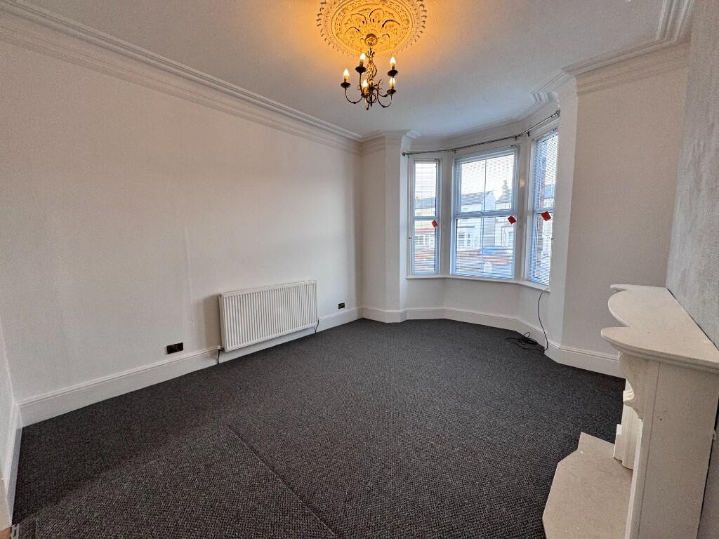
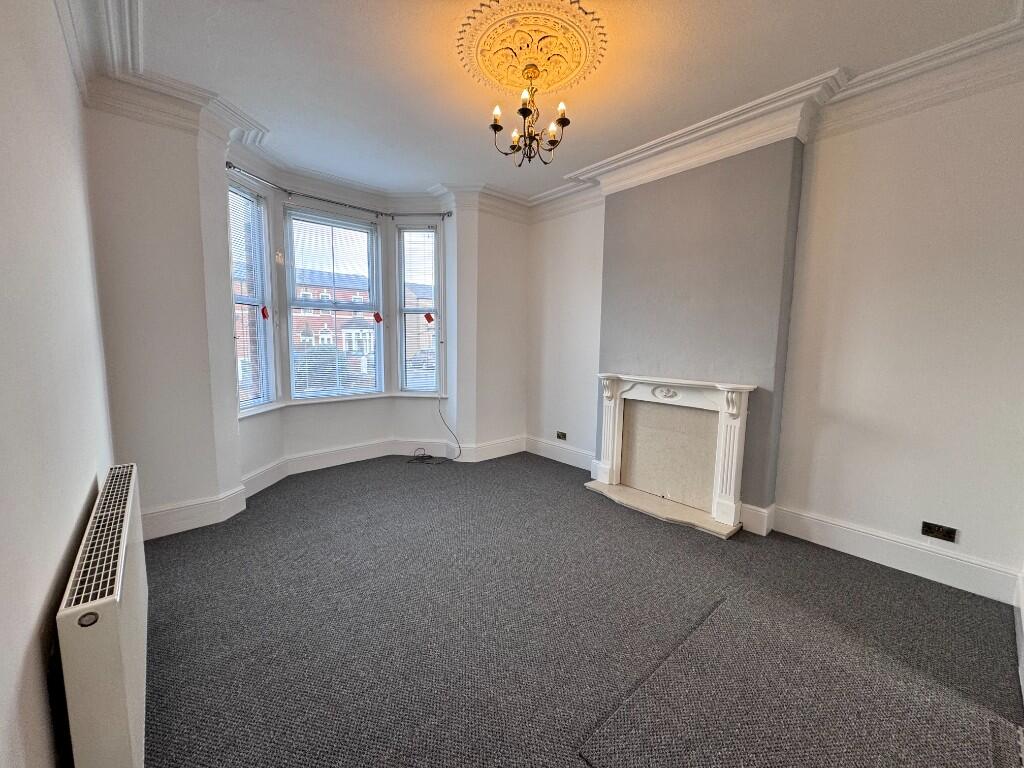
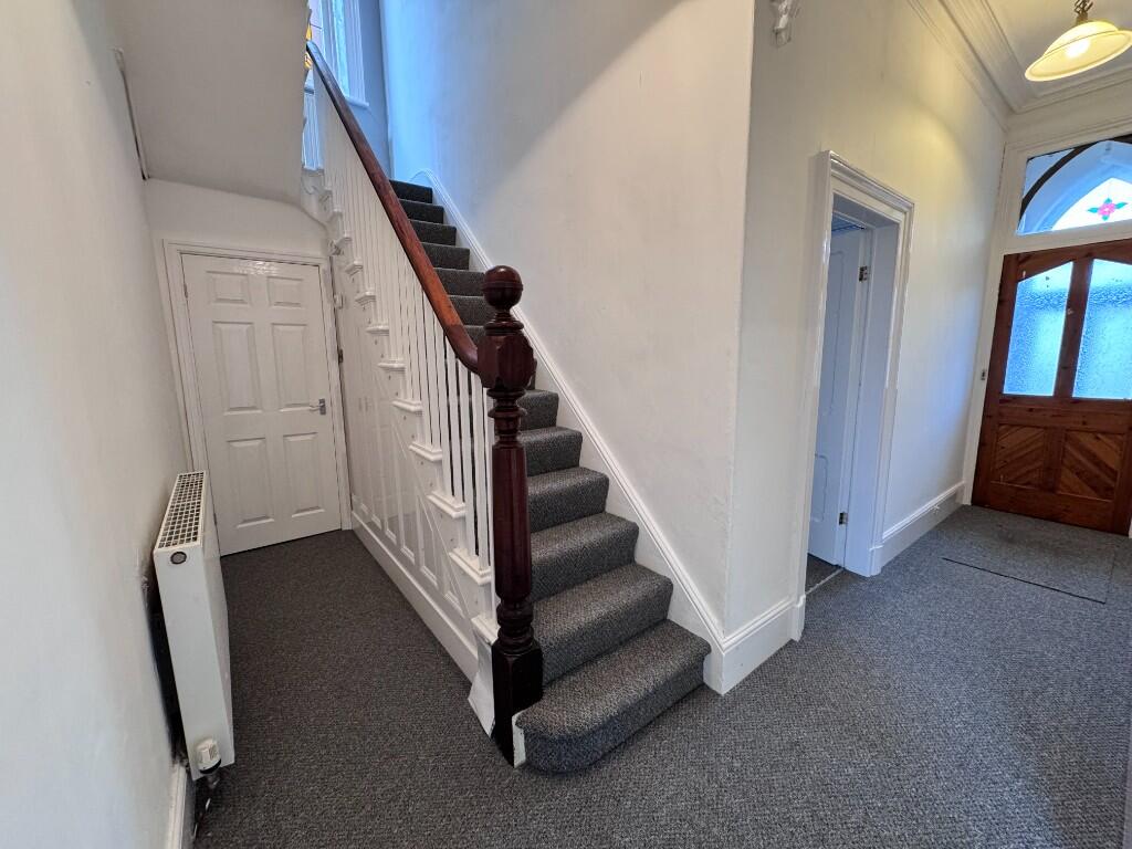
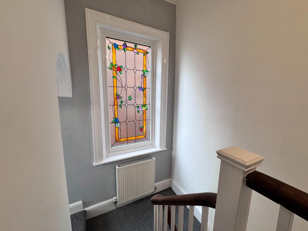
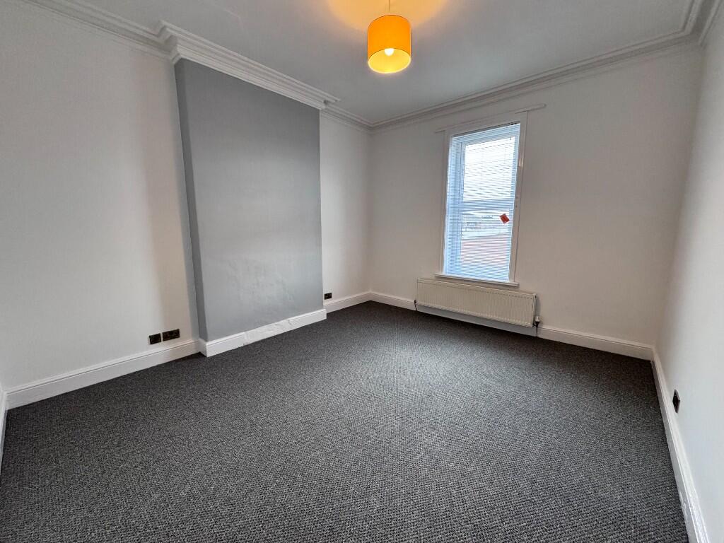
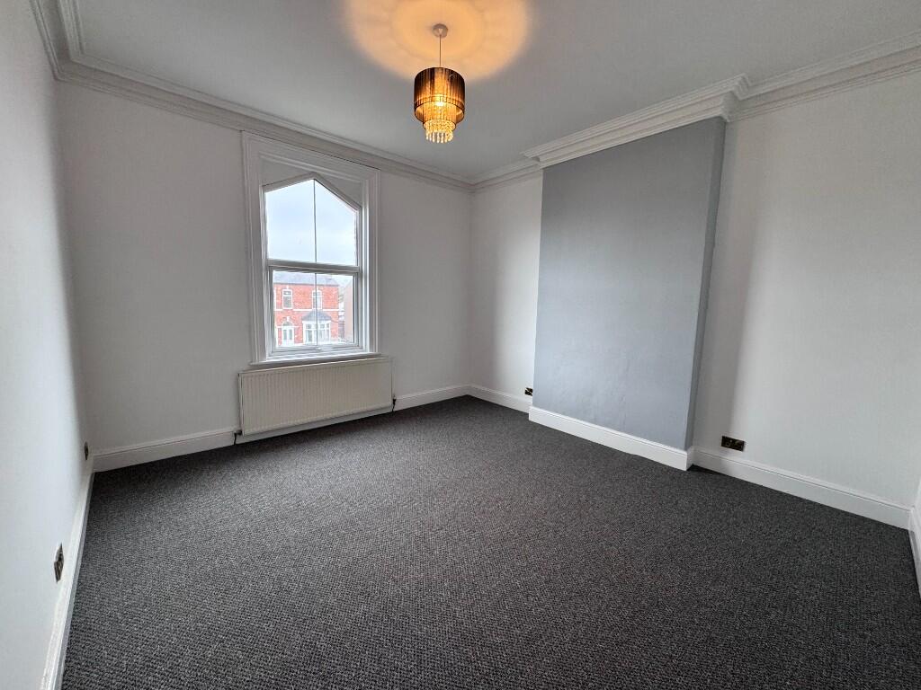
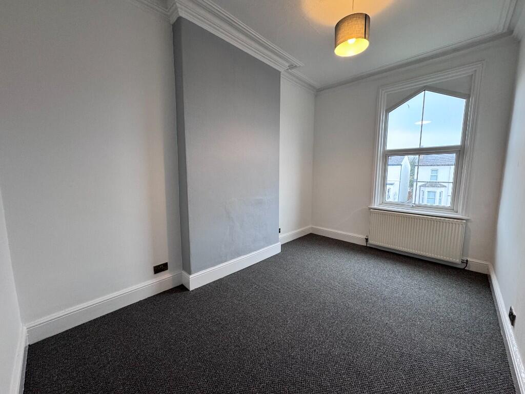
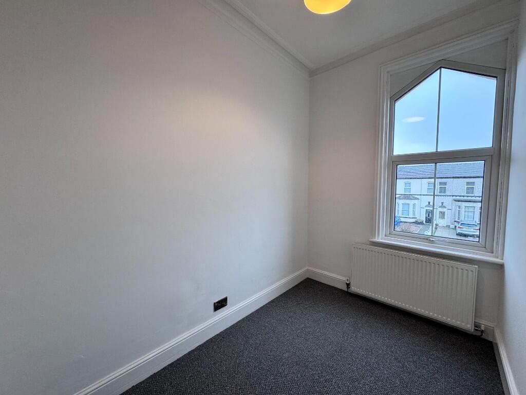
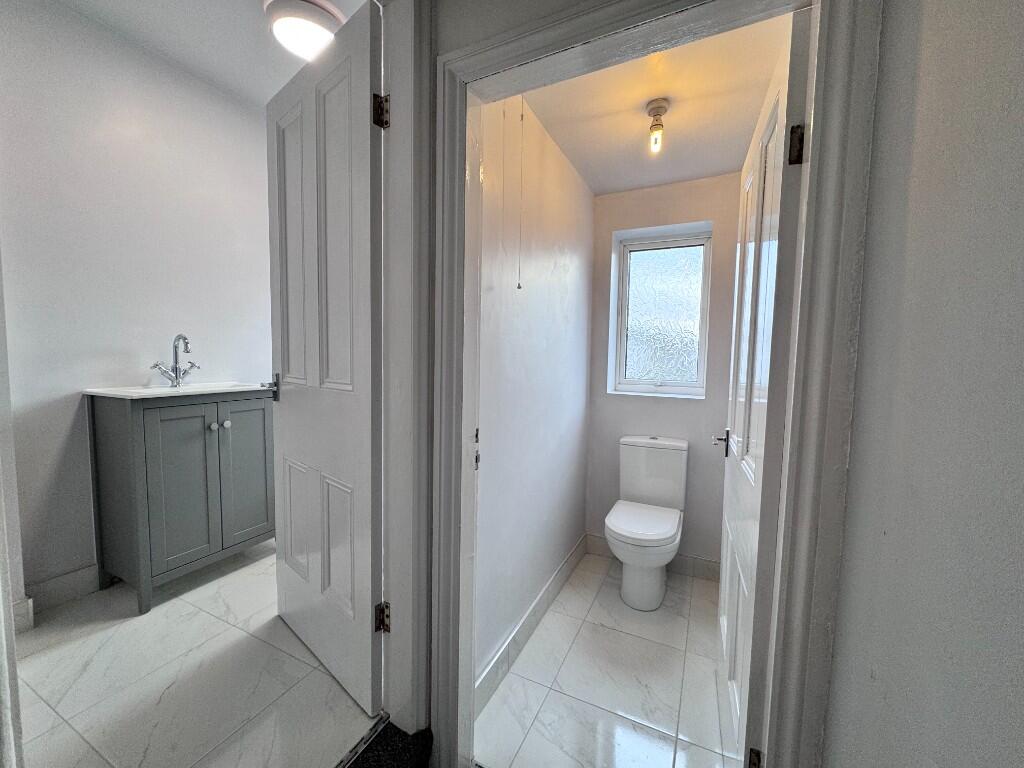
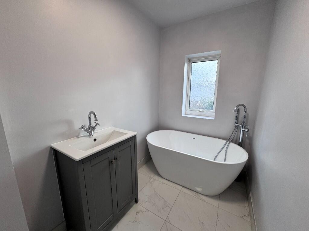
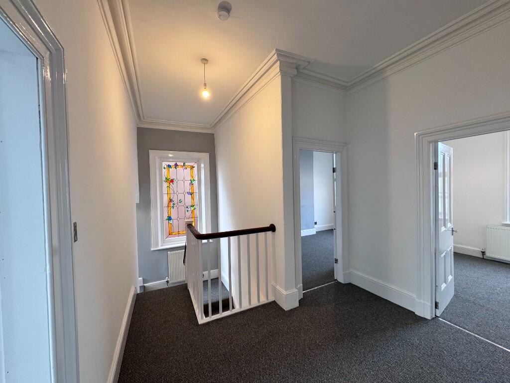
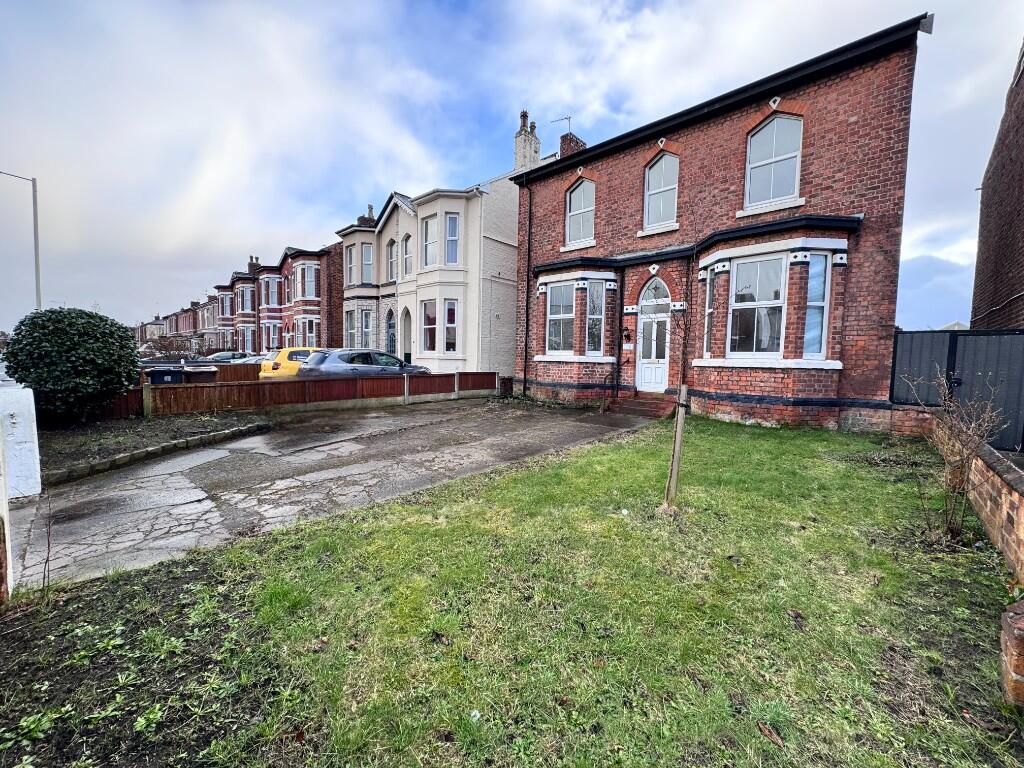
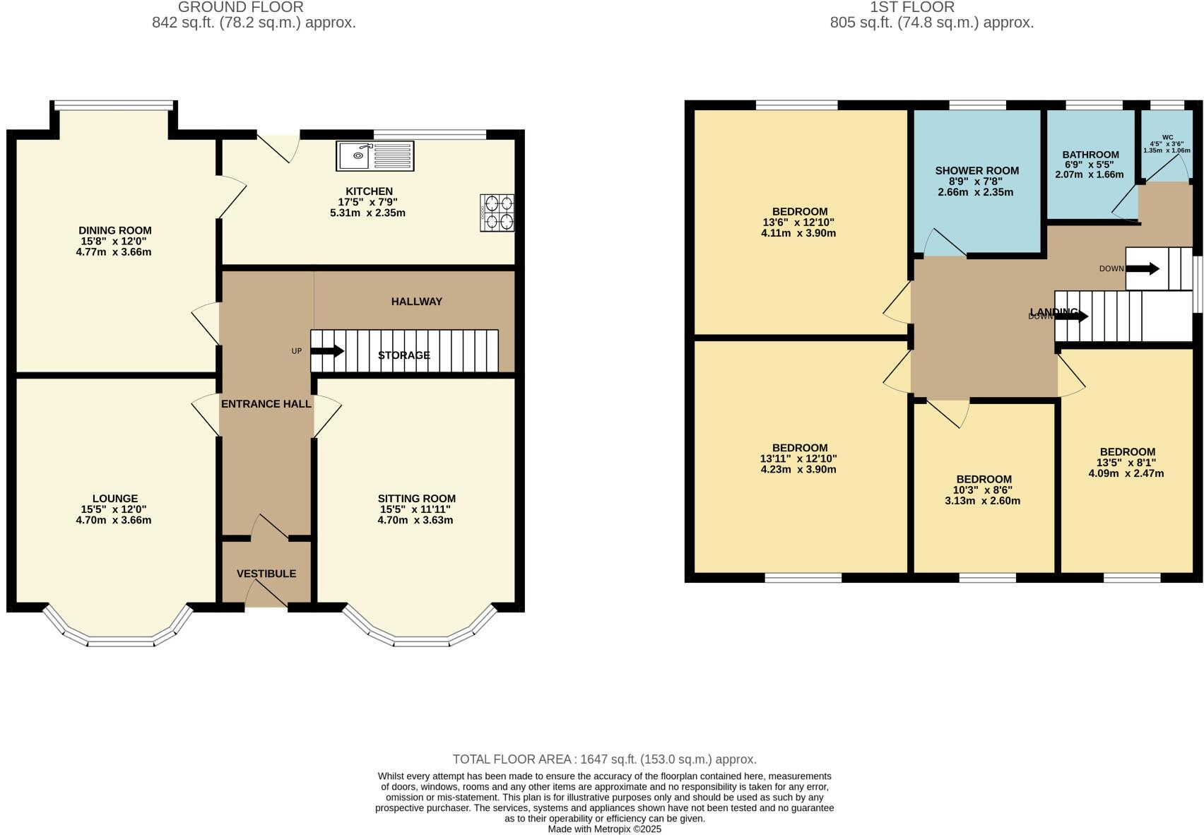
Welcome to Kensington Road, a beautifully renovated double-fronted detached home in the heart of Southport. This stylish and modern four-bedroom, two-bathroom property offers the perfect blend of contemporary living and classic charm.
Property Oracle says ..
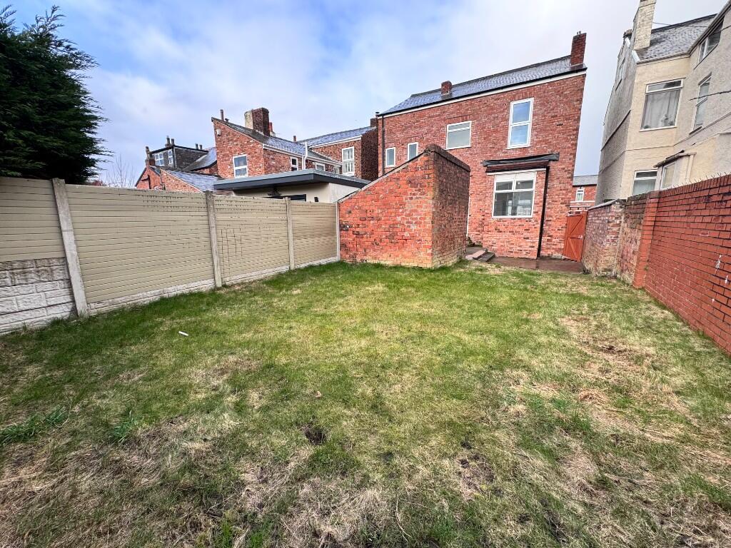
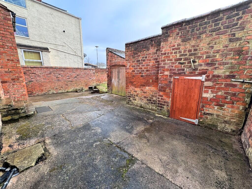
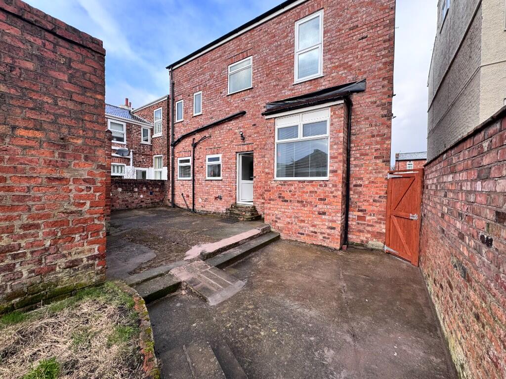
The property is a four-bedroom, two-bathroom detached house in Southport, Merseyside. Its location on Kensington Road places it within proximity to several amenities. Arden College, Southport College, and several primary schools are within a short distance, making it potentially attractive to families. The nearby Southport Merseyrail station offers convenient access to public transportation. The images reveal that the property has undergone a significant renovation, particularly in the kitchen and bathrooms. These spaces appear modern and well-maintained. While the exterior shows some signs of age, consistent with the architectural style of the building, the interior is presented in excellent condition. The garden is relatively small, but still offers some outdoor space. Considering the average house price in the area is £241,449 and the average price per square foot is £229, the listed price of £340,000 requires further consideration. Without knowing the square footage of this property, a definitive statement on value cannot be made. However, the extensive renovations and the location could justify a higher price than the average for the area. Further investigation into comparable properties with similar renovations and plot sizes in the Kensington Road area would be needed to make a more accurate assessment of the property’s value.
Therefore, we give this property 7 / 10. *Disclaimer: This is our option and does constitute a recommendation or financial advice. Do your own research. *
- Price
- 7
- Condition
- 9
- Location
- 8
- Land
- 4
- Bedrooms
- 4
- Bathrooms
- 2
- Sqft (est)
- 1,372.40
- Lot (est)
- 1,646.88
The heatmap indicates the level of crime in the area. The color of the heatmap indicates the crime severity and recency.
Metrics Year-on-Year
- Average area value
- 273,000.00 £Increased by 27.13 %
- Est sale value
- 307,417.60 £Increased by 16.06 %
- Average area rental value
- 938.00 £/moDecreased by 8.75 %
- Est letting value
- 0.00 £/mo
- Est rental Yield
- 4.12 %Decreased by 28.22 %
- Crime Rate
- 3.00 %Unchanged by 0.00 %
Agent Activity
Hashtag Estates created the listing.
Nearby Schools
| Name | Type | Ofsted | Distance |
|---|---|---|---|
| Arden College | Special Post 16 Institution | Good | 0.18 KM |
| Parenting 2000 Children'S Centre | Children's Centre Linked Site | 0.29 KM | |
| Southport College | Further Education | Good | 0.38 KM |
| Holy Trinity Church Of England Primary School, Southport | Academy Converter | 0.44 KM | |
| St Philip'S Church Of England Primary School | Voluntary Aided School | Good | 0.54 KM |
Images


Nearby Streets
| Name | Average Price | Average Sqft | Distance |
|---|---|---|---|
| Hall Street | £ 0 | 0 | 0.00 KM |
| Sussex Road | £ 0 | 0 | 0.00 KM |
| Manchester Road | £ 177,000 | 0 | 0.00 KM |
| Leicester Street | £ 330,000 | 0 | 0.00 KM |
| Chapel Street | £ 0 | 0 | 0.00 KM |
Nearby Transport
| Name | NLC | TLC | Distance |
|---|---|---|---|
| Southport | 2262 | SOP | 0.82 KM |
| Meols Cop | 2357 | MEC | 2.13 KM |
| Birkdale | 2352 | BDL | 2.54 KM |
| Hillside | 2231 | HIL | 4.23 KM |
| Ainsdale | 2350 | ANS | 7.20 KM |
Nearby Listings
| Address | Price | Type | Score | Distance |
|---|---|---|---|---|
| Kensington Road, Southport, Merseyside, PR9 | £ 340,000 | BUY | 7 / 10 | 0.00 KM |
| Church Street, Southport | £ 325,000 | BUY | Unknown | 0.21 KM |
| The Residences at European House 28-30 Hall Street, Southport, PR9 | £ 154,995 | BUY | 7 / 10 | 0.22 KM |
| The Residences at European House 28-30 Hall Street, Southport, PR9 | £ 195,000 | BUY | 7 / 10 | 0.22 KM |
| The Residences at European House 28-30 Hall Street, Southport PR9 | £ 99,950 | BUY | 7 / 10 | 0.22 KM |
Nearby Properties
| Address | Price | Distance |
|---|---|---|
| 5 Kensington Road | £ 134,000 | 0.00 KM |
| 11 Kensington Road | £ 137,500 | 0.00 KM |
| 18 Kensington Road | £ 170,000 | 0.00 KM |
| 16 Kensington Road | £ 228,000 | 0.00 KM |
| 15 Kensington Road | £ 155,000 | 0.00 KM |