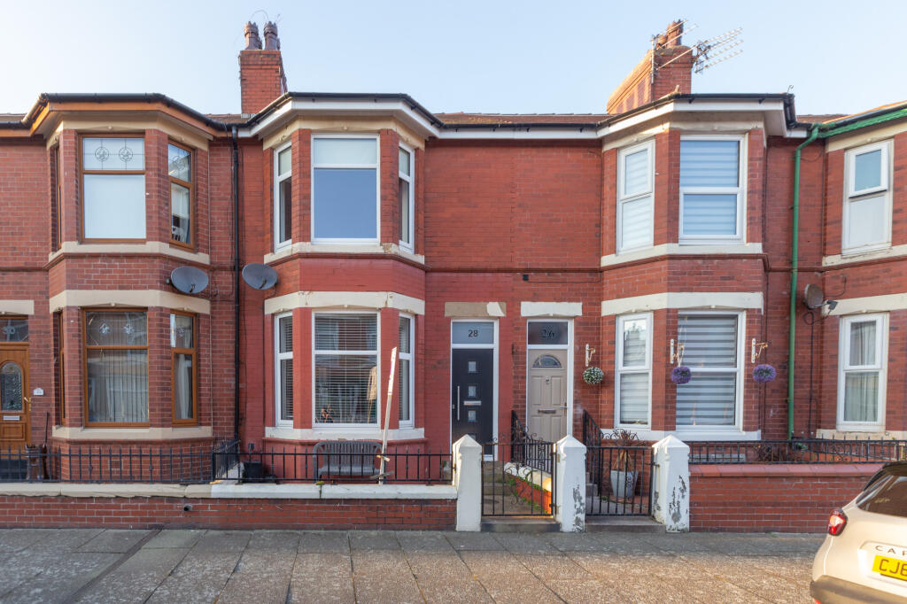
Burns Road, Fleetwood, FY7
By Unique Estate Agency Ltd
£ 155,000
Reviews
3 out of 5 stars
Unique Estate Agency Ltd says ..
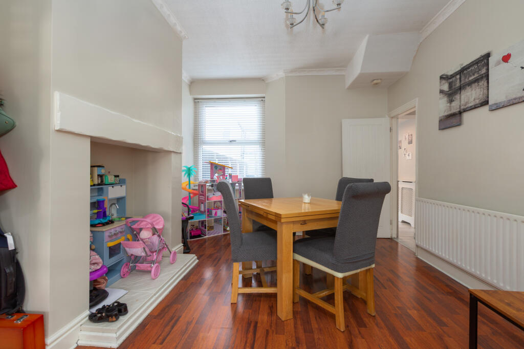
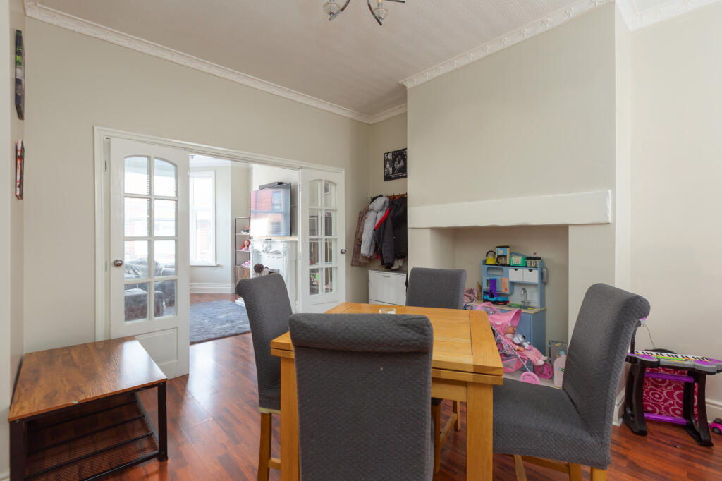
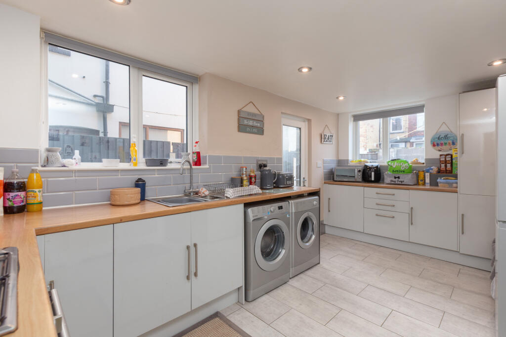
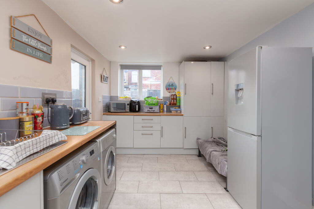
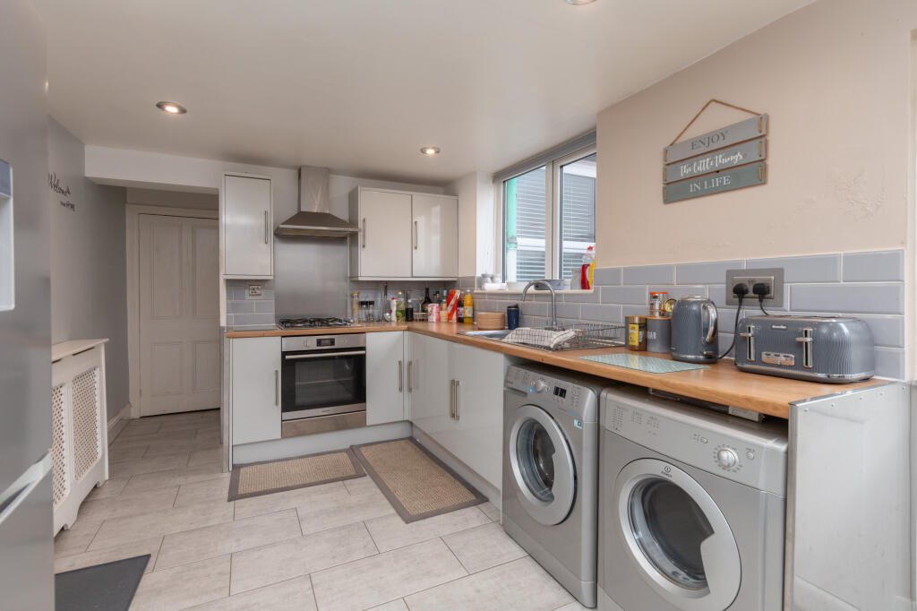
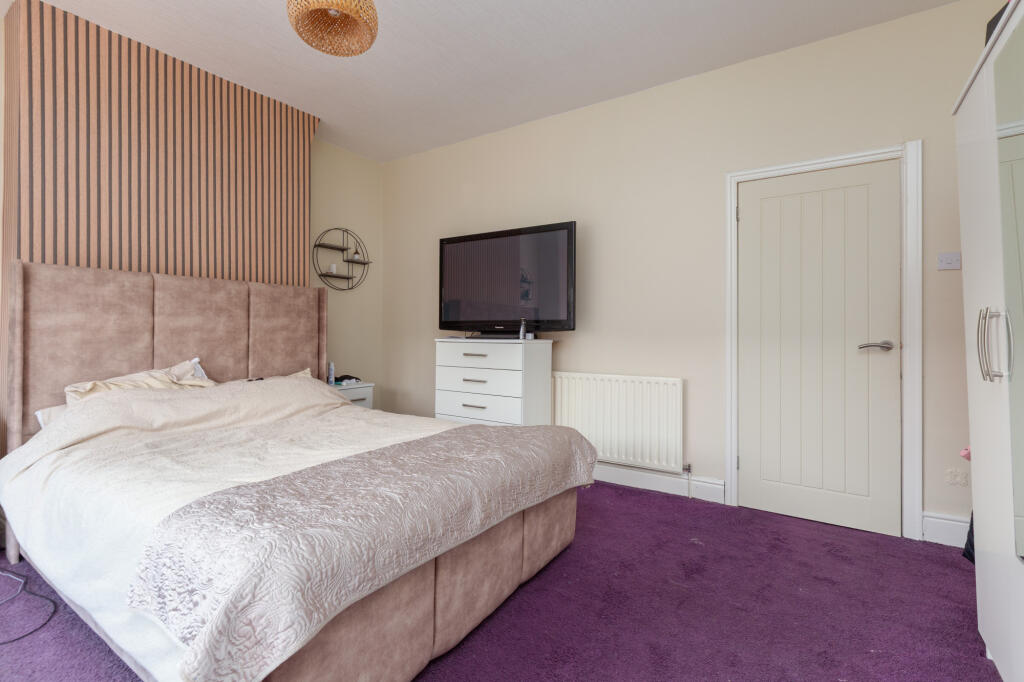
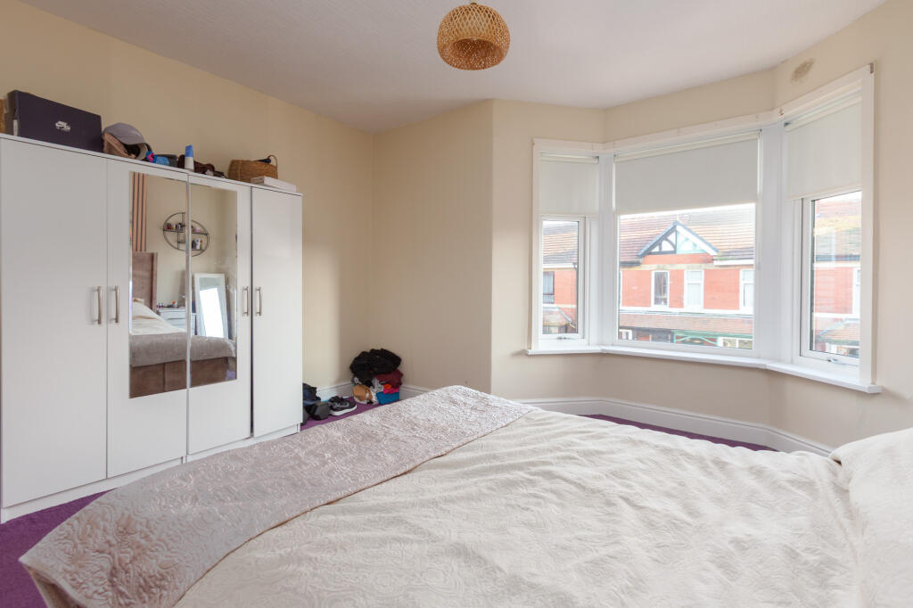
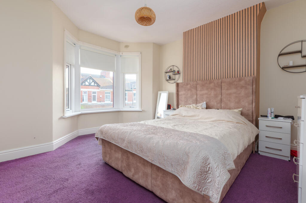
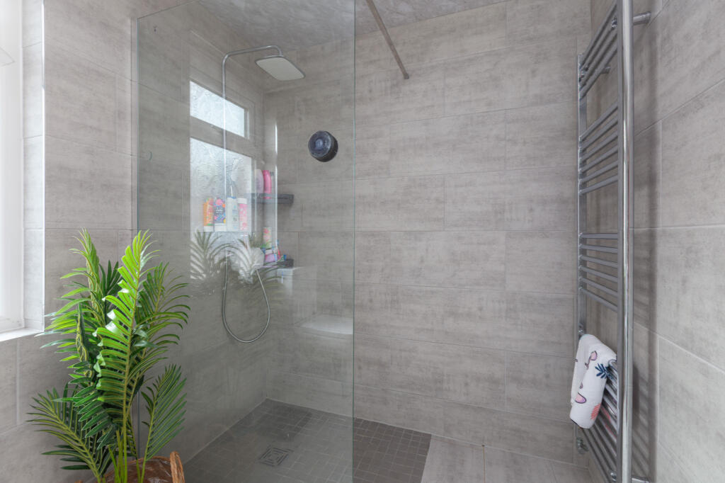
This beautifully presented 3-bed mid-terrace on Burns Road, Fleetwood offers spacious living, a modern kitchen and shower room, and a low-maintenance yard. Close to the promenade, schools, and transport links, it's ideal for families, first-time buyers, or investors. Ready to move into!
Property Oracle says ..
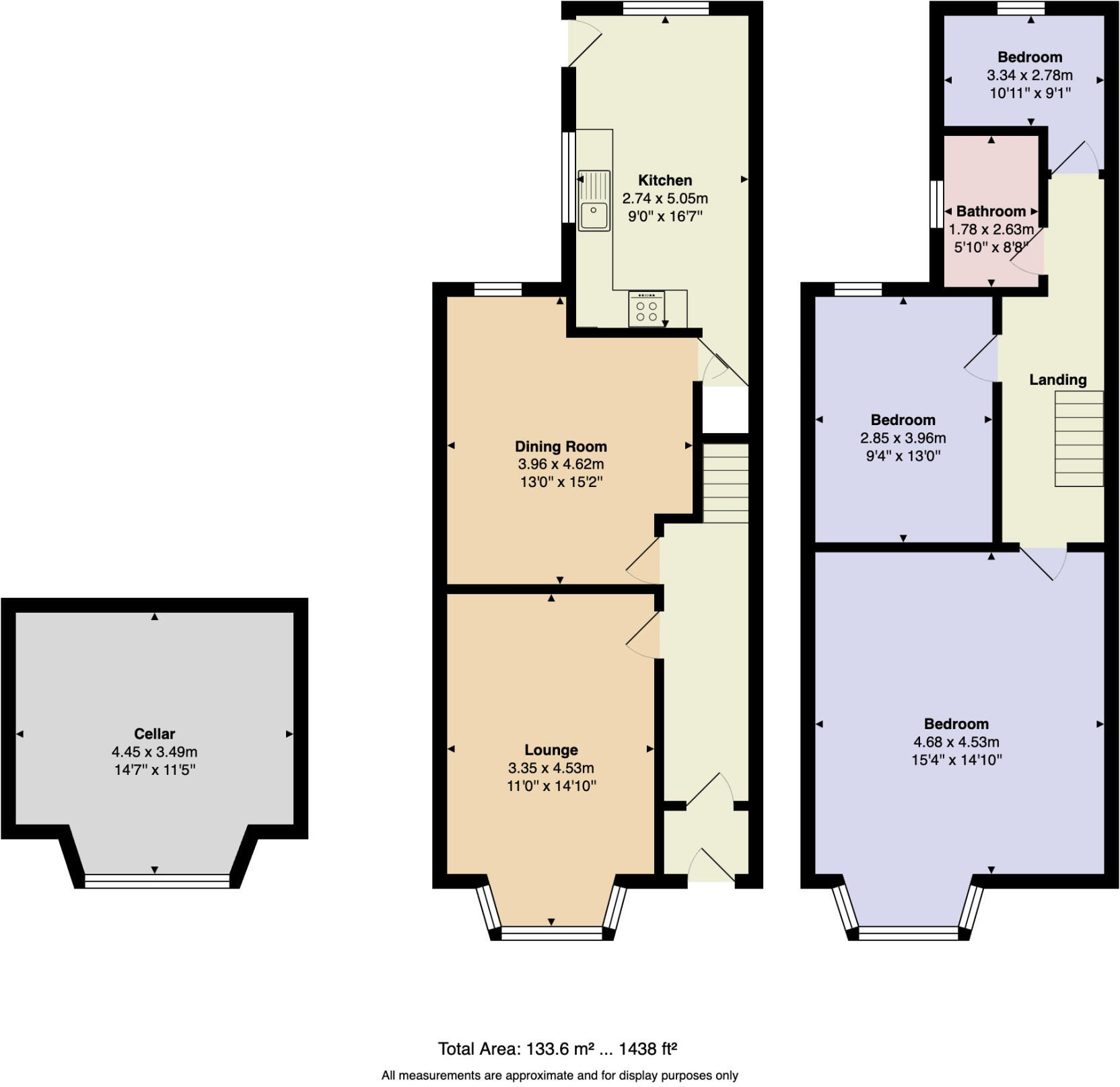
The property is a 3-bedroom terraced house located on Burns Road in Fleetwood, Lancashire. It has a plot size of 1,438 sqft and is listed at £155,000. The average house price in the area is £106,942, with an average price per sqft of £148. This property is significantly larger than average at 1369 sqft.
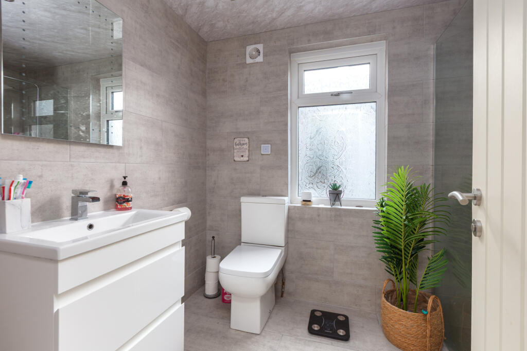
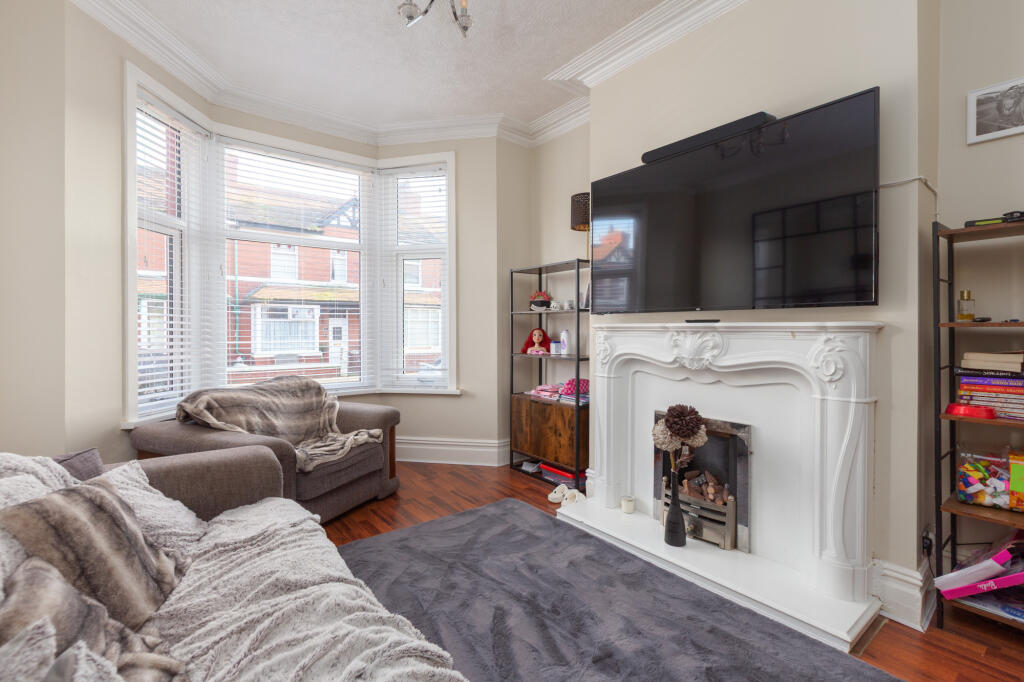
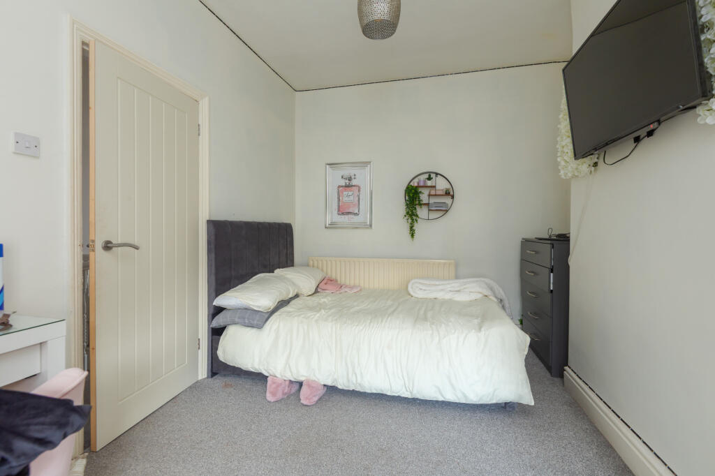
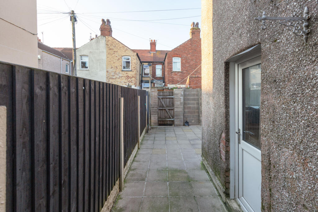
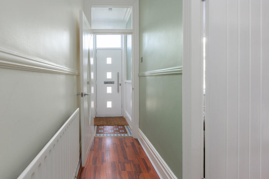
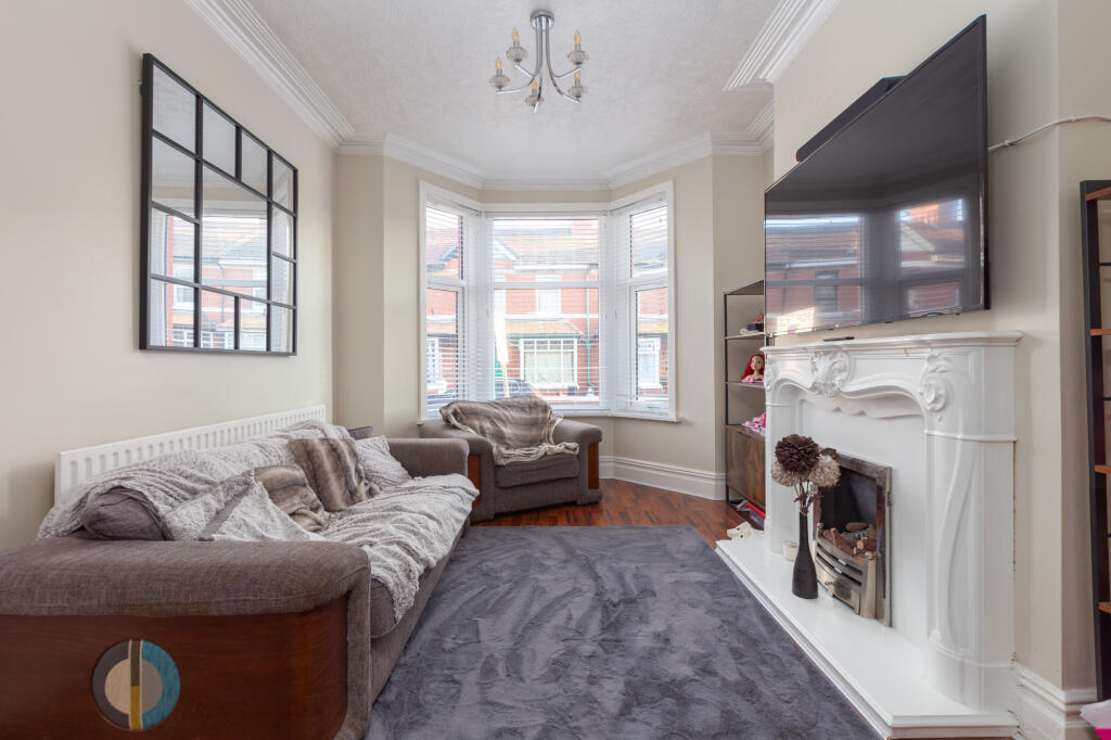
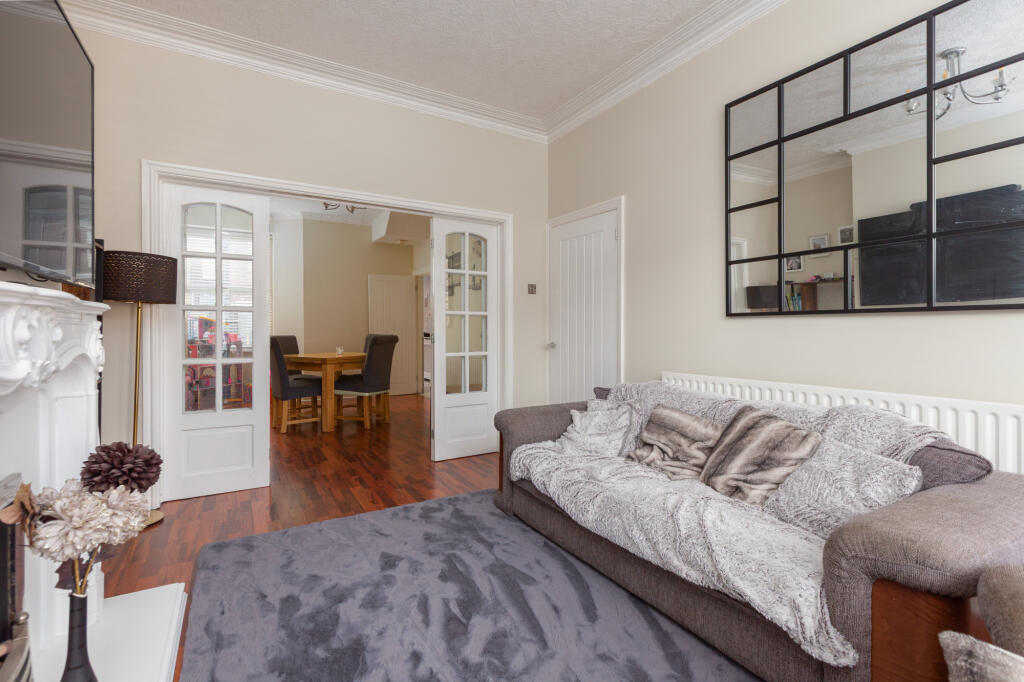
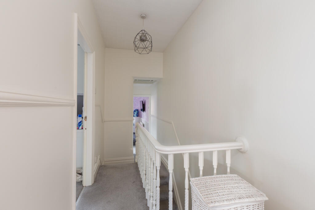
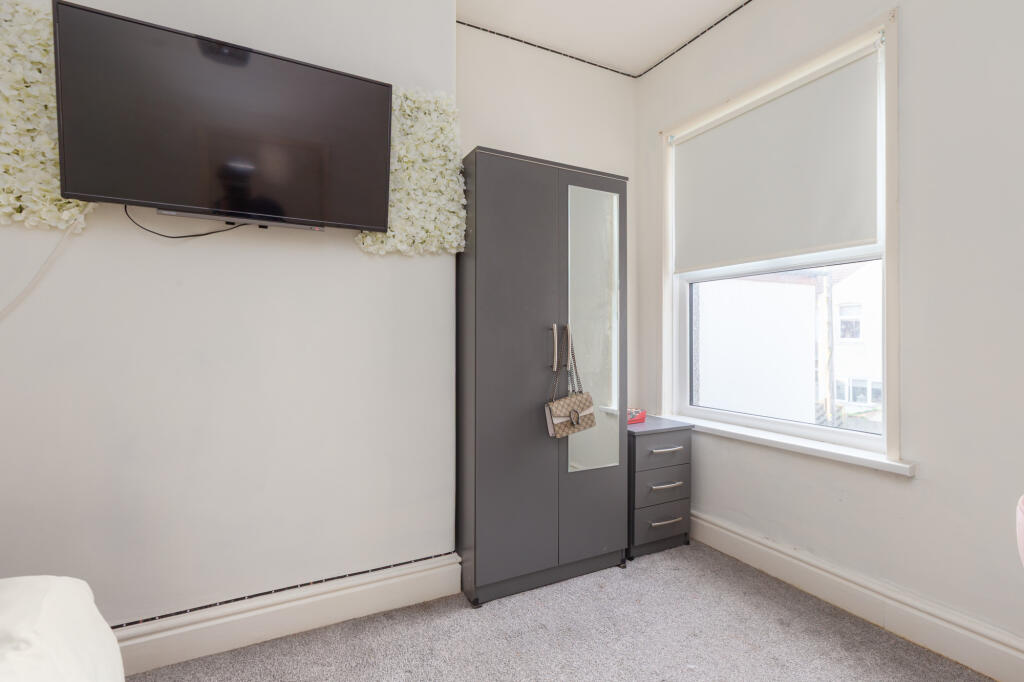
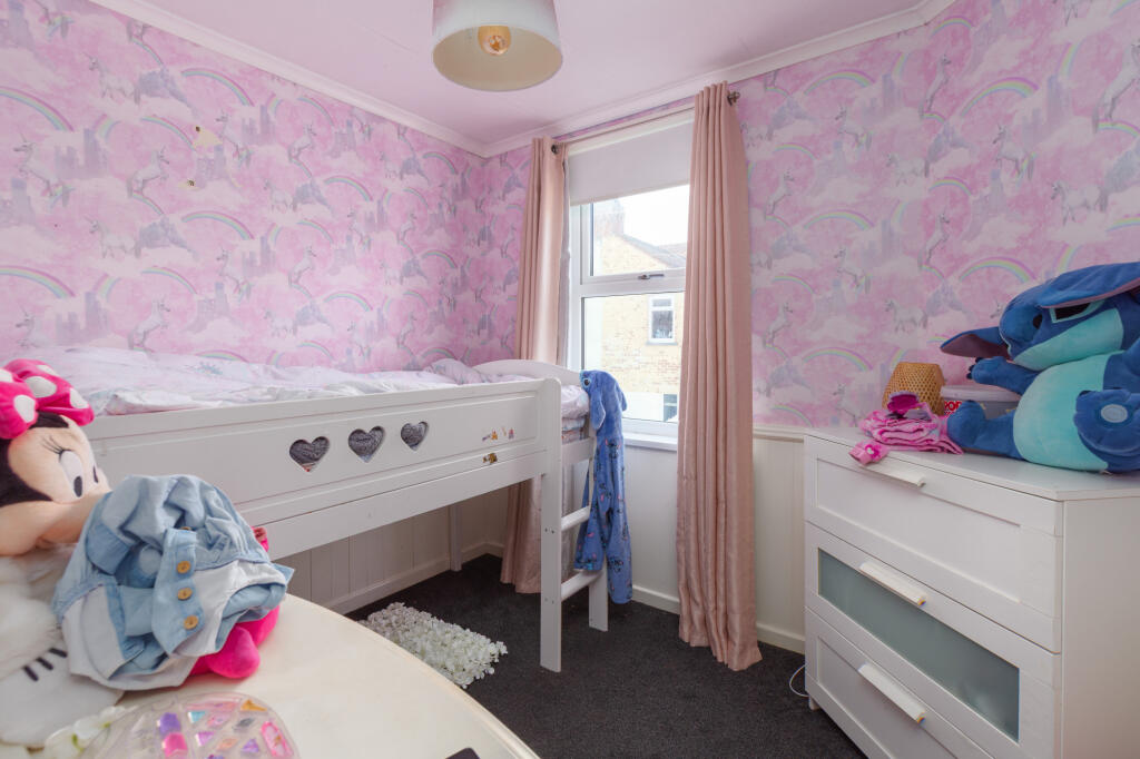
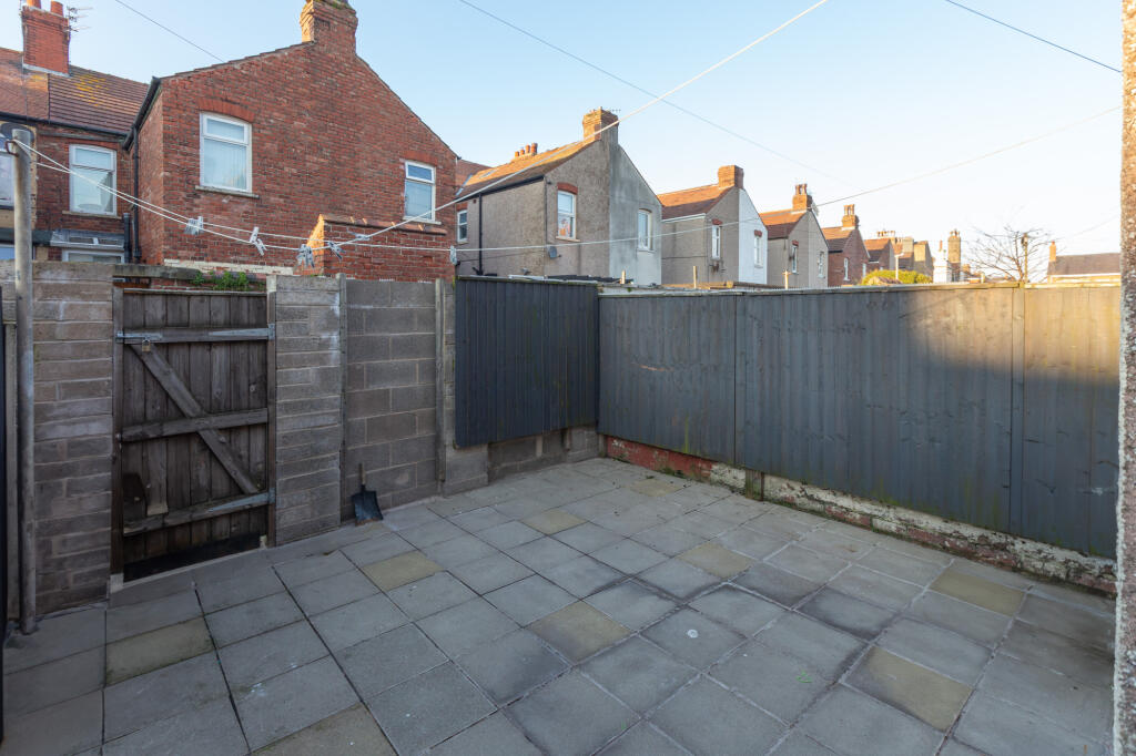
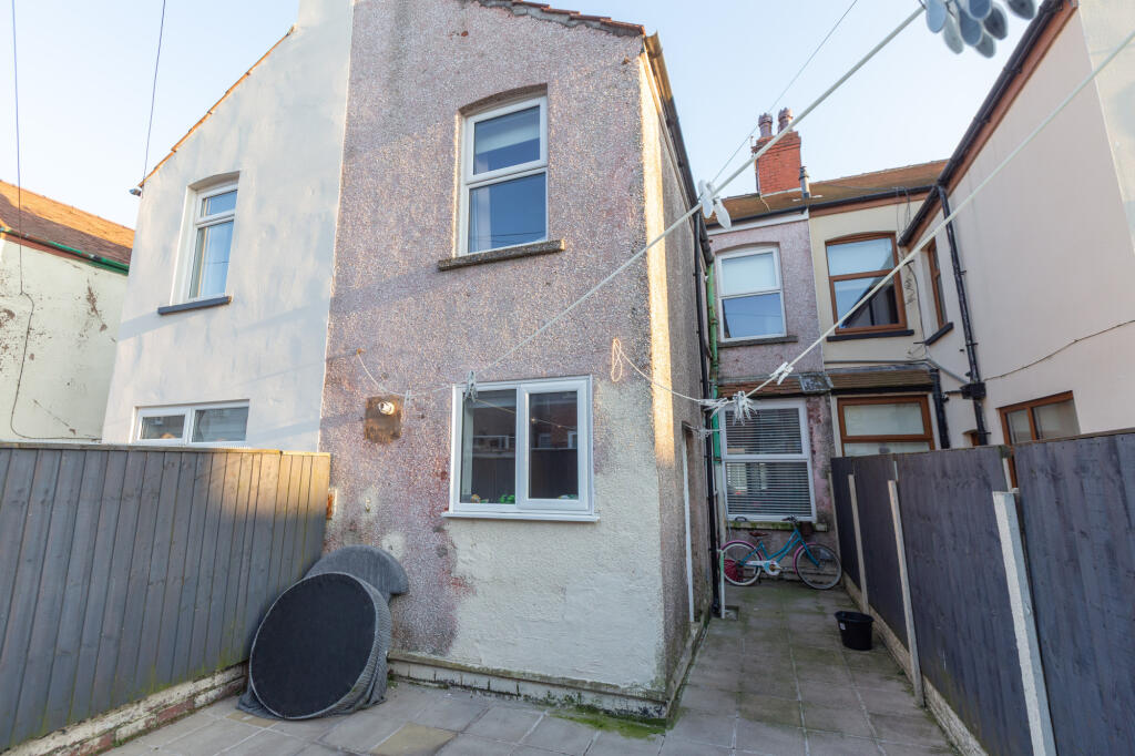
The property appears to be in good condition, with a recently modernised bathroom and kitchen. The images show a well-maintained interior, although some areas may benefit from some minor cosmetic updates. The property benefits from a small, paved rear garden.
The location is within reasonable proximity to several schools, with Fleetwood Chaucer Community Primary School being the closest at 0.20km. Transport links appear to be a reasonable distance away, with the nearest train station being approximately 9km away. More information would be needed to fully assess the location’s desirability.
Considering the property’s size (1369 sqft), condition, and the presence of a garden, the list price of £155,000 appears to be slightly higher than the average price per sqft in the area. However, given the relatively modern kitchen and bathroom, and the higher than average size of the property, the price may be justified. More comparable properties with similar sqft and condition would be needed to confirm this.
Therefore, we give this property 7 / 10. *Disclaimer: This is our option and does constitute a recommendation or financial advice. Do your own research. *
- Price
- 7
- Condition
- 8
- Location
- 7
- Land
- 6
- Bedrooms
- 3
- Bathrooms
- 0
- Sqft (est)
- 1,369.00
- Lot (est)
- 1,438.00
The heatmap indicates the level of crime in the area. The color of the heatmap indicates the crime severity and recency.
Metrics Year-on-Year
- Average area value
- 149,279.00 £Increased by 11.60 %
- Est sale value
- 203,981.00 £Decreased by 28.37 %
- Average area rental value
- 713.00 £/moIncreased by 19.23 %
- Est letting value
- 0.00 £/mo
- Est rental Yield
- 5.73 %Increased by 6.90 %
- Crime Rate
- 14.00 %Unchanged by 0.00 %
Agent Activity
Unique Estate Agency Ltd created the listing.
Nearby Schools
| Name | Type | Ofsted | Distance |
|---|---|---|---|
| Fleetwood Chaucer Community Primary School | Community School | Requires improvement | 0.20 KM |
| St Mary'S Catholic Primary School, Fleetwood | Voluntary Aided School | Good | 0.69 KM |
| Sure Start Fleetwood Children'S Centre | Children's Centre | 1.12 KM | |
| Shakespeare Primary School | Community School | Outstanding | 1.13 KM |
| St Wulstan'S And St Edmund'S Catholic Primary School And Nursery | Voluntary Aided School | Requires improvement | 1.54 KM |
Images
Nearby Streets
| Name | Average Price | Average Sqft | Distance |
|---|---|---|---|
| Darbishire Road | £ 350,000 | 0 | 0.00 KM |
| Queen Street | £ 0 | 0 | 0.00 KM |
| Deepdale Road | £ 84,950 | 0 | 0.00 KM |
| A585 | £ 0 | 0 | 0.00 KM |
| Greenway | £ 0 | 0 | 0.00 KM |
Nearby Transport
| Name | NLC | TLC | Distance |
|---|---|---|---|
| Poulton-Le-Fylde | 2671 | PFY | 9.04 KM |
| Layton (Lancs) | 2669 | LAY | 9.94 KM |
Nearby Listings
| Address | Price | Type | Score | Distance |
|---|---|---|---|---|
| Burns Road, Fleetwood, FY7 | £ 155,000 | BUY | 7 / 10 | 0.00 KM |
| Burns Road, Fleetwood, FY7 | £ 170,000 | BUY | 6 / 10 | 0.01 KM |
| Abbotts Walk, Fleetwood, FY7 | £ 135,000 | BUY | 6 / 10 | 0.06 KM |
| Dryden Road, Fleetwood | £ 169,950 | BUY | 6 / 10 | 0.07 KM |
| Carr Road, Fleetwood, FY7 6QQ | £ 180,000 | BUY | 6 / 10 | 0.09 KM |
Nearby Properties
| Address | Price | Distance |
|---|---|---|
| 10 Burns Road | £ 117,000 | 0.00 KM |
| 24 Burns Road | £ 120,500 | 0.00 KM |
| 21 Burns Road | £ 116,950 | 0.00 KM |
| 26 Burns Road | £ 107,000 | 0.00 KM |
| 22 Burns Road | £ 81,500 | 0.00 KM |