DA
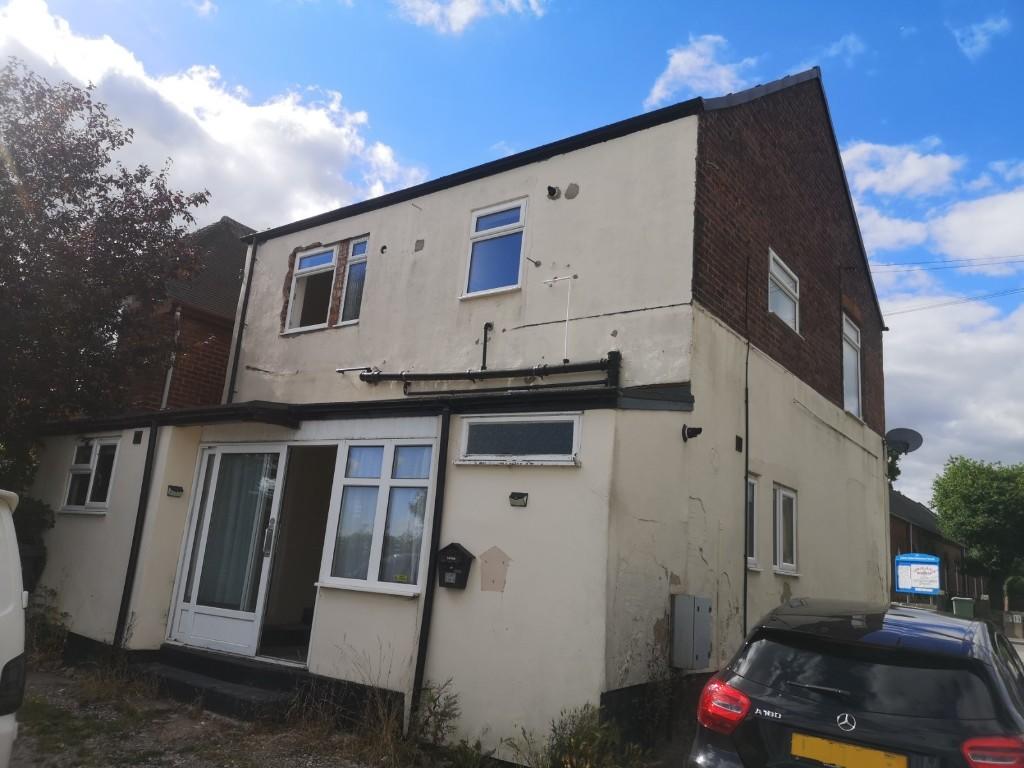
Top Road, Chesterfield, Derbyshire, S44
By David Blount Ltd
£ 595
David Blount Ltd says ..
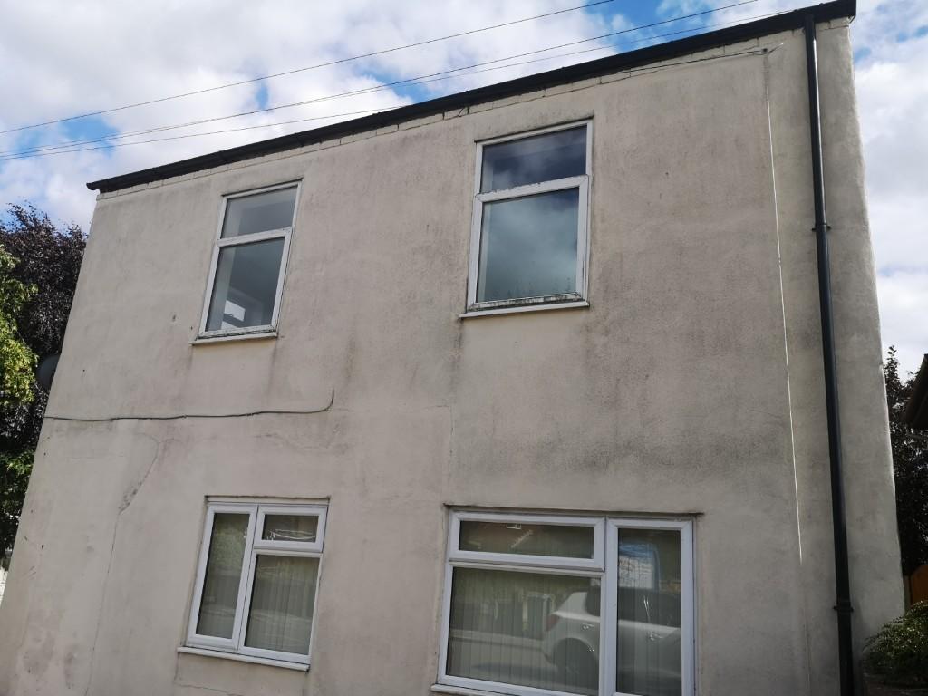
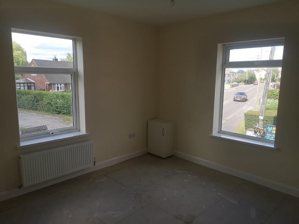
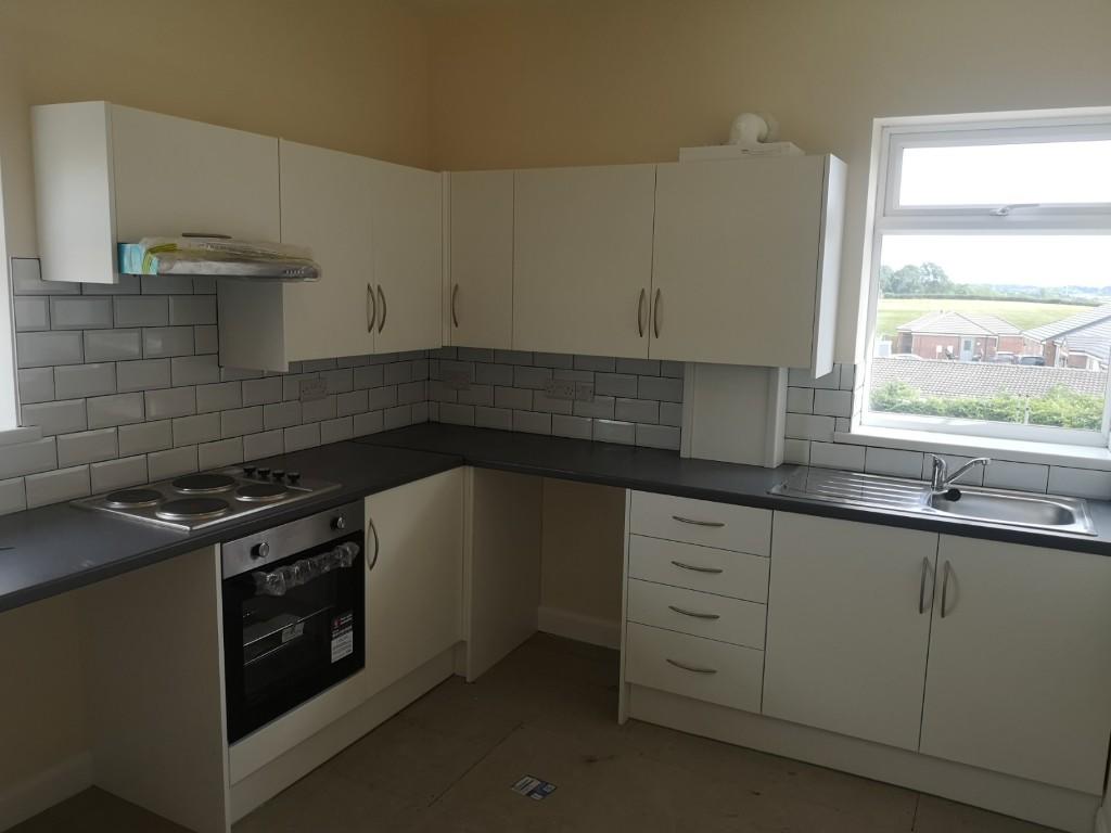
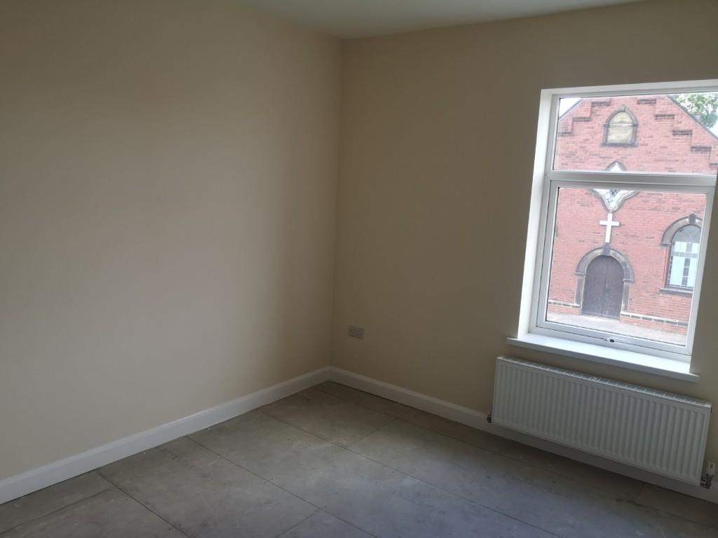
UPVC DOUBLE GLAZED & GCH TWO BEDROOMED FIRST FLOOR FLAT
- Bedrooms
- 2
- Bathrooms
- 0
The heatmap indicates the level of crime in the area. The color of the heatmap indicates the crime severity and recency.
Metrics Year-on-Year
- Average area value
- 291,263.00 £Decreased by 1.08 %
- Average area rental value
- 980.00 £/moDecreased by 0.31 %
- Est rental Yield
- 4.04 %Increased by 0.75 %
- Crime Rate
- 15.00 %Unchanged by 0.00 %
from 294,431.00 £
from 983.00 £/mo
from 4.01 %
from 15.00 %
Agent Activity
David Blount Ltd created the listing.
Nearby Schools
| Name | Type | Ofsted | Distance |
|---|---|---|---|
| Calow Cofe Vc Primary School | Voluntary Controlled School | Requires improvement | 0.62 KM |
| Brimington Manor Infant And Nursery School | Academy Converter | Good | 1.33 KM |
| Chesterfield Hospital School | Miscellaneous | 1.63 KM | |
| Hady Primary School | Community School | Good | 2.37 KM |
| St Peter & St Paul School | Other Independent School | 2.45 KM |
Images


Nearby Streets
| Name | Average Price | Average Sqft | Distance |
|---|---|---|---|
| Heather Close | £ 220,000 | 0 | 0.00 KM |
| Church Street | £ 130,000 | 0 | 0.00 KM |
| Almond Close | £ 0 | 0 | 0.00 KM |
| Orchid Close | £ 219,950 | 0 | 0.00 KM |
| Bedford Way | £ 0 | 0 | 0.00 KM |
Nearby Transport
| Name | NLC | TLC | Distance |
|---|---|---|---|
| Chesterfield | 6615 | CHD | 3.85 KM |
Nearby Listings
| Address | Price | Type | Score | Distance |
|---|---|---|---|---|
| Top Road, Calow, Chesterfield, S44 | £ 775 | RENT | Unknown | 0.00 KM |
| Top Road, Calow, Chesterfield, S44 5SY | £ 750 | RENT | Unknown | 0.14 KM |
| Central Drive, Calow, Chesterfield, Derbyshire, S44 | £ 750 | RENT | Unknown | 0.42 KM |
| Top Road, S44 | £ 550 | RENT | Unknown | 0.49 KM |
| Parker Avenue, Calow, Chesterfield, Derbyshire S44 | £ 925 | RENT | Unknown | 0.69 KM |
Nearby Properties
| Address | Price | Distance |
|---|---|---|
| 64 Top Road | £ 198,000 | 0.00 KM |
| 112 Top Road | £ 18,000 | 0.00 KM |
| 92 Top Road | £ 110,000 | 0.00 KM |
| 124 Top Road | £ 94,000 | 0.00 KM |
| 122 Top Road | £ 77,500 | 0.00 KM |