PU
Wigston Lane, Leicester, LE2
By Purplebricks
£ 260,000
Purplebricks says ..
TBC
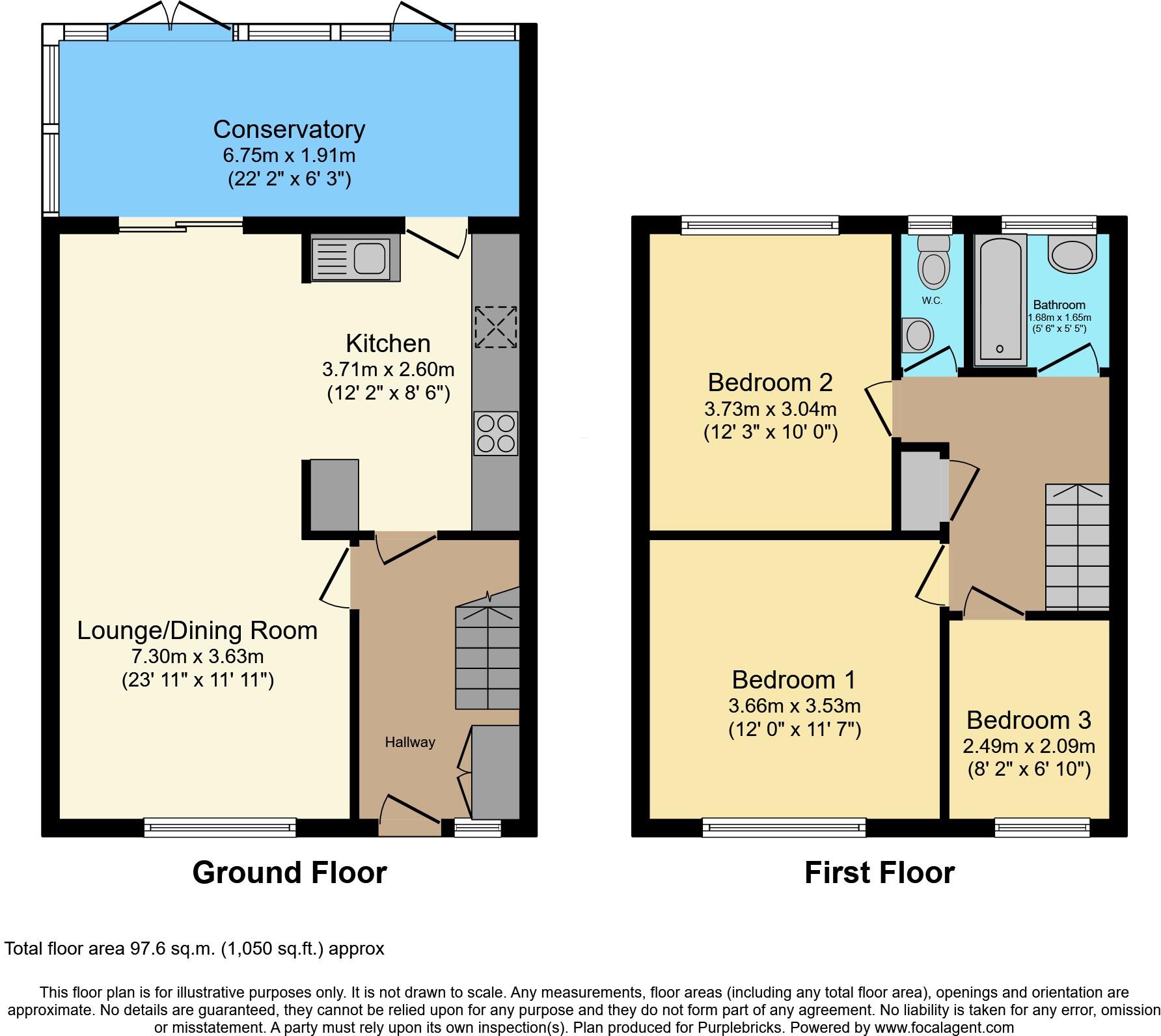
- Bedrooms
- 3
- Bathrooms
- 1
- Sqft (est)
- 875.14
The heatmap indicates the level of crime in the area. The color of the heatmap indicates the crime severity and recency.
Metrics Year-on-Year
- Average area value
- 236,429.00 £Decreased by 2.75 %
- Est sale value
- 365,808.52 £Increased by 72.73 %
- Average area rental value
- 1,138.00 £/moIncreased by 31.11 %
- Est letting value
- 1,750.28 £/mo
- Est rental Yield
- 5.78 %Increased by 35.05 %
- Crime Rate
- 1.00 %Unchanged by 0.00 %
from 243,111.00 £
from 211,783.88 £
from 868.00 £/mo
from 0.00 £/mo
from 4.28 %
from 1.00 %
Agent Activity
Purplebricks created the listing.
Nearby Schools
| Name | Type | Ofsted | Distance |
|---|---|---|---|
| Montrose School | Community School | Good | 0.37 KM |
| Eyres Monsell Primary School | Community School | Good | 0.85 KM |
| Marriott Primary School | Community School | Good | 0.93 KM |
| Granby Primary School | Community School | Good | 1.05 KM |
| Tudor Grange Samworth Academy, A Church Of England School | Academy Sponsor Led | Serious Weaknesses | 1.10 KM |
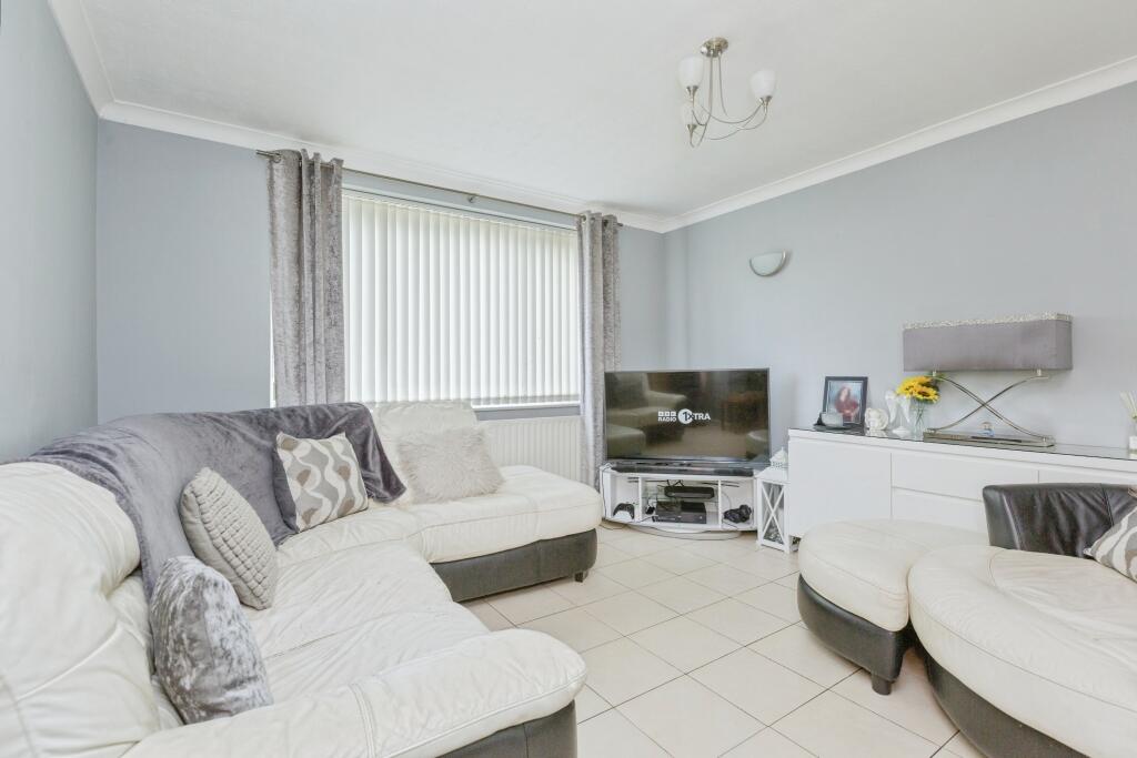
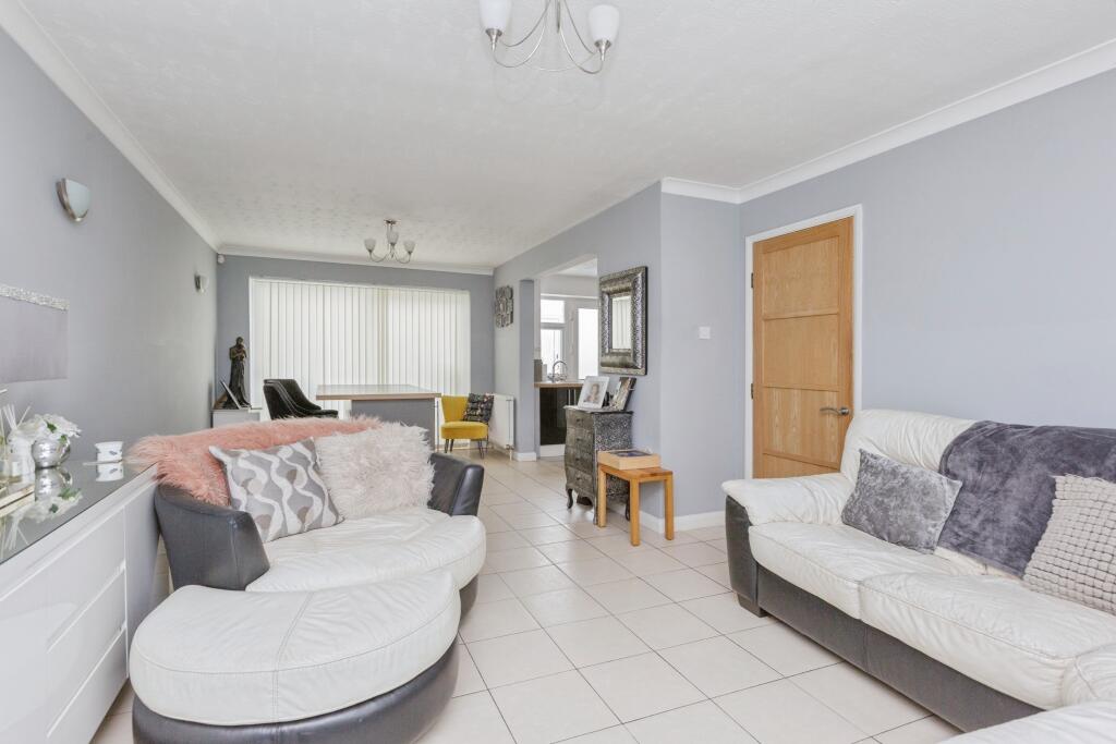
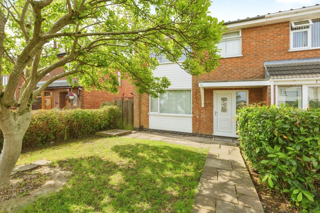
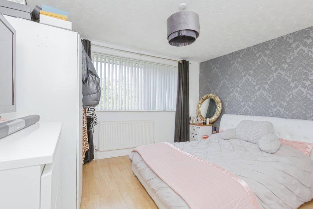
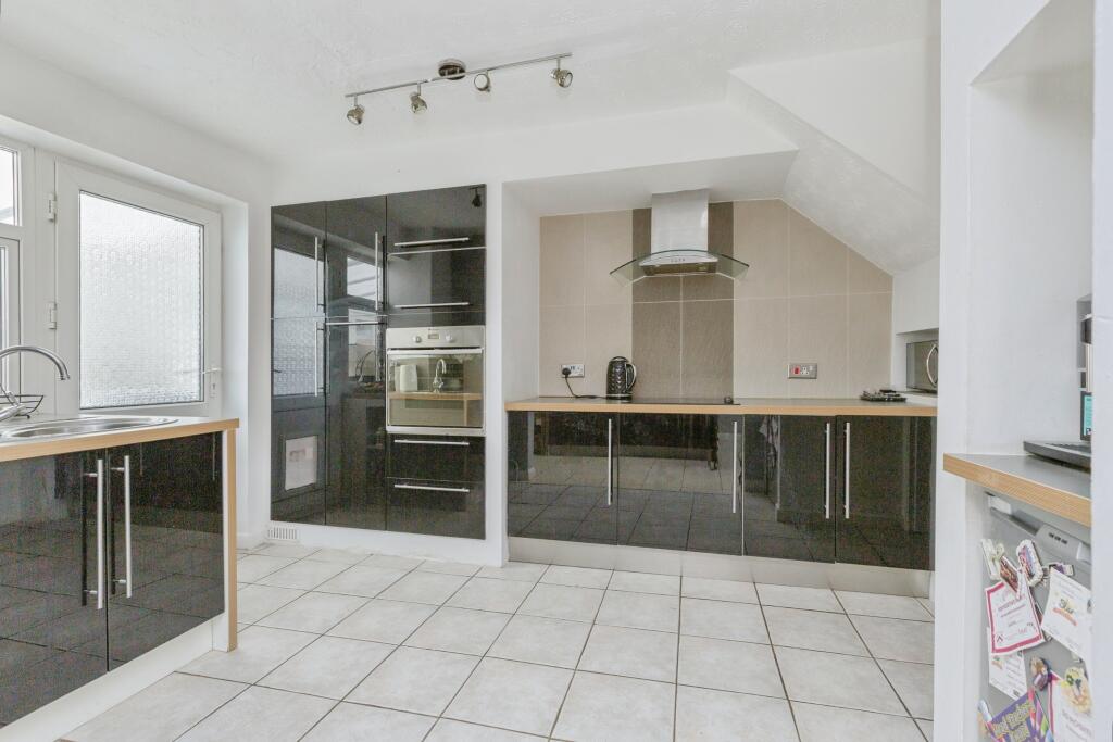
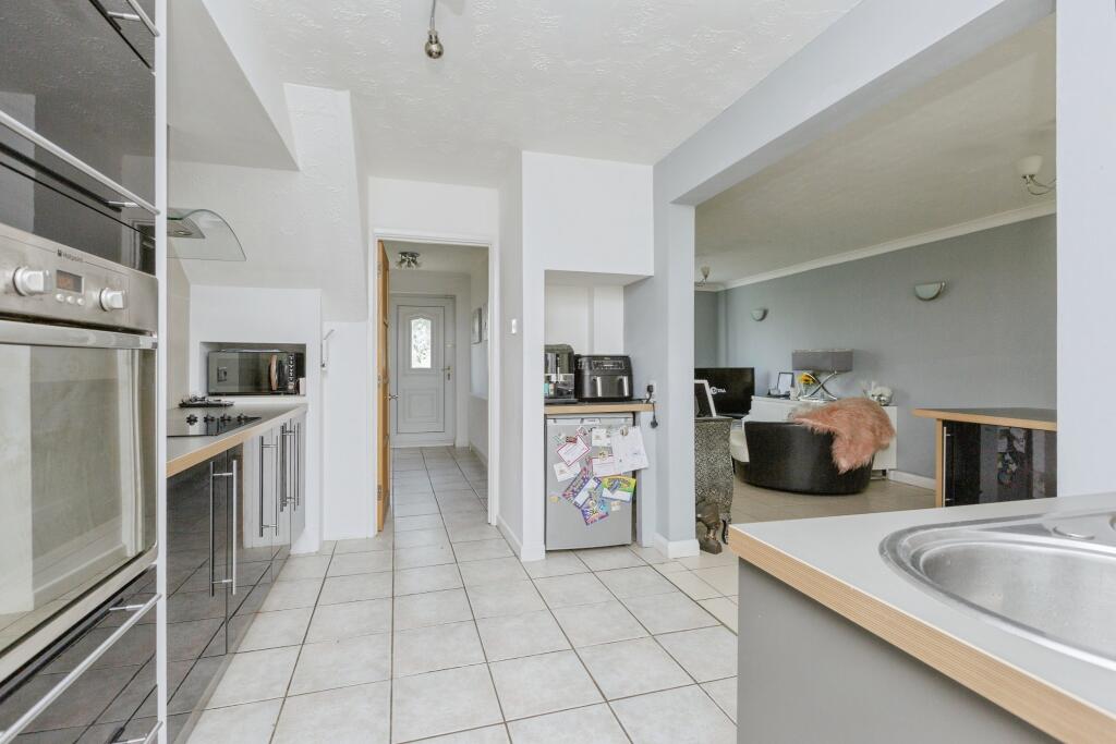
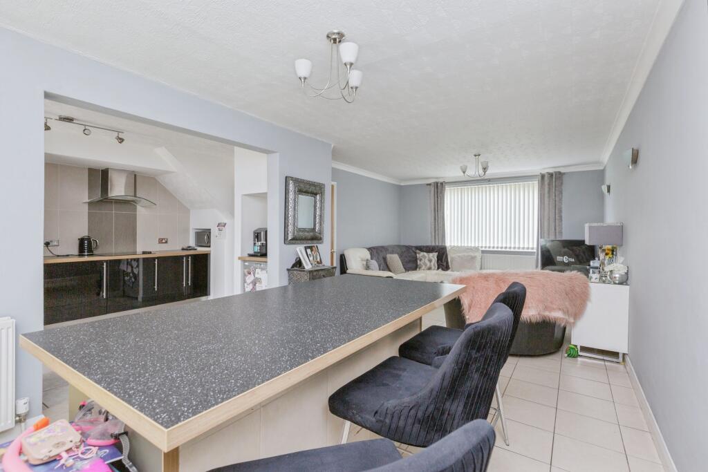
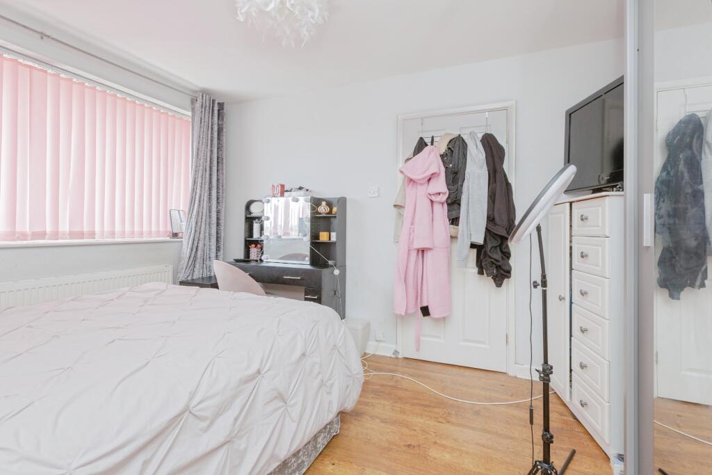
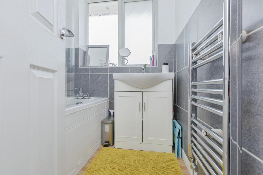
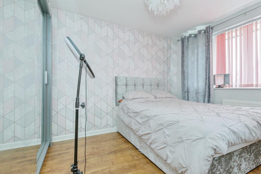
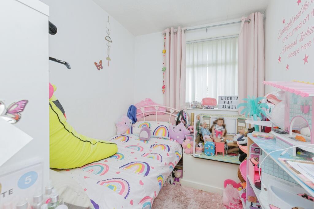
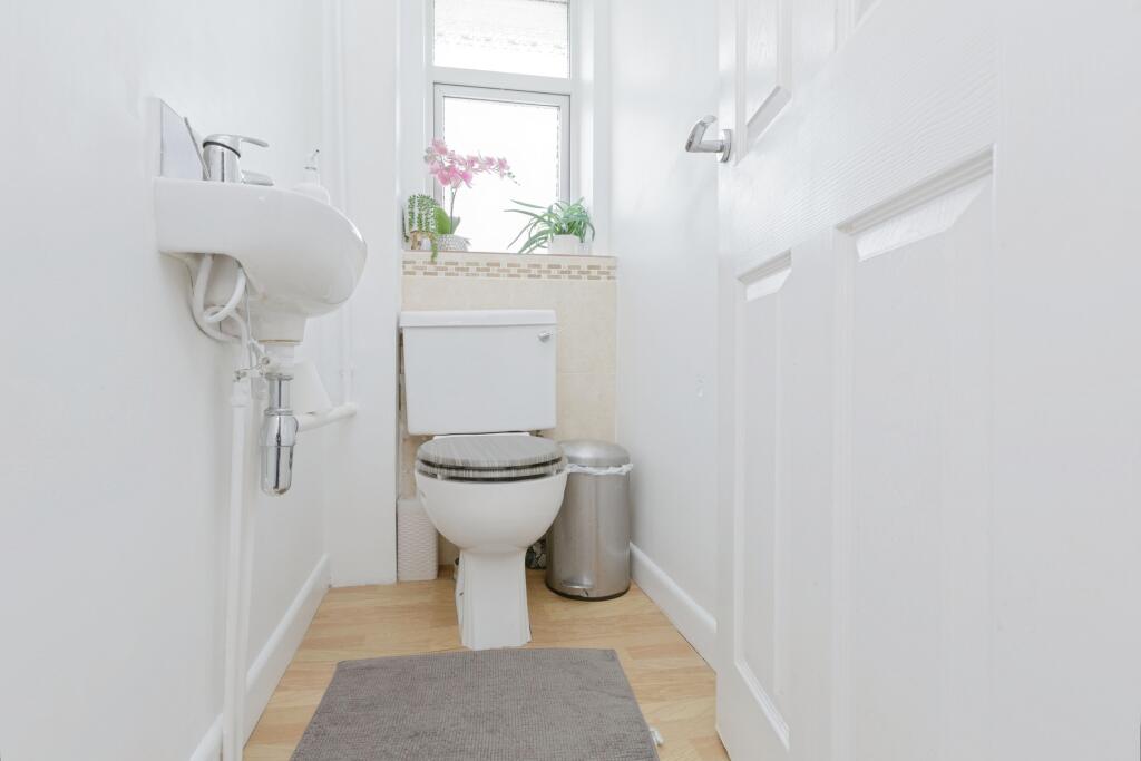
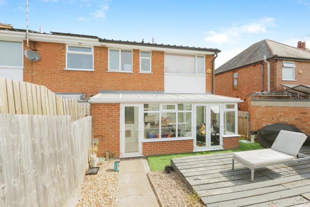
Images
Nearby Streets
| Name | Average Price | Average Sqft | Distance |
|---|---|---|---|
| Sturdee Close | £ 0 | 0 | 0.00 KM |
| Pawley Green | £ 130,000 | 0 | 0.00 KM |
| Hall Lane | £ 300,000 | 0 | 0.00 KM |
| The Slade Greens | £ 245,000 | 0 | 0.00 KM |
| Packhorse Road | £ 210,000 | 0 | 0.00 KM |
Nearby Transport
| Name | NLC | TLC | Distance |
|---|---|---|---|
| South Wigston | 1949 | SWS | 2.23 KM |
| Leicester | 1947 | LEI | 4.32 KM |
| Narborough | 1881 | NBR | 7.03 KM |
Nearby Listings
| Address | Price | Type | Score | Distance |
|---|---|---|---|---|
| Wigston Lane, Leicester, LE2 | £ 260,000 | BUY | Unknown | 0.00 KM |
| Wigston Lane, Aylestone, Leicester | £ 425,000 | BUY | 7 / 10 | 0.00 KM |
| Belvoir Drive East, Aylestone, Leicester | £ 230,000 | BUY | 6 / 10 | 0.10 KM |
| Belvoir Drive East, Aylestone | £ 250,000 | BUY | 6 / 10 | 0.10 KM |
| Belvoir Drive East, Leicester | £ 250,000 | BUY | 6 / 10 | 0.14 KM |
Nearby Properties
| Address | Price | Distance |
|---|---|---|
| 195 Wigston Lane | £ 169,000 | 0.01 KM |
| 231 Wigston Lane | £ 140,000 | 0.01 KM |
| 177 Wigston Lane | £ 110,000 | 0.01 KM |
| 243 Wigston Lane | £ 179,000 | 0.01 KM |
| 197 Wigston Lane | £ 165,000 | 0.01 KM |