

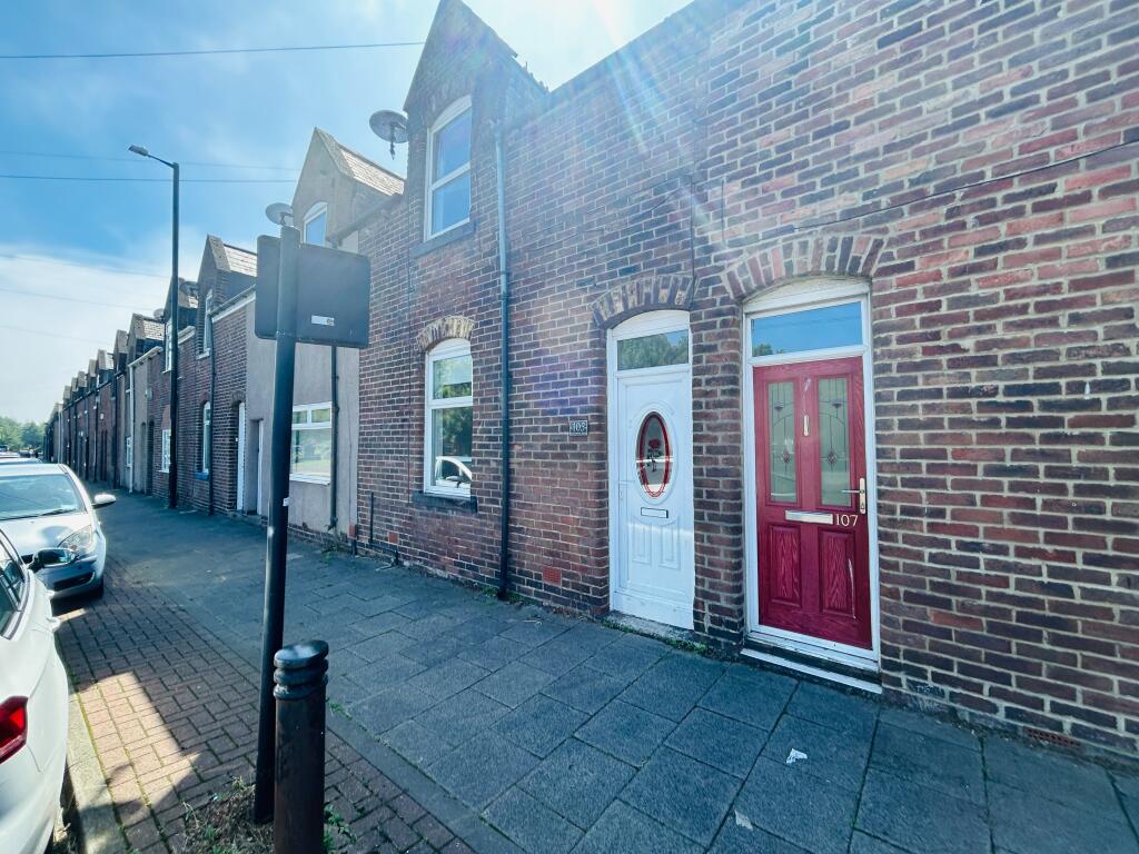
Southwick Road, Sunderland, SR5
By Northwood
£ 700
Northwood says ..
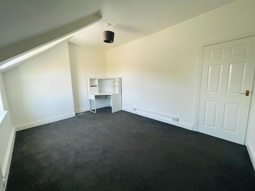
Two Bedroom Terraced House
- Bedrooms
- 2
- Bathrooms
- 1
The heatmap indicates the level of crime in the area. The color of the heatmap indicates the crime severity and recency.
Metrics Year-on-Year
- Average area value
- 216,225.00 £Decreased by 4.32 %
- Average area rental value
- 863.00 £/moDecreased by 37.87 %
- Est rental Yield
- 4.79 %Decreased by 35.09 %
- Crime Rate
- 7.00 %Unchanged by 0.00 %
from 225,977.00 £
from 1,389.00 £/mo
from 7.38 %
from 7.00 %
Agent Activity
Northwood created the listing.
Nearby Schools
| Name | Type | Ofsted | Distance |
|---|---|---|---|
| Beacon Of Light School | Free Schools Alternative Provision | Requires improvement | 0.34 KM |
| Grange Park Primary School | Community School | Outstanding | 0.40 KM |
| Southwick Community Primary School | Community School | Good | 1.06 KM |
| Redby Academy | Academy Converter | Good | 1.33 KM |
| University Of Sunderland | Higher Education Institutions | Good | 1.46 KM |
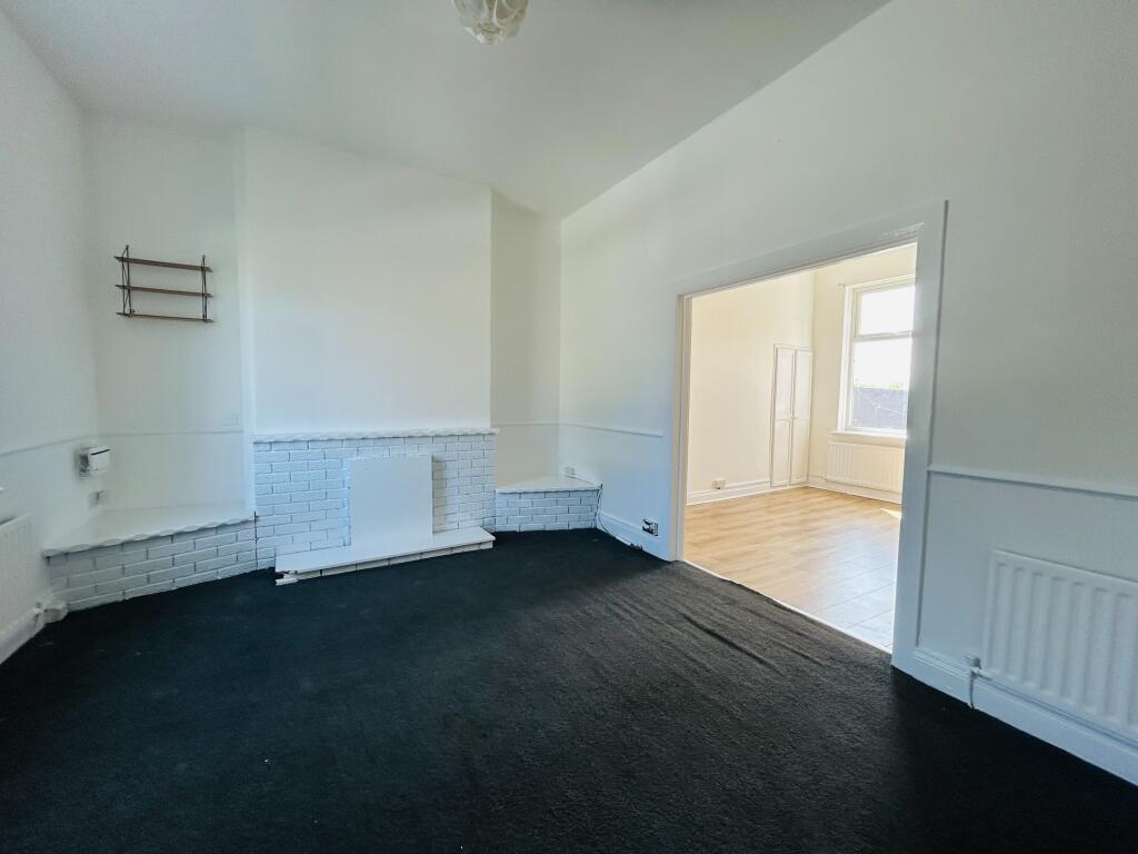
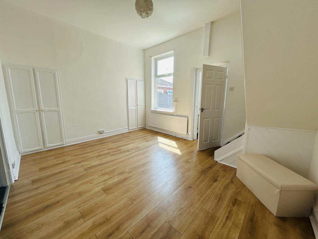
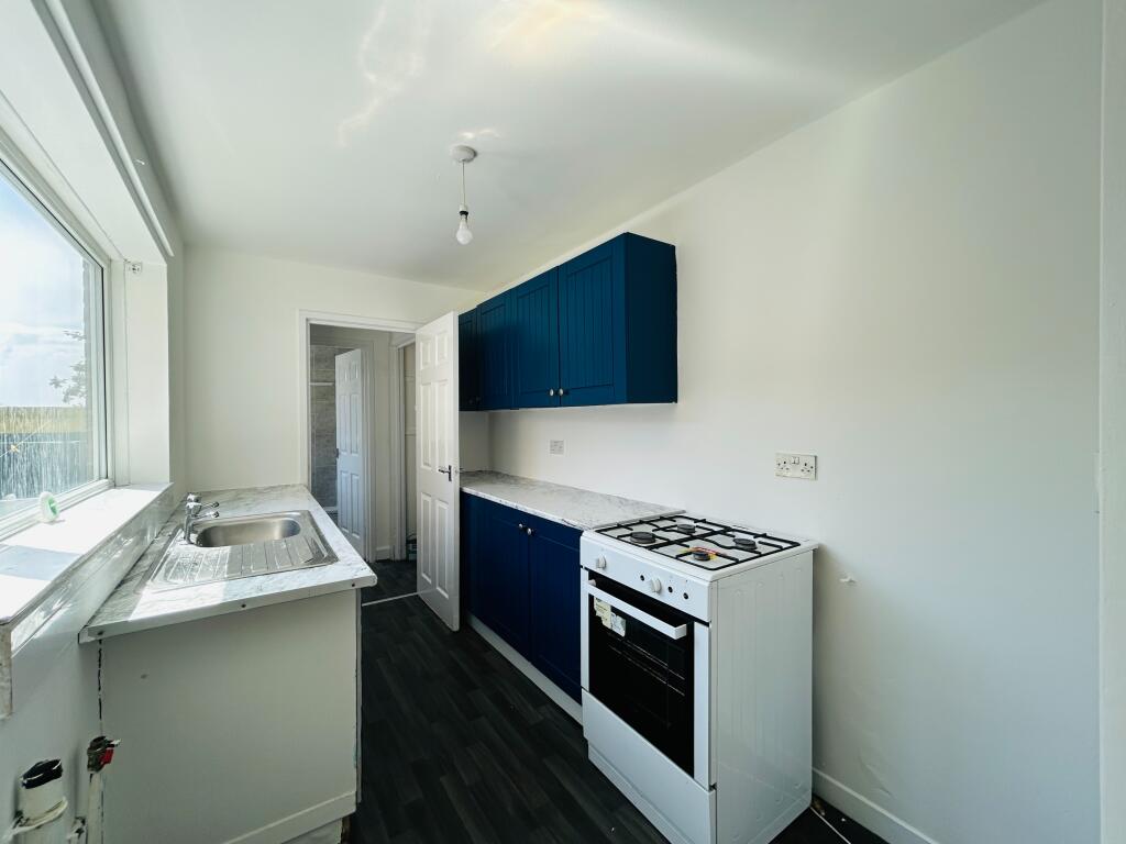
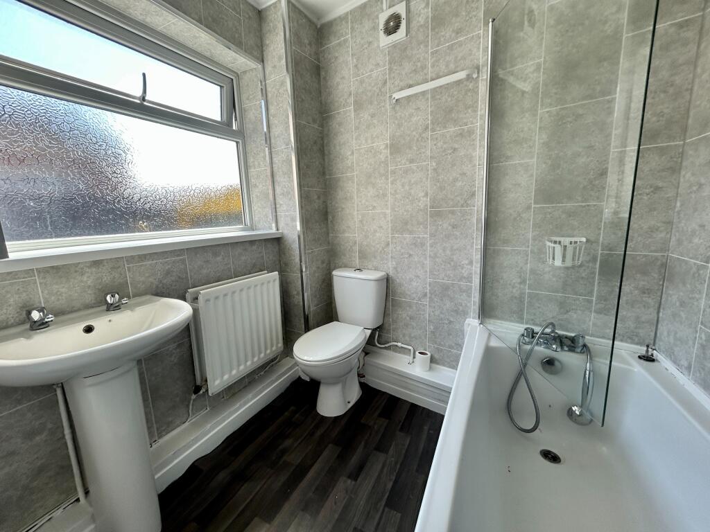
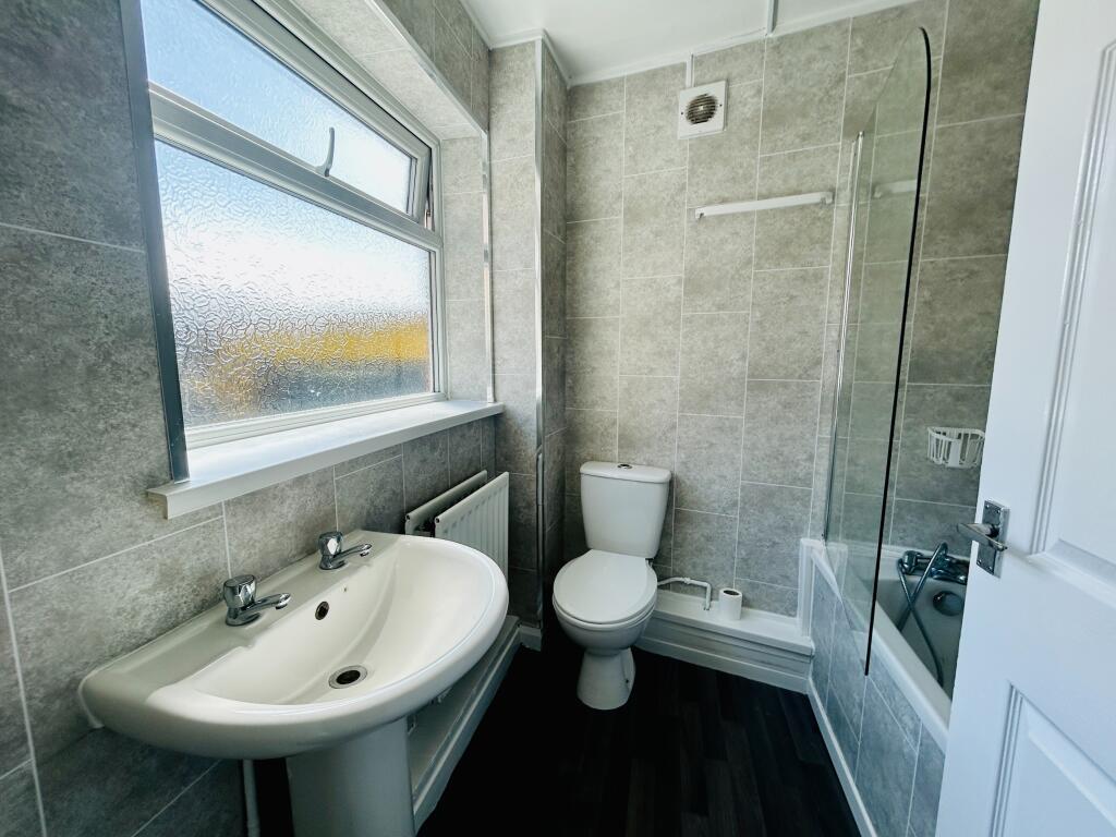
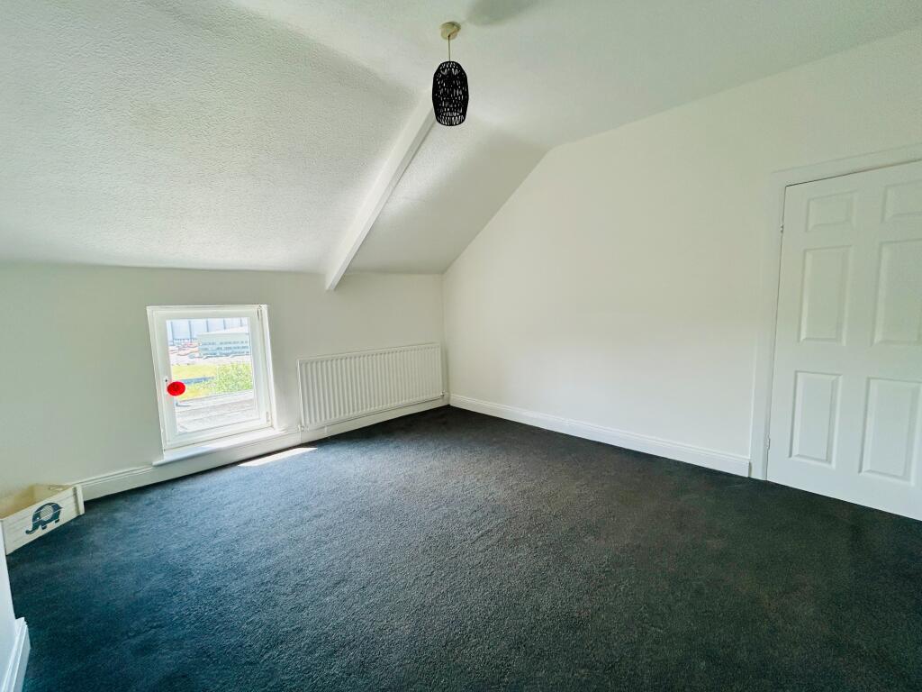
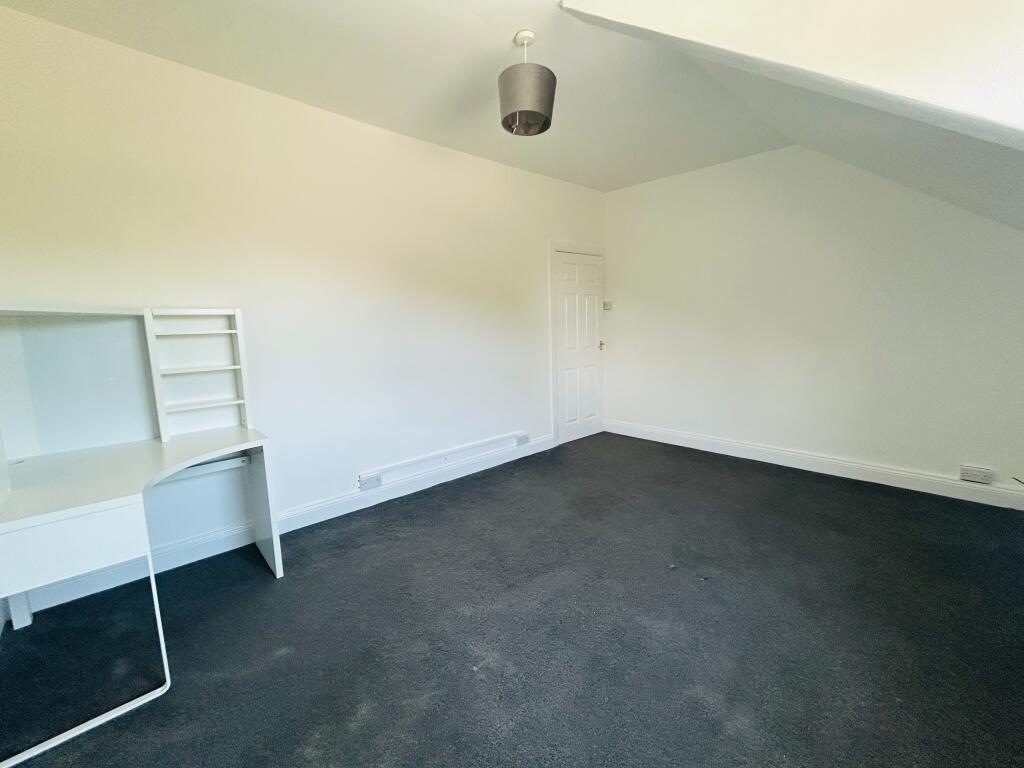
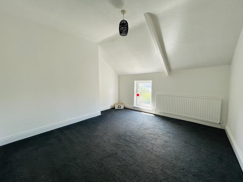
Images


Nearby Streets
| Name | Average Price | Average Sqft | Distance |
|---|---|---|---|
| Southwick Road | £ 103,725 | 0 | 0.00 KM |
| Nettleham Road | £ 165,000 | 0 | 0.00 KM |
| Ridley Street | £ 0 | 0 | 0.00 KM |
| Lilburn Place | £ 0 | 0 | 0.00 KM |
| Back North Bridge Street | £ 0 | 0 | 0.00 KM |
Nearby Transport
| Name | NLC | TLC | Distance |
|---|---|---|---|
| Sunderland | 7640 | SUN | 1.75 KM |
Nearby Listings
| Address | Price | Type | Score | Distance |
|---|---|---|---|---|
| Southwick Road, Sunderland, SR5 | £ 700 | RENT | Unknown | 0.00 KM |
| Byron Street, Sunderland, Tyne and Wear, SR5 | £ 700 | RENT | Unknown | 0.11 KM |
| Finsbury Street, Monkwearmouth | £ 550 | RENT | Unknown | 0.12 KM |
| Southwick Road, Sunderland, SR5 | £ 650 | RENT | Unknown | 0.19 KM |
| Swan Street, Sunderland | £ 500 | RENT | Unknown | 0.25 KM |
Nearby Properties
| Address | Price | Distance |
|---|---|---|
| 127 Southwick Road | £ 39,550 | 0.00 KM |
| 123 Southwick Road | £ 42,000 | 0.00 KM |
| 103 Southwick Road | £ 46,000 | 0.00 KM |
| 113 Southwick Road | £ 39,950 | 0.00 KM |
| 117 Southwick Road | £ 67,000 | 0.01 KM |