
SO
Griston
By Sowerbys
£ 1,750
Sowerbys says ..
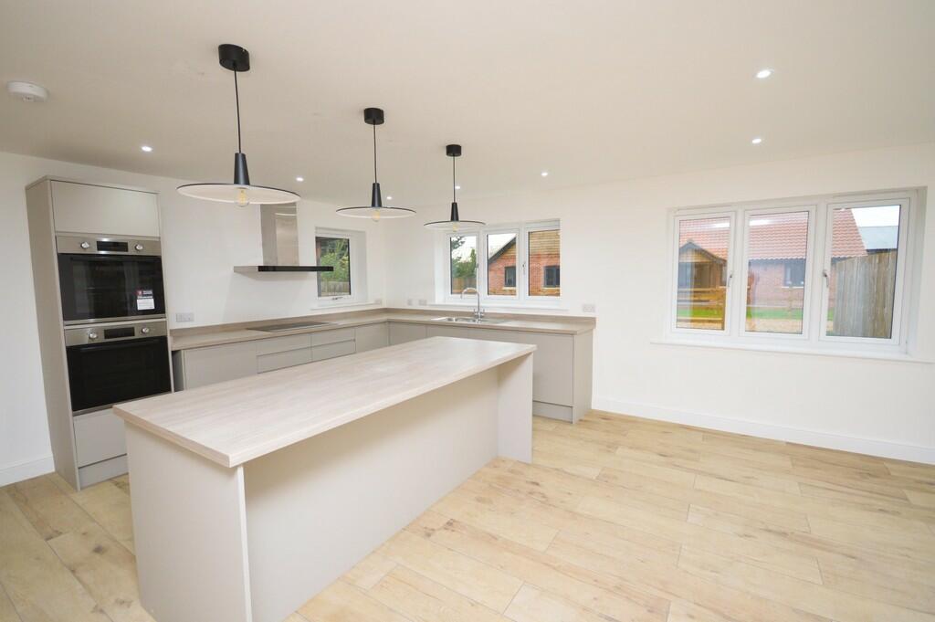
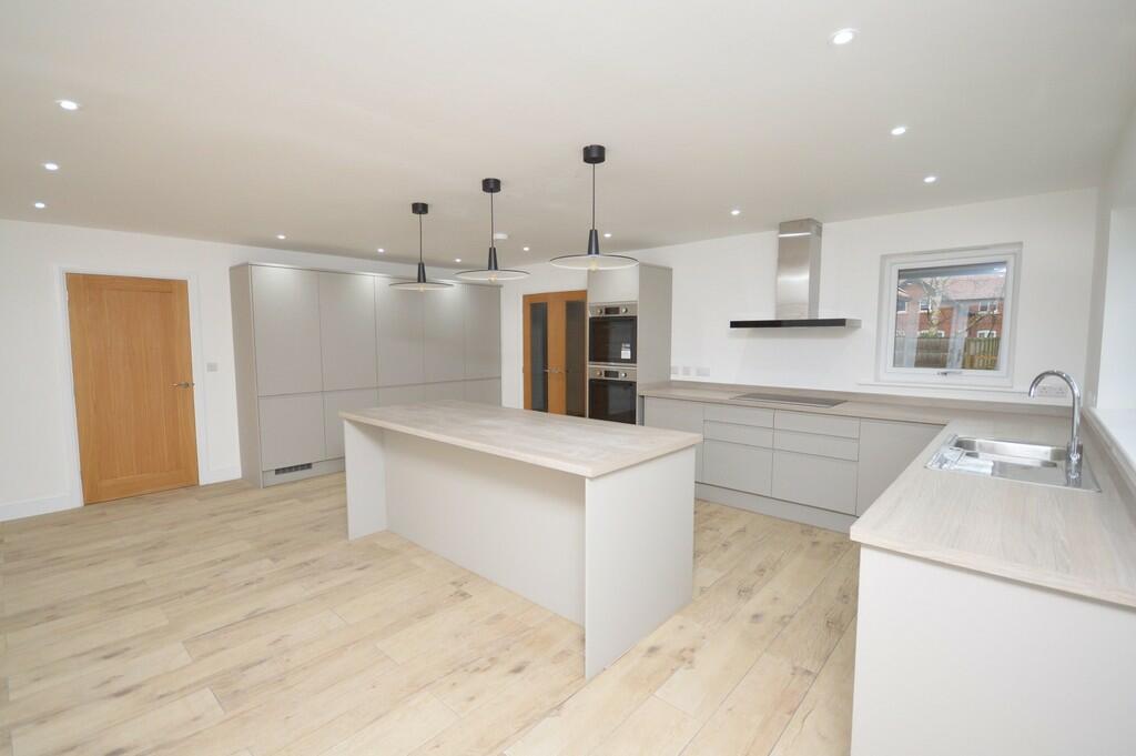
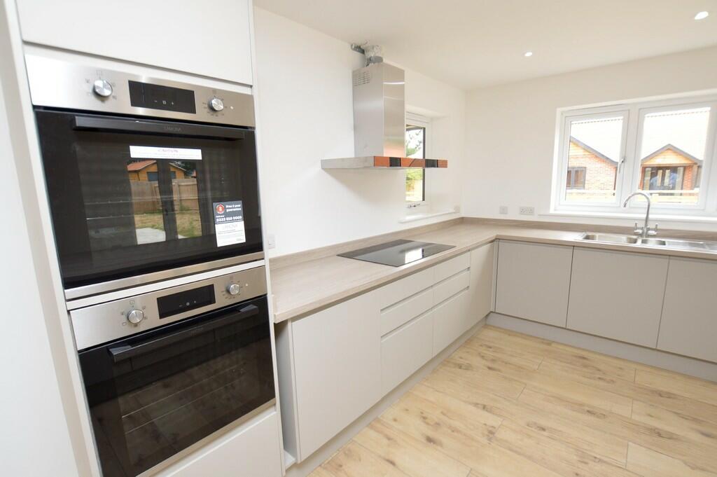
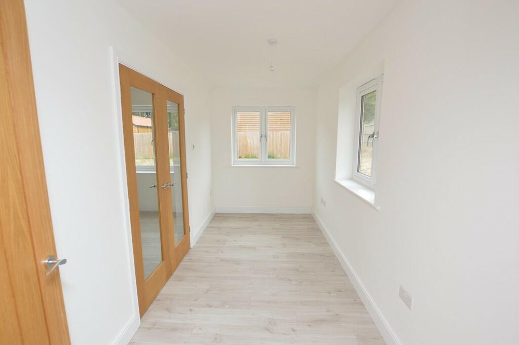
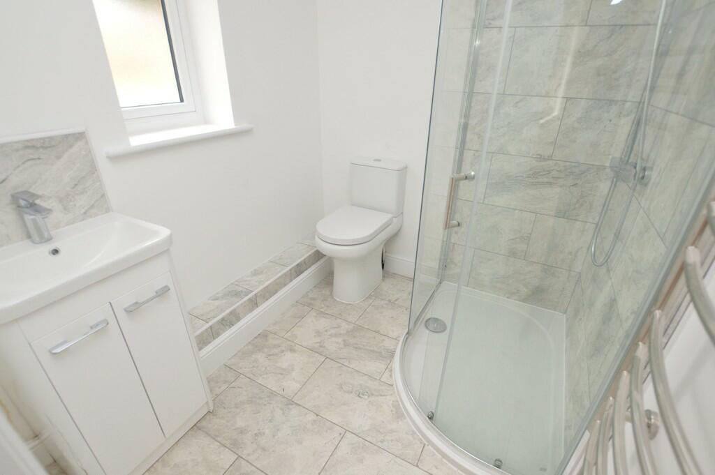
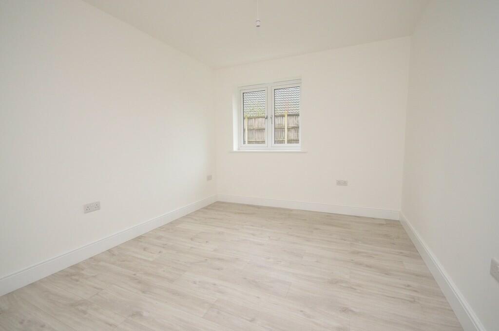
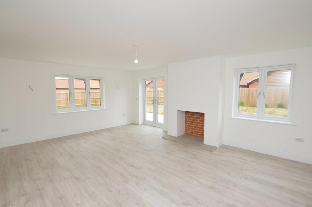
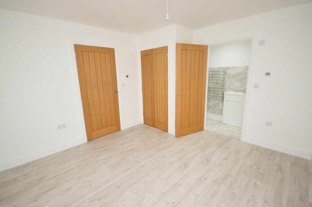
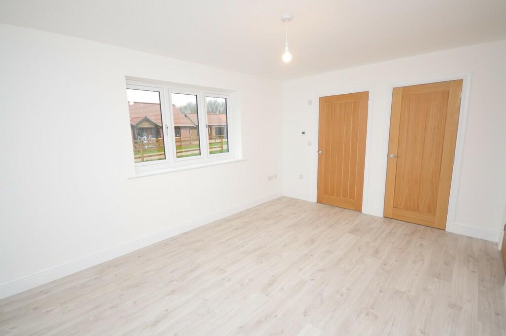
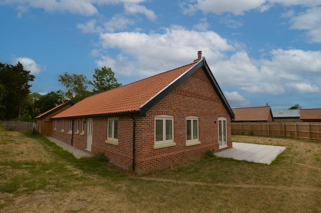
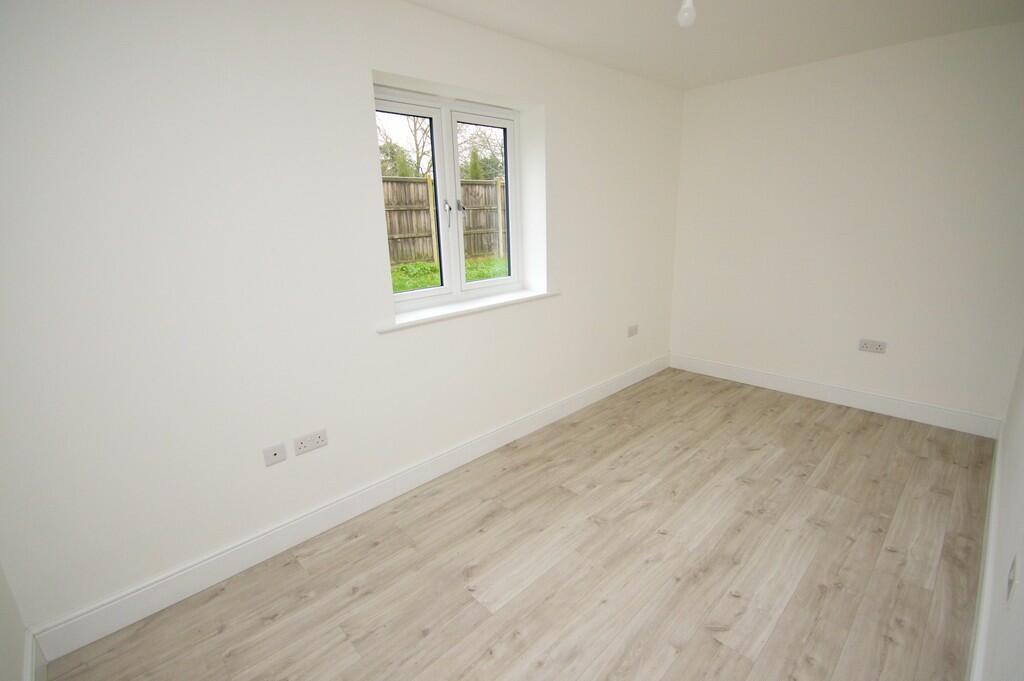
Four bedroom detached bungalow showcasing an unsurpassable specification throughout, located within a quiet cul-de-sac.
- Bedrooms
- 4
- Bathrooms
- 3
The heatmap indicates the level of crime in the area. The color of the heatmap indicates the crime severity and recency.
Metrics Year-on-Year
- Average area value
- 307,500.00 £Decreased by 39.02 %
- Average area rental value
- 850.00 £/moDecreased by 51.18 %
- Est rental Yield
- 3.32 %Decreased by 19.81 %
- Crime Rate
- 0.00 %
from 504,239.00 £
from 1,741.00 £/mo
from 4.14 %
from 0.00 %
Agent Activity
Sowerbys created the listing.
Nearby Schools
| Name | Type | Ofsted | Distance |
|---|---|---|---|
| Caston Church Of England Primary Academy | Academy Sponsor Led | 2.00 KM | |
| St Peter And St Paul Church Of England Primary Academy & Nursery | Academy Converter | Good | 3.35 KM |
| Thompson Primary School | Academy Converter | 4.01 KM | |
| Wayland Academy | Academy Converter | Requires improvement | 4.34 KM |
| Watton Children'S Centre | Children's Centre | 4.72 KM |
Images


Nearby Streets
| Name | Average Price | Average Sqft | Distance |
|---|---|---|---|
| Stirling Road | £ 200,000 | 0 | 0.00 KM |
| Shackleton Road | £ 205,000 | 0 | 0.00 KM |
| Elworthy Close | £ 0 | 0 | 0.00 KM |
| Fortress Road | £ 190,000 | 0 | 0.00 KM |
Nearby Listings
| Address | Price | Type | Score | Distance |
|---|---|---|---|---|
| Manor Road, Griston, IP25 | £ 1,950 | RENT | Unknown | 0.23 KM |
| Griston | £ 875 | RENT | Unknown | 0.28 KM |
| Blenheim Crescent, Griston, THETFORD | £ 1,100 | RENT | Unknown | 0.34 KM |
| Carbrooke | £ 775 | RENT | Unknown | 1.47 KM |
| Fortress Road, Carbrooke, IP25 | £ 895 | RENT | Unknown | 1.49 KM |
Nearby Properties
| Address | Price | Distance |
|---|---|---|
| The Pines | £ 327,500 | 0.11 KM |
| Church Cottage | £ 293,000 | 0.11 KM |
| Manor House | £ 350,000 | 0.11 KM |
| Meadow View | £ 302,500 | 0.11 KM |
| Jasmine Cottage | £ 138,000 | 0.11 KM |