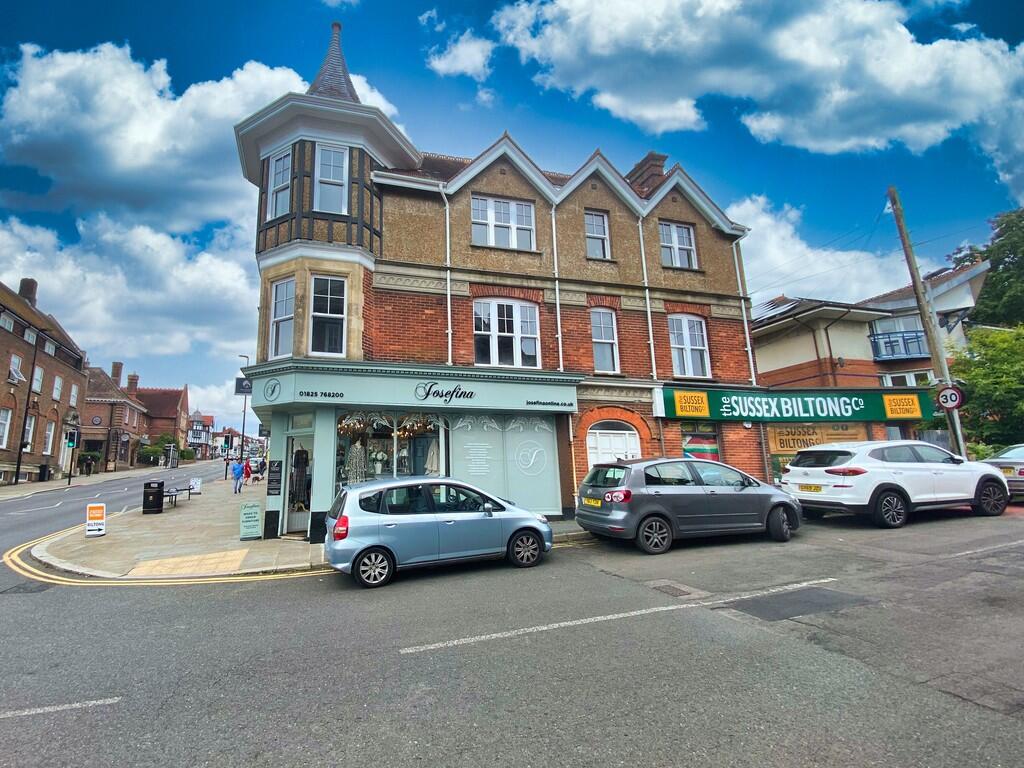
LA
High Street, Uckfield
By Lampon Lets
£ 950
Lampon Lets says ..
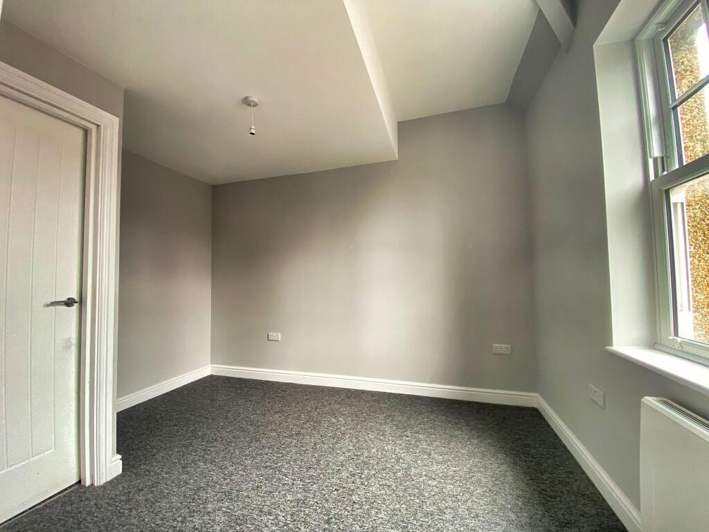
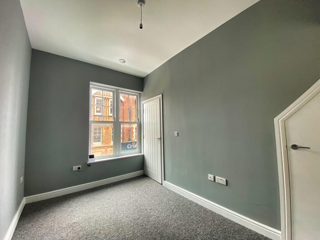
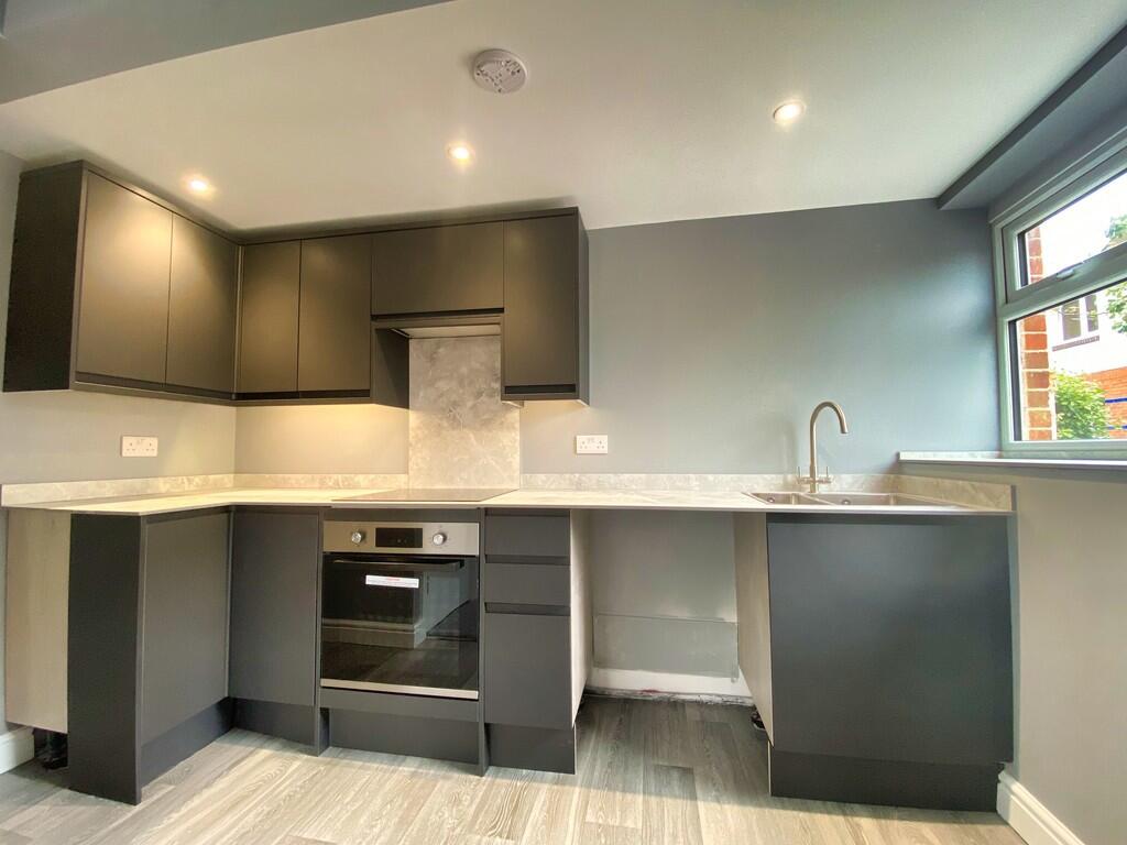
A BEAUTIFUL APARTMENT **VIDEO TOUR**
- Bedrooms
- 1
- Bathrooms
- 1
The heatmap indicates the level of crime in the area. The color of the heatmap indicates the crime severity and recency.
Metrics Year-on-Year
- Average area value
- 435,000.00 £Increased by 34.82 %
- Average area rental value
- 1,300.00 £/moIncreased by 1.96 %
- Est rental Yield
- 3.59 %Decreased by 24.26 %
- Crime Rate
- 40.00 %Unchanged by 0.00 %
from 322,647.00 £
from 1,275.00 £/mo
from 4.74 %
from 40.00 %
Agent Activity
Lampon Lets created the listing.
Nearby Schools
| Name | Type | Ofsted | Distance |
|---|---|---|---|
| Holy Cross Church Of England Primary School | Voluntary Aided School | Good | 0.35 KM |
| Uckfield Children'S Centre | Children's Centre | 0.56 KM | |
| Uckfield College | Community School | Good | 0.68 KM |
| St Philip'S Catholic Primary School | Voluntary Aided School | Good | 0.81 KM |
| Rocks Park Primary School | Community School | Good | 0.85 KM |
Images


Nearby Streets
| Name | Average Price | Average Sqft | Distance |
|---|---|---|---|
| Kings Court | £ 175,000 | 0 | 0.00 KM |
| Hurstwood Mews | £ 225,000 | 0 | 0.00 KM |
| Isobel Cottages | £ 0 | 0 | 0.00 KM |
| Manor Close | £ 230,000 | 0 | 0.00 KM |
| Forge Close | £ 0 | 0 | 0.00 KM |
Nearby Transport
| Name | NLC | TLC | Distance |
|---|---|---|---|
| Uckfield | 5334 | UCK | 0.34 KM |
| Buxted | 5324 | BXD | 4.33 KM |
Nearby Listings
| Address | Price | Type | Score | Distance |
|---|---|---|---|---|
| High Street, Uckfield | £ 1,200 | RENT | Unknown | 0.00 KM |
| High Street, Uckfield | £ 925 | RENT | Unknown | 0.03 KM |
| High Street, Uckfield | £ 1,150 | RENT | Unknown | 0.03 KM |
| Hempstead Road, Uckfield | £ 1,200 | RENT | Unknown | 0.04 KM |
| High Street, Uckfield | £ 900 | RENT | Unknown | 0.04 KM |
Nearby Properties
| Address | Price | Distance |
|---|---|---|
| 144a High Street | £ 175,000 | 0.08 KM |
| Molesey Cottage | £ 600,000 | 0.08 KM |
| 83a High Street | £ 112,500 | 0.10 KM |
| 85a High Street | £ 30,500 | 0.10 KM |
| 79b High Street | £ 19,500 | 0.10 KM |