HO
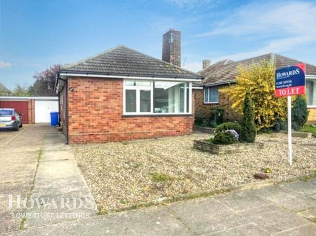
Orwell Drive, Lowestoft
By Howards Lettings
£ 1,150
Howards Lettings says ..
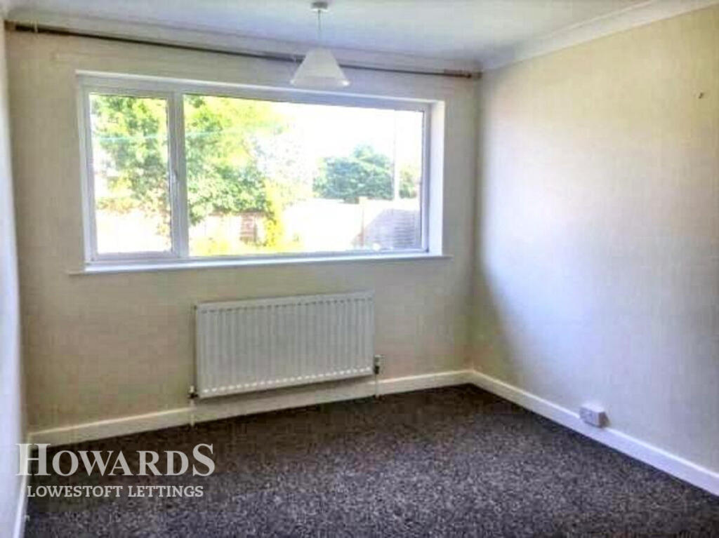
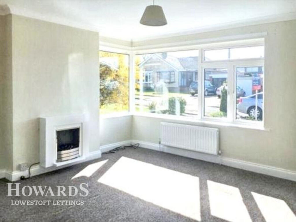
Level living life 3 Bed Bungalow
- Bedrooms
- 3
- Bathrooms
- 1
The heatmap indicates the level of crime in the area. The color of the heatmap indicates the crime severity and recency.
Metrics Year-on-Year
- Average area value
- 223,471.00 £Decreased by 26.58 %
- Average area rental value
- 1,004.00 £/moDecreased by 12.47 %
- Est rental Yield
- 5.39 %Increased by 19.25 %
- Crime Rate
- 5.00 %Unchanged by 0.00 %
from 304,373.00 £
from 1,147.00 £/mo
from 4.52 %
from 5.00 %
Agent Activity
Howards Lettings created the listing.
Nearby Schools
| Name | Type | Ofsted | Distance |
|---|---|---|---|
| Woods Loke Primary School | Academy Converter | 0.17 KM | |
| Benjamin Britten Academy Of Music And Mathematics | Academy Sponsor Led | Good | 1.07 KM |
| Roman Hill Children'S Centre | Children's Centre | 1.13 KM | |
| Village Rise Children'S Centre | Children's Centre | 1.13 KM | |
| The Limes Primary Academy | Free Schools | 1.72 KM |
Images

Nearby Streets
| Name | Average Price | Average Sqft | Distance |
|---|---|---|---|
| Lavenham Way | £ 270,000 | 0 | 0.00 KM |
| Nursery Close | £ 0 | 0 | 0.00 KM |
| Coppice Close | £ 270,000 | 0 | 0.00 KM |
| Sanders Close | £ 260,000 | 0 | 0.00 KM |
| Windemere Park | £ 0 | 0 | 0.00 KM |
Nearby Transport
| Name | NLC | TLC | Distance |
|---|---|---|---|
| Oulton Broad North | 7273 | OUN | 1.66 KM |
| Oulton Broad South | 7274 | OUS | 2.93 KM |
| Lowestoft | 7268 | LWT | 3.13 KM |
| Somerleyton | 7320 | SYT | 8.44 KM |
Nearby Listings
| Address | Price | Type | Score | Distance |
|---|---|---|---|---|
| Orwell Drive, Lowestoft | £ 1,150 | RENT | Unknown | 0.00 KM |
| Dedham Drive, Lowestoft | £ 850 | RENT | Unknown | 0.32 KM |
| Tunstall Drive, Lowestoft | £ 1,150 | RENT | Unknown | 0.41 KM |
| Tunstall Drive, Lowestoft | £ 1,150 | RENT | Unknown | 0.42 KM |
| Stirling Close, Lowestoft, Suffolk, NR32 | £ 750 | RENT | Unknown | 0.56 KM |
Nearby Properties
| Address | Price | Distance |
|---|---|---|
| 15 Orwell Drive | £ 199,995 | 0.02 KM |
| 6 Orwell Drive | £ 150,000 | 0.02 KM |
| 10 Orwell Drive | £ 210,000 | 0.02 KM |
| 7 Orwell Drive | £ 143,000 | 0.02 KM |
| 4 Orwell Drive | £ 176,000 | 0.02 KM |