CH
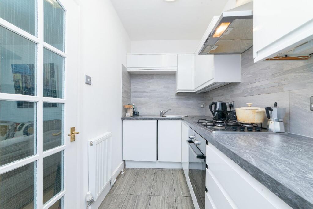
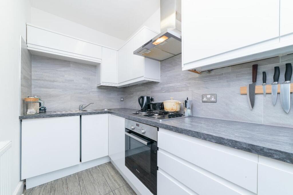
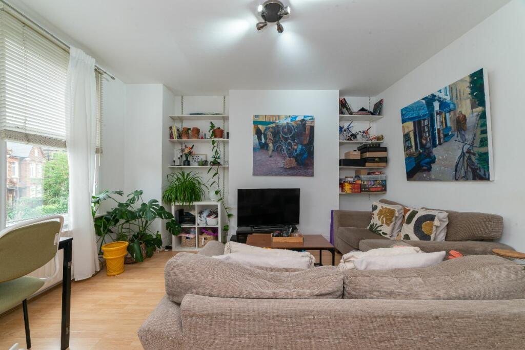
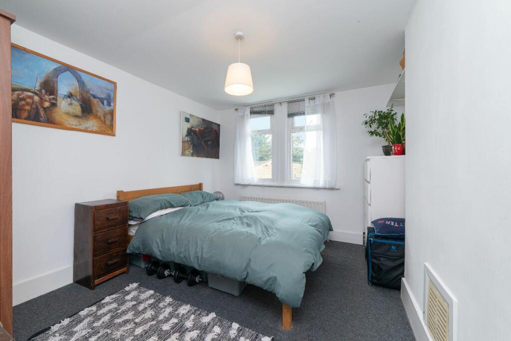
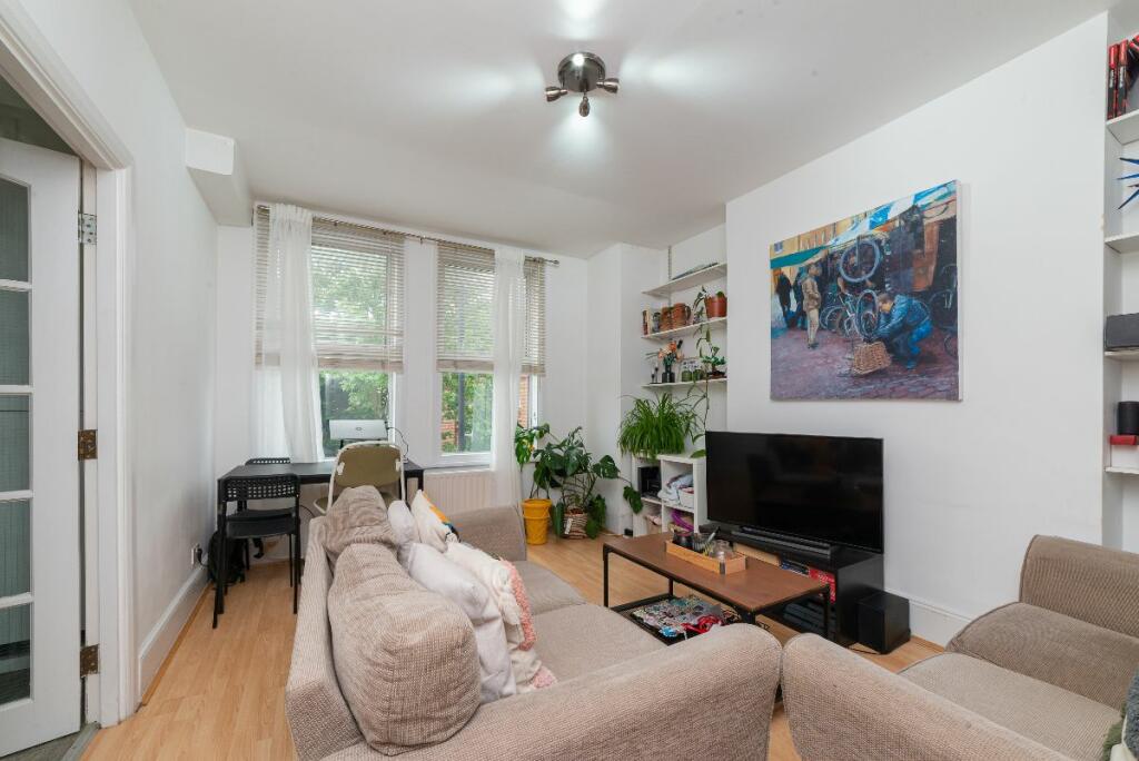
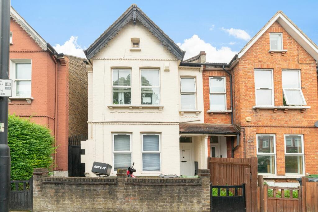
Flat, Croxted Road, London, SE24
By Charles Richardson
£ 1,850
Charles Richardson says ..
Herne Hill, Croxted Road, SE24 9DB
- Bedrooms
- 2
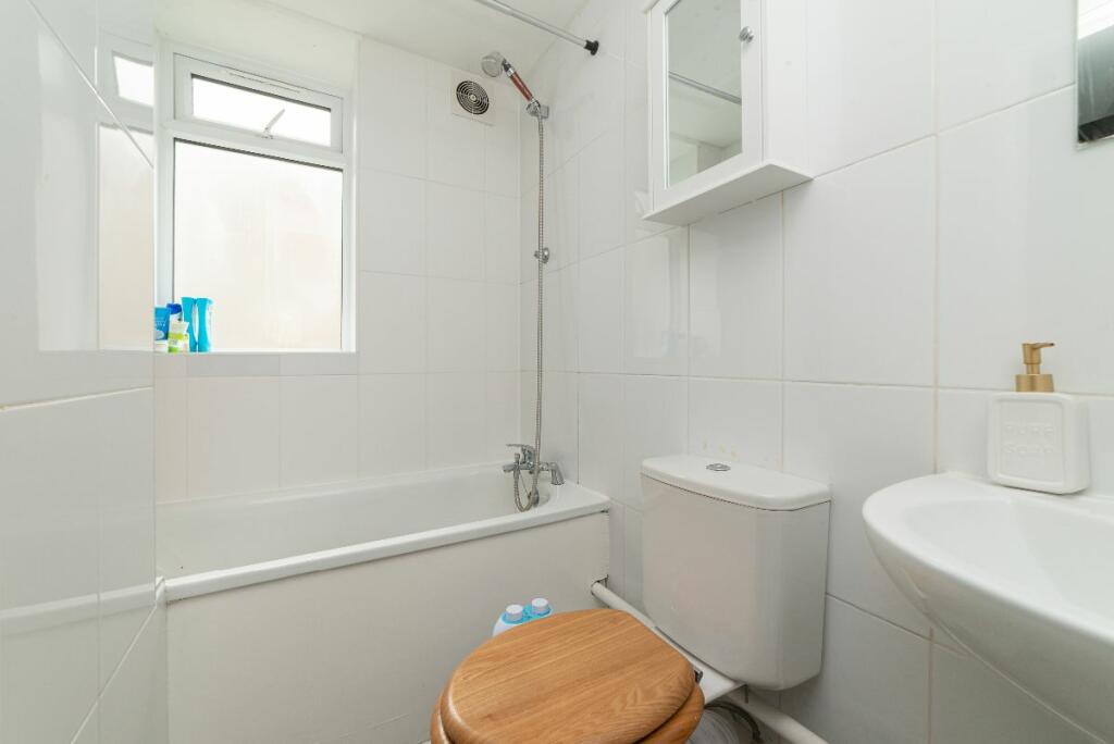
- Bathrooms
- 1
The heatmap indicates the level of crime in the area. The color of the heatmap indicates the crime severity and recency.
Metrics Year-on-Year
- Average area value
- 1,158,333.00 £Decreased by 5.42 %
- Average area rental value
- 2,794.00 £/moDecreased by 10.39 %
- Est rental Yield
- 2.89 %Decreased by 5.25 %
- Crime Rate
- 14.00 %Unchanged by 0.00 %
from 1,224,768.00 £
from 3,118.00 £/mo
from 3.05 %
from 14.00 %
Agent Activity
Charles Richardson created the listing.
Nearby Schools
| Name | Type | Ofsted | Distance |
|---|---|---|---|
| Turney Primary And Secondary Special School | Foundation Special School | Outstanding | 0.33 KM |
| Rosendale Primary School | Academy Converter | 0.41 KM | |
| Rosendale Primary School & Children'S Centre | Children's Centre | 0.47 KM | |
| Herne Hill School | Other Independent School | 0.59 KM | |
| St Jude'S Church Of England Primary School | Voluntary Aided School | Outstanding | 0.81 KM |
Images

Nearby Streets
| Name | Average Price | Average Sqft | Distance |
|---|---|---|---|
| Croxted Close | £ 0 | 0 | 0.00 KM |
| Half Moon Lane | £ 0 | 0 | 0.00 KM |
| Railton Road | £ 0 | 0 | 0.00 KM |
| Thurlow Park Road | £ 0 | 0 | 0.00 KM |
| Crosby Walk | £ 0 | 0 | 0.00 KM |
Nearby Transport
| Name | NLC | TLC | Distance |
|---|---|---|---|
| Herne Hill | 5066 | HNH | 0.52 KM |
| Tulse Hill | 5390 | TUH | 1.23 KM |
| West Dulwich | 5086 | WDU | 1.33 KM |
| North Dulwich | 5429 | NDL | 1.41 KM |
| Loughborough Junction | 5082 | LGJ | 1.89 KM |
Nearby Listings
| Address | Price | Type | Score | Distance |
|---|---|---|---|---|
| Croxted Road, Herne Hill, London, SE24 | £ 2,200 | RENT | Unknown | 0.08 KM |
| Norwood Road, London, SE24 | £ 1,999 | RENT | Unknown | 0.12 KM |
| Norwood Road, London, SE24 | £ 2,000 | RENT | Unknown | 0.13 KM |
| Norwood Road, Herne Hill | £ 1,500 | RENT | Unknown | 0.17 KM |
| Stradella Road, Dulwich, London, SE24 | £ 3,750 | RENT | Unknown | 0.17 KM |
Nearby Properties
| Address | Price | Distance |
|---|---|---|
| 339 Croxted Road | £ 839,000 | 0.01 KM |
| 311 Croxted Road | £ 665,000 | 0.01 KM |
| 313 Croxted Road | £ 1,316,000 | 0.01 KM |
| 327 Croxted Road | £ 790,500 | 0.01 KM |
| 335 Croxted Road | £ 330,000 | 0.01 KM |