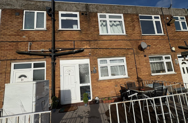

Browns Lane, B78
By National Residential
£ 90,000
National Residential says ..
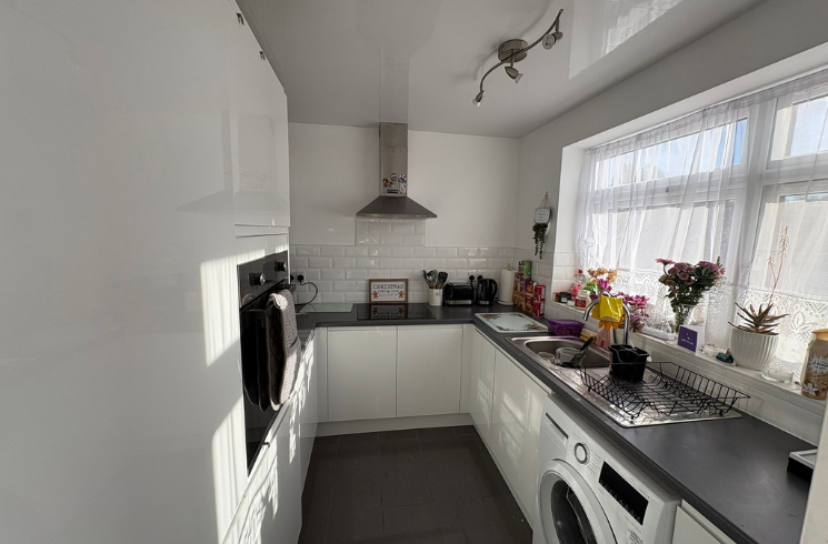
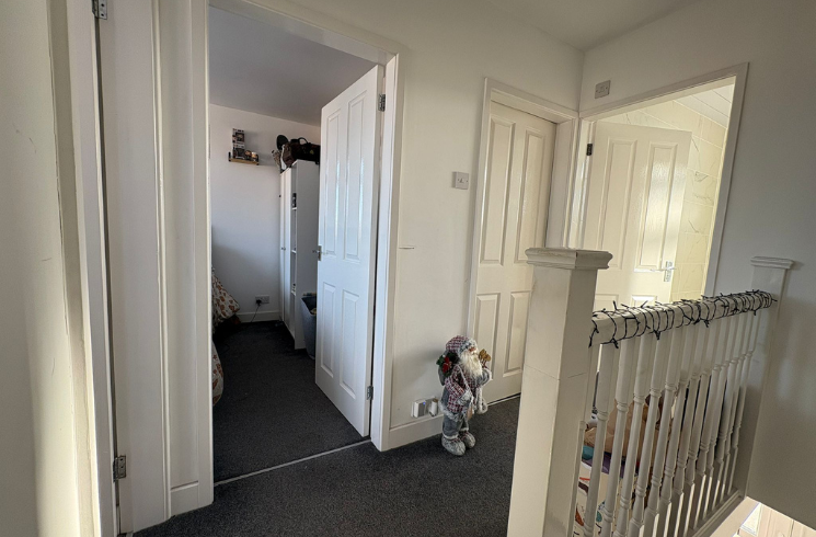
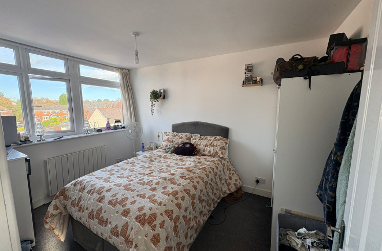
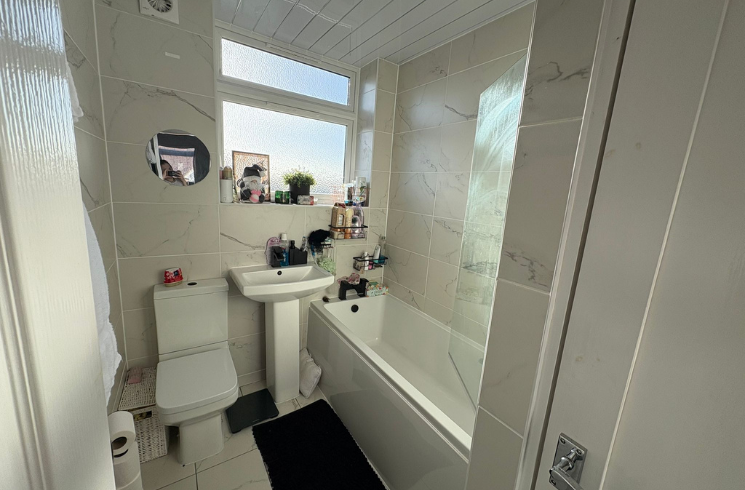
3-Bedroom Top-Floor Maisonette | Modern Interior | Spacious Two-Level Layout | Tenanted Investment Opportunity
- Bedrooms
- 3
- Bathrooms
- 1
The heatmap indicates the level of crime in the area. The color of the heatmap indicates the crime severity and recency.
Metrics Year-on-Year
- Average area value
- 233,333.00 £Decreased by 24.27 %
- Average area rental value
- 895.00 £/moDecreased by 2.61 %
- Est rental Yield
- 4.60 %Increased by 28.49 %
- Crime Rate
- 56.00 %Unchanged by 0.00 %
from 308,116.00 £
from 919.00 £/mo
from 3.58 %
from 56.00 %
Agent Activity
National Residential created the listing.
Nearby Schools
| Name | Type | Ofsted | Distance |
|---|---|---|---|
| Dordon Primary School | Academy Sponsor Led | Good | 0.38 KM |
| Birchwood Primary School | Academy Converter | Outstanding | 1.13 KM |
| The Polesworth School | Academy Converter | Outstanding | 1.20 KM |
| The Nethersole Cofe Academy | Academy Sponsor Led | Good | 2.43 KM |
| Woodside Cofe Primary School | Academy Converter | Good | 3.08 KM |
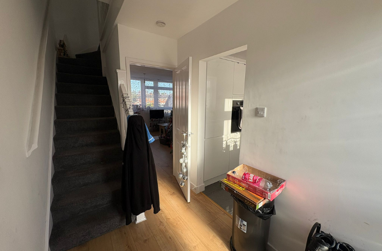
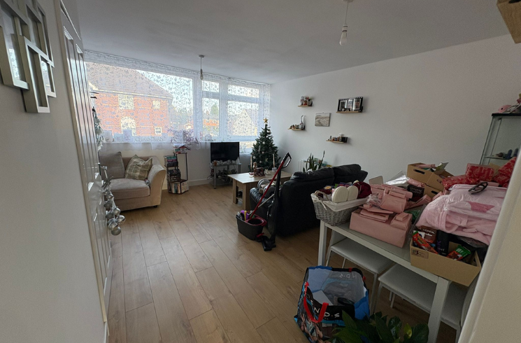
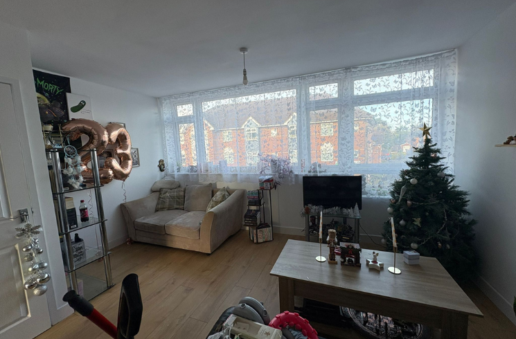
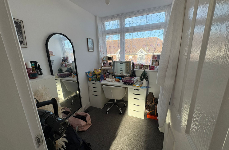
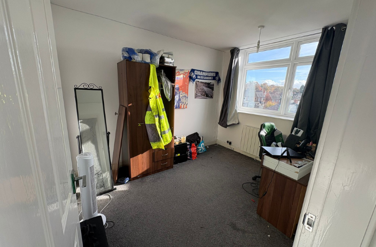
Images

Nearby Streets
| Name | Average Price | Average Sqft | Distance |
|---|---|---|---|
| Congrave Way | £ 0 | 0 | 0.00 KM |
| Gypsy Lane | £ 0 | 0 | 0.00 KM |
| Birchwood Avenue | £ 375,000 | 0 | 0.00 KM |
| Sycamore Avenue | £ 189,950 | 0 | 0.00 KM |
| Rowan Gardens | £ 0 | 0 | 0.00 KM |
Nearby Transport
| Name | NLC | TLC | Distance |
|---|---|---|---|
| Polesworth | 1078 | PSW | 2.84 KM |
| Wilnecote (Staffs) | 1056 | WNE | 7.15 KM |
| Atherstone | 1074 | ATH | 7.38 KM |
| Tamworth | 1322 | TAM | 8.81 KM |
Nearby Listings
| Address | Price | Type | Score | Distance |
|---|---|---|---|---|
| Browns Lane, B78 | £ 90,000 | BUY | Unknown | 0.00 KM |
| Browns Lane, Dordon, Tamworth, B78 1TR | £ 110,000 | BUY | 4 / 10 | 0.00 KM |
| Browns Lane, Dordon, Tamworth, B78 1TR | £ 100,000 | BUY | 4 / 10 | 0.00 KM |
| Browns Lane, Dordon, Tamworth | £ 390,000 | BUY | 7 / 10 | 0.03 KM |
| Congrave Way, Tamworth, B78 | £ 210,000 | BUY | Unknown | 0.07 KM |
Nearby Properties
| Address | Price | Distance |
|---|---|---|
| 11a Browns Lane | £ 58,500 | 0.01 KM |
| 7a Browns Lane | £ 69,500 | 0.01 KM |
| 13a Browns Lane | £ 69,950 | 0.01 KM |
| 8 Browns Lane | £ 150,000 | 0.04 KM |
| 2 Browns Lane | £ 170,000 | 0.04 KM |