KI
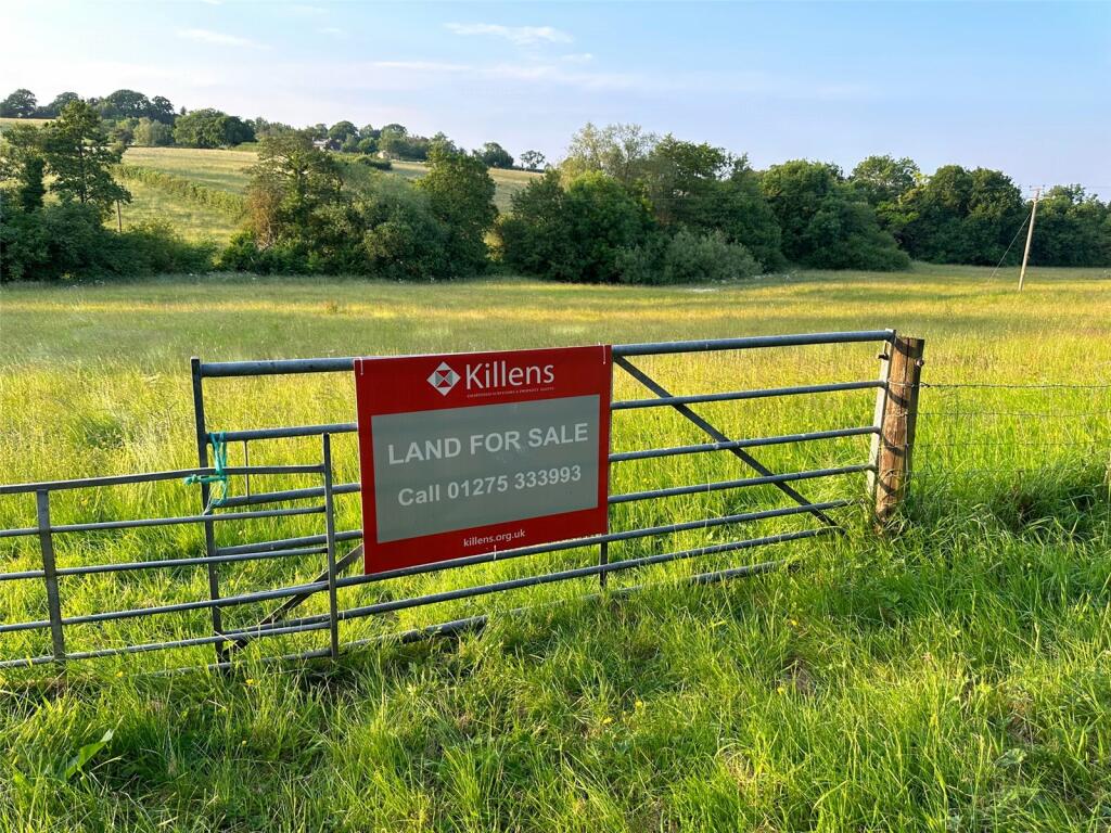
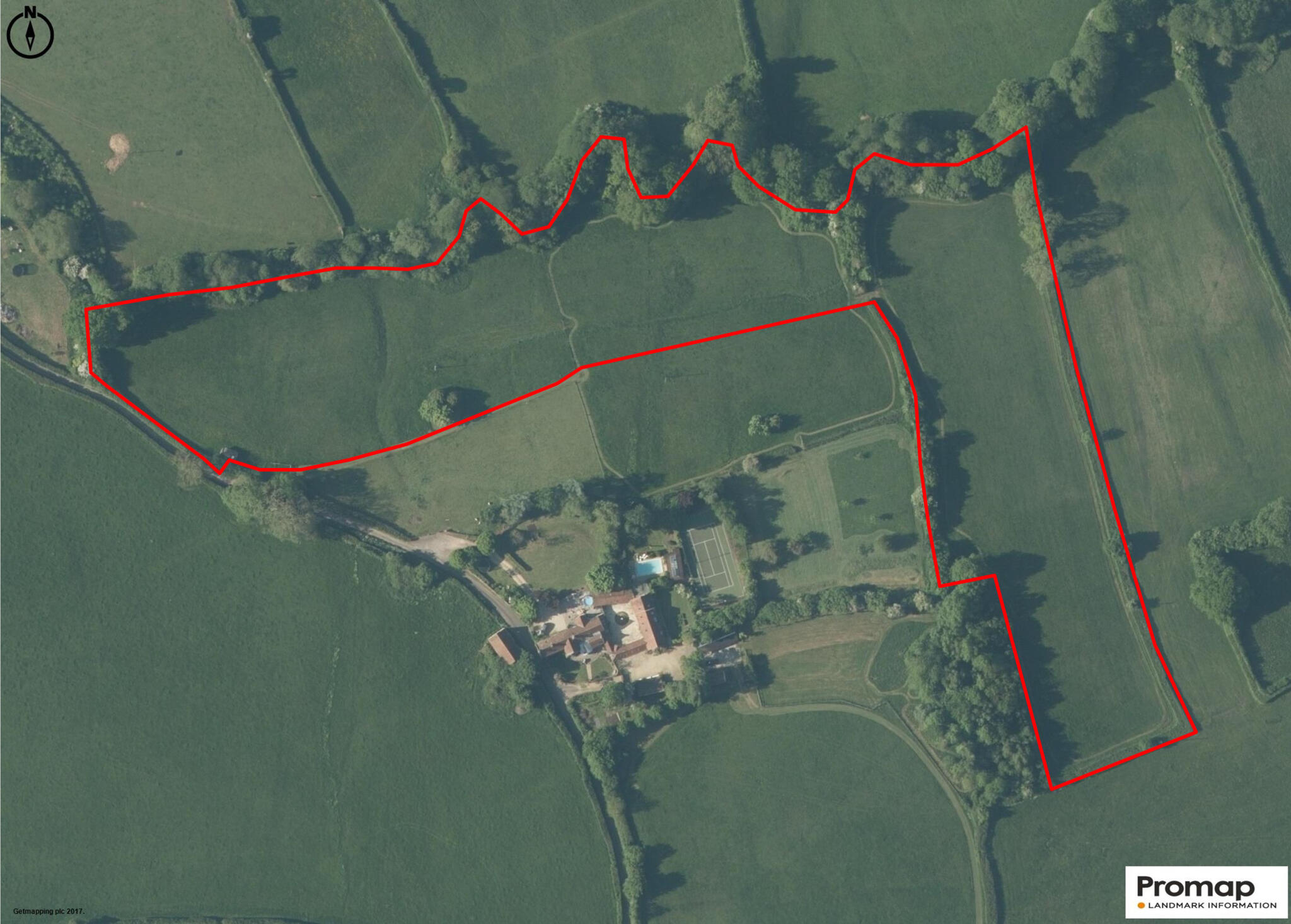
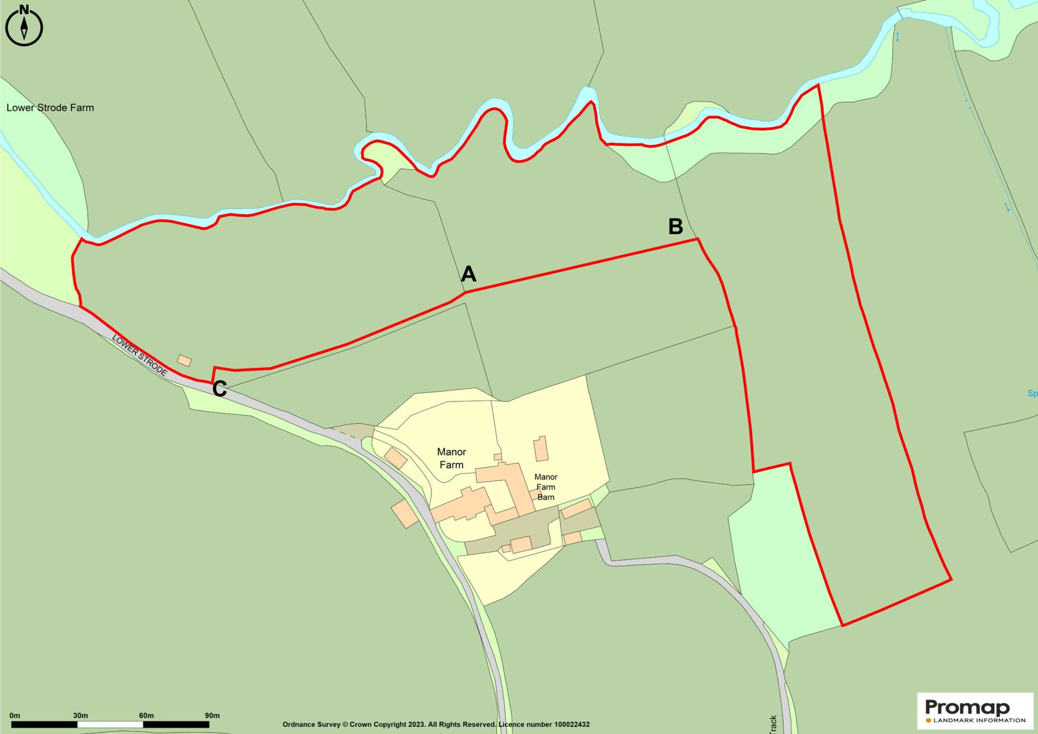
Land at Lower Strode, Chew Stoke
By Killens
£ 120,000
Killens says ..
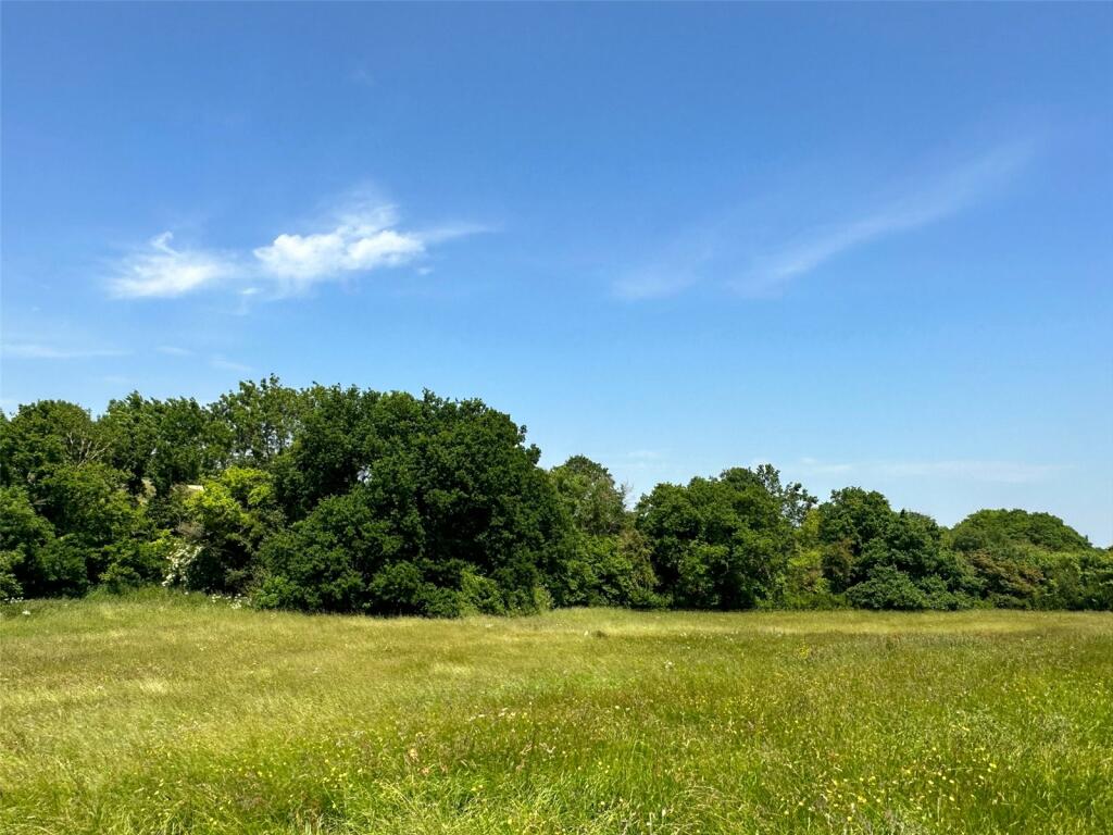
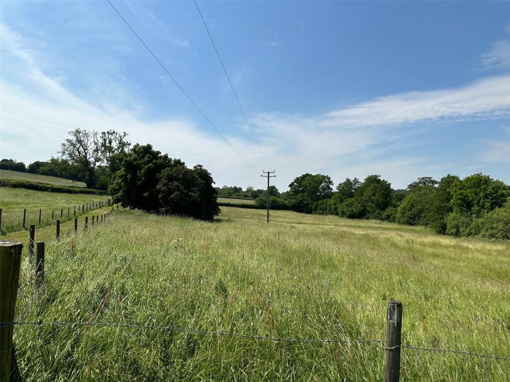
7.8 acres of permanent pasture with river and lane frontage
- Bedrooms
- 0
- Bathrooms
- 0
The heatmap indicates the level of crime in the area. The color of the heatmap indicates the crime severity and recency.
Metrics Year-on-Year
- Average area value
- 881,250.00 £Increased by 10.74 %
- Average area rental value
- 1,300.00 £/moDecreased by 43.36 %
- Est rental Yield
- 1.77 %Decreased by 48.84 %
- Crime Rate
- 0.00 %
from 795,785.00 £
from 2,295.00 £/mo
from 3.46 %
from 0.00 %
Agent Activity
Killens created the listing.
Nearby Schools
| Name | Type | Ofsted | Distance |
|---|---|---|---|
| Chew Stoke Church School | Academy Converter | Good | 2.30 KM |
| Ubley Church Of England Primary School | Academy Converter | 3.59 KM | |
| Winford Church Of England Primary School | Academy Converter | 3.81 KM | |
| Chew Valley School | Academy Converter | 4.16 KM | |
| Chew Valley Children'S Centre | Children's Centre | 4.66 KM |
Images


Nearby Listings
| Address | Price | Type | Score | Distance |
|---|---|---|---|---|
| Gravel Hill, Regil, North Somerset, BS40 | £ 80,000 | COMMERCIAL_BUY | Unknown | 0.39 KM |
Nearby Properties
| Address | Price | Distance |
|---|---|---|
| Laurel Farm | £ 619,000 | 0.80 KM |
| Wapsell Cottage | £ 520,000 | 0.80 KM |
| Jasmine Cottage | £ 305,000 | 1.21 KM |
| Rookery Farm | £ 418,500 | 1.25 KM |
| The Old Bakery | £ 392,000 | 1.25 KM |