HA
The Lant,Shepshed,LE12
By Hamlets
£ 675
Hamlets says ..
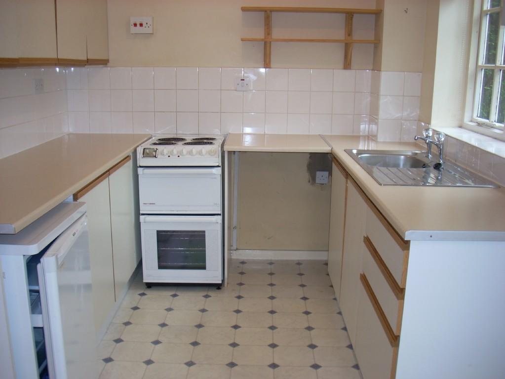
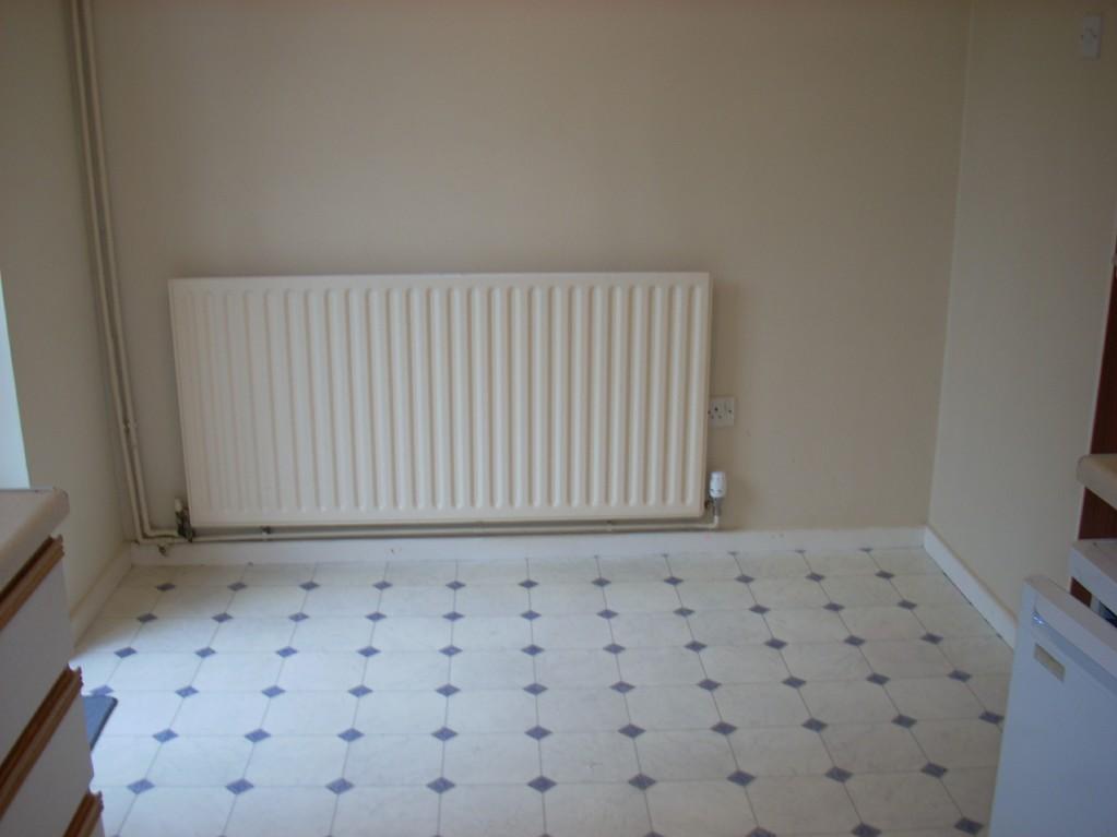
TWO BEDROOMED SEMI DETACHED HOUSE JUST OFF VILLAGE CENTRE WITHIN WALKING DISTANCE OF SHOPS AND AMENITIES. GAS CENTRAL HEATING., DOUBLE GLAZING. OFF ROAD PARKING TO REAR GARDEN. SITTING ROOM, DINING KITCHEN, 2 BEDS AND MODERN BATHROOM WITH SHOWER. Available July 2023
- Bedrooms
- 2
- Bathrooms
- 0
The heatmap indicates the level of crime in the area. The color of the heatmap indicates the crime severity and recency.
Metrics Year-on-Year
- Average area value
- 607,500.00 £Increased by 4.15 %
- Average area rental value
- 1,328.00 £/moDecreased by 13.15 %
- Est rental Yield
- 2.62 %Decreased by 16.83 %
- Crime Rate
- 15.00 %Unchanged by 0.00 %
from 583,319.00 £
from 1,529.00 £/mo
from 3.15 %
from 15.00 %
Agent Activity
Hamlets created the listing.
Nearby Schools
| Name | Type | Ofsted | Distance |
|---|---|---|---|
| St Botolph'S Church Of England Primary School | Voluntary Controlled School | Good | 0.43 KM |
| Saint Winefride'S Catholic Voluntary Academy, Shepshed, Leicestershire | Academy Converter | Good | 0.54 KM |
| Oakfield School | Pupil Referral Unit | Good | 0.63 KM |
| Iveshead School | Community School | Good | 0.63 KM |
| Newcroft Primary Academy | Academy Converter | 0.71 KM |
Images


Nearby Streets
| Name | Average Price | Average Sqft | Distance |
|---|---|---|---|
| Queen Street | £ 159,950 | 0 | 0.00 KM |
| Bull Ring | £ 0 | 0 | 0.00 KM |
| Bull Ring | £ 0 | 0 | 0.00 KM |
| Mulberry Court | £ 0 | 0 | 0.00 KM |
| Deacon Close | £ 0 | 0 | 0.00 KM |
Nearby Listings
| Address | Price | Type | Score | Distance |
|---|---|---|---|---|
| Danvers Lane, Shepshed, LE12 9RN | £ 850 | RENT | Unknown | 0.05 KM |
| Kirkhill, Shepshed, LE12 | £ 875 | RENT | Unknown | 0.17 KM |
| Forest Street, Shepshed, LE12 | £ 725 | RENT | Unknown | 0.26 KM |
| Field Street, Shepshed, Loughborough | £ 750 | RENT | Unknown | 0.28 KM |
| Harrimans Mill, Garendon Road, Shepshed, LE12 | £ 800 | RENT | Unknown | 0.33 KM |
Nearby Properties
| Address | Price | Distance |
|---|---|---|
| 26 The Lant | £ 146,000 | 0.00 KM |
| 12 The Lant | £ 125,000 | 0.00 KM |
| 6 The Lant | £ 112,000 | 0.00 KM |
| 43 The Lant | £ 133,000 | 0.00 KM |
| 58 The Lant | £ 169,950 | 0.00 KM |