MA
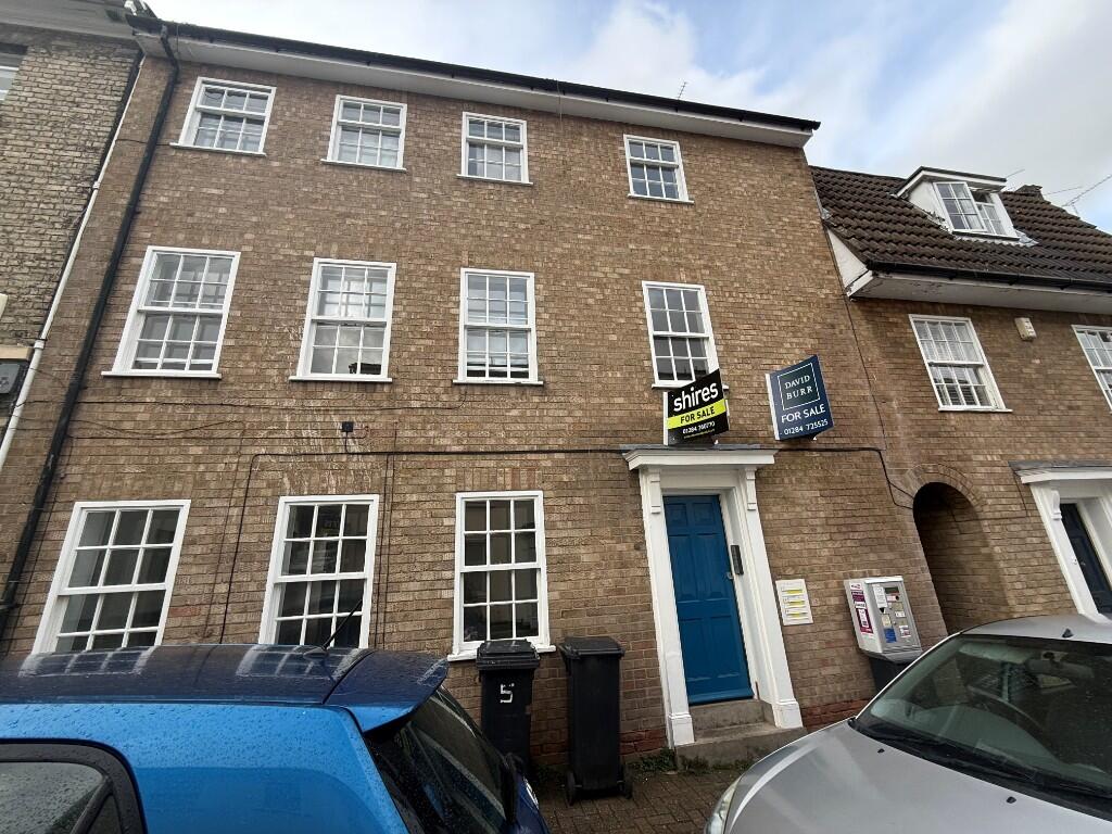
Churchgate Street, Bury St. Edmunds, Suffolk, IP33
By Map Letting & Property Management
£ 825
Map Letting & Property Management says ..
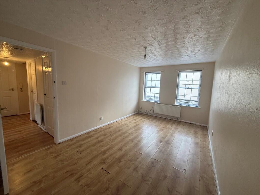
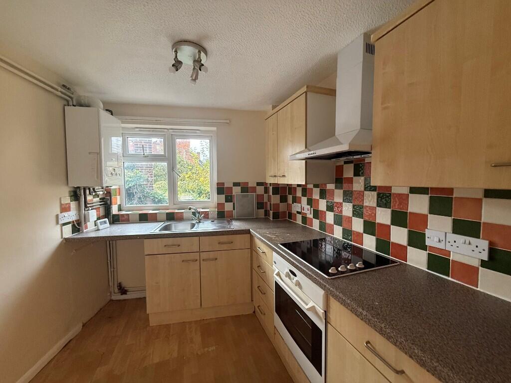
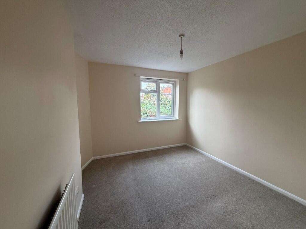
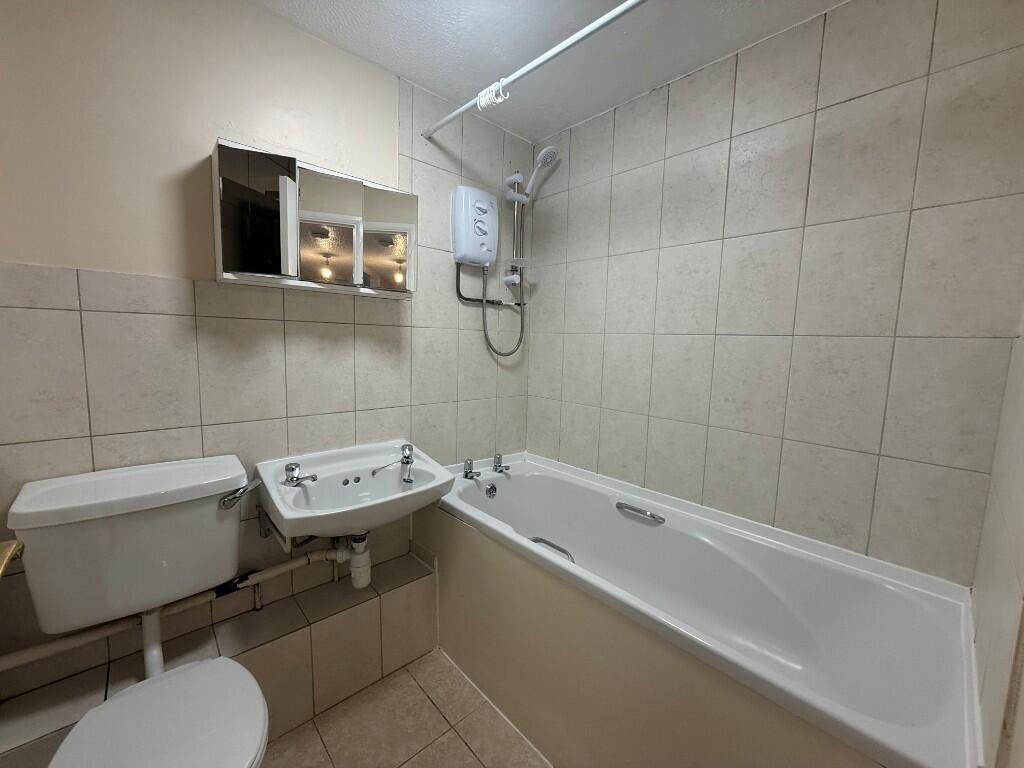
Spacious first floor apartment situated in the centre of the town.
- Bedrooms
- 2
- Bathrooms
- 1
The heatmap indicates the level of crime in the area. The color of the heatmap indicates the crime severity and recency.
Metrics Year-on-Year
- Average area value
- 388,333.00 £Decreased by 1.98 %
- Average area rental value
- 1,597.00 £/moIncreased by 18.47 %
- Est rental Yield
- 4.93 %Increased by 20.83 %
- Crime Rate
- 5.00 %Unchanged by 0.00 %
from 396,178.00 £
from 1,348.00 £/mo
from 4.08 %
from 5.00 %
Agent Activity
Map Letting & Property Management created the listing.
Nearby Schools
| Name | Type | Ofsted | Distance |
|---|---|---|---|
| St Edmund'S Catholic Primary School | Voluntary Aided School | Good | 0.33 KM |
| Guildhall Feoffment Community Primary School | Community School | Good | 0.42 KM |
| Bury Library Children'S Centre | Children's Centre | 0.51 KM | |
| Learning Support, Western Area Education Office | Miscellaneous | 1.05 KM | |
| Westgate Community Primary School And Nursery | Community School | Good | 1.14 KM |
Images

Nearby Streets
| Name | Average Price | Average Sqft | Distance |
|---|---|---|---|
| Plumptons Court | £ 0 | 0 | 0.00 KM |
| Buttermarket | £ 0 | 0 | 0.00 KM |
| Market Square | £ 0 | 0 | 0.00 KM |
| Tuns Lane | £ 0 | 0 | 0.00 KM |
| Elsey's Yard | £ 0 | 0 | 0.00 KM |
Nearby Transport
| Name | NLC | TLC | Distance |
|---|---|---|---|
| Bury St Edmunds | 7008 | BSE | 1.17 KM |
Nearby Listings
| Address | Price | Type | Score | Distance |
|---|---|---|---|---|
| Churchgate Street, Bury St. Edmunds, Suffolk, IP33 | £ 825 | RENT | Unknown | 0.00 KM |
| Churchgate Street, Bury St Edmunds | £ 630 | RENT | Unknown | 0.01 KM |
| Churchgate Street, Bury St Edmunds | £ 700 | RENT | Unknown | 0.01 KM |
| Churchgate Street, Bury St. Edmunds | £ 1,550 | RENT | Unknown | 0.04 KM |
| Whiting Street, Bury St Edmunds | £ 1,000 | RENT | Unknown | 0.05 KM |
Nearby Properties
| Address | Price | Distance |
|---|---|---|
| 5 Churchgate Street | £ 50,000 | 0.00 KM |
| 9 Churchgate Street | £ 45,000 | 0.00 KM |
| 10 Churchgate Street | £ 122,500 | 0.00 KM |
| 2 Churchgate Street | £ 300,000 | 0.00 KM |
| 4 Churchgate Street | £ 60,000 | 0.00 KM |