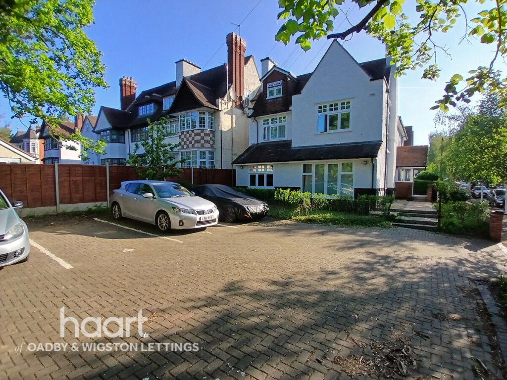

Morland Avenue, LEICESTER
By haart
£ 1,200
haart says ..
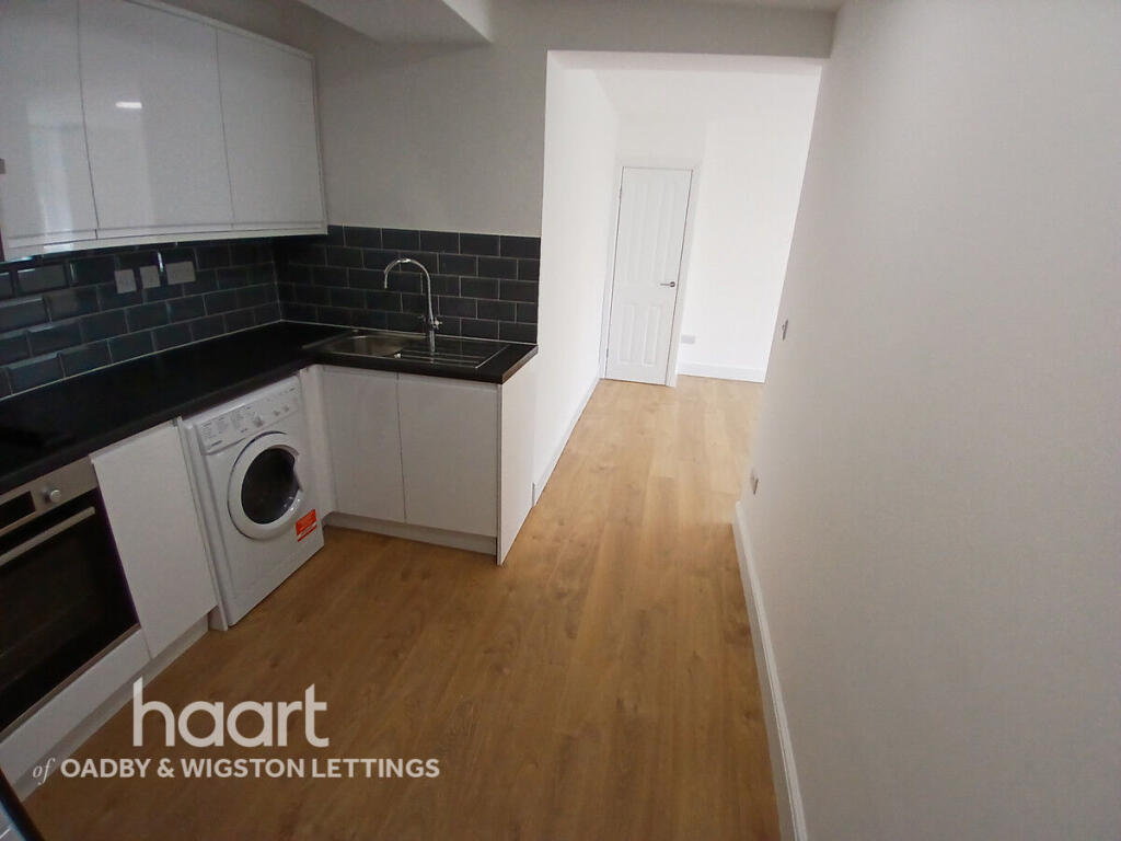
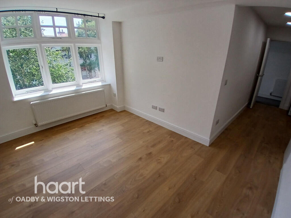
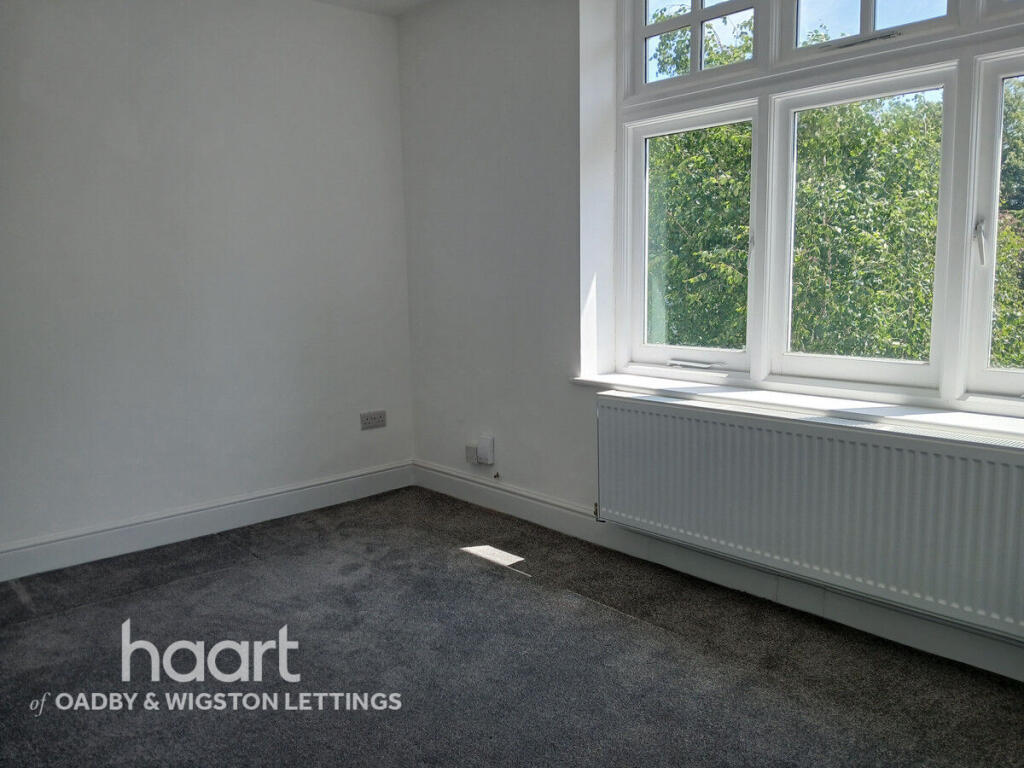
A fantastic 2 bedroom apartment
- Bedrooms
- 2
- Bathrooms
- 1
The heatmap indicates the level of crime in the area. The color of the heatmap indicates the crime severity and recency.
Metrics Year-on-Year
- Average area value
- 404,688.00 £Increased by 2.85 %
- Average area rental value
- 788.00 £/moDecreased by 23.79 %
- Est rental Yield
- 2.34 %Decreased by 25.71 %
- Crime Rate
- 0.00 %
from 393,475.00 £
from 1,034.00 £/mo
from 3.15 %
from 0.00 %
Agent Activity
haart created the listing.
Nearby Schools
| Name | Type | Ofsted | Distance |
|---|---|---|---|
| Leicester High School For Girls | Other Independent School | 0.21 KM | |
| Leicester Islamic Academy | Other Independent School | Good | 1.25 KM |
| St Thomas More Catholic Voluntary Academy | Academy Converter | 1.29 KM | |
| Leicester Partnership School | Pupil Referral Unit | Good | 1.35 KM |
| Leicester Preparatory School | Other Independent School | 1.38 KM |
Images


Nearby Streets
| Name | Average Price | Average Sqft | Distance |
|---|---|---|---|
| Knighton Grange Road | £ 129,950 | 0 | 0.00 KM |
| The Orchard | £ 0 | 0 | 0.00 KM |
| Stoughton Avenue | £ 0 | 0 | 0.00 KM |
| St. David's Crescent | £ 0 | 0 | 0.00 KM |
| Francis Walk | £ 0 | 0 | 0.00 KM |
Nearby Transport
| Name | NLC | TLC | Distance |
|---|---|---|---|
| Leicester | 1947 | LEI | 3.74 KM |
| South Wigston | 1949 | SWS | 4.91 KM |
| Syston | 1900 | SYS | 9.58 KM |
Nearby Listings
| Address | Price | Type | Score | Distance |
|---|---|---|---|---|
| Morland Avenue, LEICESTER | £ 1,200 | RENT | Unknown | 0.00 KM |
| London Road, Leicester, | £ 725 | RENT | Unknown | 0.05 KM |
| The Hollies, 209 London Road, Leicester | £ 850 | RENT | Unknown | 0.05 KM |
| London Road, Leicester, | £ 750 | RENT | Unknown | 0.05 KM |
| Morland Avenue, Leicester | £ 1,050 | RENT | Unknown | 0.13 KM |
Nearby Properties
| Address | Price | Distance |
|---|---|---|
| 22 Holbrook Road | £ 95,000 | 0.18 KM |
| 42 Holbrook Road | £ 125,000 | 0.18 KM |
| 462 London Road | £ 345,000 | 0.18 KM |
| 452 London Road | £ 210,000 | 0.18 KM |
| 456 London Road | £ 475,000 | 0.18 KM |