A
Burnham On Sea, Somerset, TA8
By A & F
£ 1,050
A & F says ..
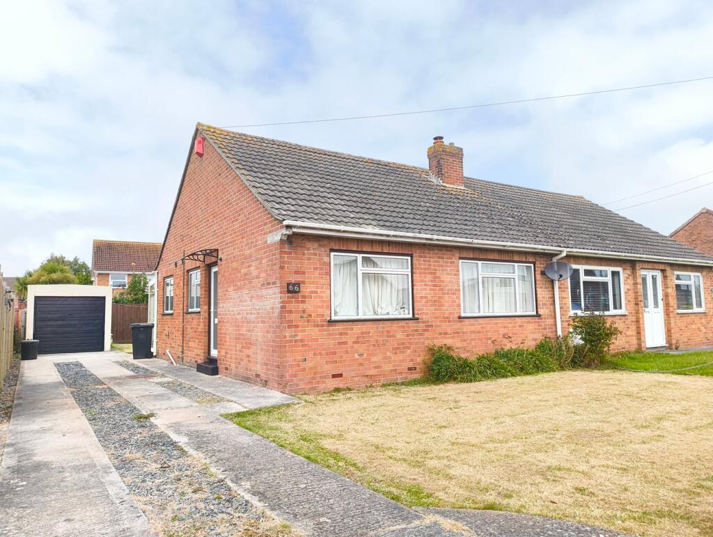
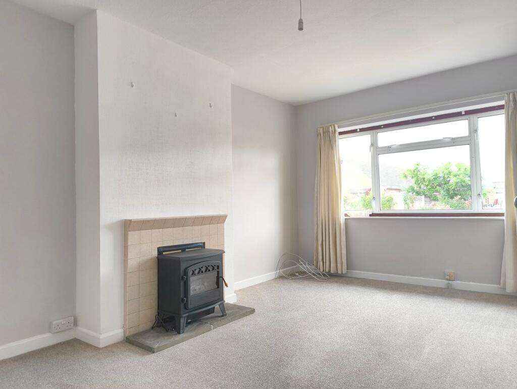
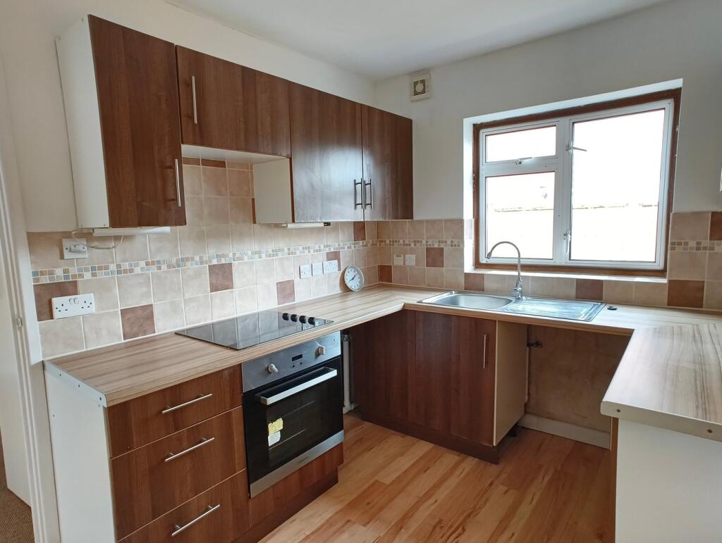
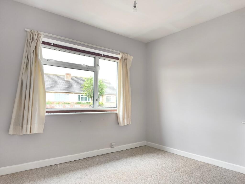
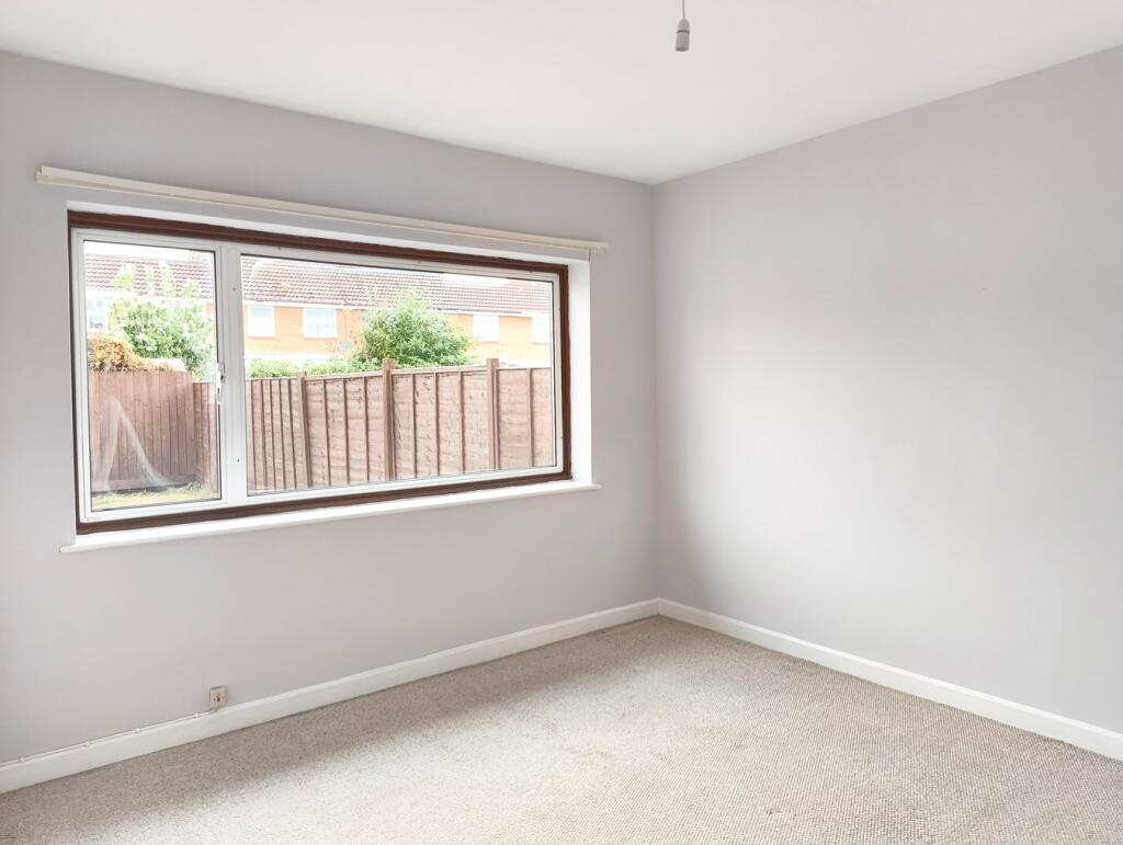
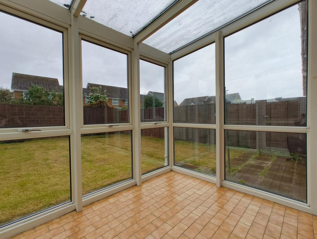
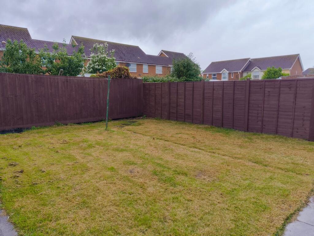
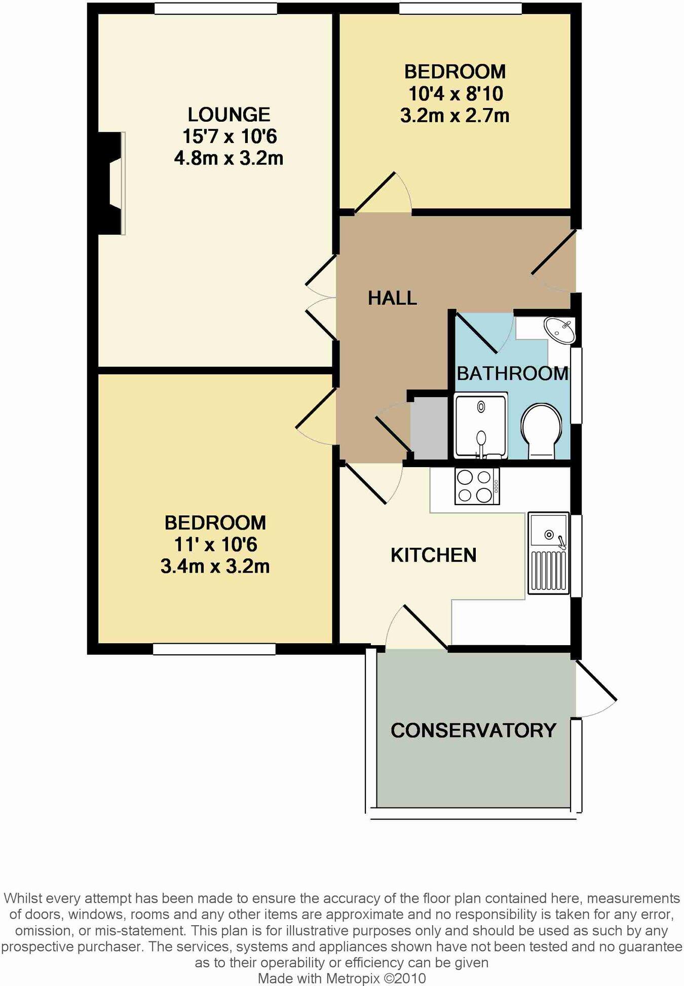
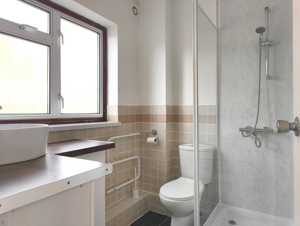
A 2 BEDROOM SEMI-DETACHED BUNGLAOW WHICH HAS BEEN THE SUBJECT OF IMPROVEMENT 'TO LET' WITH GARDENS & GARAGE
- Bedrooms
- 2
- Bathrooms
- 1
The heatmap indicates the level of crime in the area. The color of the heatmap indicates the crime severity and recency.
Metrics Year-on-Year
- Average area value
- 277,658.00 £Decreased by 1.13 %
- Average area rental value
- 942.00 £/moDecreased by 17.59 %
- Est rental Yield
- 4.07 %Decreased by 16.60 %
- Crime Rate
- 13.00 %Unchanged by 0.00 %
from 280,828.00 £
from 1,143.00 £/mo
from 4.88 %
from 13.00 %
Agent Activity
A & F created the listing.
Nearby Schools
| Name | Type | Ofsted | Distance |
|---|---|---|---|
| St Andrew'S Church Of England Voluntary Controlled Junior School | Voluntary Controlled School | Good | 0.67 KM |
| Burnham-On-Sea Building | Children's Centre Linked Site | 0.83 KM | |
| Burnham-On-Sea Community Infant School | Community School | Outstanding | 0.93 KM |
| The King Alfred School An Academy | Academy Sponsor Led | 0.98 KM | |
| Churchfield Church School | Academy Sponsor Led | Good | 1.77 KM |
Images
Nearby Streets
| Name | Average Price | Average Sqft | Distance |
|---|---|---|---|
| Rosewood Drive | £ 296,000 | 0 | 0.00 KM |
| Bishop's Path | £ 0 | 0 | 0.00 KM |
| Priory Gardens | £ 220,000 | 0 | 0.00 KM |
| Friars Way | £ 435,000 | 0 | 0.00 KM |
| Sutherland Avenue | £ 244,983 | 0 | 0.00 KM |
Nearby Transport
| Name | NLC | TLC | Distance |
|---|---|---|---|
| Highbridge And Burnham | 3314 | HIG | 2.56 KM |
Nearby Listings
| Address | Price | Type | Score | Distance |
|---|---|---|---|---|
| Ashcott Drive, Burnham-on-Sea, TA8 | £ 1,250 | RENT | Unknown | 0.24 KM |
| Ashcott Drive, Burnham-on-Sea, TA8 | £ 1,250 | RENT | Unknown | 0.24 KM |
| Barrie Way, Burnham-On-Sea | £ 1,600 | RENT | Unknown | 0.30 KM |
| Wilde Close, Burnham-On-Sea, Somerset, TA8 | £ 1,400 | RENT | Unknown | 0.59 KM |
| Lynton Road, Burnham-On-Sea | £ 1,150 | RENT | Unknown | 0.60 KM |
Nearby Properties
| Address | Price | Distance |
|---|---|---|
| 46 Rosewood Avenue | £ 345,000 | 0.03 KM |
| 45 Rosewood Avenue | £ 156,500 | 0.03 KM |
| 68 Rosewood Avenue | £ 155,000 | 0.03 KM |
| 66 Rosewood Avenue | £ 112,500 | 0.03 KM |
| 55 Rosewood Avenue | £ 184,950 | 0.03 KM |