GO
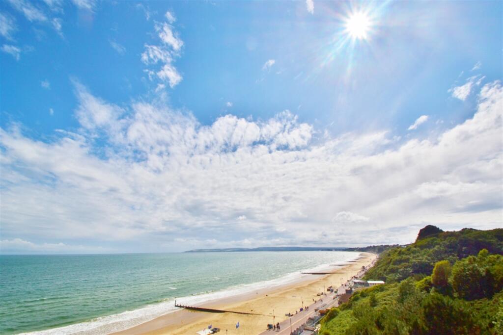
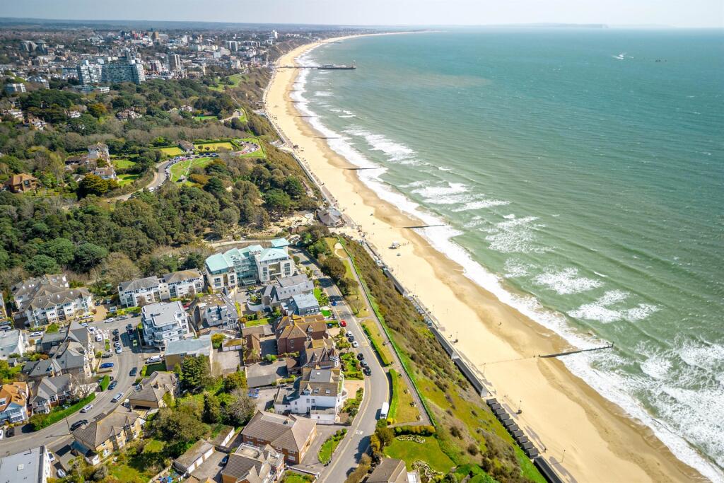
Bournemouth
By Goadsby
£ 750
Goadsby says ..
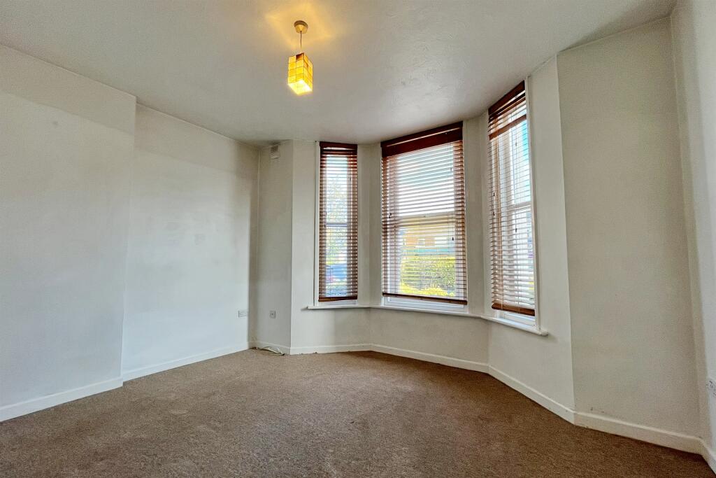
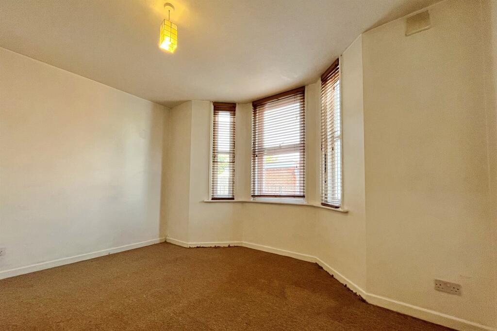
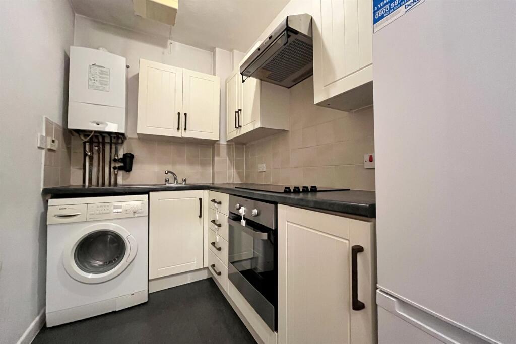
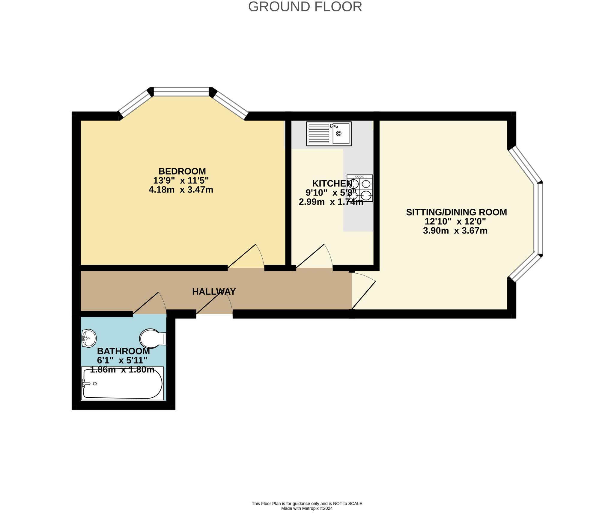
GROUND FLOOR MODERN PROPERTY SITUATED IN A CHARACTER CONVERSION - Offered to the market unfurnished with parking.
- Bedrooms
- 1
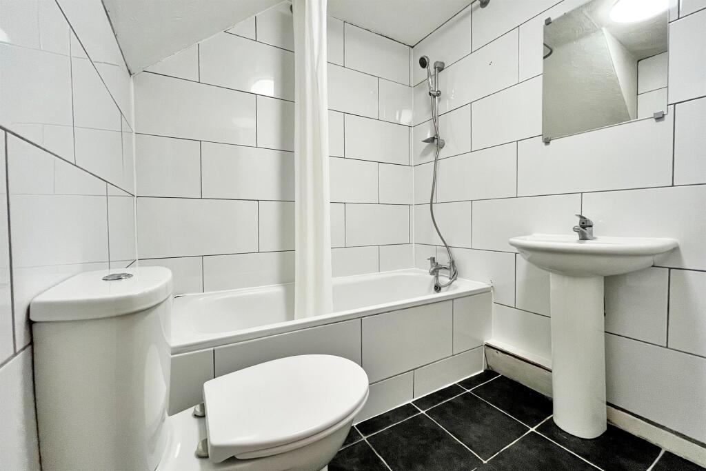
- Bathrooms
- 1
The heatmap indicates the level of crime in the area. The color of the heatmap indicates the crime severity and recency.
Metrics Year-on-Year
- Average area value
- 264,167.00 £Decreased by 12.20 %
- Average area rental value
- 1,097.00 £/moDecreased by 17.58 %
- Est rental Yield
- 4.98 %Decreased by 6.21 %
- Crime Rate
- 9.00 %Unchanged by 0.00 %
from 300,857.00 £
from 1,331.00 £/mo
from 5.31 %
from 9.00 %
Agent Activity
Goadsby created the listing.
Nearby Schools
| Name | Type | Ofsted | Distance |
|---|---|---|---|
| Malmesbury Park Primary School | Academy Converter | Good | 0.43 KM |
| Cambian Wing College | Special Post 16 Institution | Good | 0.91 KM |
| Bethany Church Of England Junior School | Academy Converter | Requires improvement | 0.99 KM |
| St Clement'S And St John'S Church Of England Infant School | Academy Converter | Good | 1.11 KM |
| Livingstone Academy Bournemouth | Free Schools | 1.24 KM |
Images

Nearby Streets
| Name | Average Price | Average Sqft | Distance |
|---|---|---|---|
| Carlton Walk | £ 0 | 0 | 0.00 KM |
| Holdenhurst Road | £ 0 | 0 | 0.00 KM |
| Avon Walk | £ 0 | 0 | 0.00 KM |
| Oak Road | £ 500,000 | 0 | 0.00 KM |
| Hampton Place | £ 0 | 0 | 0.00 KM |
Nearby Transport
| Name | NLC | TLC | Distance |
|---|---|---|---|
| Bournemouth | 5876 | BMH | 0.68 KM |
| Pokesdown | 5885 | POK | 3.71 KM |
| Branksome | 5875 | BSM | 6.76 KM |
| Christchurch | 5879 | CHR | 8.25 KM |
| Parkstone (Dorset) | 5882 | PKS | 9.90 KM |
Nearby Listings
| Address | Price | Type | Score | Distance |
|---|---|---|---|---|
| Bournemouth | £ 750 | RENT | Unknown | 0.00 KM |
| Elwyn Road | £ 1,450 | RENT | Unknown | 0.07 KM |
| Windham Road, Bournemouth | £ 2,300 | RENT | Unknown | 0.09 KM |
| 6 bedroom Terraced House in Bournemouth | £ 3,150 | RENT | Unknown | 0.11 KM |
| Lytton Road, Bournemouth | £ 2,060 | RENT | Unknown | 0.11 KM |
Nearby Properties
| Address | Price | Distance |
|---|---|---|
| 211 Holdenhurst Road | £ 1,585,998 | 0.02 KM |
| 207 Holdenhurst Road | £ 60,000 | 0.02 KM |
| 209 Holdenhurst Road | £ 283,000 | 0.02 KM |
| 213 Holdenhurst Road | £ 128,000 | 0.02 KM |
| 222 Holdenhurst Road | £ 34,000 | 0.04 KM |