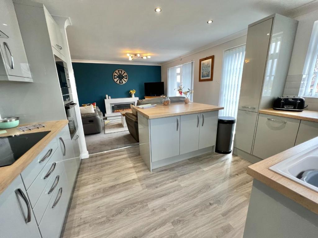
RO
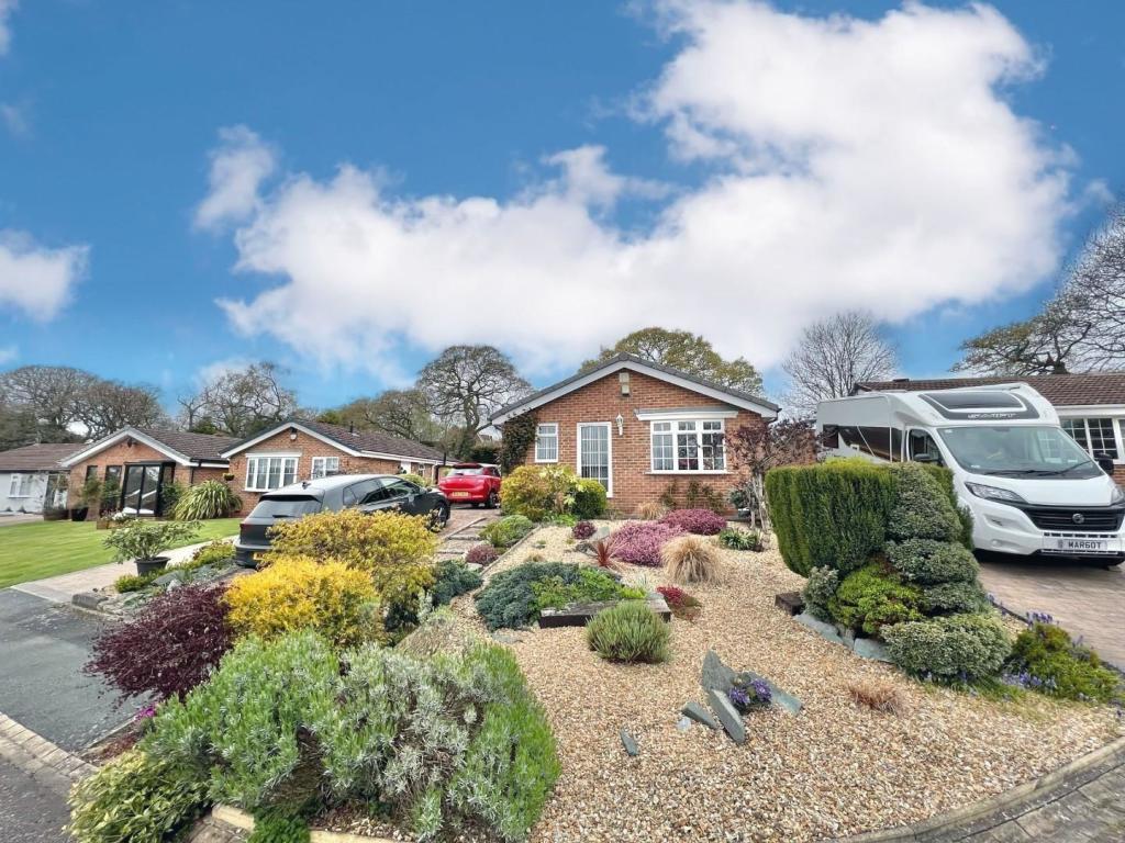
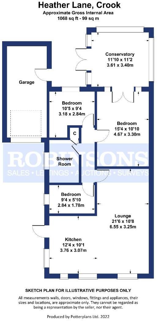
Heather Lane, Crook
By Robinsons
£ 1
Robinsons says ..
* APPLICATION TAKEN * NO LONGER AVAILABLE *
- Bedrooms
- 3
- Bathrooms
- 1
The heatmap indicates the level of crime in the area. The color of the heatmap indicates the crime severity and recency.
Metrics Year-on-Year
- Average area value
- 91,250.00 £Decreased by 43.42 %
- Average area rental value
- 550.00 £/moDecreased by 6.14 %
- Est rental Yield
- 7.23 %Increased by 65.83 %
- Crime Rate
- 0.00 %
from 161,287.00 £
from 586.00 £/mo
from 4.36 %
from 0.00 %
Agent Activity
Robinsons created the listing.
Nearby Schools
| Name | Type | Ofsted | Distance |
|---|---|---|---|
| Hartside Primary Academy | Academy Converter | 1.29 KM | |
| Crook Primary School | Community School | Good | 1.49 KM |
| Howden-Le-Wear Primary School | Academy Converter | 2.05 KM | |
| Peases West Primary School | Community School | Good | 2.41 KM |
| St Cuthberts Roman Catholic Voluntary Aided Primary School | Voluntary Aided School | Good | 2.45 KM |
Images

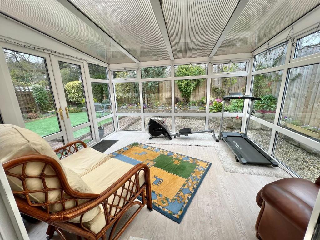
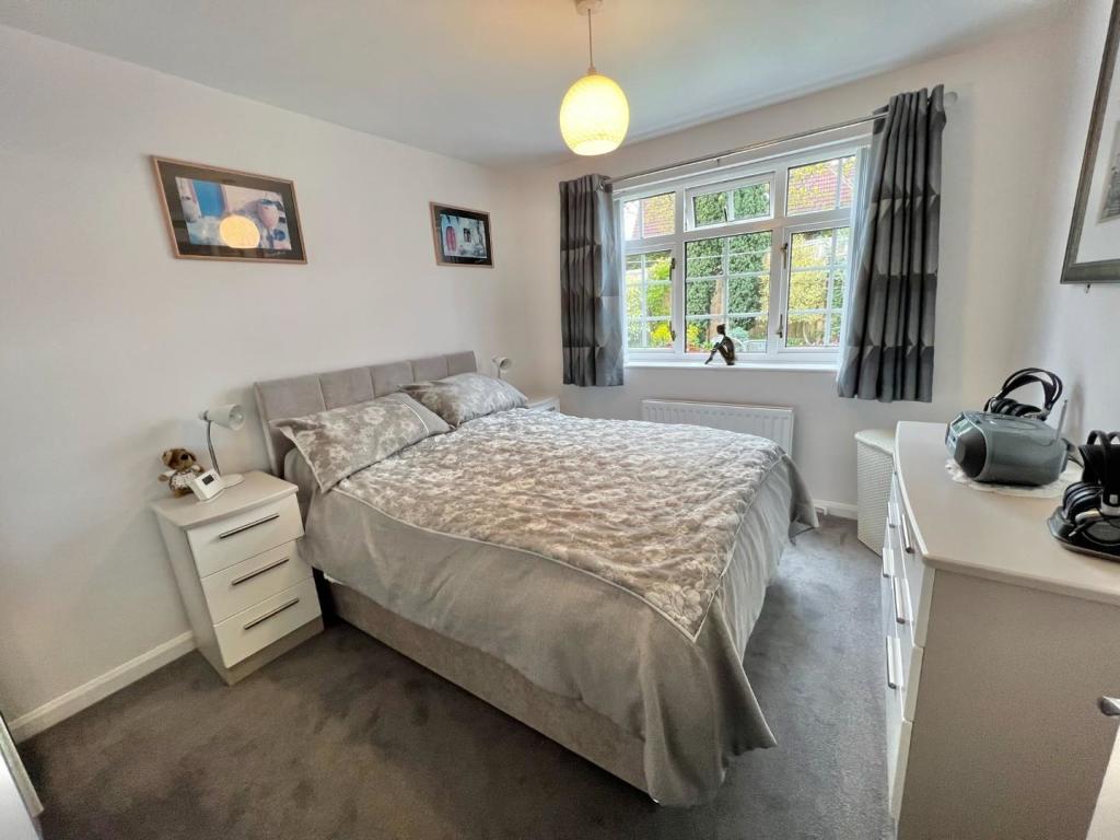
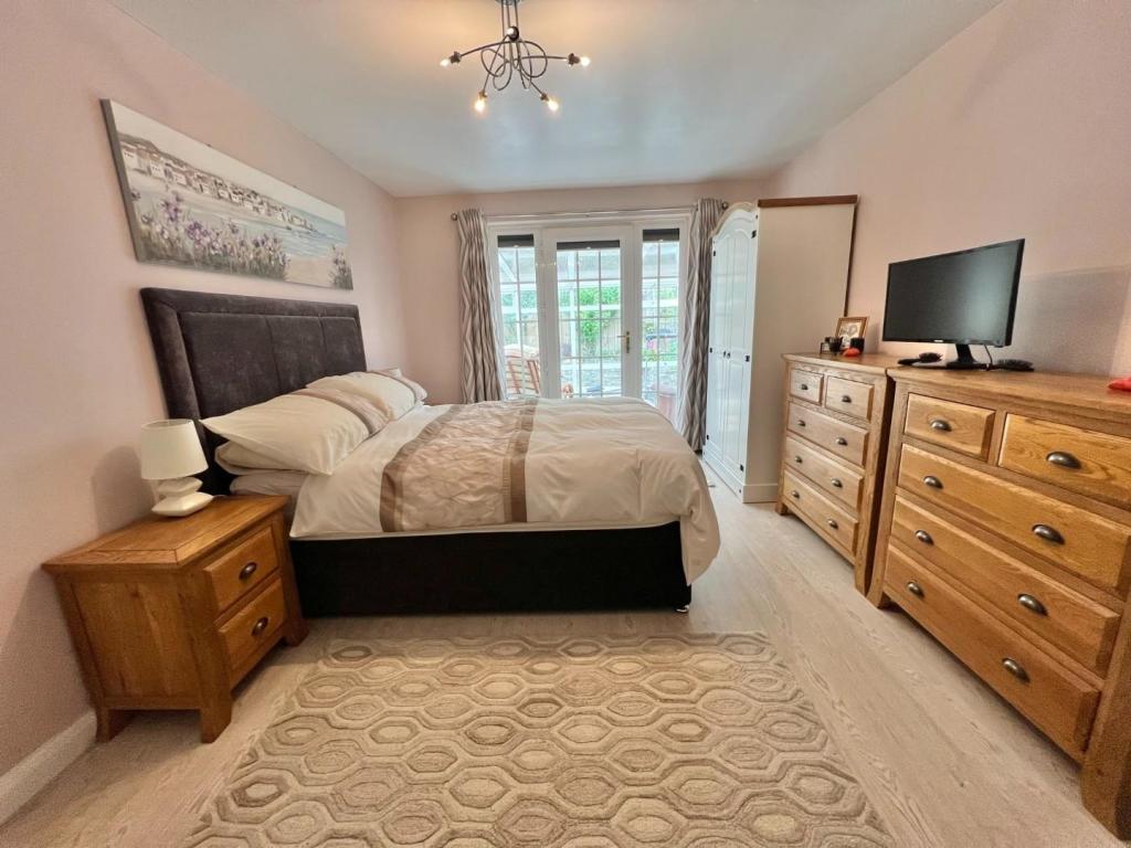
Nearby Streets
| Name | Average Price | Average Sqft | Distance |
|---|---|---|---|
| Sycamore Gardens | £ 115,000 | 0 | 0.00 KM |
| Laurel Gardens | £ 0 | 0 | 0.00 KM |
| West Springs | £ 0 | 0 | 0.00 KM |
| Lister Terrace | £ 0 | 0 | 0.00 KM |
| Coronation Street | £ 0 | 0 | 0.00 KM |
Nearby Listings
| Address | Price | Type | Score | Distance |
|---|---|---|---|---|
| High Road, Stanley, Crook, County Durham, DL15 | £ 550 | RENT | Unknown | 0.37 KM |
| Tennyson Terrace, Crook, Durham, DL15 9NG | £ 700 | RENT | Unknown | 1.12 KM |
| Spinners Croft, Crook, County Durham, DL15 | £ 700 | RENT | Unknown | 1.52 KM |
| South End Villas, Crook | £ 650 | RENT | Unknown | 1.63 KM |
| Oakwood Court, Crook, DL15 | £ 1,600 | RENT | Unknown | 1.65 KM |
Nearby Properties
| Address | Price | Distance |
|---|---|---|
| 21 Heather Lane | £ 187,500 | 0.03 KM |
| 56 Heather Lane | £ 190,000 | 0.03 KM |
| 24 Heather Lane | £ 148,000 | 0.03 KM |
| 62 Heather Lane | £ 130,000 | 0.03 KM |
| 66 Heather Lane | £ 115,000 | 0.03 KM |