I
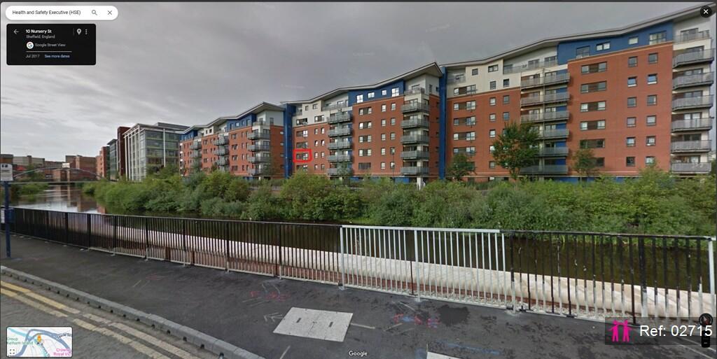
Millsands, Sheffield
By I Am The Agent
£ 795
I Am The Agent says ..
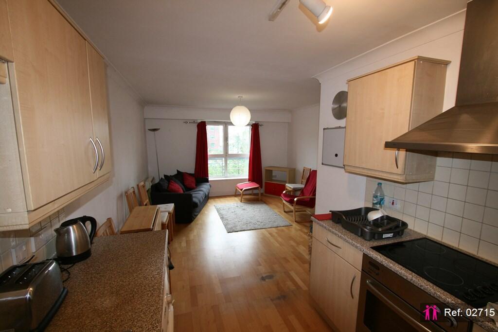
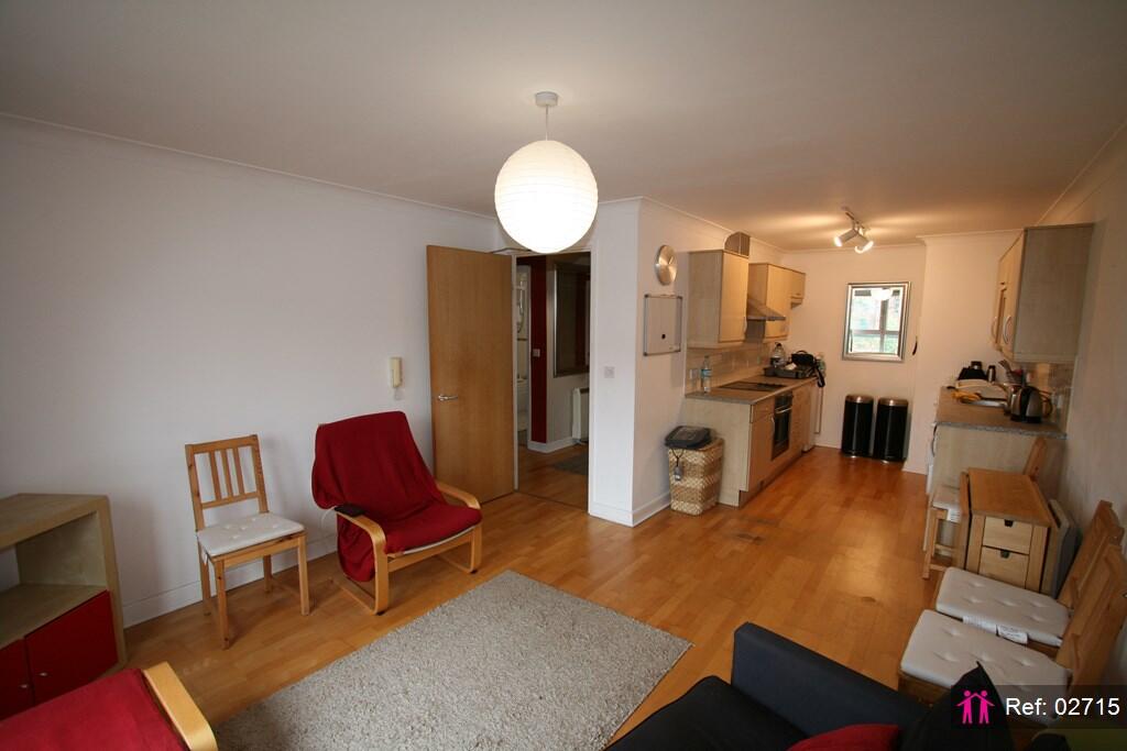
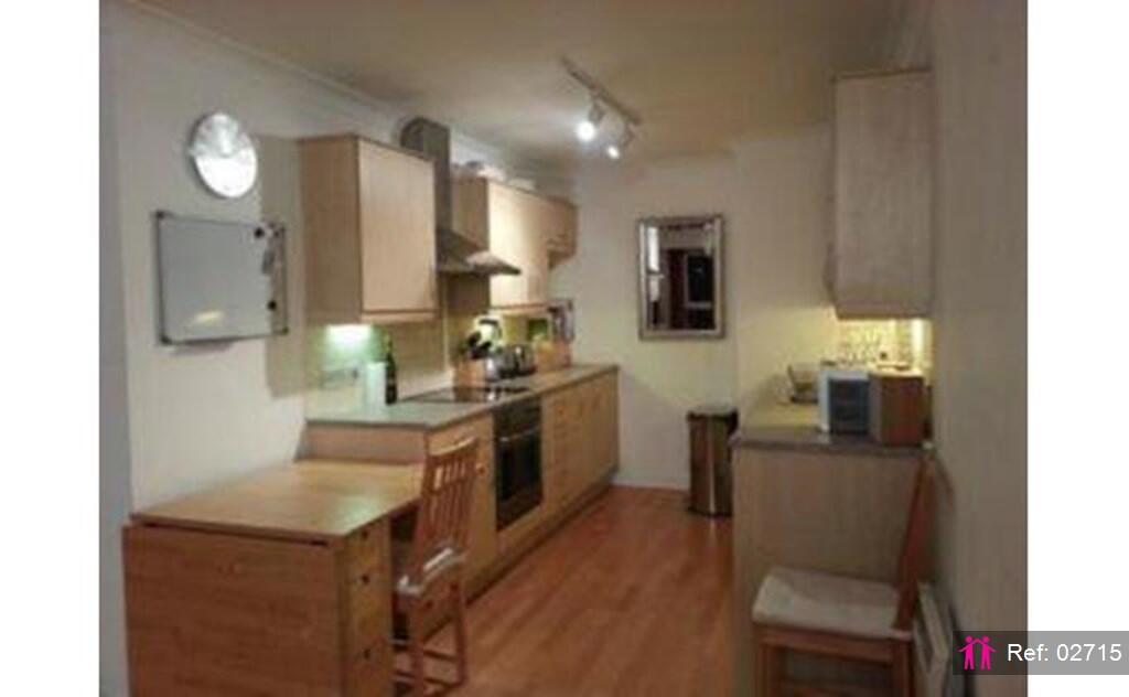
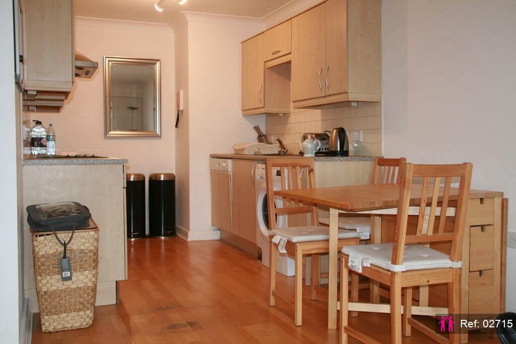
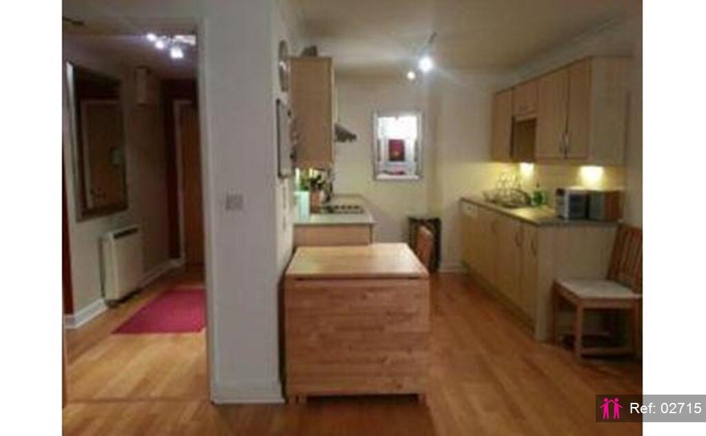
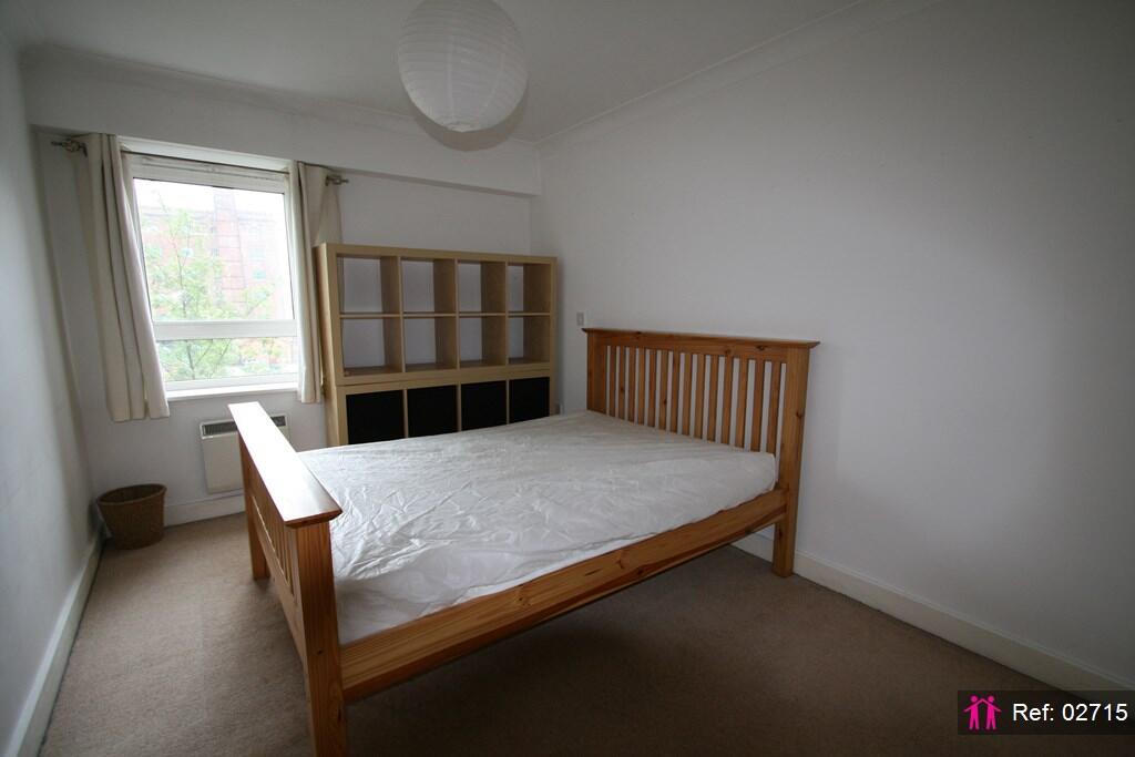
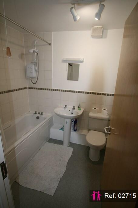
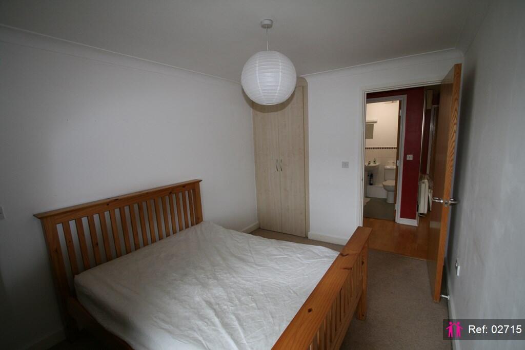
Spacious fully furnished 1 bedroom flat with river view*Property Reference: 2715*
- Bedrooms
- 1
- Bathrooms
- 1
The heatmap indicates the level of crime in the area. The color of the heatmap indicates the crime severity and recency.
Metrics Year-on-Year
- Average area value
- 123,441.00 £Decreased by 13.64 %
- Average area rental value
- 1,222.00 £/moIncreased by 27.69 %
- Est rental Yield
- 11.88 %Increased by 47.95 %
- Crime Rate
- 1.00 %Unchanged by 0.00 %
from 142,936.00 £
from 957.00 £/mo
from 8.03 %
from 1.00 %
Agent Activity
I Am The Agent created the listing.
Nearby Schools
| Name | Type | Ofsted | Distance |
|---|---|---|---|
| Astrea Academy Sheffield | Free Schools | 0.63 KM | |
| Pye Bank Cofe Primary School | Academy Converter | 0.68 KM | |
| Burngreave Children'S Centre | Children's Centre Linked Site | 0.78 KM | |
| Sheffield Hallam University | Higher Education Institutions | Requires improvement | 0.87 KM |
| Grace Owen Nursery School | Local Authority Nursery School | Good | 1.14 KM |
Images

Nearby Streets
| Name | Average Price | Average Sqft | Distance |
|---|---|---|---|
| Vulcan Square | £ 110,000 | 0 | 0.00 KM |
| Johnson Street | £ 115,950 | 0 | 0.00 KM |
| Plum Lane | £ 0 | 0 | 0.00 KM |
| Esteli Parade | £ 0 | 0 | 0.00 KM |
| Walter Lane | £ 0 | 0 | 0.00 KM |
Nearby Transport
| Name | NLC | TLC | Distance |
|---|---|---|---|
| Sheffield | 6691 | SHF | 1.18 KM |
| Darnall | 6729 | DAN | 6.00 KM |
| Meadowhall | 6663 | MHS | 6.82 KM |
| Chapeltown (South Yorkshire) | 6664 | CLN | 8.30 KM |
| Dore And Totley | 6690 | DOR | 8.57 KM |
Nearby Listings
| Address | Price | Type | Score | Distance |
|---|---|---|---|---|
| Millsands, Sheffield | £ 795 | RENT | Unknown | 0.00 KM |
| Millsands, Sheffield, S3 | £ 945 | RENT | Unknown | 0.00 KM |
| Millsands, Sheffield, S3 | £ 995 | RENT | Unknown | 0.00 KM |
| Cracknell, Millsands, Sheffield | £ 1,250 | RENT | Unknown | 0.01 KM |
| Millsands, Sheffield | £ 1,100 | RENT | Unknown | 0.01 KM |
Nearby Properties
| Address | Price | Distance |
|---|---|---|
| 42 Bank Street | £ 10,000 | 0.36 KM |
| 1 St Peters Close | £ 204,125 | 0.48 KM |
| 87 Rock Street | £ 30,000 | 0.54 KM |
| 123 Rock Street | £ 10,000 | 0.54 KM |
| 79 Rock Street | £ 32,000 | 0.54 KM |