EN
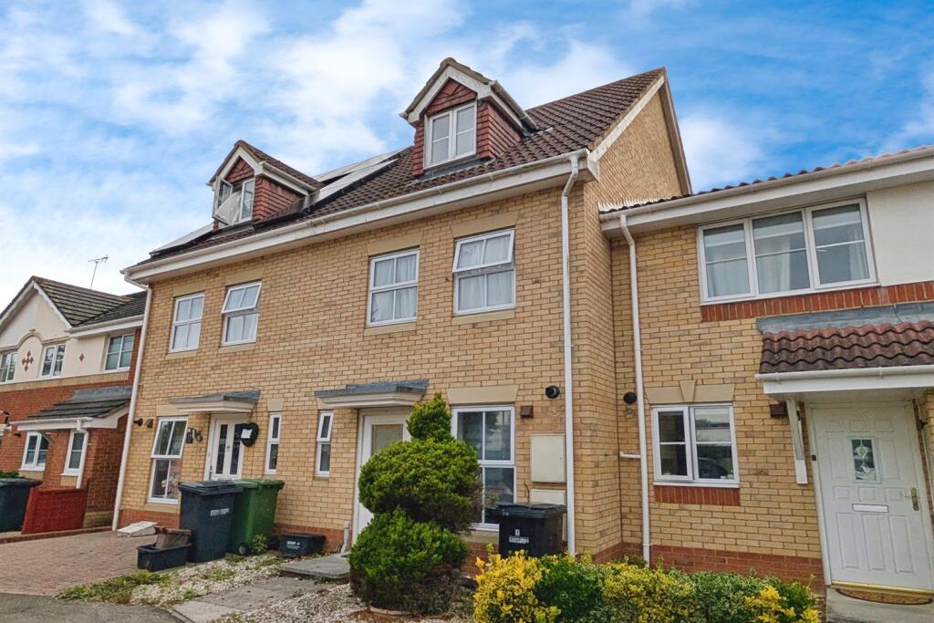
Cedar Road, SO50
By Enfields
£ 1,650
Enfields says ..
4 bedroom town house
- Bedrooms
- 4
- Bathrooms
- 2
The heatmap indicates the level of crime in the area. The color of the heatmap indicates the crime severity and recency.
Metrics Year-on-Year
- Average area value
- 346,000.00 £Decreased by 47.56 %
- Average area rental value
- 1,350.00 £/moIncreased by 0.37 %
- Est rental Yield
- 4.68 %Increased by 91.02 %
- Crime Rate
- 5.00 %Unchanged by 0.00 %
from 659,792.00 £
from 1,345.00 £/mo
from 2.45 %
from 5.00 %
Agent Activity
Enfields created the listing.
Nearby Schools
| Name | Type | Ofsted | Distance |
|---|---|---|---|
| Barton Peveril Sixth Form College | Further Education | Good | 0.18 KM |
| Stoneham Park Primary Academy | Free Schools | 0.91 KM | |
| Eastleigh College | Further Education | Good | 1.04 KM |
| Cherbourg Primary School | Community School | Good | 1.20 KM |
| Aviary Children'S Centre | Children's Centre | 1.35 KM |
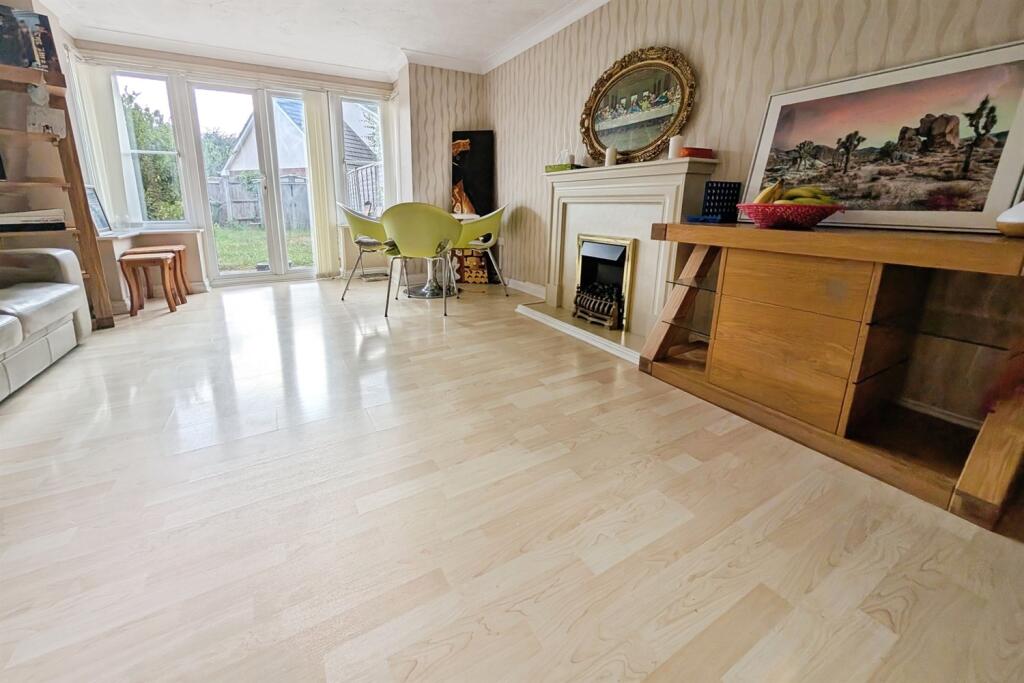
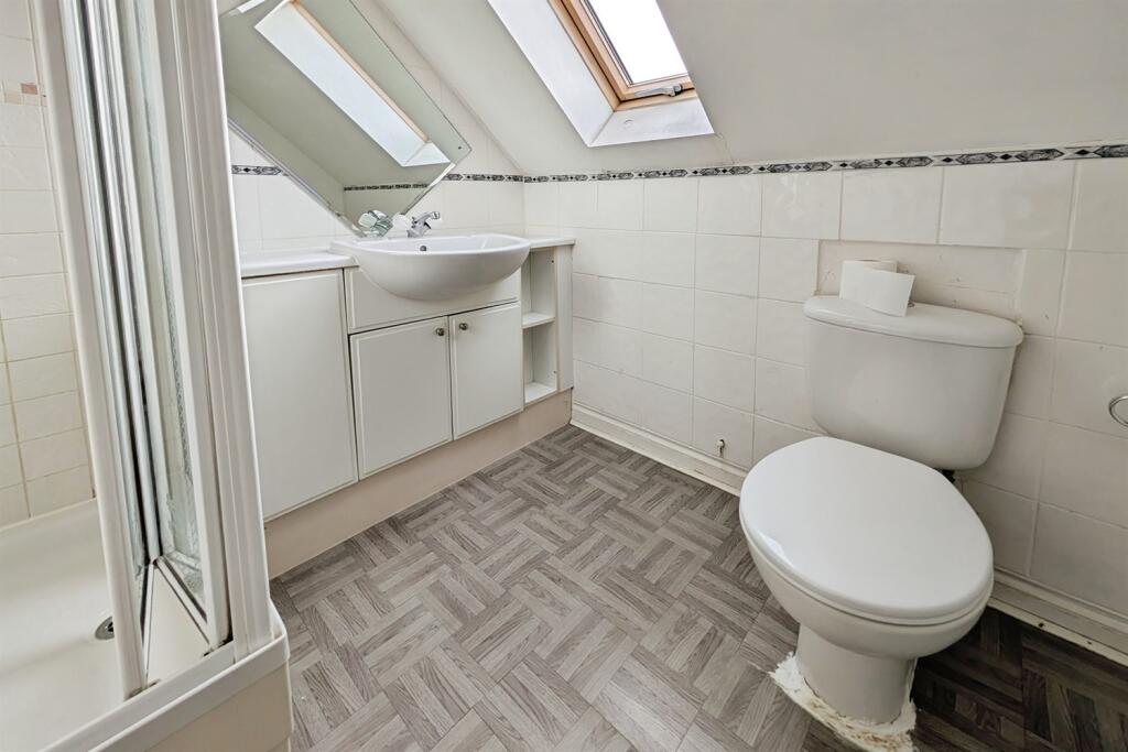
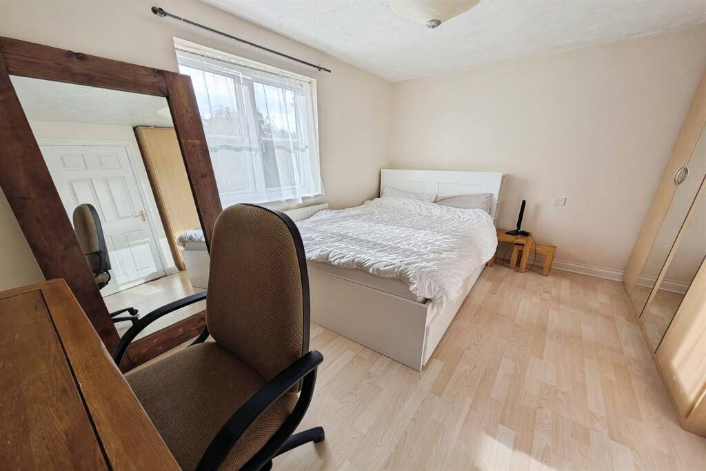
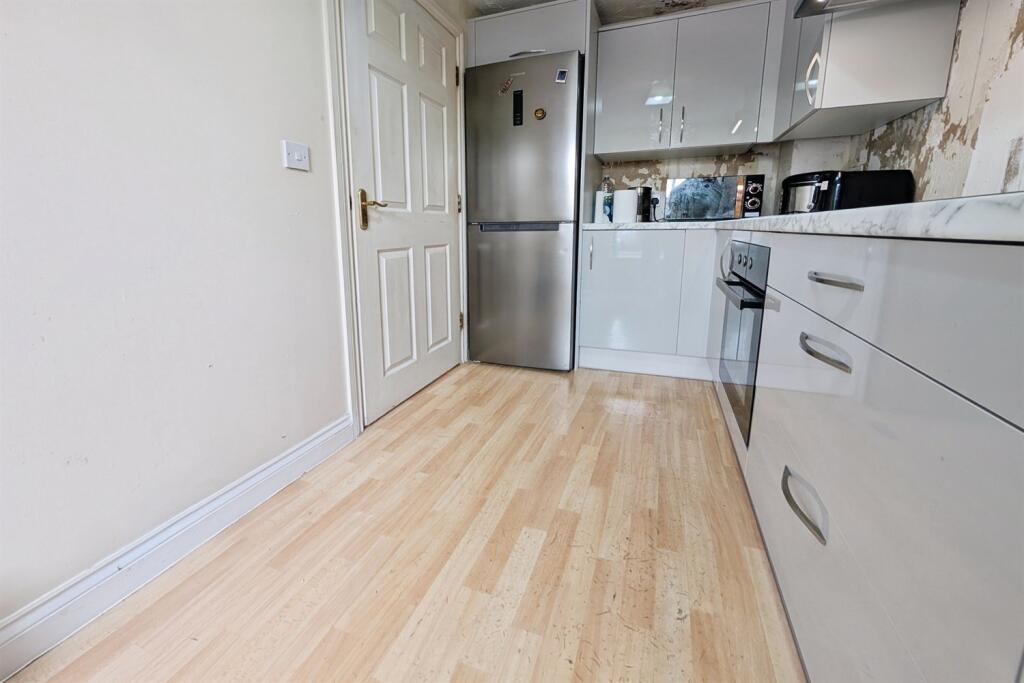
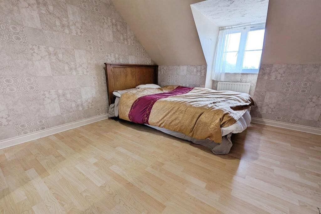
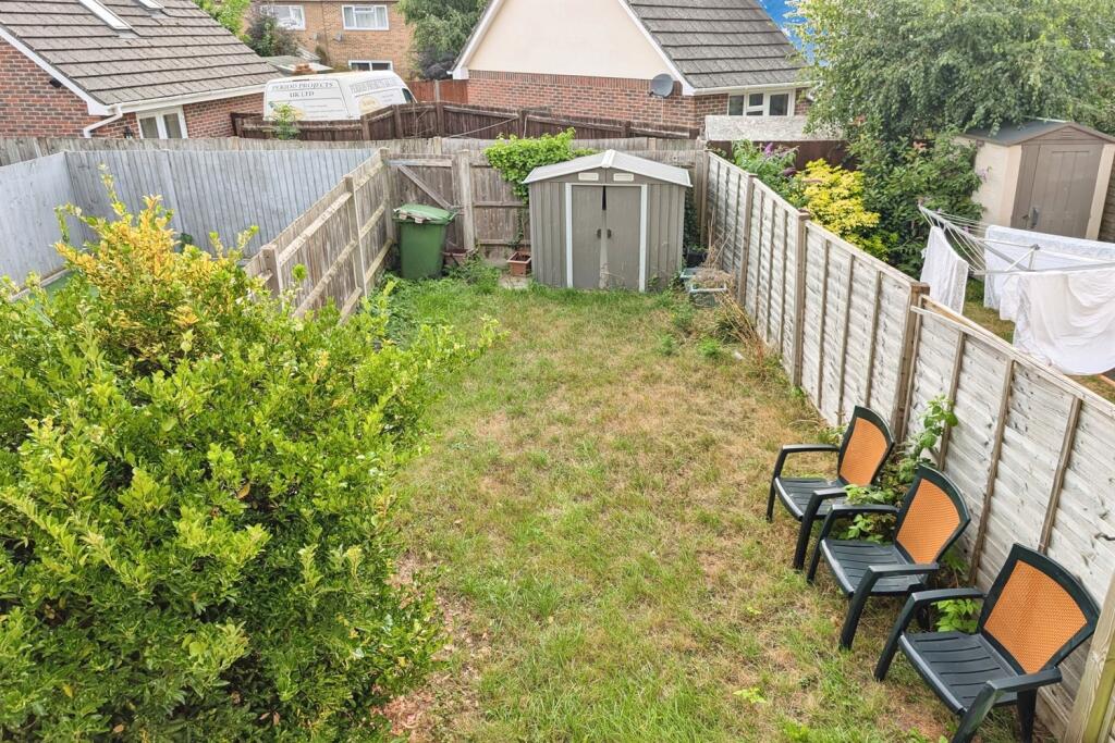
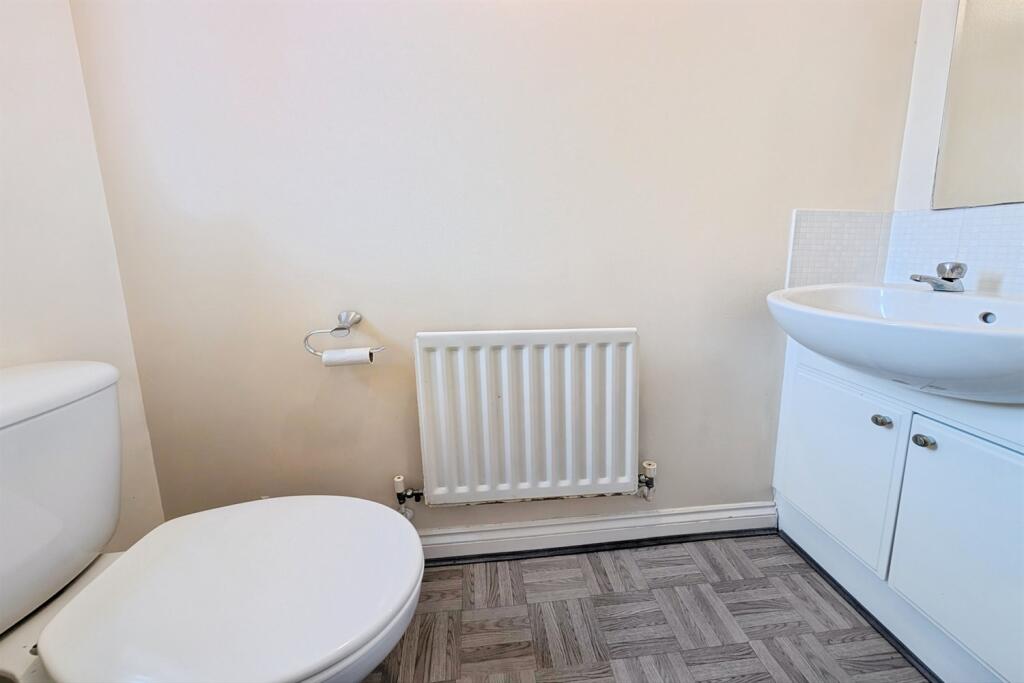
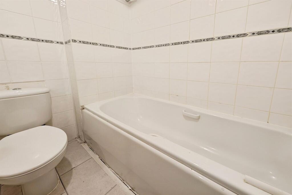
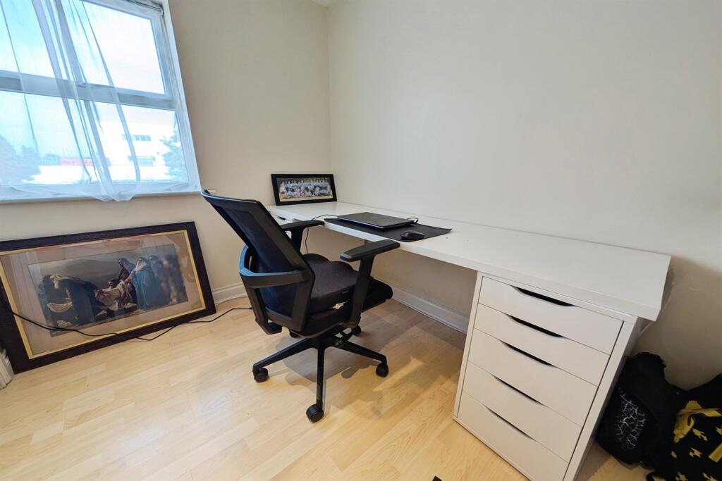
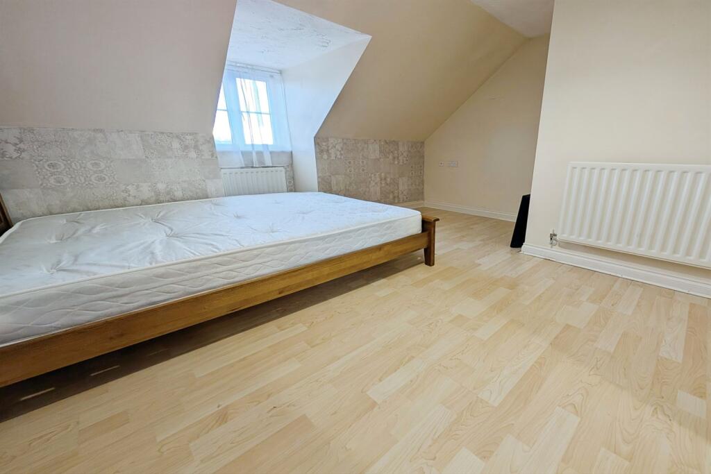
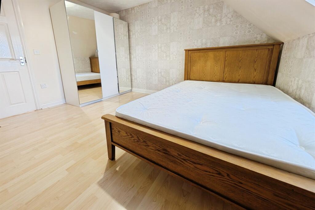
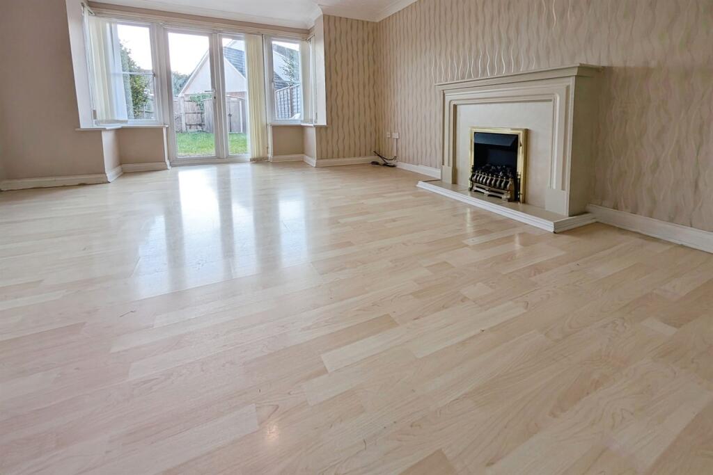
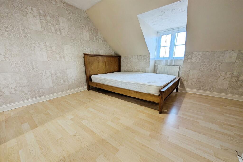
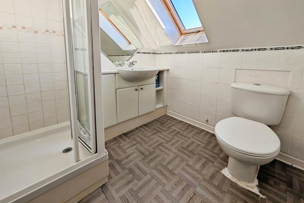
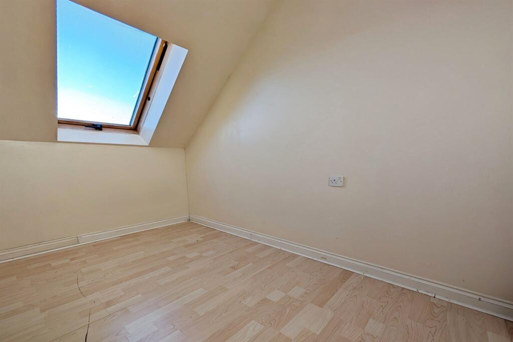
Images


Nearby Streets
| Name | Average Price | Average Sqft | Distance |
|---|---|---|---|
| The Heathers | £ 0 | 0 | 0.00 KM |
| Derby Road | £ 325,000 | 0 | 0.00 KM |
| Friars Road | £ 0 | 0 | 0.00 KM |
| Spencer Road | £ 0 | 0 | 0.00 KM |
| Parnell Road | £ 0 | 0 | 0.00 KM |
Nearby Transport
| Name | NLC | TLC | Distance |
|---|---|---|---|
| Southampton Airport Parkway | 5922 | SOA | 1.37 KM |
| Eastleigh | 5899 | ESL | 2.10 KM |
| Swaythling | 5933 | SWG | 2.54 KM |
| Chandlers Ford | 5836 | CFR | 3.07 KM |
| St Denys | 5914 | SDN | 4.98 KM |
Nearby Listings
| Address | Price | Type | Score | Distance |
|---|---|---|---|---|
| Cedar Road, SO50 | £ 1,650 | RENT | Unknown | 0.00 KM |
| Cedar Road, Eastleigh | £ 1,550 | RENT | Unknown | 0.01 KM |
| Cedar Road, EASTLEIGH | £ 1,600 | RENT | Unknown | 0.01 KM |
| Burns Road, Eastleigh, SO50 | £ 1,300 | RENT | Unknown | 0.19 KM |
| Abbotts Road, EASTLEIGH | £ 1,500 | RENT | Unknown | 0.19 KM |
Nearby Properties
| Address | Price | Distance |
|---|---|---|
| 35 Cedar Road | £ 185,000 | 0.00 KM |
| 11 Cedar Road | £ 180,025 | 0.00 KM |
| 9 Cedar Road | £ 189,950 | 0.00 KM |
| 5 Cedar Road | £ 220,000 | 0.00 KM |
| 19 Cedar Road | £ 300,000 | 0.00 KM |