HA
High Street, Upwood
By harveyrobinson
£ 425,000
harveyrobinson says ..
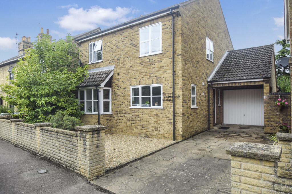
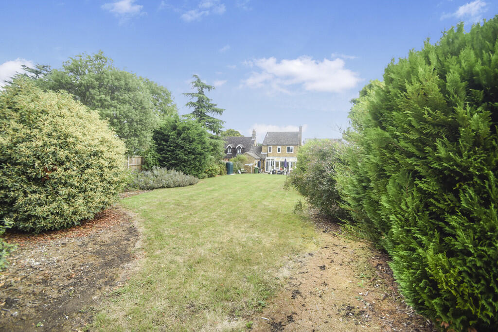
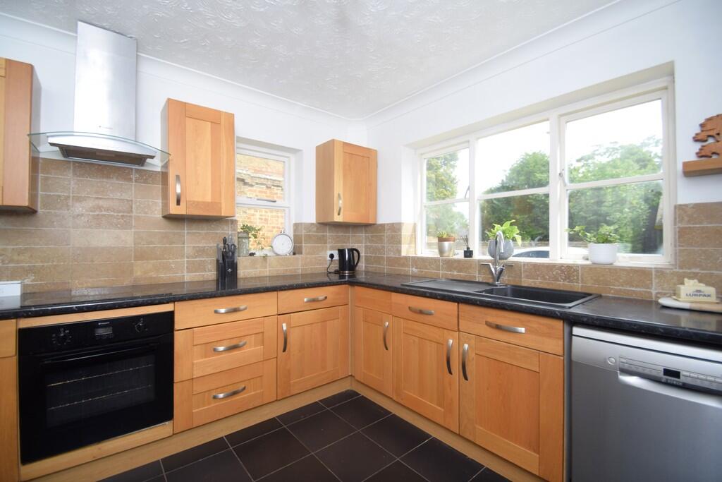
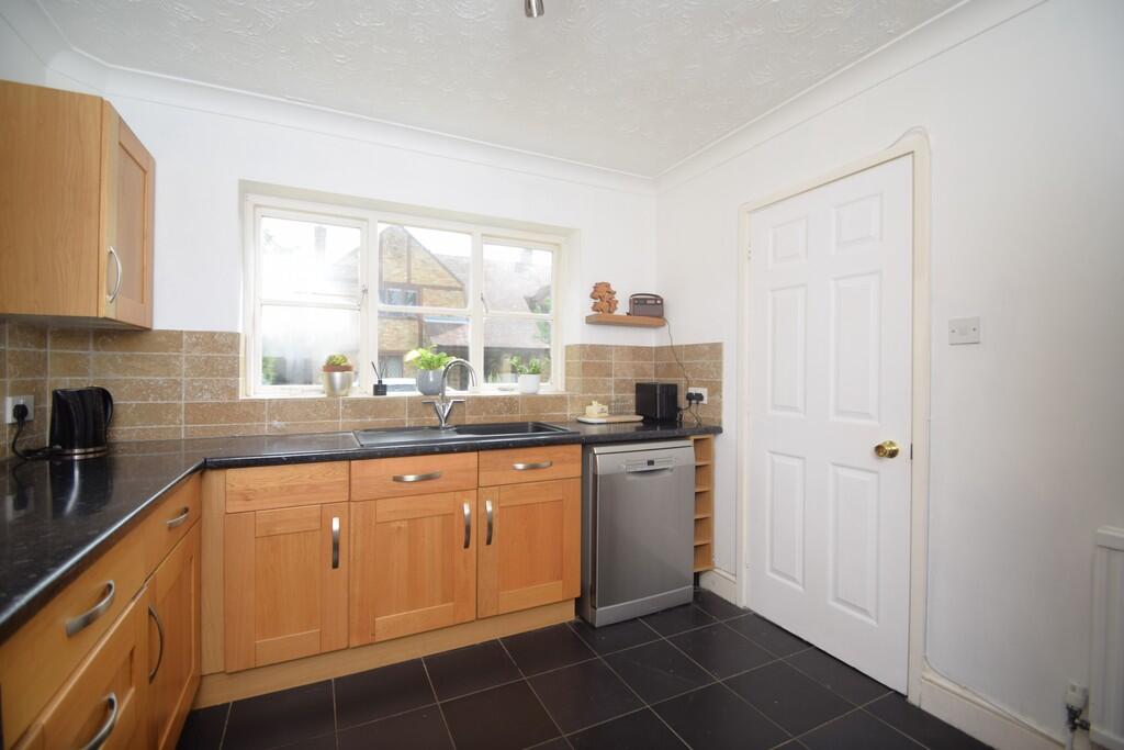
Property located in High Street, Upwood
- Bedrooms
- 4
- Bathrooms
- 1
The heatmap indicates the level of crime in the area. The color of the heatmap indicates the crime severity and recency.
Metrics Year-on-Year
- Average area value
- 377,000.00 £Decreased by 16.50 %
- Average area rental value
- 1,713.00 £/moDecreased by 0.98 %
- Est rental Yield
- 5.45 %Increased by 18.48 %
- Crime Rate
- 76.00 %Unchanged by 0.00 %
from 451,481.00 £
from 1,730.00 £/mo
from 4.60 %
from 76.00 %
Agent Activity
harveyrobinson created the listing.
Nearby Schools
| Name | Type | Ofsted | Distance |
|---|---|---|---|
| Upwood Primary Academy | Academy Converter | 1.06 KM | |
| Bury Cofe Primary School | Academy Converter | Good | 4.01 KM |
| Ramsey Junior School | Academy Converter | Good | 4.66 KM |
| Ramsey Spinning Infant School | Academy Converter | Good | 4.67 KM |
| Ramsey Child And Family Zone | Children's Centre | 5.08 KM |
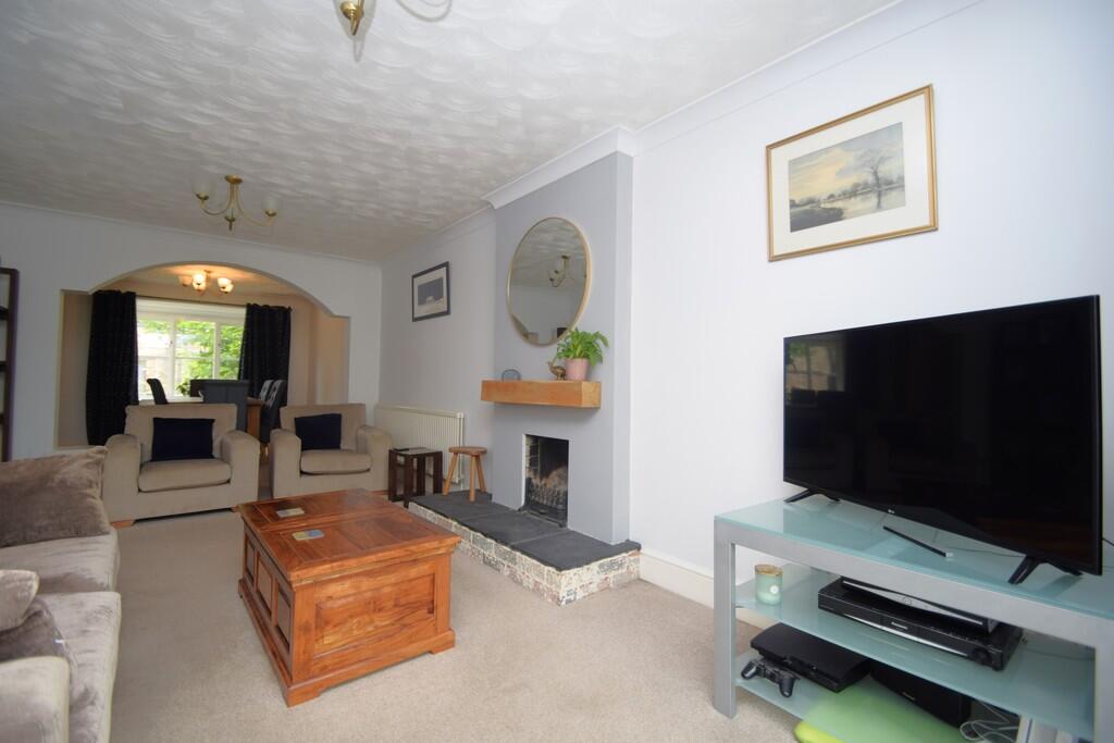
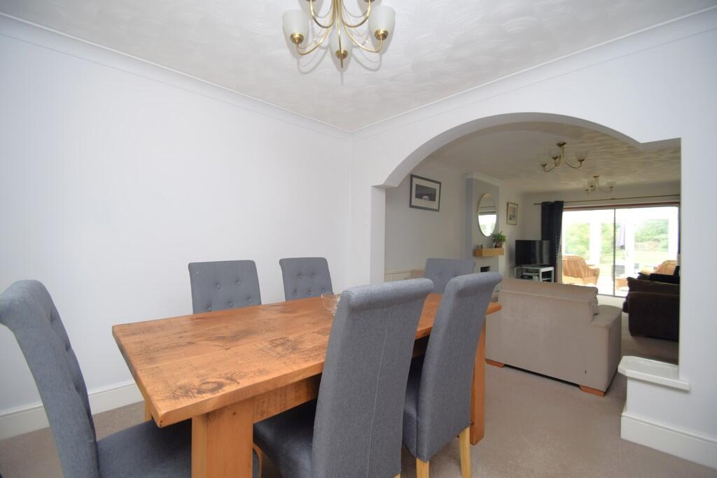
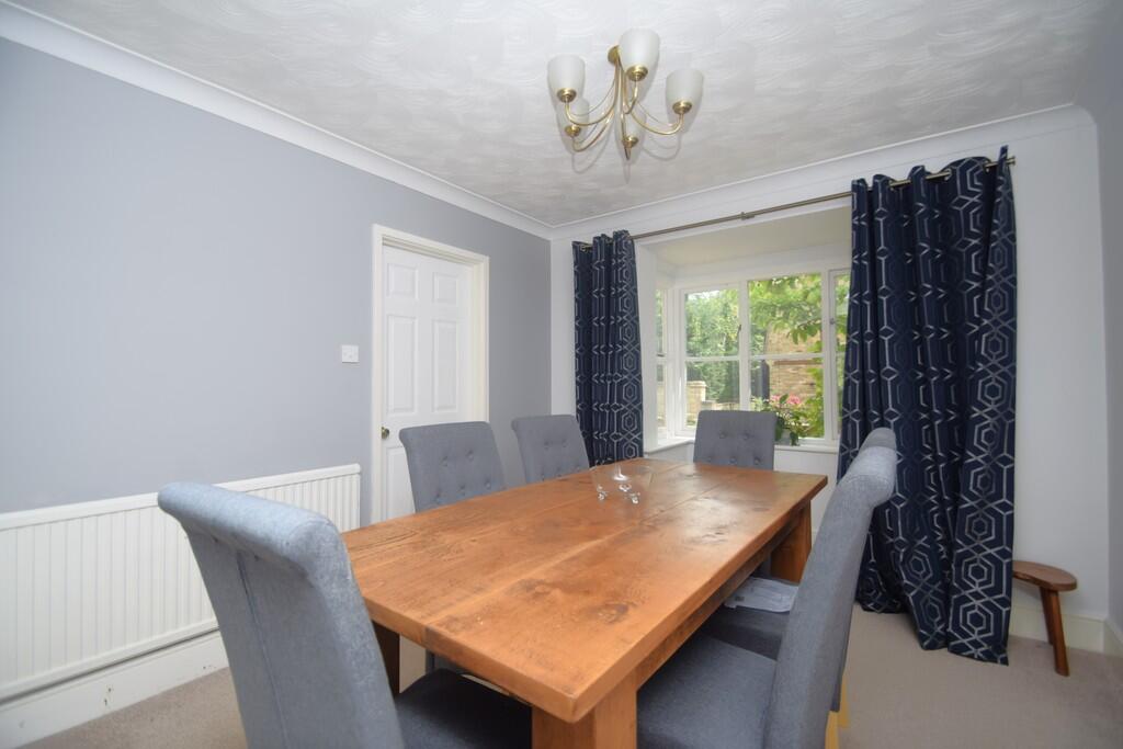
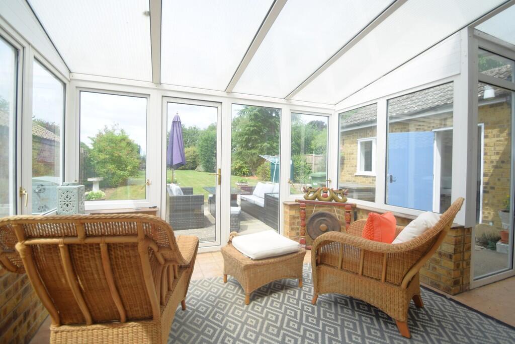
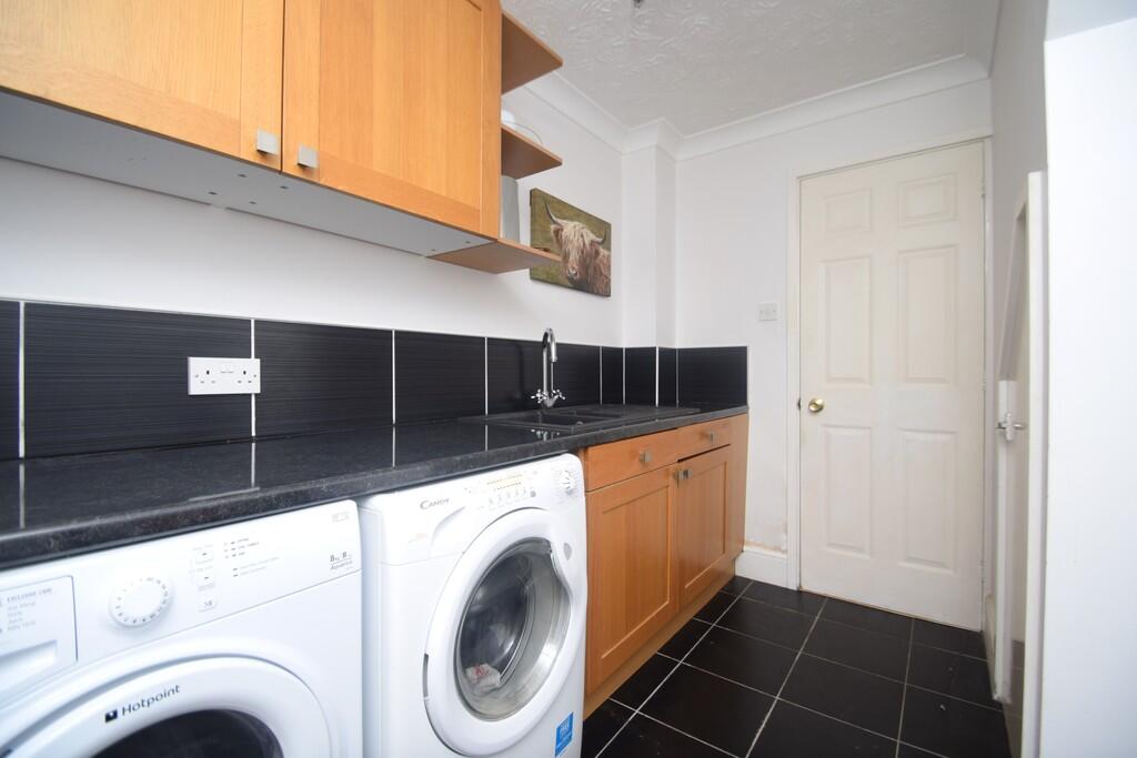
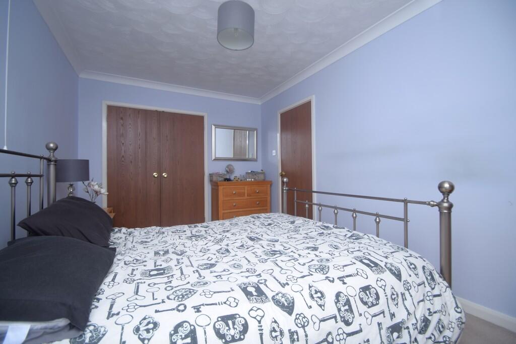
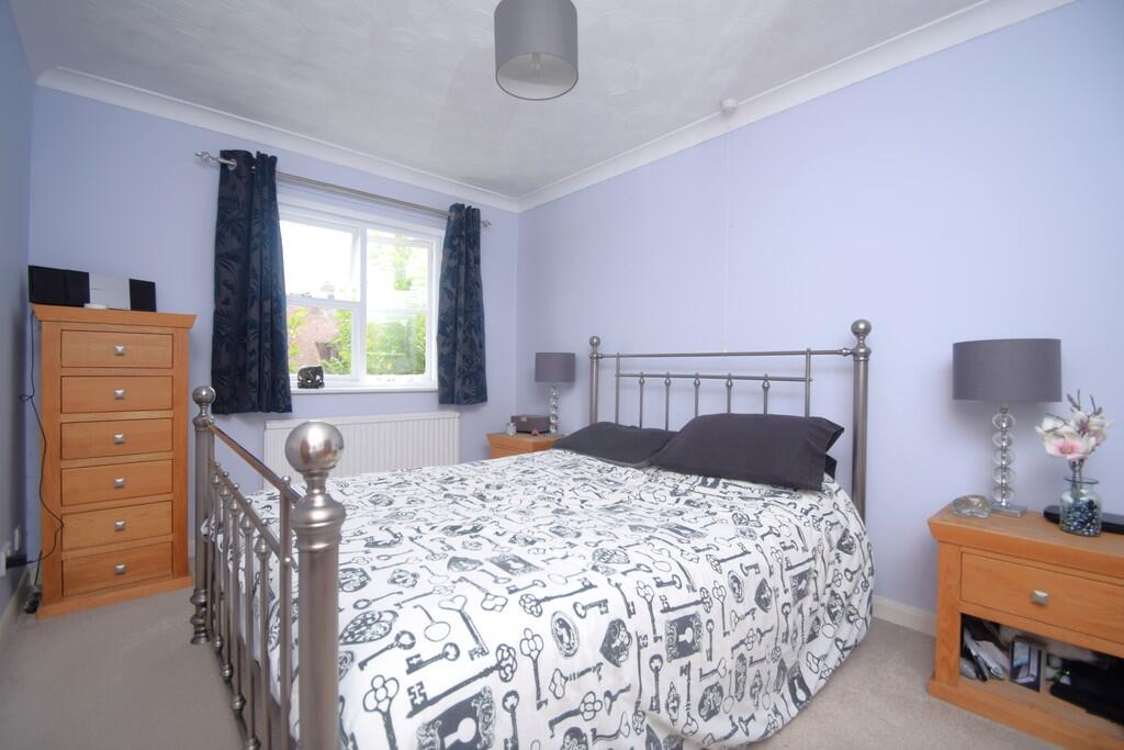
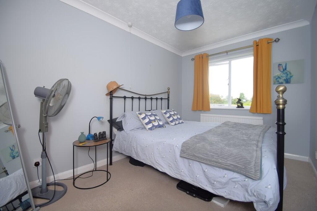
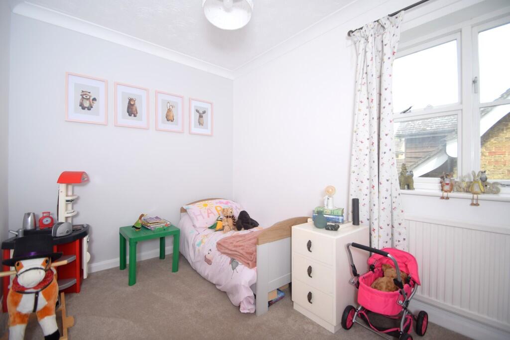
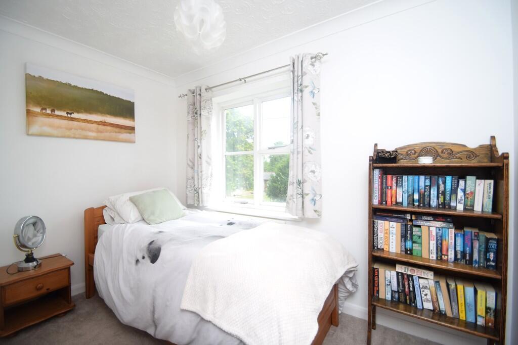
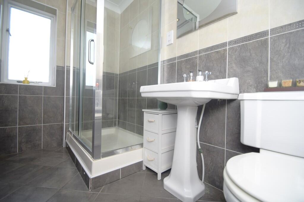
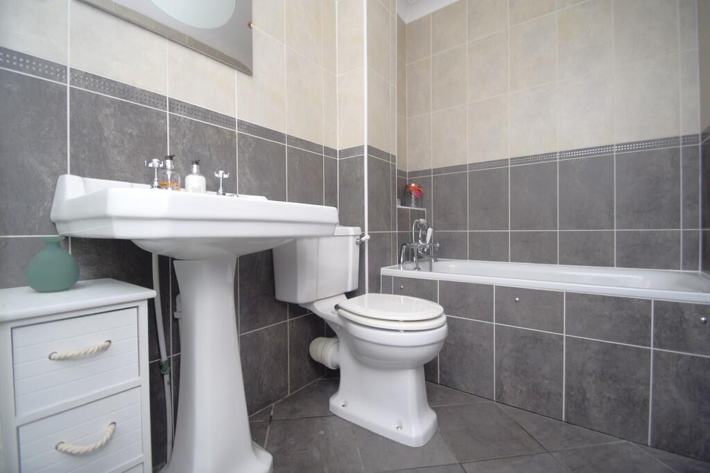
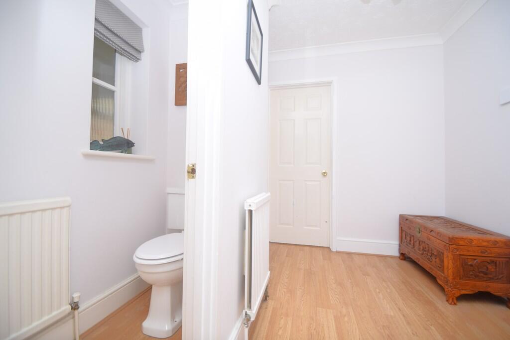
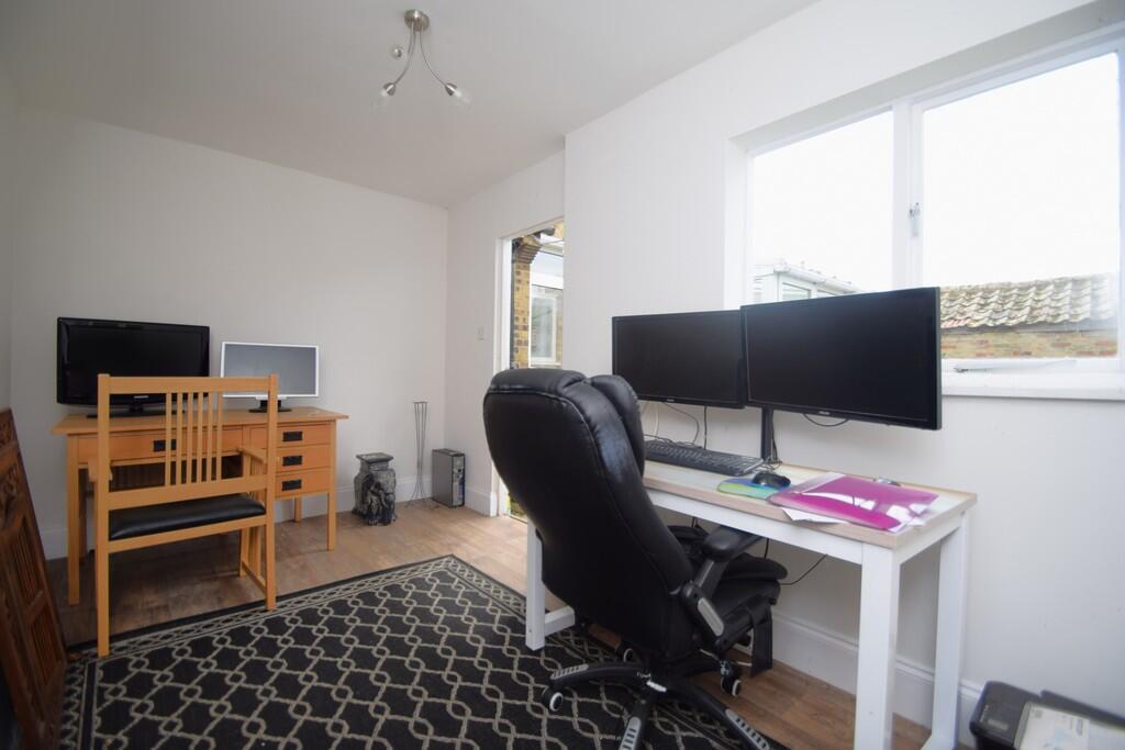
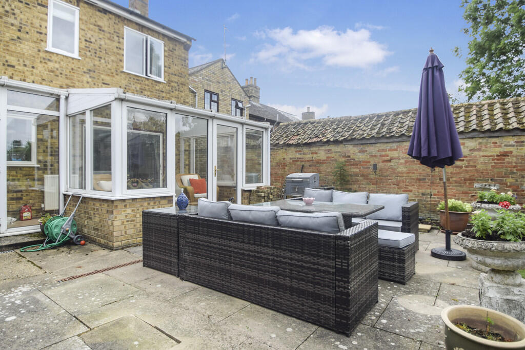
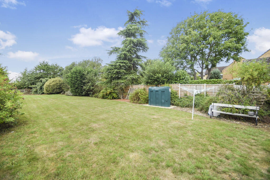
Images


Nearby Streets
| Name | Average Price | Average Sqft | Distance |
|---|---|---|---|
| Church Lane | £ 575,000 | 0 | 0.00 KM |
| Meadow Road | £ 0 | 0 | 0.00 KM |
| Barley Way | £ 107,500 | 0 | 0.00 KM |
| Farm Close | £ 360,000 | 0 | 0.00 KM |
| Raveley Road | £ 438,750 | 0 | 0.00 KM |
Nearby Listings
| Address | Price | Type | Score | Distance |
|---|---|---|---|---|
| High Street, Upwood | £ 425,000 | BUY | Unknown | 0.00 KM |
| High Street, Upwood, PE26 | £ 500,000 | BUY | 7 / 10 | 0.01 KM |
| High Street, Upwood, Ramsey, Huntingdon, Cambridgeshire, PE26 2QE | £ 230,000 | BUY | 6 / 10 | 0.20 KM |
| High Street, Upwood, Ramsey, Huntingdon, PE26 | £ 350,000 | BUY | 6 / 10 | 0.20 KM |
| High Street, Upwood, Cambridgeshire | £ 379,995 | BUY | Unknown | 0.20 KM |
Nearby Properties
| Address | Price | Distance |
|---|---|---|
| 1 Longholme Road | £ 39,680 | 0.12 KM |
| 7 Longholme Road | £ 137,000 | 0.12 KM |
| 60 High Street | £ 775,000 | 0.20 KM |
| 15 Church Lane | £ 347,500 | 0.25 KM |
| 17 Church Lane | £ 202,500 | 0.25 KM |