Longstaff says ..
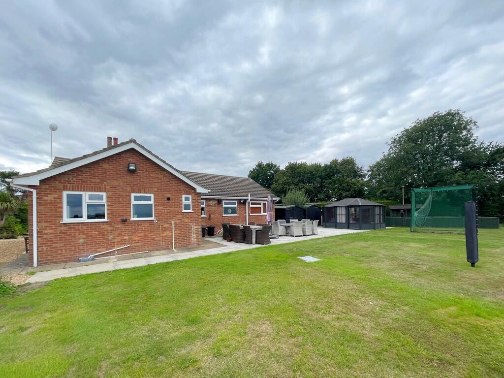
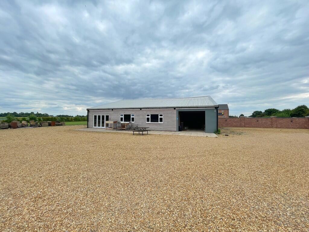
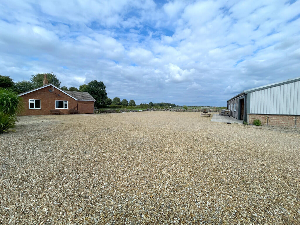
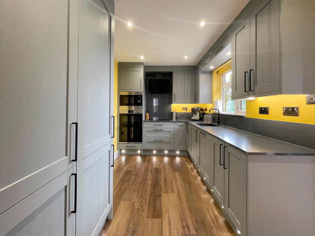
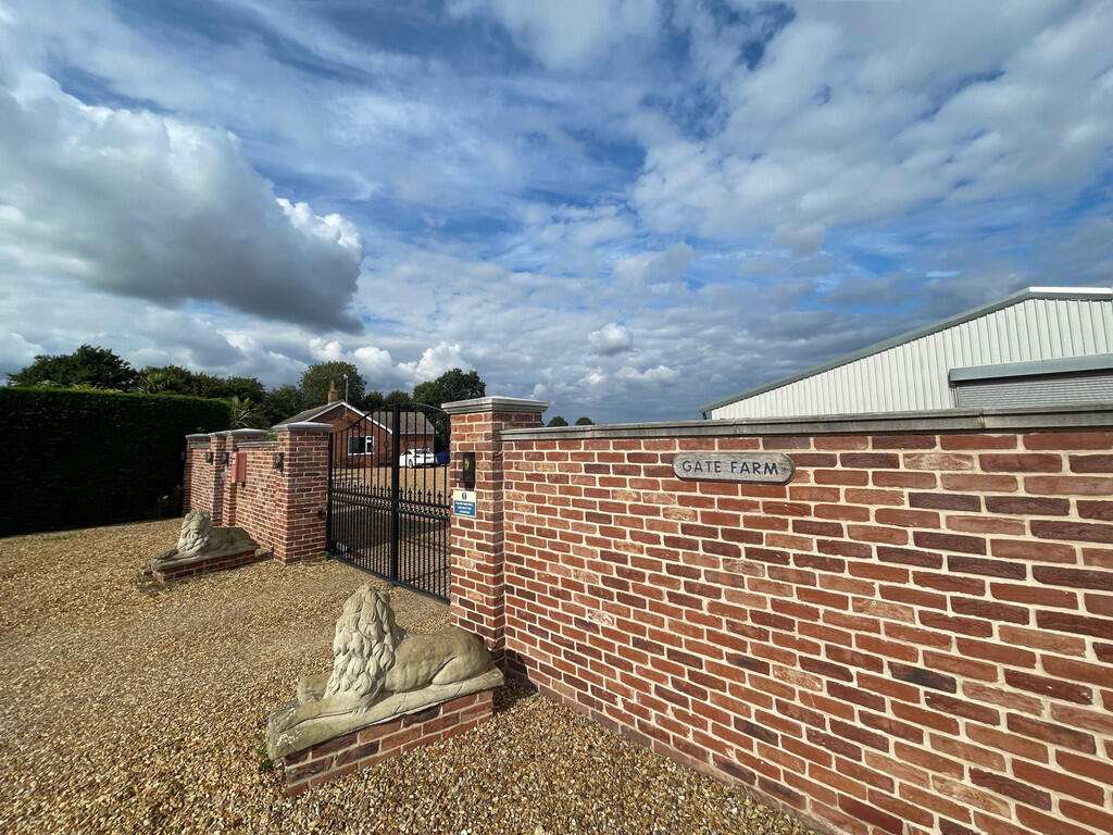
Exciting opportunity to acquire a 3 bedroom bungalow situated on the edge of Spalding, together with 2 acres of land and a multi-purpose outbuilding. Gated entrance, extensive off-road parking. Well presented accommodation comprising entrance hallway, lounge, kitchen, dining room, 3 bedrooms, b...
Property Oracle says ..
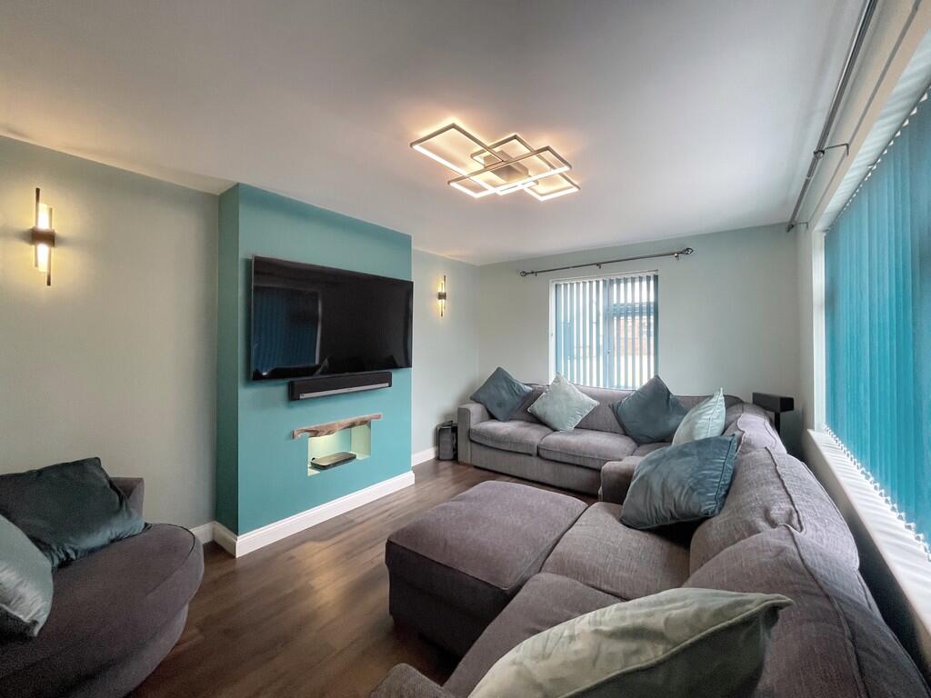
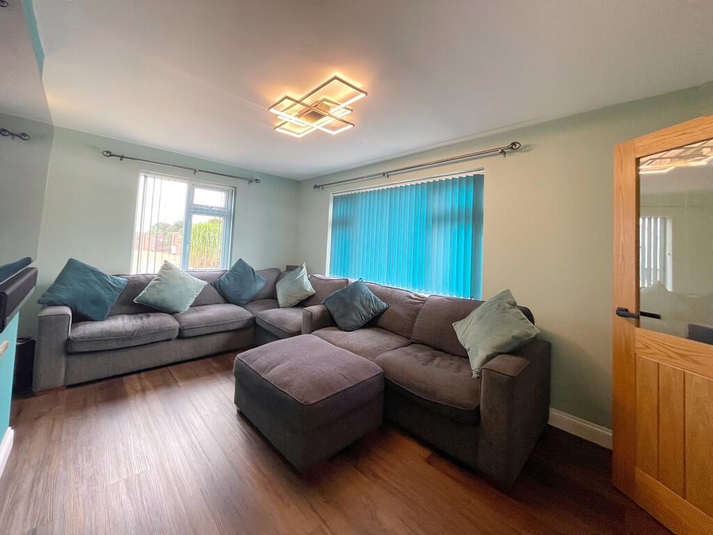
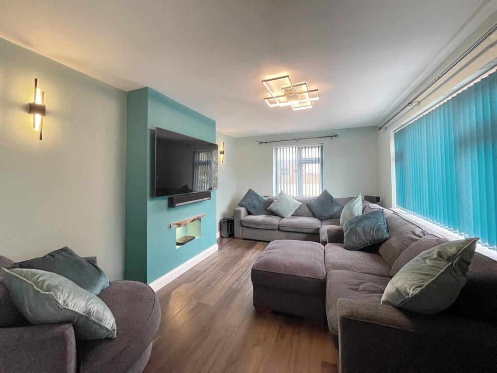
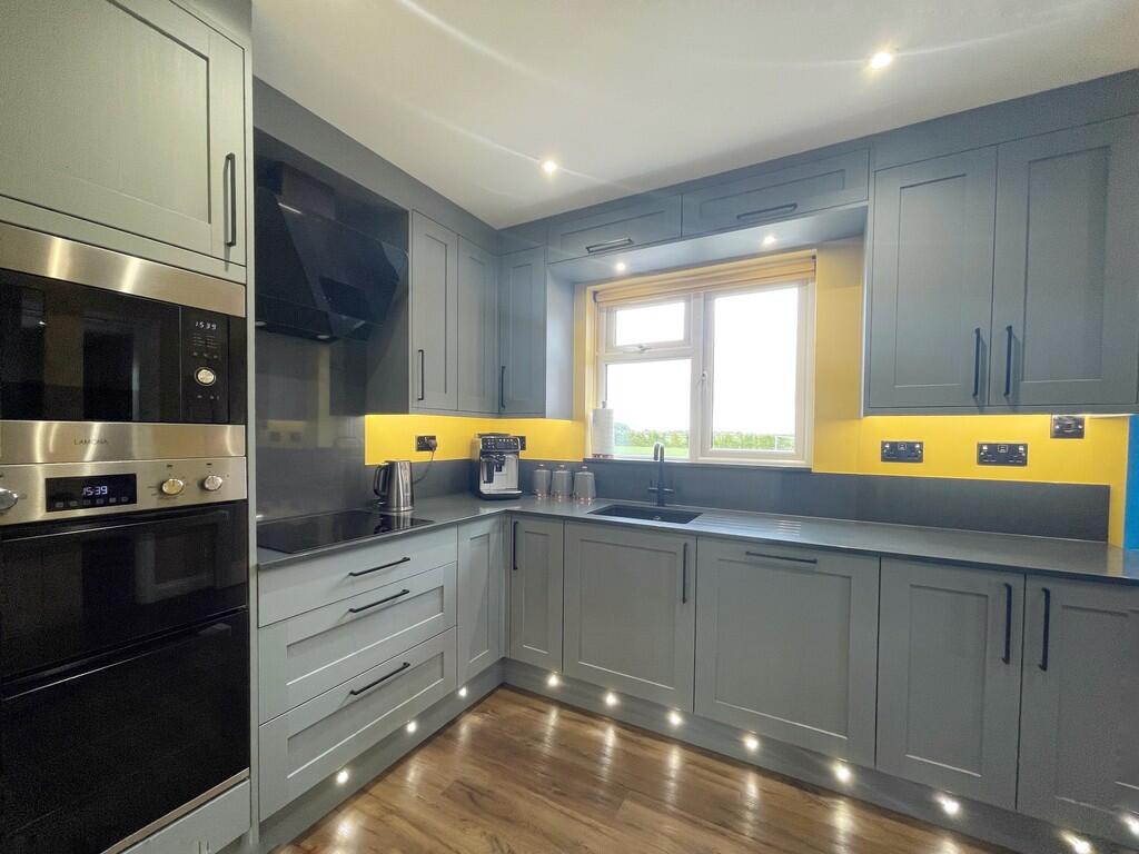
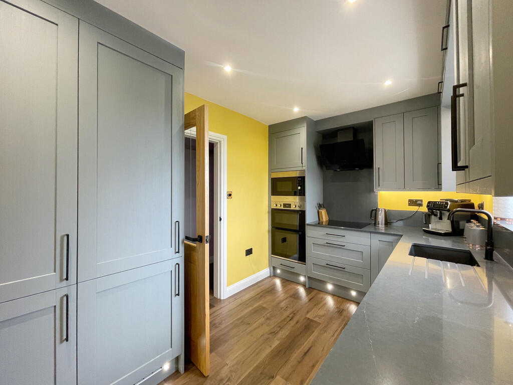
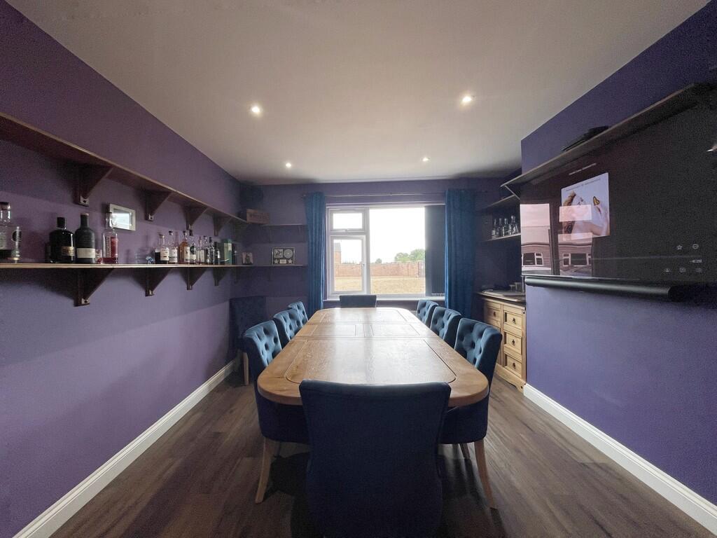
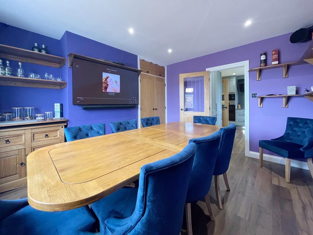
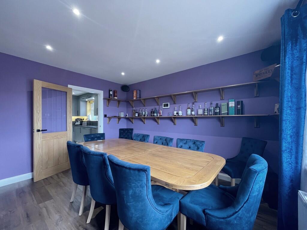
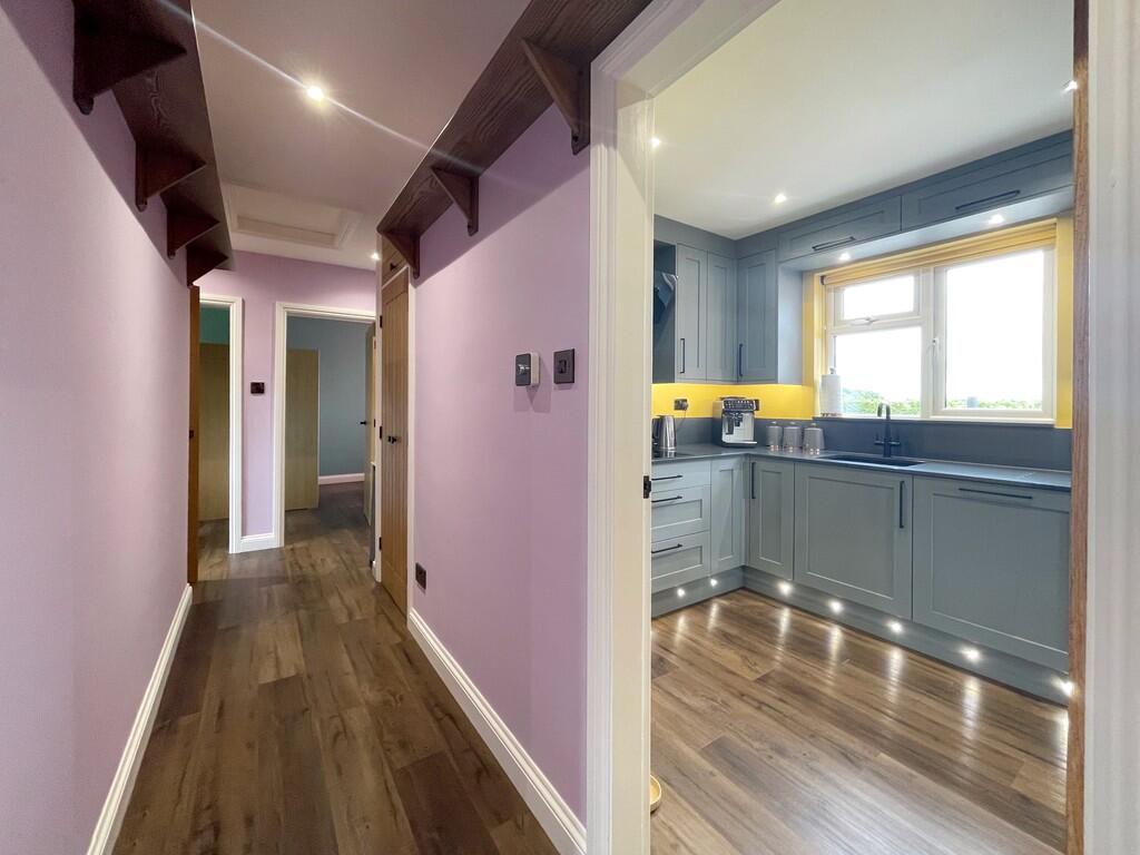
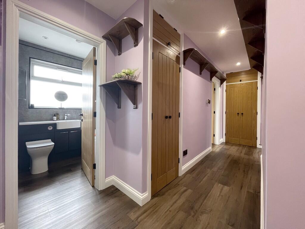
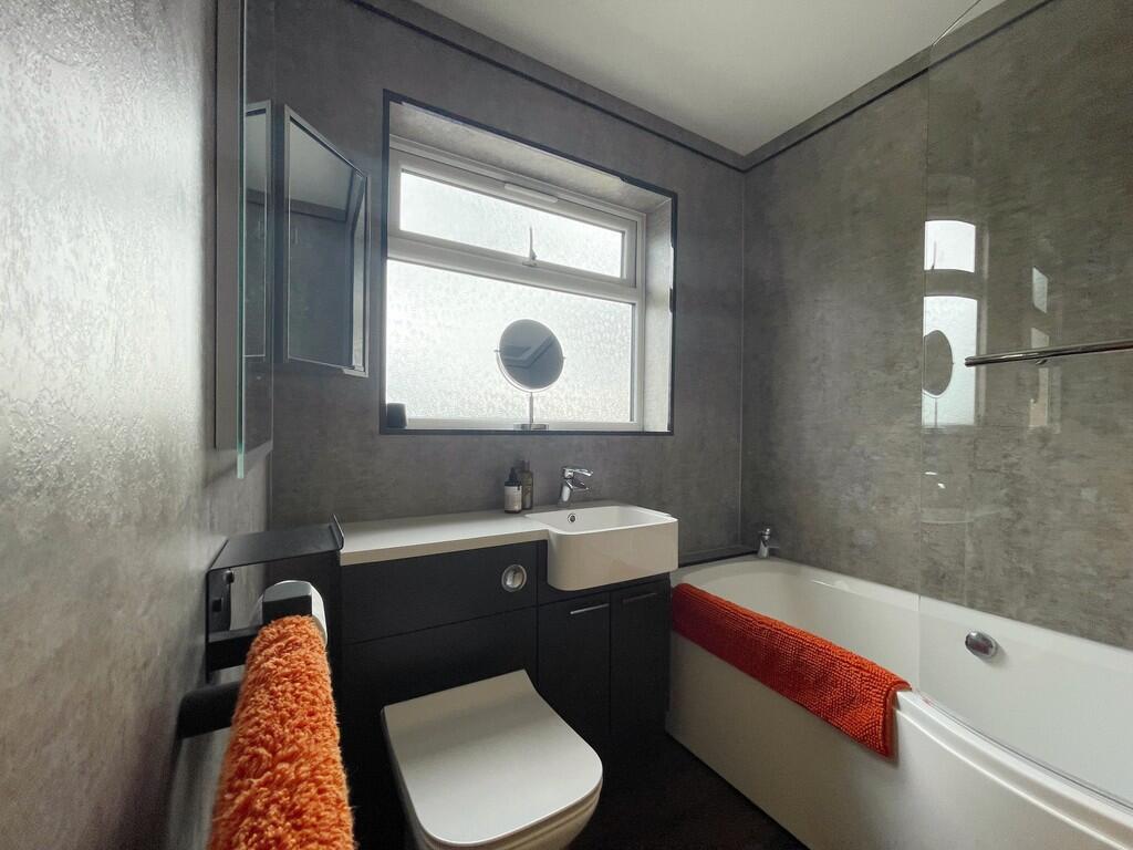
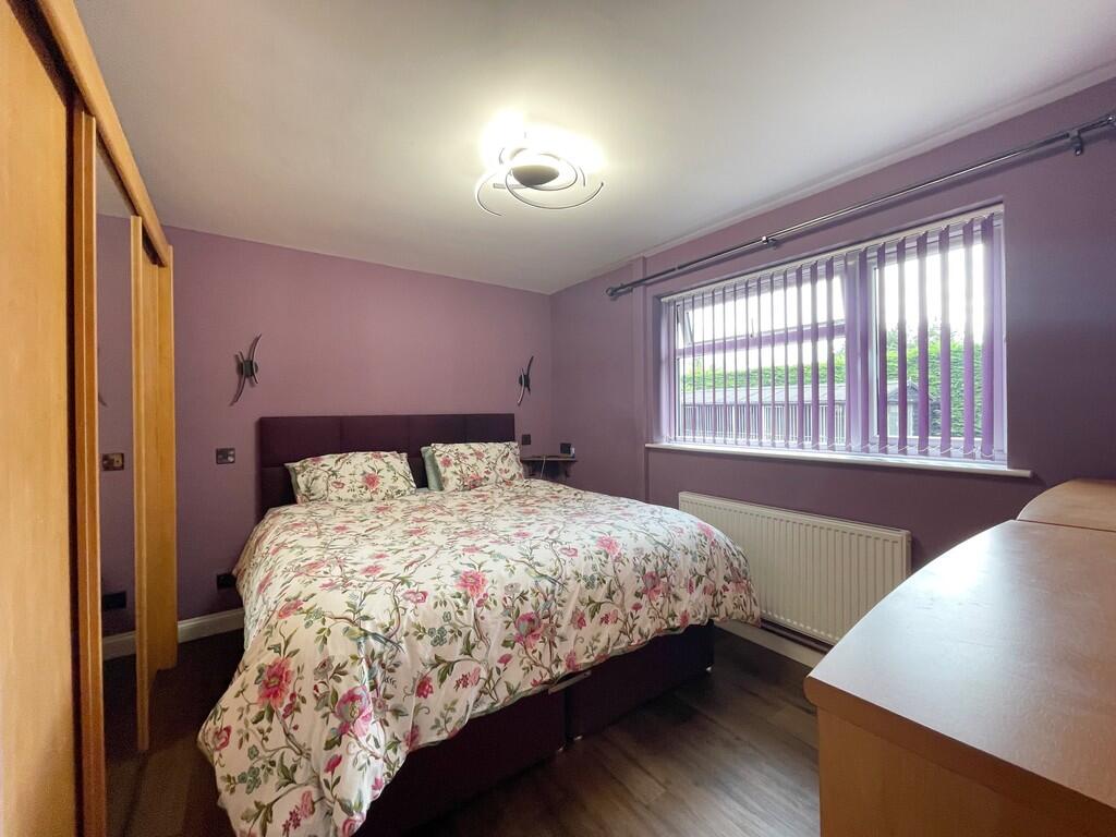
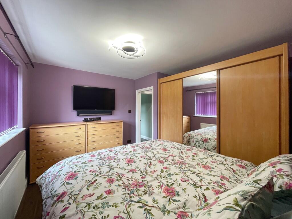
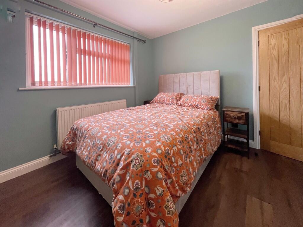
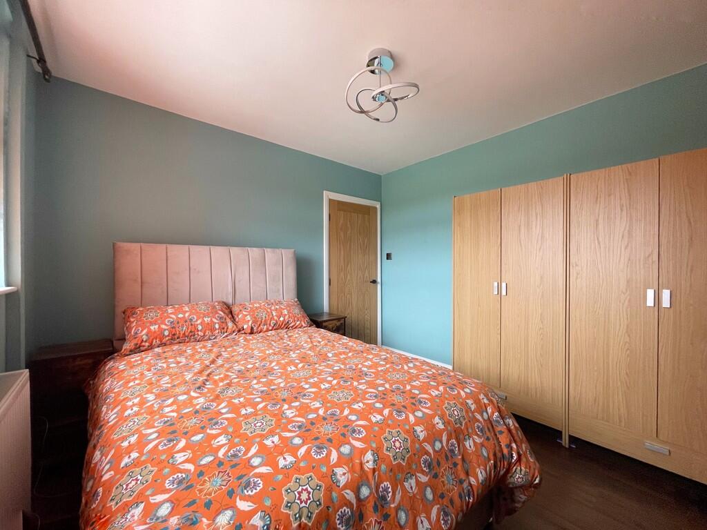
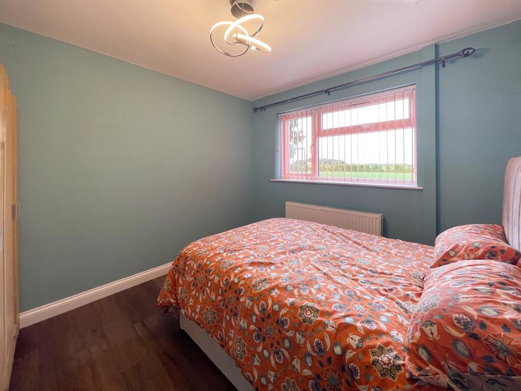
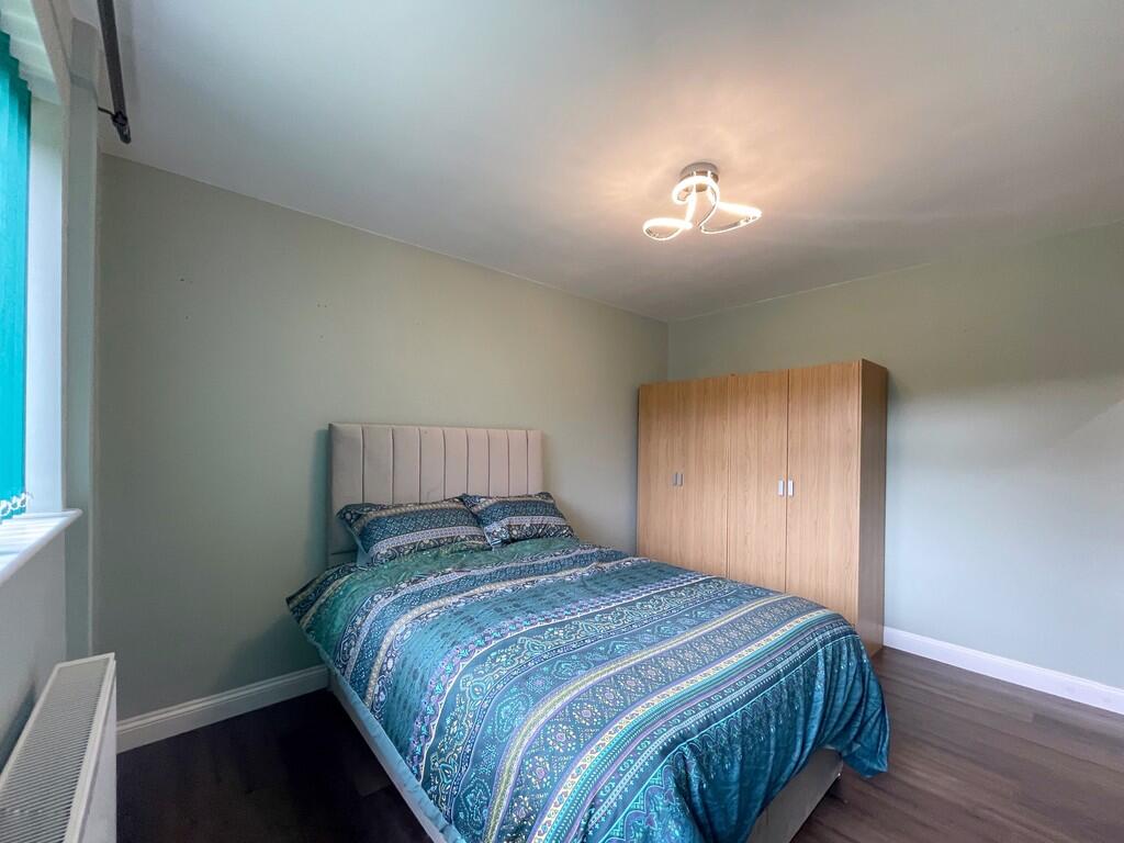
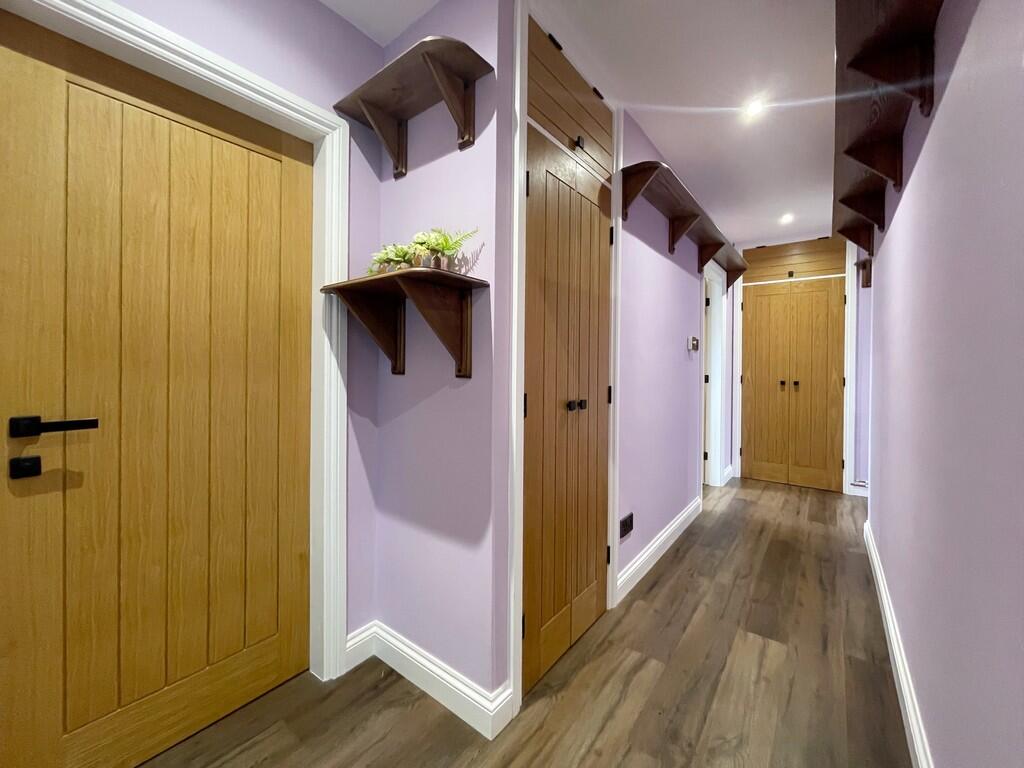
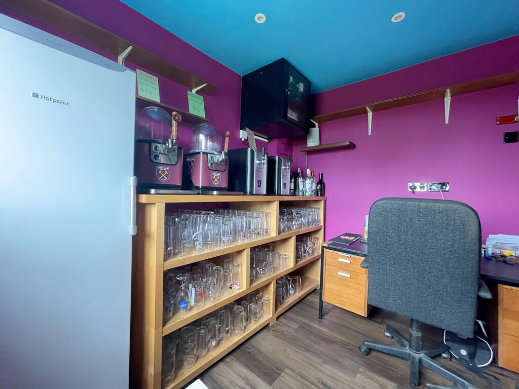
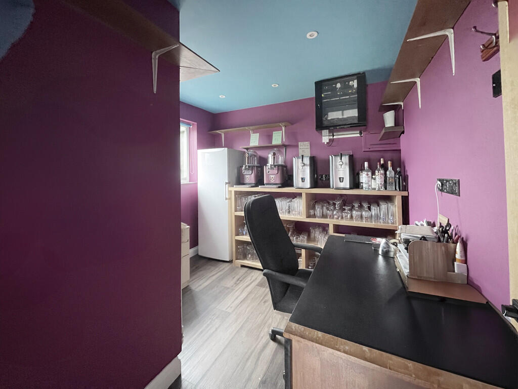
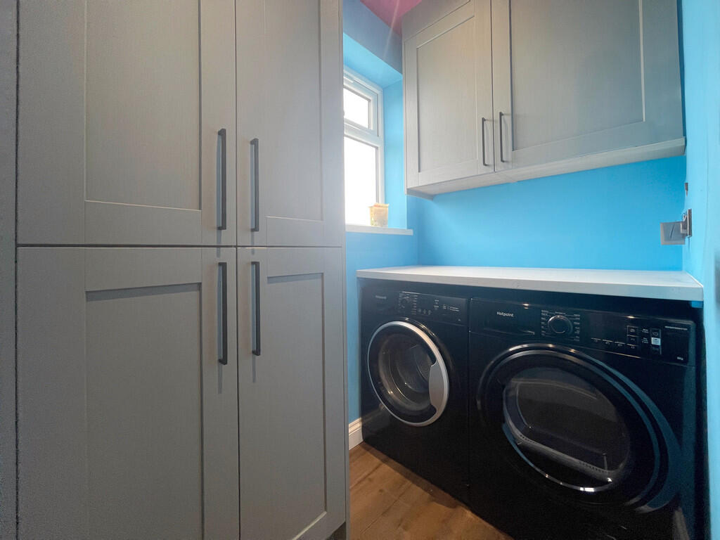
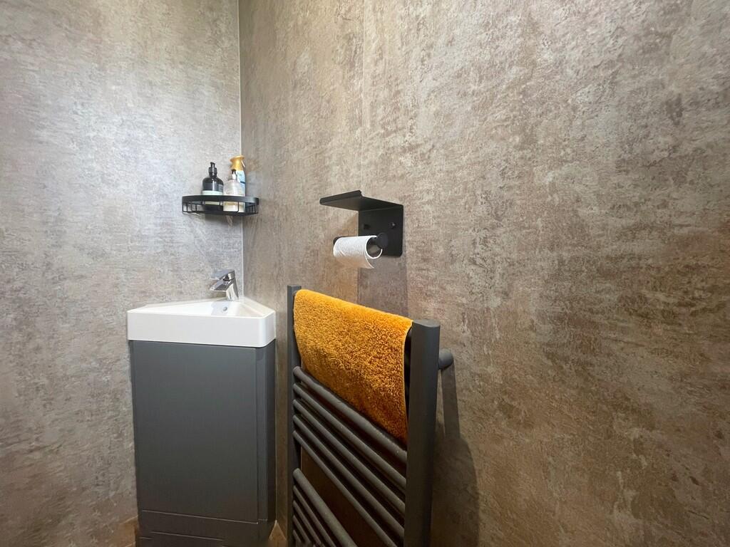
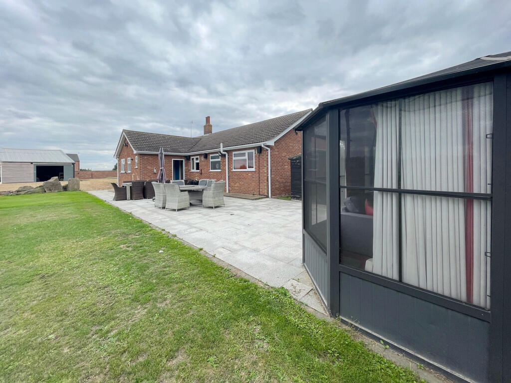
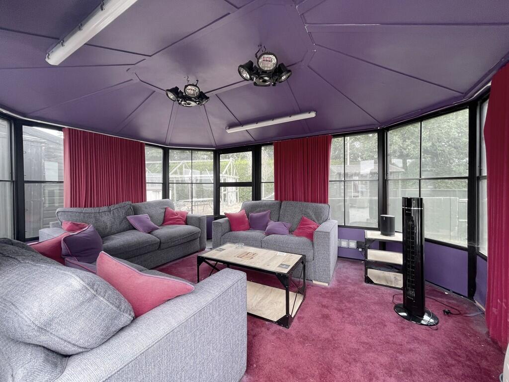
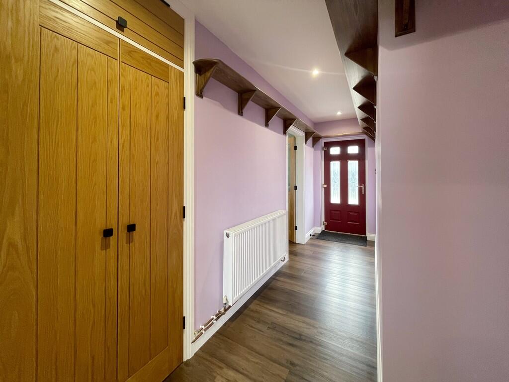
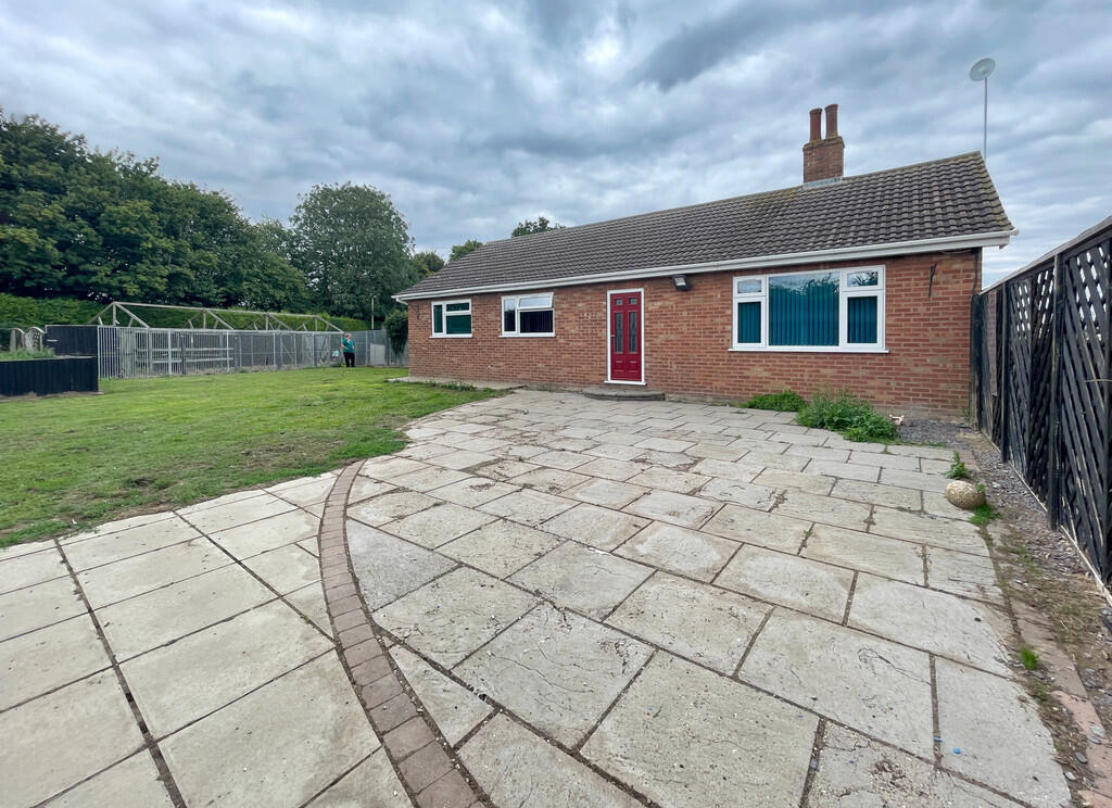
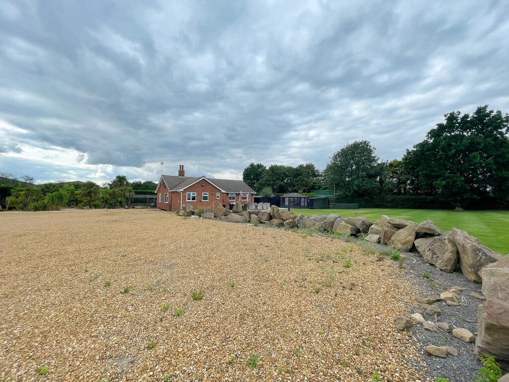
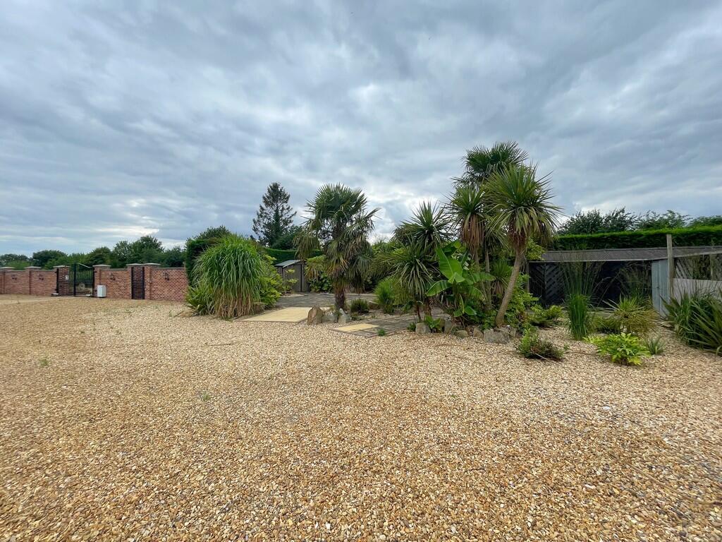
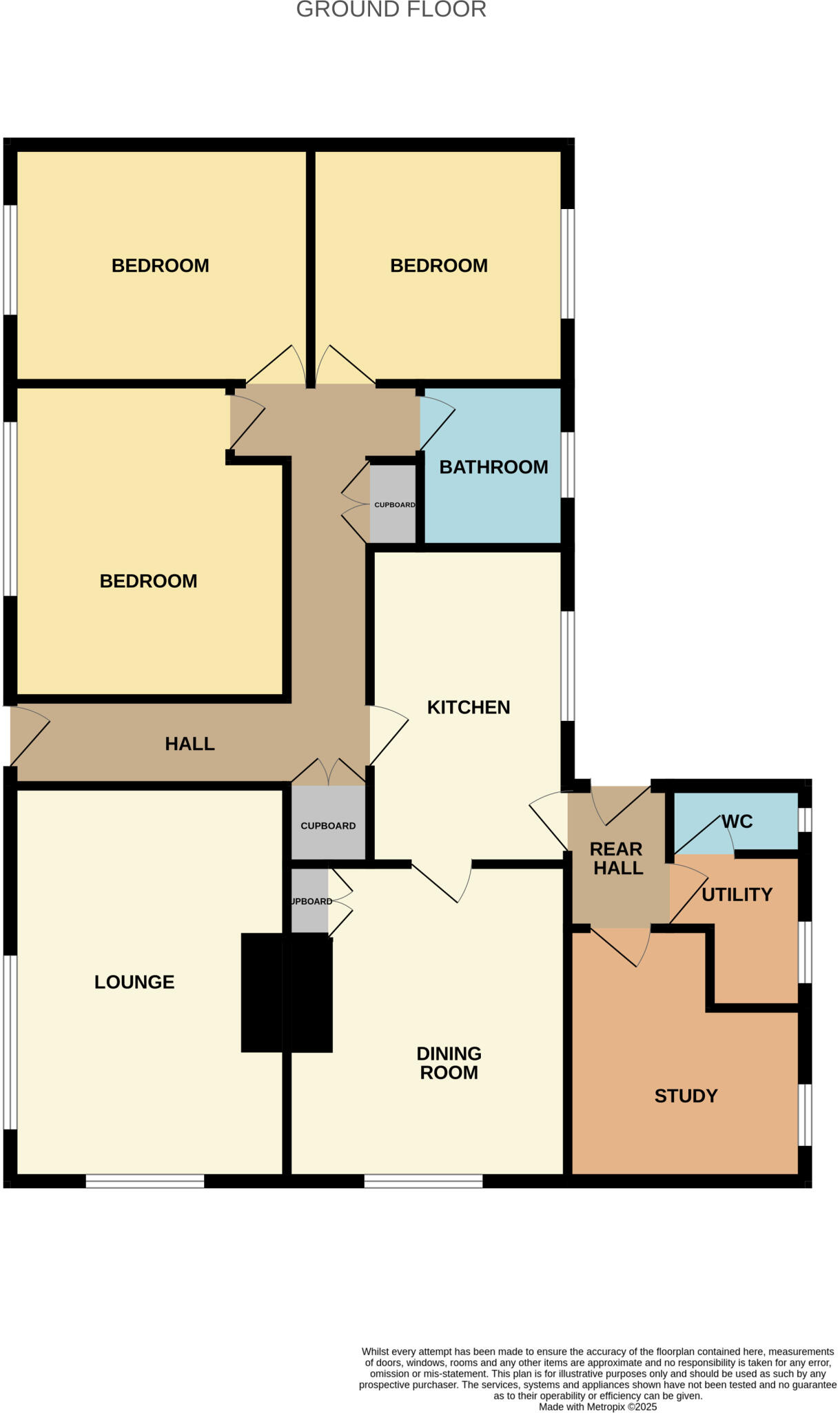
This is a detached bungalow located on Holbeach Road, Spalding. It features three bedrooms and one bathroom within its 1,044 sqft of living space. The interior photos show a modern kitchen and bathroom, suggesting recent renovations. The living spaces appear well-maintained and tastefully decorated. Externally, the property benefits from a large plot with a well-kept lawn and a substantial outbuilding that appears to be used as a games room/workshop. The property also has a large gravel driveway providing ample parking. In terms of location, the property is situated on Holbeach Road, where the average property price is £396,650. Nearby amenities include Spalding train station (5.26km) and several schools, including The Priory School (3.27km) which has an Ofsted rating of Outstanding. The average price per sqft in the area is £255. This property is listed at £610,000, equating to approximately £584 per sqft, significantly higher than the local average. However, this premium may be justified by the property’s overall condition, the size of the plot, and the additional outbuilding. The average property price in the area is £238,562, considerably lower than the listing price, but this is likely due to the larger plot size and additional features of this property.
Therefore, we give this property 7 / 10. *Disclaimer: This is our option and does constitute a recommendation or financial advice. Do your own research. *
- Price
- 6
- Condition
- 8
- Location
- 7
- Land
- 9
- Bedrooms
- 3
- Bathrooms
- 1
- Sqft (est)
- 1,044.00
The heatmap indicates the level of crime in the area. The color of the heatmap indicates the crime severity and recency.
Metrics Year-on-Year
- Average area value
- 238,562.00 £Decreased by 19.94 %
- Est sale value
- 266,220.00 £Increased by 32.12 %
- Average area rental value
- 1,250.00 £/moIncreased by 47.06 %
- Est letting value
- 1,044.00 £/mo
- Est rental Yield
- 6.29 %Increased by 83.92 %
- Crime Rate
- 2.00 %Unchanged by 0.00 %
Agent Activity
Longstaff created the listing.
Nearby Schools
| Name | Type | Ofsted | Distance |
|---|---|---|---|
| Spalding And Deeping St Nicholas Centre | Children's Centre | 2.56 KM | |
| St Paul'S Community Primary And Nursery School, Spalding | Academy Sponsor Led | 2.68 KM | |
| Weston St Mary Church Of England Primary School | Academy Sponsor Led | Good | 2.94 KM |
| The Priory School | Academy Special Converter | Outstanding | 3.27 KM |
| Spalding Academy | Academy Converter | Good | 3.41 KM |
Images


Nearby Streets
| Name | Average Price | Average Sqft | Distance |
|---|---|---|---|
| Holbeach Road | £ 396,650 | 0 | 0.00 KM |
| Reinhard Close | £ 0 | 0 | 0.00 KM |
Nearby Transport
| Name | NLC | TLC | Distance |
|---|---|---|---|
| Spalding | 6388 | SPA | 5.26 KM |
Nearby Listings
| Address | Price | Type | Score | Distance |
|---|---|---|---|---|
| Holbeach Road, Spalding | £ 610,000 | BUY | 7 / 10 | 0.00 KM |
| Holbeach Road, Spalding | £ 475,000 | BUY | 6 / 10 | 0.84 KM |
| Barn with Planning Permission for Conversion, Holbeach Road, Spalding | £ 130,000 | BUY | 5 / 10 | 0.89 KM |
| Holbeach Road, Spalding | £ 415,000 | BUY | 5 / 10 | 0.96 KM |
| Swindlers Drove, Spalding | £ 365,000 | BUY | 6 / 10 | 1.78 KM |
Nearby Properties
| Address | Price | Distance |
|---|---|---|
| Sycamore Farm House | £ 415,000 | 0.84 KM |
| Bellevue Farm | £ 165,000 | 1.08 KM |
| Whitegate | £ 148,000 | 1.96 KM |
| Glenfield | £ 165,000 | 1.97 KM |
| 190 High Road | £ 217,500 | 1.99 KM |