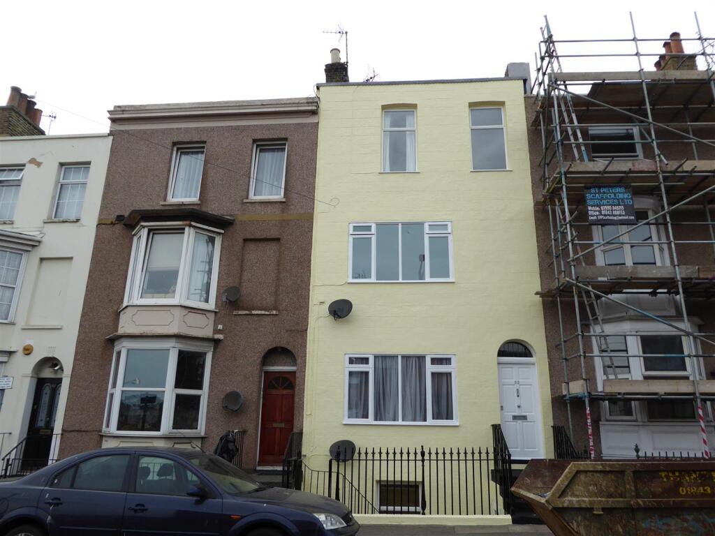

Hardres Street, Ramsgate
By LOVETTS RAMSGATE
£ 1,200
LOVETTS RAMSGATE says ..
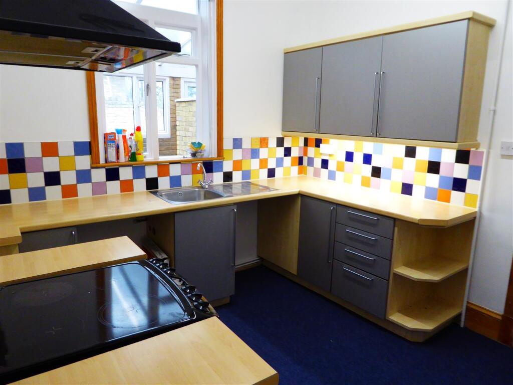
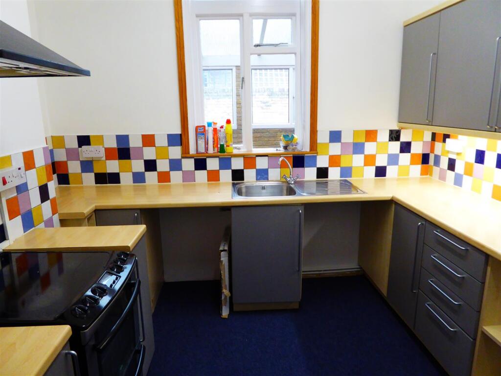
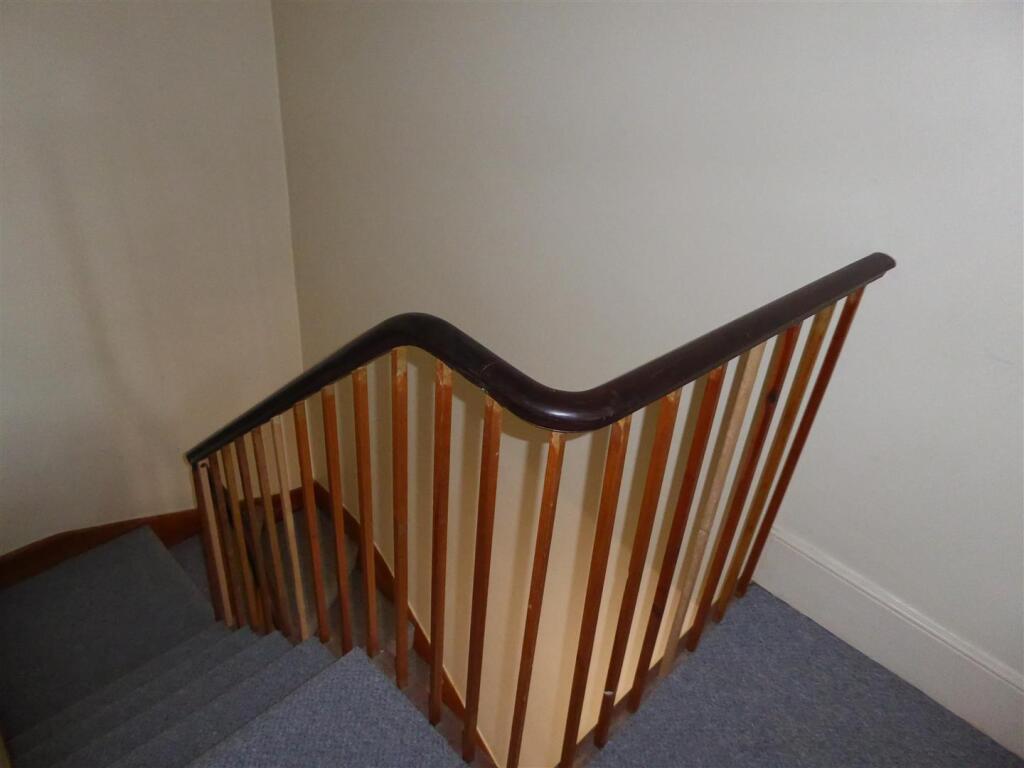
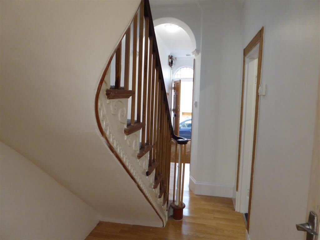
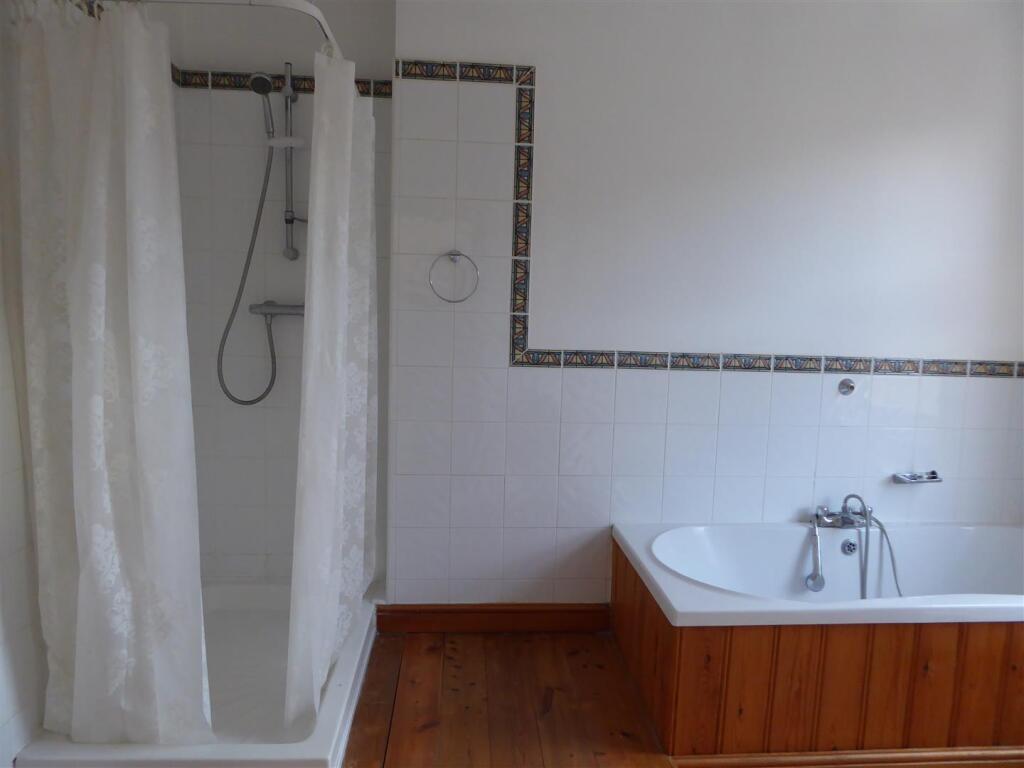
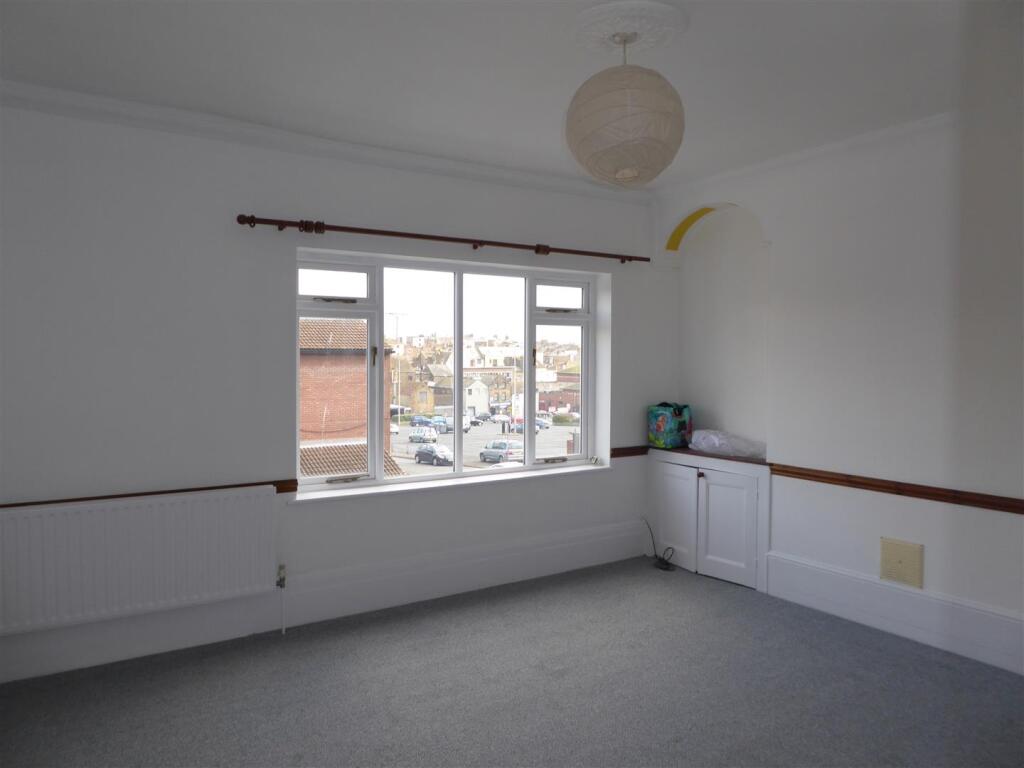
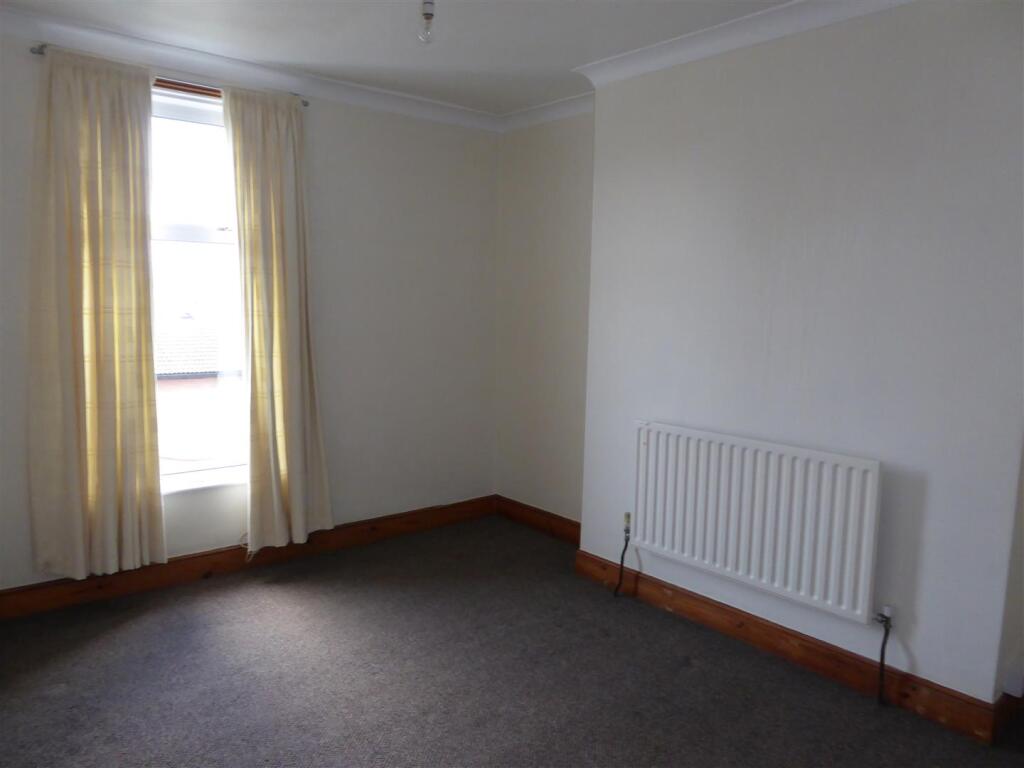
4 Bedroom town house - Situated in the historic Hardres Street Ramsgate.... Available now for viewings. Being newly decorated throughout, this lovely and very large property is arranged over 4 floors and having been newly refurbished and carpeted this property boasts period features alo...
- Bedrooms
- 4
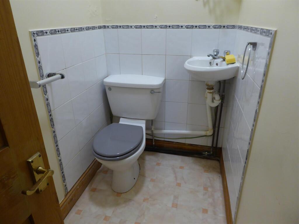
- Bathrooms
- 1
The heatmap indicates the level of crime in the area. The color of the heatmap indicates the crime severity and recency.
Metrics Year-on-Year
- Average area value
- 412,500.00 £Increased by 35.09 %
- Average area rental value
- 1,172.00 £/moIncreased by 28.93 %
- Est rental Yield
- 3.41 %Decreased by 4.48 %
- Crime Rate
- 22.00 %Unchanged by 0.00 %
from 305,348.00 £
from 909.00 £/mo
from 3.57 %
from 22.00 %
Agent Activity
LOVETTS RAMSGATE created the listing.
Nearby Schools
| Name | Type | Ofsted | Distance |
|---|---|---|---|
| Chatham & Clarendon Grammar School | Academy Converter | Good | 0.38 KM |
| Liberty Training | Special Post 16 Institution | Requires improvement | 0.58 KM |
| Priory Children'S Centre | Children's Centre | 0.65 KM | |
| St Ethelbert'S Catholic Primary School | Voluntary Aided School | Good | 0.68 KM |
| Priory Infant School | Community School | Good | 0.82 KM |
Images


Nearby Streets
| Name | Average Price | Average Sqft | Distance |
|---|---|---|---|
| School Lane | £ 190,075 | 0 | 0.00 KM |
| Union Street | £ 0 | 0 | 0.00 KM |
| Belmont Street | £ 199,167 | 0 | 0.00 KM |
| Staffordshire Street | £ 225,000 | 0 | 0.00 KM |
| Broad Street | £ 155,000 | 0 | 0.00 KM |
Nearby Transport
| Name | NLC | TLC | Distance |
|---|---|---|---|
| Dumpton Park | 5034 | DMP | 1.28 KM |
| Ramsgate | 5023 | RAM | 1.55 KM |
| Broadstairs | 5006 | BSR | 3.15 KM |
| Margate | 5018 | MAR | 7.61 KM |
Nearby Listings
| Address | Price | Type | Score | Distance |
|---|---|---|---|---|
| Hardres Street, Ramsgate | £ 1,200 | RENT | Unknown | 0.00 KM |
| Hardres Street, Ramsgate, Kent, CT11 | £ 700 | RENT | Unknown | 0.04 KM |
| The Sherwood, Plot 53, 26 Kingsbury Avenue, Manston, Ramsgate, Kent, CT12 5NG | £ 1,550 | RENT | Unknown | 0.06 KM |
| The Sherwood, Plot 53, 26 Kingsbury Avenue, Manston, Ramsgate, Kent, CT12 5NG | £ 1,550 | RENT | Unknown | 0.06 KM |
| Cleaver Lane, Ramsgate, Kent, CT11 | £ 950 | RENT | Unknown | 0.12 KM |
Nearby Properties
| Address | Price | Distance |
|---|---|---|
| 60 School Lane | £ 150,000 | 0.03 KM |
| 66 School Lane | £ 114,000 | 0.03 KM |
| 52 School Lane | £ 81,000 | 0.03 KM |
| 66 Hardres Street | £ 207,000 | 0.04 KM |
| 70a Hardres Street | £ 113,500 | 0.04 KM |