BL
Norfolk Street, Sunderland, Tyne And Wear, SR1
By BLA Property Services
£ 525
BLA Property Services says ..
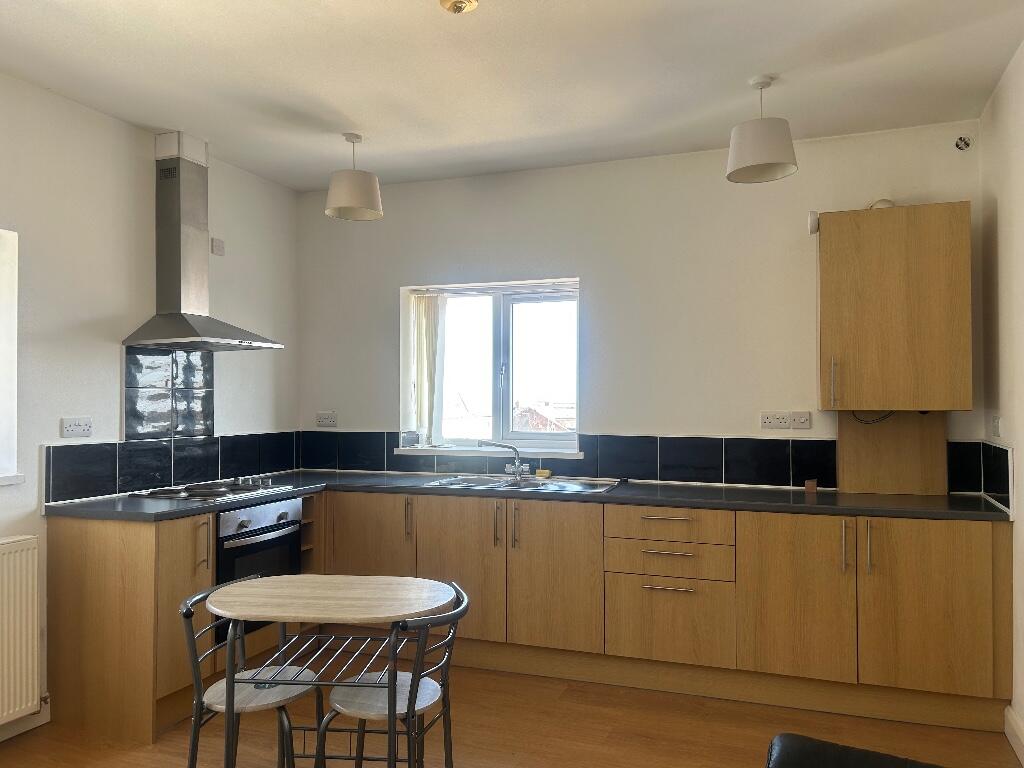
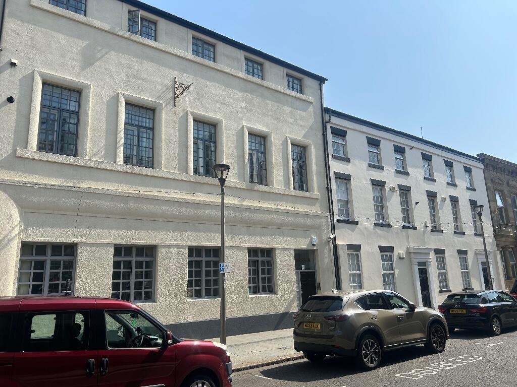
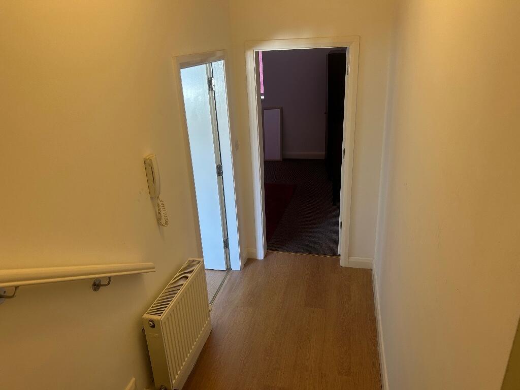
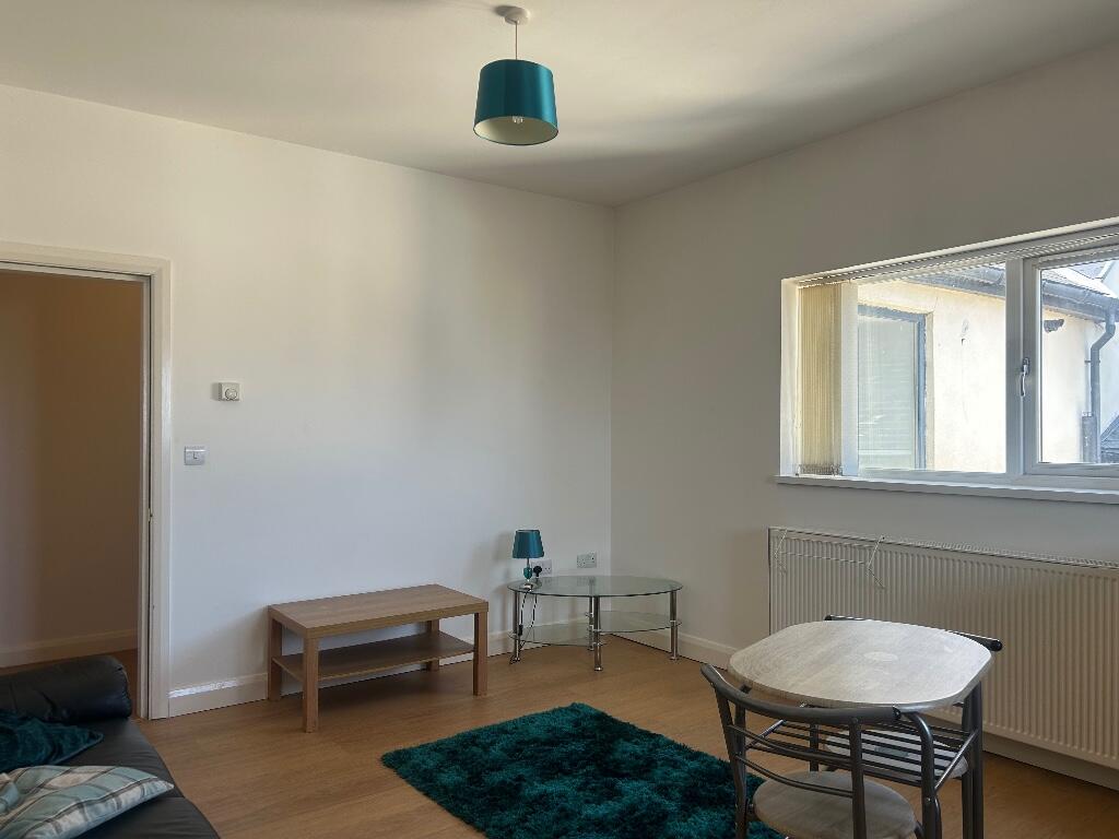
City centre apartment
- Bedrooms
- 1
- Bathrooms
- 0
The heatmap indicates the level of crime in the area. The color of the heatmap indicates the crime severity and recency.
Metrics Year-on-Year
- Average area value
- 502,893.00 £Increased by 16.71 %
- Average area rental value
- 1,587.00 £/moDecreased by 12.80 %
- Est rental Yield
- 3.79 %Decreased by 25.25 %
- Crime Rate
- 8.00 %Unchanged by 0.00 %
from 430,903.00 £
from 1,820.00 £/mo
from 5.07 %
from 8.00 %
Agent Activity
BLA Property Services created the listing.
Nearby Schools
| Name | Type | Ofsted | Distance |
|---|---|---|---|
| Sunderland Children'S Centre East | Children's Centre | 0.55 KM | |
| Hudson Road Primary School | Community School | Good | 0.62 KM |
| Dame Dorothy Primary School | Community School | Good | 0.92 KM |
| Ashbrooke School | Other Independent Special School | Good | 1.39 KM |
| University Of Sunderland | Higher Education Institutions | Good | 1.48 KM |
Images

Nearby Streets
| Name | Average Price | Average Sqft | Distance |
|---|---|---|---|
| William Street | £ 150,000 | 0 | 0.00 KM |
| Lambton Street | £ 0 | 0 | 0.00 KM |
| Athaneum Street | £ 99,950 | 0 | 0.00 KM |
| Bridge Street | £ 0 | 0 | 0.00 KM |
| Pauls Road | £ 0 | 0 | 0.00 KM |
Nearby Transport
| Name | NLC | TLC | Distance |
|---|---|---|---|
| Sunderland | 7640 | SUN | 0.48 KM |
| Seaham | 7814 | SEA | 8.36 KM |
Nearby Listings
| Address | Price | Type | Score | Distance |
|---|---|---|---|---|
| Norfolk Street, Sunderland, Tyne And Wear, SR1 | £ 575 | RENT | Unknown | 0.00 KM |
| Norfolk Street, Sunderland, Tyne And Wear, SR1 | £ 525 | RENT | Unknown | 0.00 KM |
| Norfolk Street, Sunderland, SR1 | £ 1,907 | RENT | Unknown | 0.01 KM |
| Maritime Buildings, St Thomas Street, City Centre Sunderland, SR1 | £ 700 | RENT | Unknown | 0.05 KM |
| Maritime Building, Sunderland, Sunniside, City Centre, SR1 | £ 795 | RENT | Unknown | 0.05 KM |
Nearby Properties
| Address | Price | Distance |
|---|---|---|
| 4d Norfolk Street | £ 25,000 | 0.00 KM |
| 4f Norfolk Street | £ 115,000 | 0.00 KM |
| 4e Norfolk Street | £ 25,000 | 0.00 KM |
| 21 Norfolk Street | £ 390,000 | 0.00 KM |
| 4b Norfolk Street | £ 38,000 | 0.00 KM |