MA
Damson Lane
By Martin & Co
£ 925
Martin & Co says ..
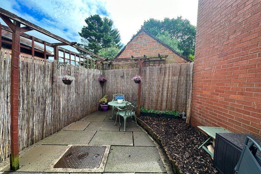
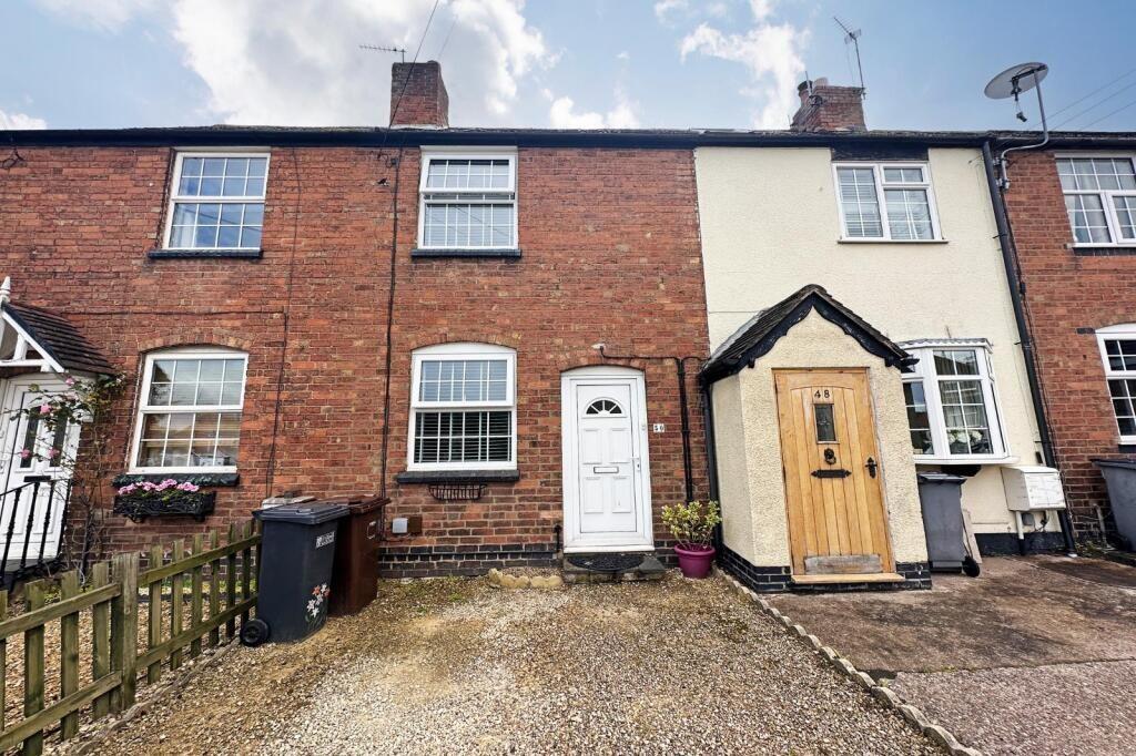
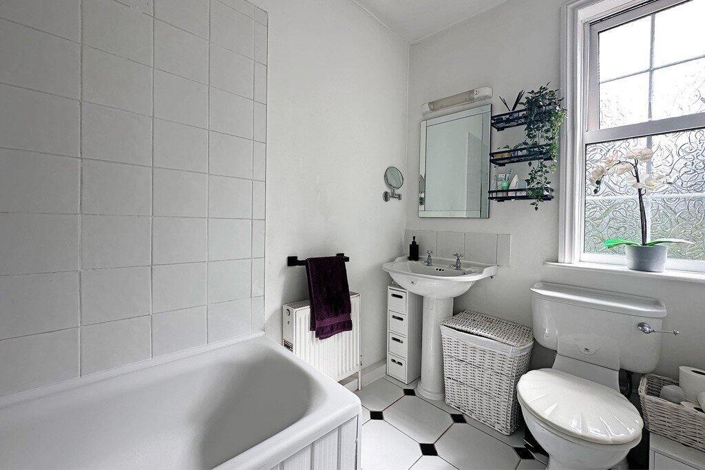
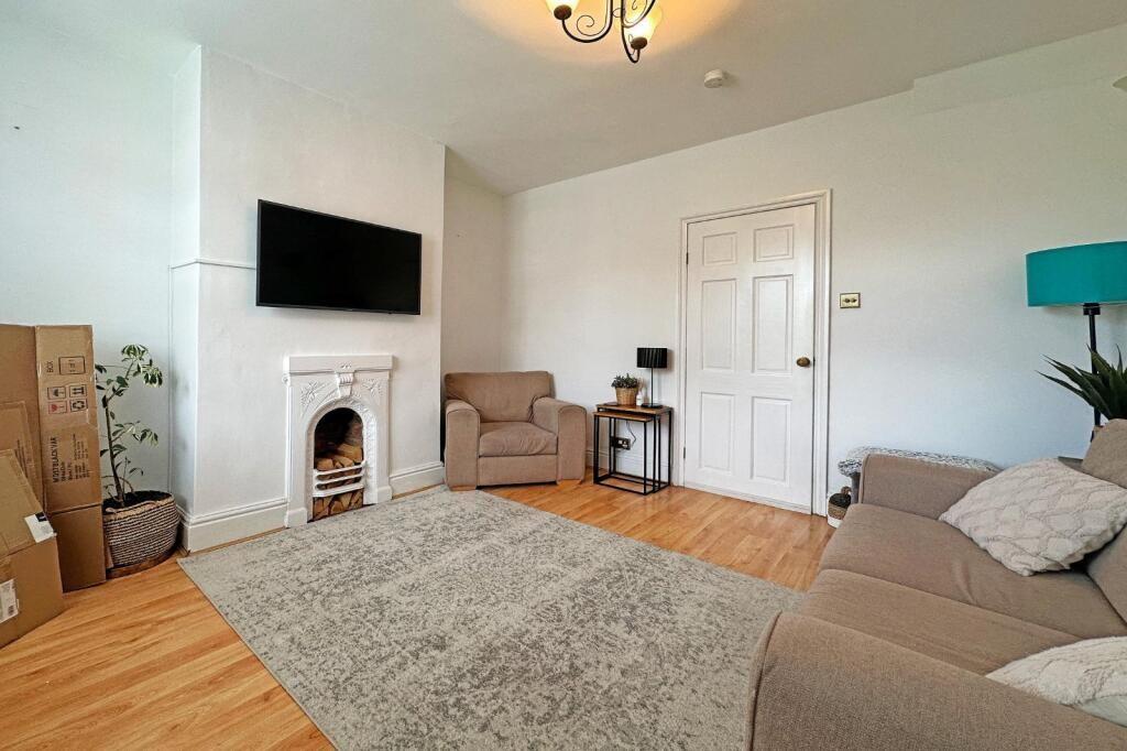
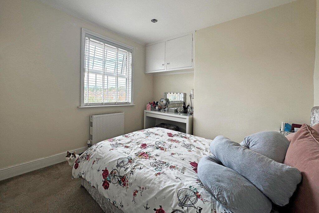
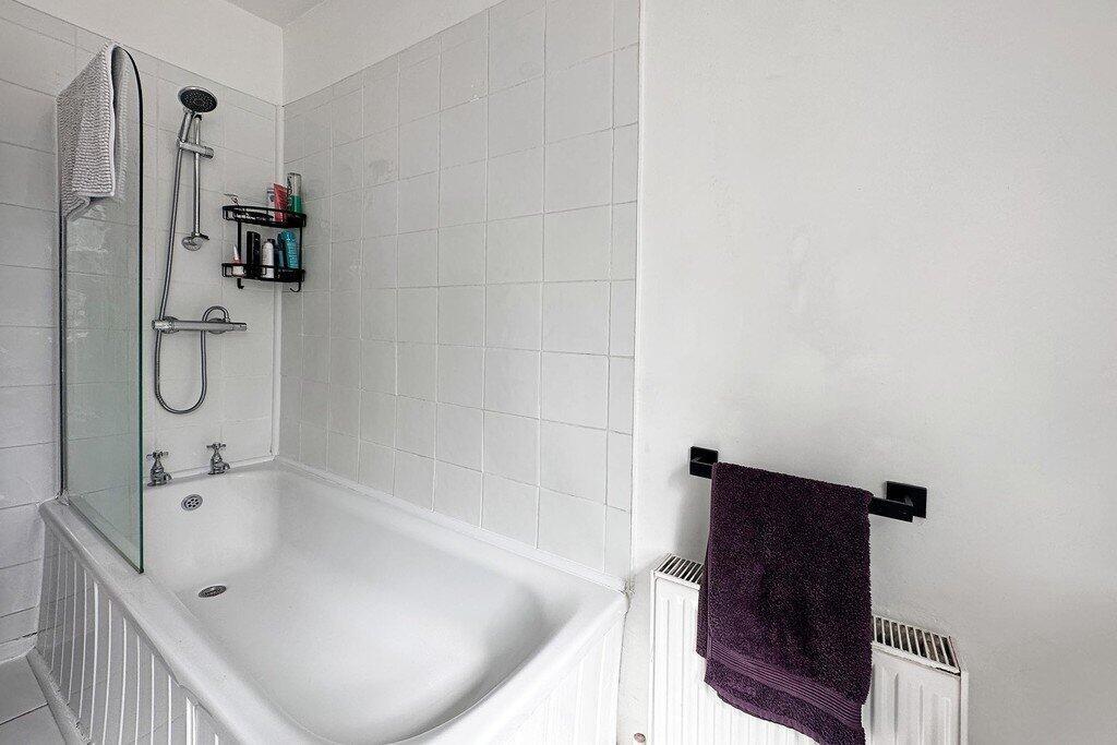
*Mid-Terraced House* Unfurnished* One Bedroom * Reception Room * Fitted Kitchen with Cooker * Family Bathroom * Gas Central Heating * Double Glazing * Driveway * EPC Rating D * Council Tax Band A * Available October 2025 *
- Bedrooms
- 1
- Bathrooms
- 1
The heatmap indicates the level of crime in the area. The color of the heatmap indicates the crime severity and recency.
Metrics Year-on-Year
- Average area value
- 603,889.00 £Increased by 40.02 %
- Average area rental value
- 1,340.00 £/moIncreased by 1.44 %
- Est rental Yield
- 2.66 %Decreased by 27.72 %
- Crime Rate
- 8.00 %Unchanged by 0.00 %
from 431,274.00 £
from 1,321.00 £/mo
from 3.68 %
from 8.00 %
Agent Activity
Martin & Co created the listing.
Nearby Schools
| Name | Type | Ofsted | Distance |
|---|---|---|---|
| Tudor Grange Primary Academy Yew Tree | Academy Converter | 0.24 KM | |
| Coppice Junior School | Community School | Requires improvement | 0.76 KM |
| Damson Wood Nursery And Infant School | Academy Sponsor Led | Good | 0.79 KM |
| Solihull School | Other Independent School | 1.20 KM | |
| Triple Crown Centre | Pupil Referral Unit | Good | 1.49 KM |
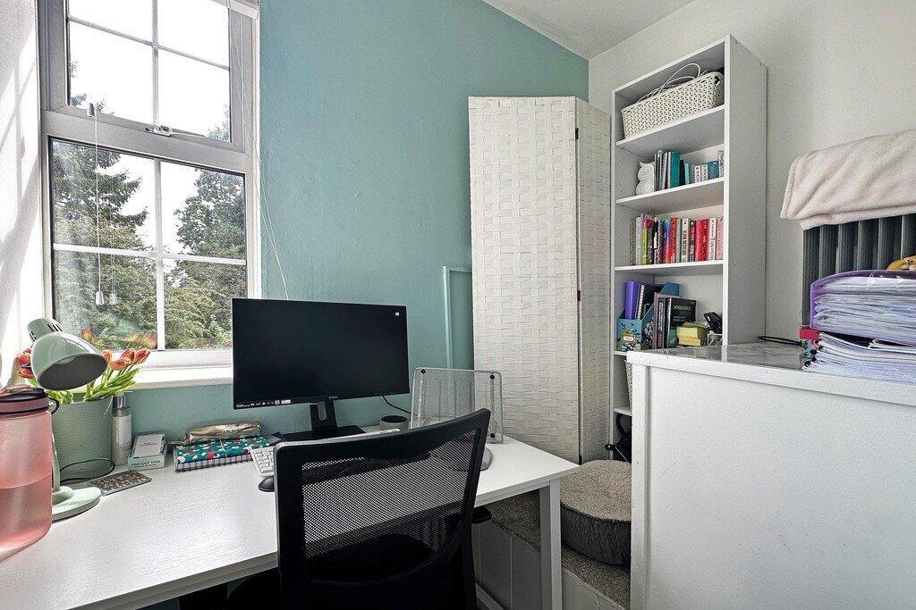
Images

Nearby Streets
| Name | Average Price | Average Sqft | Distance |
|---|---|---|---|
| Heath Road | £ 350,000 | 0 | 0.00 KM |
| Damson Parkway | £ 0 | 0 | 0.00 KM |
| School Lane | £ 565,833 | 0 | 0.00 KM |
| Wheatley Close | £ 0 | 0 | 0.00 KM |
| Eastfield Drive | £ 0 | 0 | 0.00 KM |
Nearby Transport
| Name | NLC | TLC | Distance |
|---|---|---|---|
| Solihull | 4527 | SOL | 2.76 KM |
| Widney Manor | 4528 | WMR | 3.23 KM |
| Olton | 4533 | OLT | 4.65 KM |
| Marston Green | 1034 | MGN | 4.98 KM |
| Birmingham International | 1215 | BHI | 5.30 KM |
Nearby Listings
| Address | Price | Type | Score | Distance |
|---|---|---|---|---|
| Damson Lane | £ 925 | RENT | Unknown | 0.00 KM |
| Damson Lane, Solihull, B91 2RE | £ 1,350 | RENT | Unknown | 0.00 KM |
| Damson Lane, Solihull, West Midlands, B91 | £ 925 | RENT | Unknown | 0.05 KM |
| Alston Road, Solihull, B91 2RG | £ 1,000 | RENT | Unknown | 0.16 KM |
| Alston Road, Solihull | £ 1,250 | RENT | Unknown | 0.16 KM |
Nearby Properties
| Address | Price | Distance |
|---|---|---|
| 52 Damson Lane | £ 199,500 | 0.00 KM |
| 46 Damson Lane | £ 183,000 | 0.00 KM |
| 40 Damson Lane | £ 175,000 | 0.00 KM |
| 30 Damson Lane | £ 174,000 | 0.00 KM |
| 48 Damson Lane | £ 160,000 | 0.00 KM |