
High Street, Hungerford, Berkshire, RG17
By Knight Frank
£ 650,000
Reviews
2 out of 5 stars
Knight Frank says ..
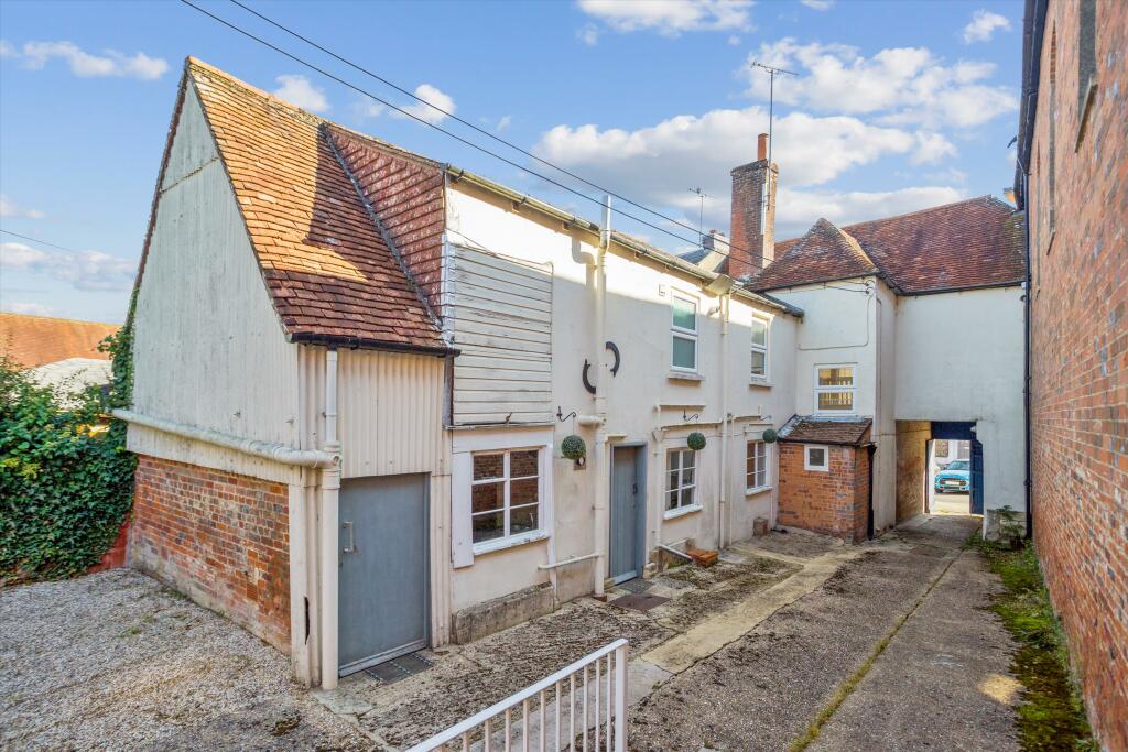
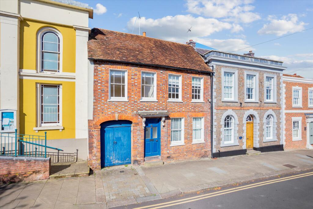
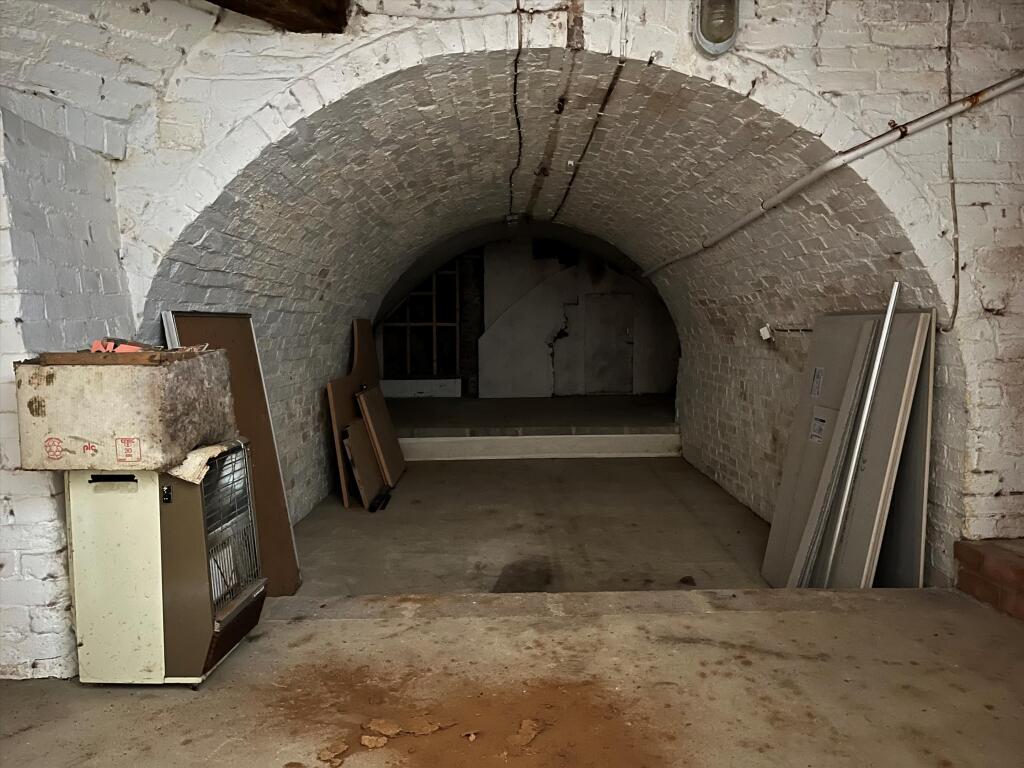
A rare opportunity to purchase and modernise a prominent townhouse with planning permission and Commoner’s Rights. The property has previously had office tenants on the ground floor with a residential flat above; however, planning consent was granted in October 2021 to "Demolish part office ...
Property Oracle says ..
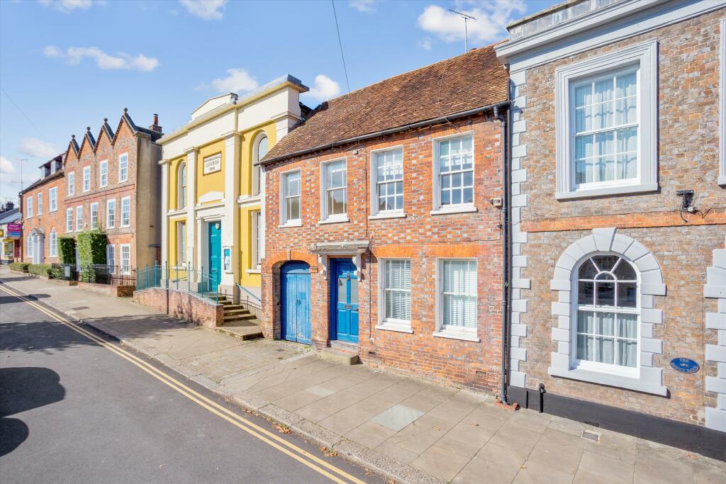
The property is located on the High Street in Hungerford, Berkshire. Hungerford is a charming market town with a good range of amenities including shops, restaurants, and a train station providing access to London. The proximity to Hungerford Primary School and Hungerford Nursery School Centre for Children (both rated ‘Good’ or ‘Outstanding’ by Ofsted) is a positive for families. The town’s location in West Berkshire offers a balance between town and country living.
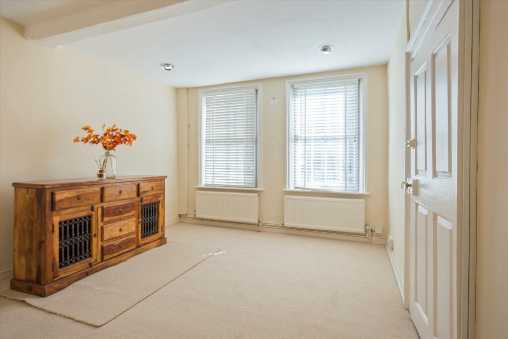
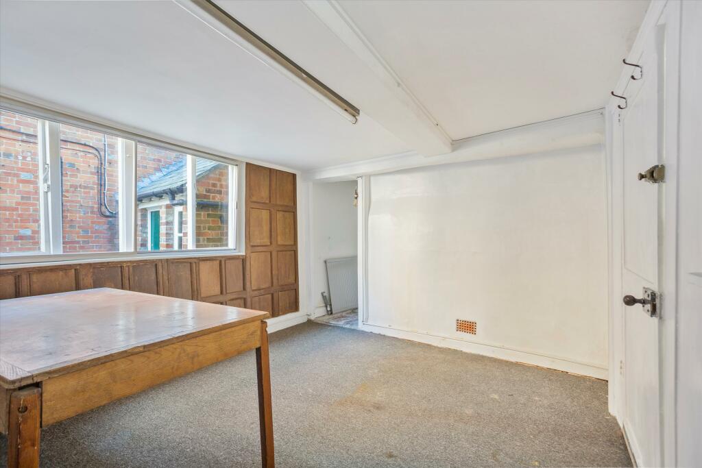
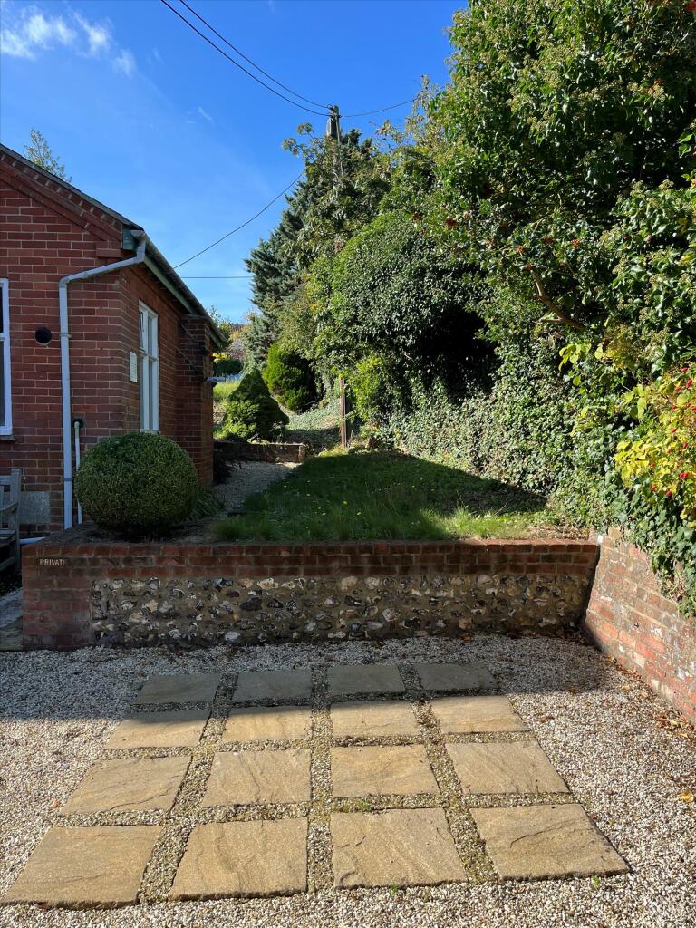
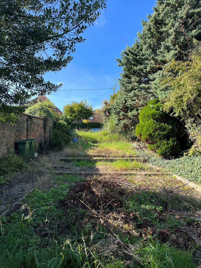
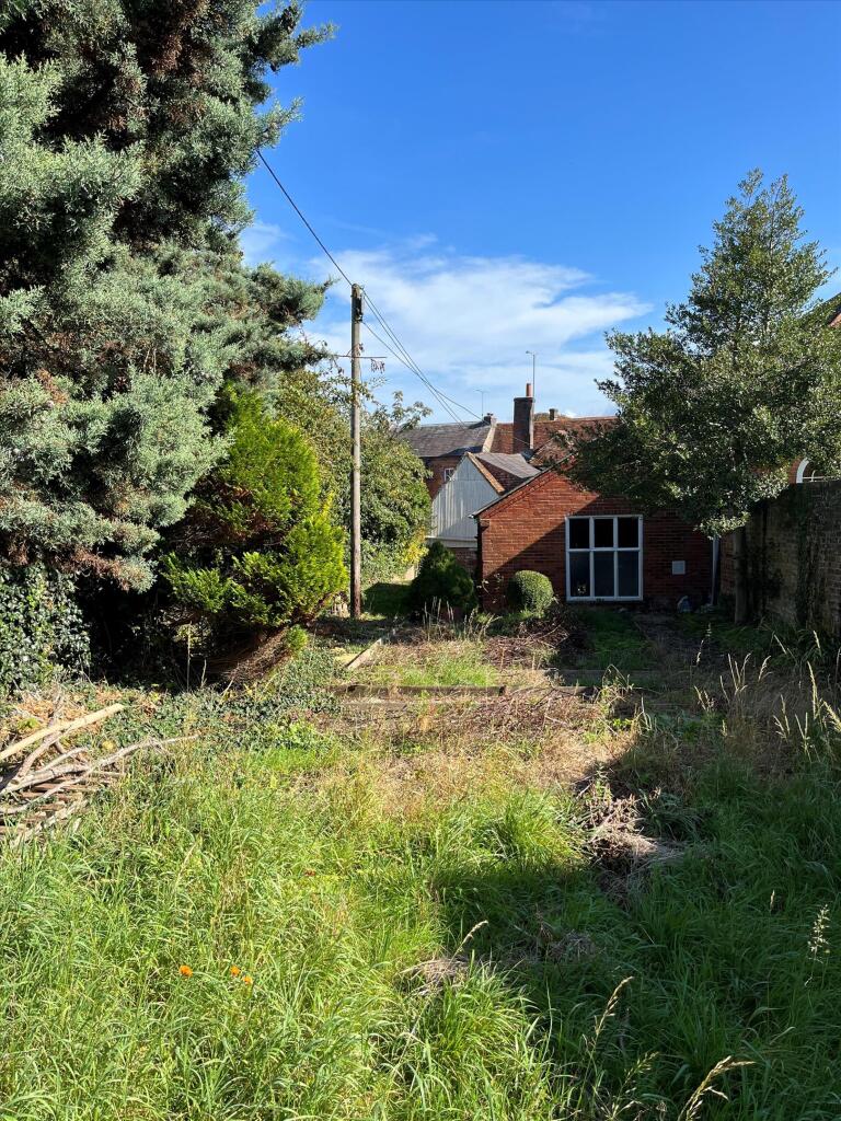
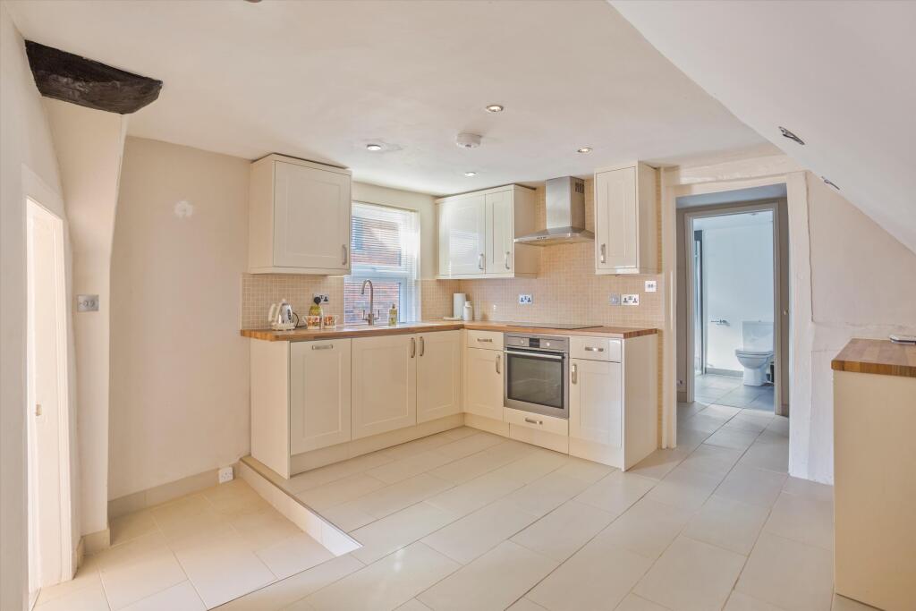
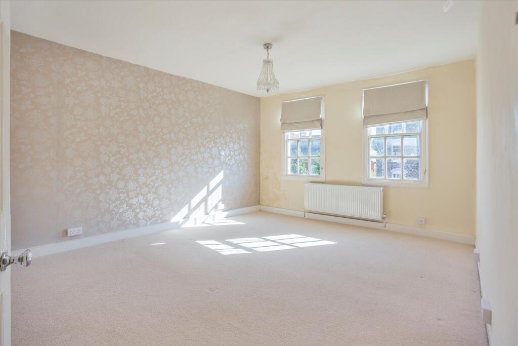
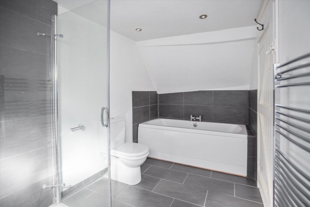
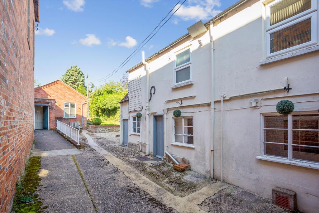
Based on the photos, the property appears to be in need of some modernisation and updating. Whilst some areas, such as the bathroom, show recent improvements, other areas appear dated and require attention. The garden is present but requires significant landscaping and upkeep. It is currently overgrown and unkempt.
The list price of £650,000 is significantly higher than the average house price in the area (£508,714). However, without the square footage of the property, a precise price per square foot comparison cannot be made. The lack of square footage information also makes it difficult to accurately assess the value for money. The property’s location on the High Street and its potential for modernisation could justify a higher price, but a full assessment requires more details. The planning permission granted for the property may also influence its value.
Therefore, we give this property 5 / 10. *Disclaimer: This is our option and does constitute a recommendation or financial advice. Do your own research. *
- Price
- 5
- Condition
- 6
- Location
- 8
- Land
- 3
- Bedrooms
- 4
- Bathrooms
- 2
The heatmap indicates the level of crime in the area. The color of the heatmap indicates the crime severity and recency.
Metrics Year-on-Year
- Average area value
- 705,000.00 £Increased by 17.41 %
- Average area rental value
- 1,519.00 £/moDecreased by 28.69 %
- Est rental Yield
- 2.59 %Decreased by 39.20 %
- Crime Rate
- 28.00 %Unchanged by 0.00 %
Agent Activity
Knight Frank created the listing.
Nearby Schools
| Name | Type | Ofsted | Distance |
|---|---|---|---|
| Hungerford Primary School | Community School | Good | 0.34 KM |
| Hungerford Nursery School Centre For Children | Local Authority Nursery School | Outstanding | 0.43 KM |
| John O'Gaunt School | Academy Sponsor Led | Good | 0.99 KM |
| Chilton Foliat Church Of England Primary School | Voluntary Aided School | Good | 3.43 KM |
| Shalbourne Cofe Primary School | Voluntary Controlled School | Good | 6.06 KM |
Images


Nearby Streets
| Name | Average Price | Average Sqft | Distance |
|---|---|---|---|
| Neates Yard | £ 0 | 0 | 0.00 KM |
| The Cuttings | £ 0 | 0 | 0.00 KM |
| Townview | £ 475,000 | 0 | 0.00 KM |
| Barnards Court | £ 130,000 | 0 | 0.00 KM |
| Priory Place | £ 0 | 0 | 0.00 KM |
Nearby Transport
| Name | NLC | TLC | Distance |
|---|---|---|---|
| Hungerford | 3072 | HGD | 0.42 KM |
| Kintbury | 3073 | KIT | 7.85 KM |
| Bedwyn | 3070 | BDW | 9.92 KM |
Nearby Listings
| Address | Price | Type | Score | Distance |
|---|---|---|---|---|
| High Street, Hungerford, Berkshire, RG17 | £ 650,000 | BUY | 5 / 10 | 0.00 KM |
| High Street, Hungerford, Berkshire, RG17 | £ 275,000 | BUY | Unknown | 0.01 KM |
| High Street, Hungerford, Berkshire, RG17 | £ 1,200,000 | BUY | Unknown | 0.02 KM |
| High Street, Hungerford | £ 375,000 | BUY | 7 / 10 | 0.09 KM |
| Crown Mews, Hungerford, Berkshire, RG17 0NR. | £ 210,000 | BUY | 6 / 10 | 0.14 KM |
Nearby Properties
| Address | Price | Distance |
|---|---|---|
| 35 High Street | £ 325,000 | 0.02 KM |
| 34a High Street | £ 160,000 | 0.02 KM |
| 33 High Street | £ 1,600,000 | 0.03 KM |
| 38 High Street | £ 235,000 | 0.03 KM |
| 96a High Street | £ 140,000 | 0.04 KM |