
MA
Vale Road, Portslade, BN41
By Mansell McTaggart
£ 2,200
Mansell McTaggart says ..
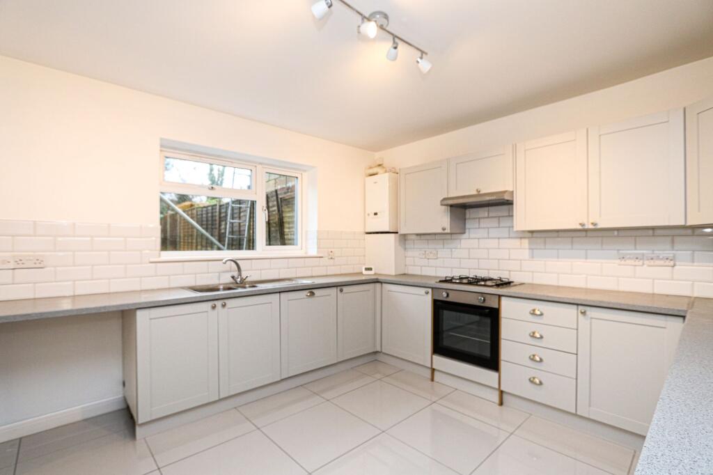
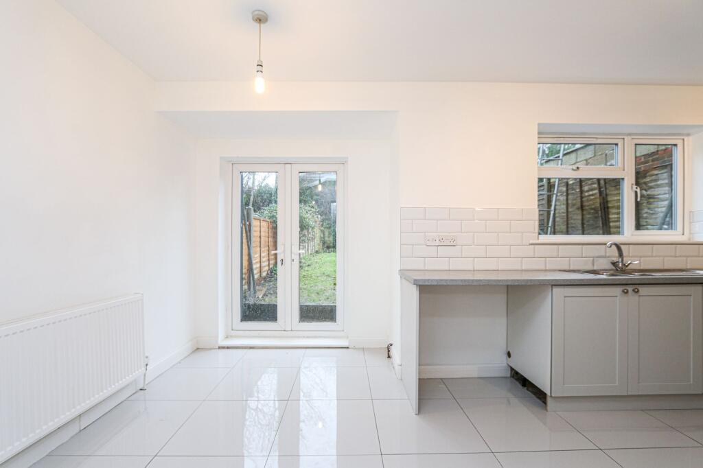
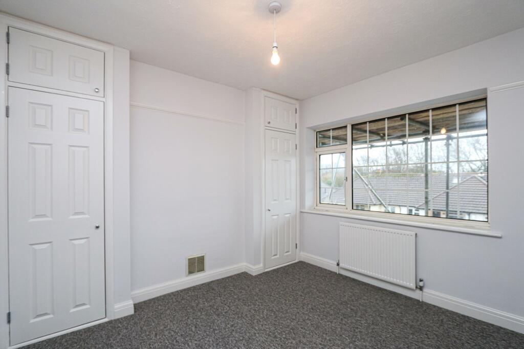
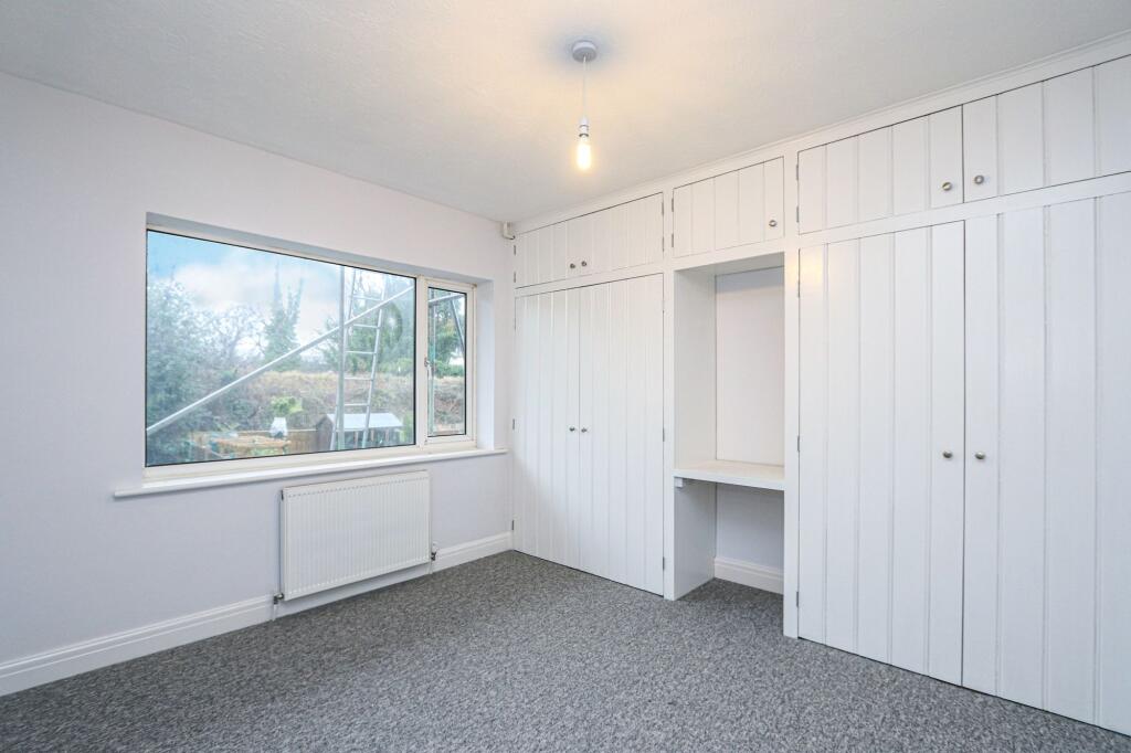
Four bedroom terraced family home
- Bedrooms
- 4
- Bathrooms
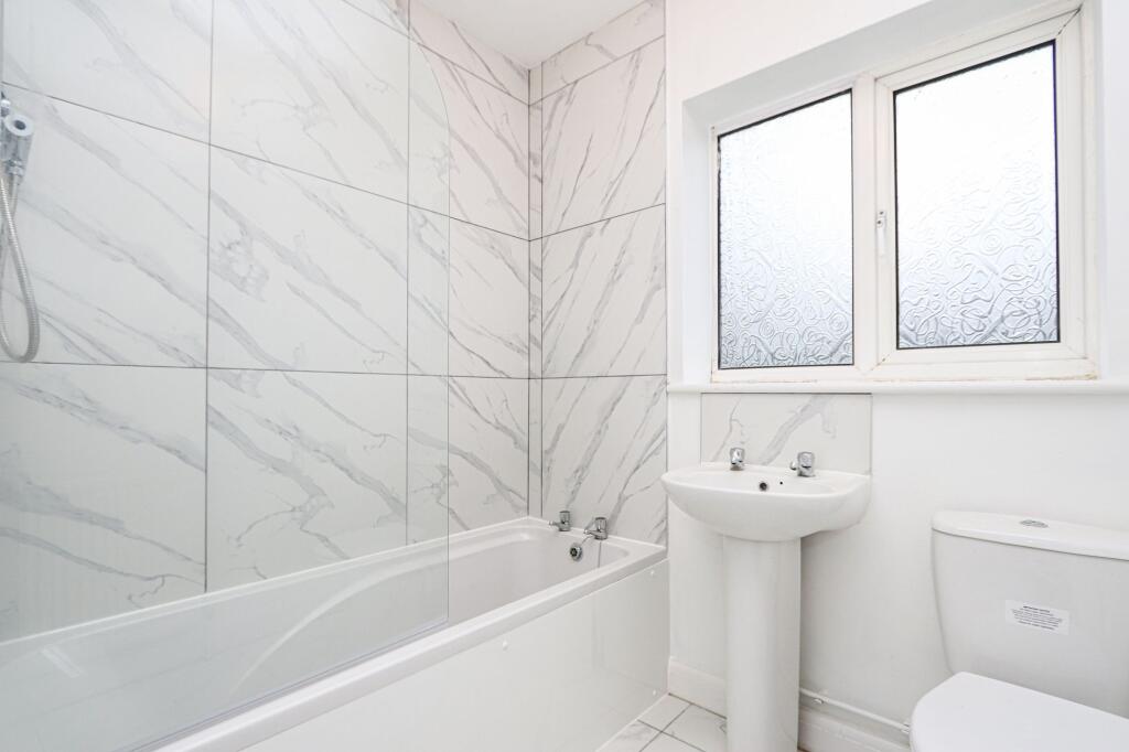
- 1
The heatmap indicates the level of crime in the area. The color of the heatmap indicates the crime severity and recency.
Metrics Year-on-Year
- Average area value
- 415,309.00 £Decreased by 4.12 %
- Average area rental value
- 1,273.00 £/moDecreased by 21.18 %
- Est rental Yield
- 3.68 %Decreased by 17.67 %
- Crime Rate
- 6.00 %Unchanged by 0.00 %
from 433,176.00 £
from 1,615.00 £/mo
from 4.47 %
from 6.00 %
Agent Activity
Mansell McTaggart created the listing.
Nearby Schools
| Name | Type | Ofsted | Distance |
|---|---|---|---|
| St Mary'S Catholic Primary School | Voluntary Aided School | Good | 0.29 KM |
| South Portslade Children'S Centre | Children's Centre Linked Site | 0.48 KM | |
| Benfield Primary School | Community School | Good | 0.48 KM |
| St Peter'S Community Primary School | Community School | Good | 0.50 KM |
| Brackenbury Primary School | Community School | Requires improvement | 0.66 KM |
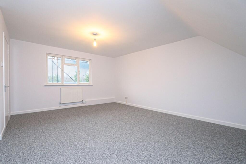
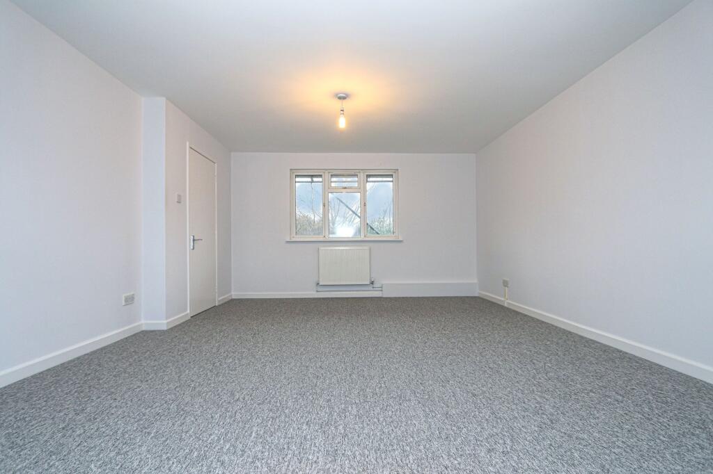
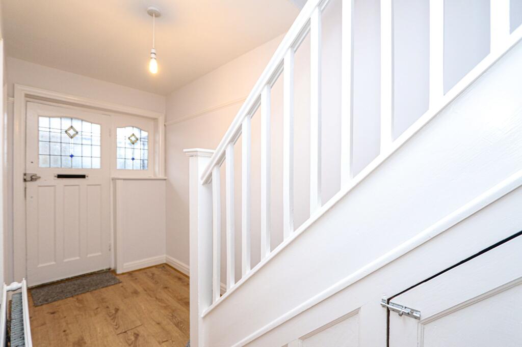
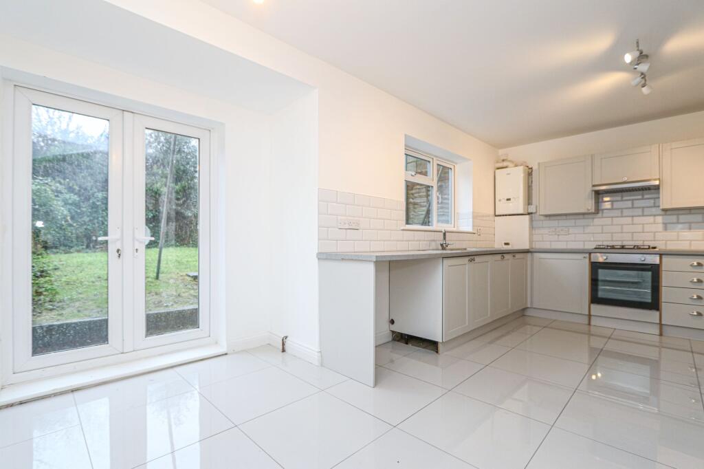
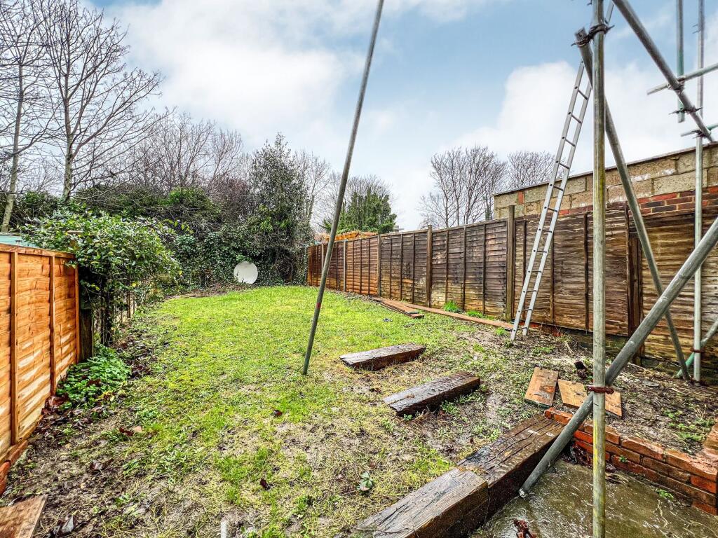
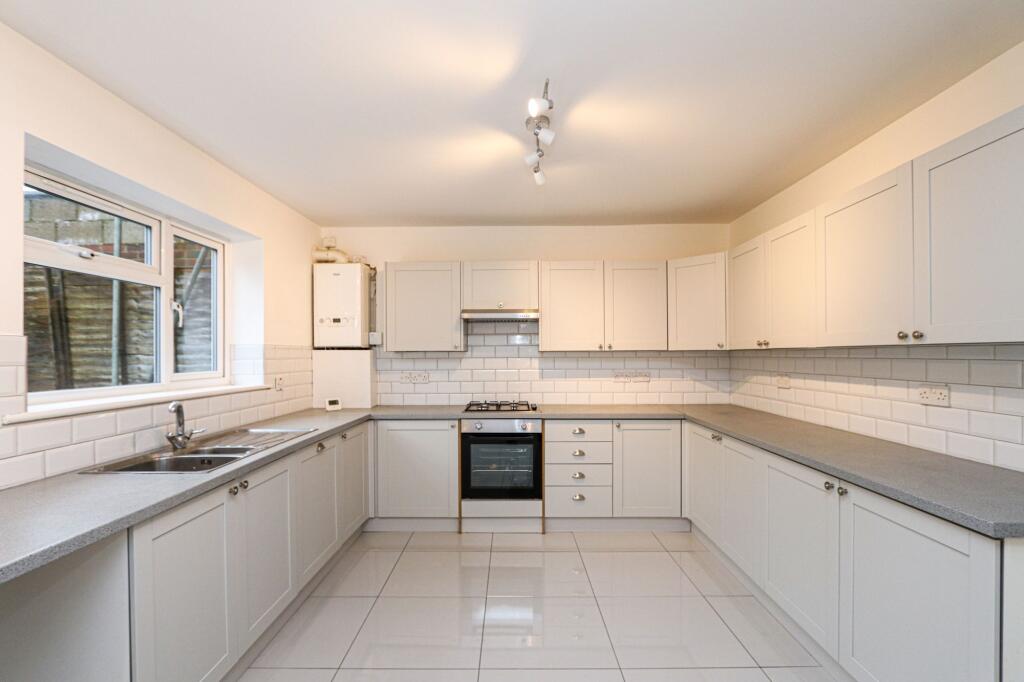
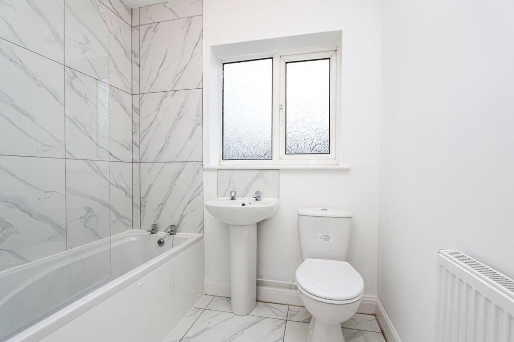
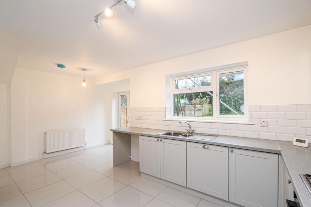
Images


Nearby Streets
| Name | Average Price | Average Sqft | Distance |
|---|---|---|---|
| Vale Gardens | £ 0 | 0 | 0.00 KM |
| Church Street | £ 0 | 0 | 0.00 KM |
| Victoria Park Gardens | £ 0 | 0 | 0.00 KM |
| Beaconsfield Road | £ 365,000 | 0 | 0.00 KM |
| Gordon Close | £ 0 | 0 | 0.00 KM |
Nearby Transport
| Name | NLC | TLC | Distance |
|---|---|---|---|
| Fishersgate | 5284 | FSG | 0.75 KM |
| Portslade | 5276 | PLD | 0.82 KM |
| Southwick | 5286 | SWK | 2.59 KM |
| Aldrington | 5280 | AGT | 3.20 KM |
| Hove | 5273 | HOV | 4.64 KM |
Nearby Listings
| Address | Price | Type | Score | Distance |
|---|---|---|---|---|
| Vale Road, Portslade, BN41 | £ 2,200 | RENT | Unknown | 0.00 KM |
| Vale Road, Portslade, BN41 1GE | £ 1,995 | RENT | Unknown | 0.04 KM |
| Denmark Road, Brighton | £ 2,000 | RENT | Unknown | 0.21 KM |
| Vale Road, Portslade, BN41 | £ 1,200 | RENT | Unknown | 0.25 KM |
| St. Andrews Road, Portslade, Brighton, BN41 | £ 2,950 | RENT | Unknown | 0.27 KM |
Nearby Properties
| Address | Price | Distance |
|---|---|---|
| 85 Vale Road | £ 277,500 | 0.07 KM |
| 77 Vale Road | £ 292,000 | 0.07 KM |
| 87 Vale Road | £ 241,000 | 0.07 KM |
| 99 Vale Road | £ 550,000 | 0.07 KM |
| 113 Vale Road | £ 246,000 | 0.07 KM |