
Swerford
By Maxwell Douglas
£ 800,000
Maxwell Douglas says ..
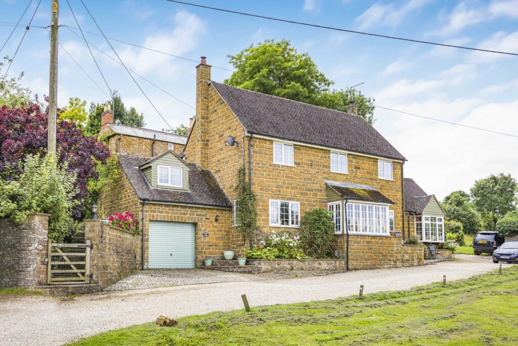
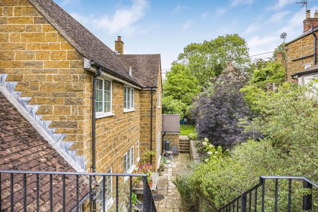
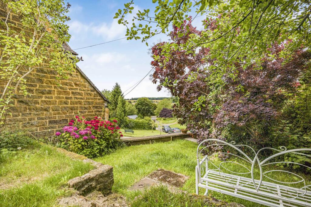
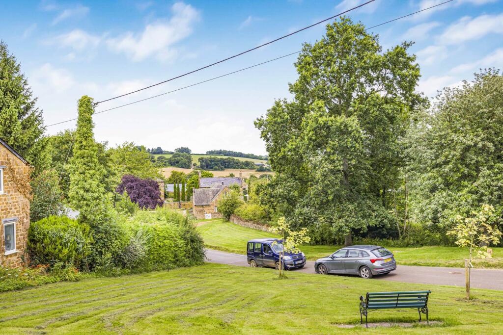
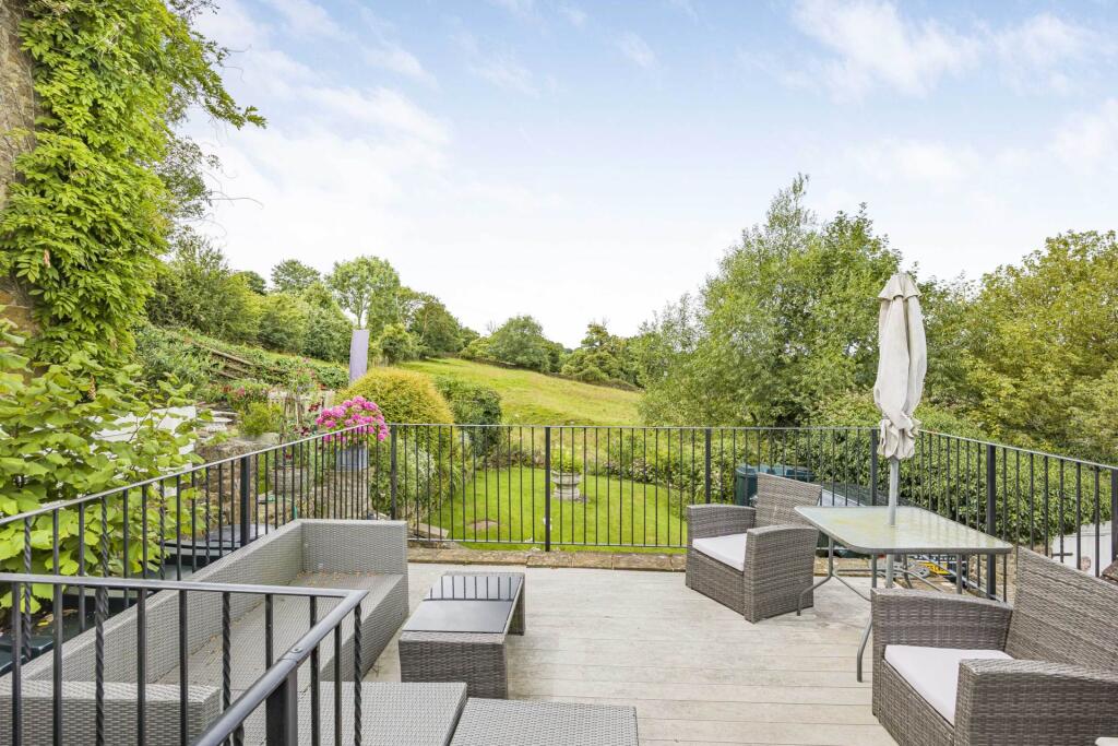
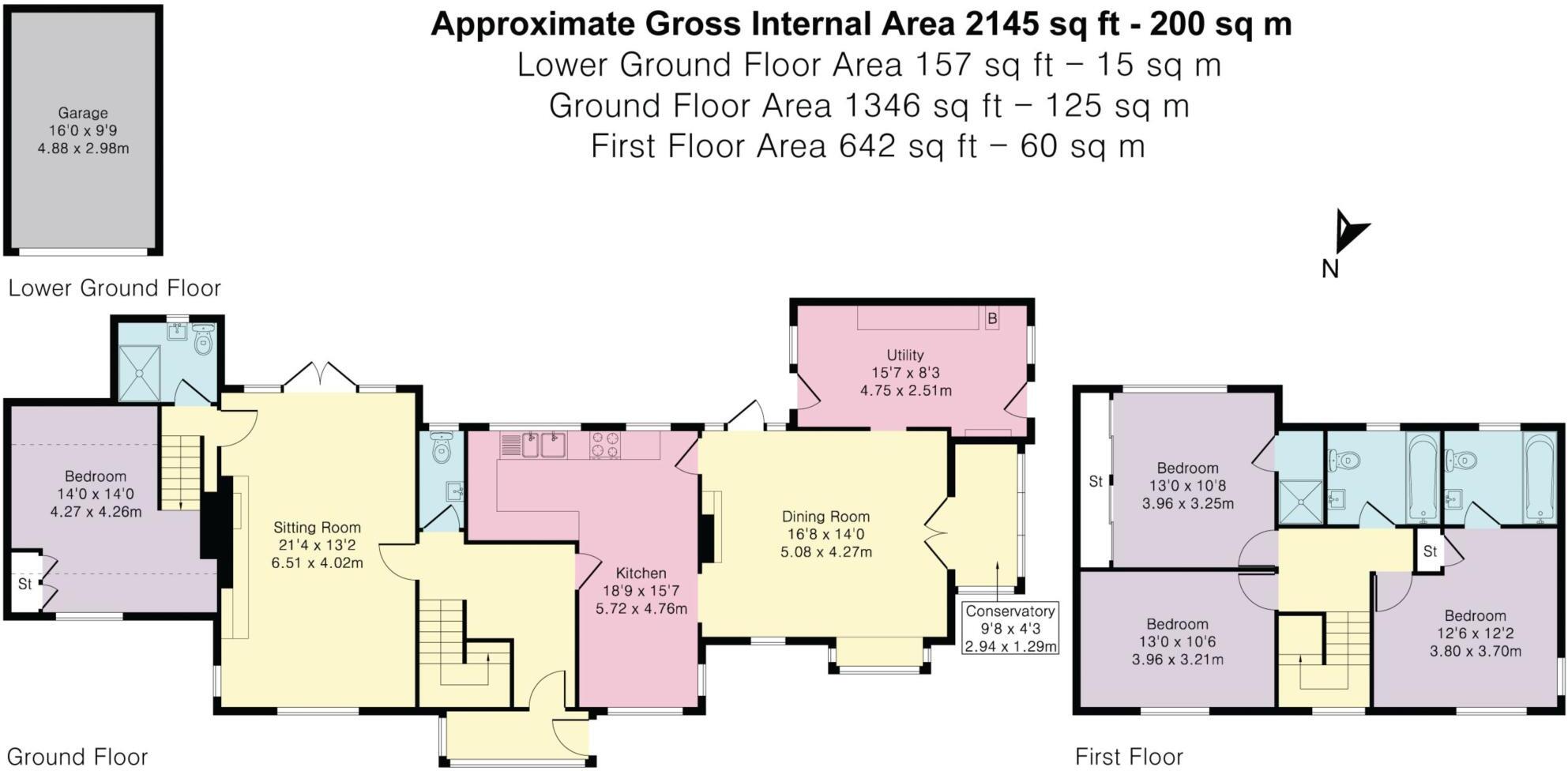
An attractive and spacious family with rural views.
- Bedrooms
- 4
- Bathrooms
- 4
The heatmap indicates the level of crime in the area. The color of the heatmap indicates the crime severity and recency.
Metrics Year-on-Year
- Average area value
- 270,000.00 £Increased by 41.58 %
- Average area rental value
- 936.00 £/moDecreased by 3.51 %
- Est rental Yield
- 4.16 %Decreased by 31.80 %
- Crime Rate
- 628.00 %Unchanged by 0.00 %
from 190,711.00 £
from 970.00 £/mo
from 6.10 %
from 628.00 %
Agent Activity
Maxwell Douglas created the listing.
Nearby Schools
| Name | Type | Ofsted | Distance |
|---|---|---|---|
| Great Tew County Primary School | Community School | Good | 3.29 KM |
| Hook Norton Church Of England Primary School | Voluntary Controlled School | Good | 4.41 KM |
| Swalcliffe Park School Cio | Non-maintained Special School | Outstanding | 6.70 KM |
| Enstone Primary School | Community School | Good | 6.86 KM |
| Sibford School | Other Independent School | 6.87 KM |
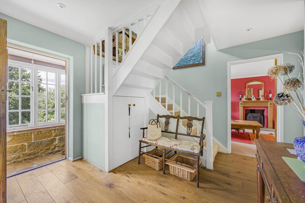
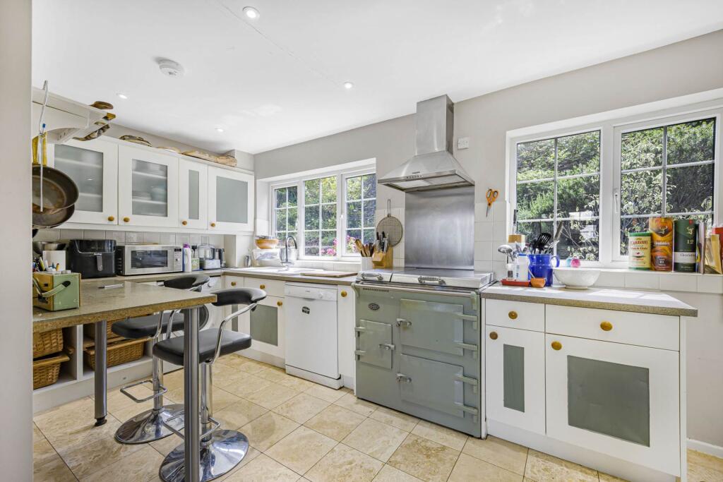
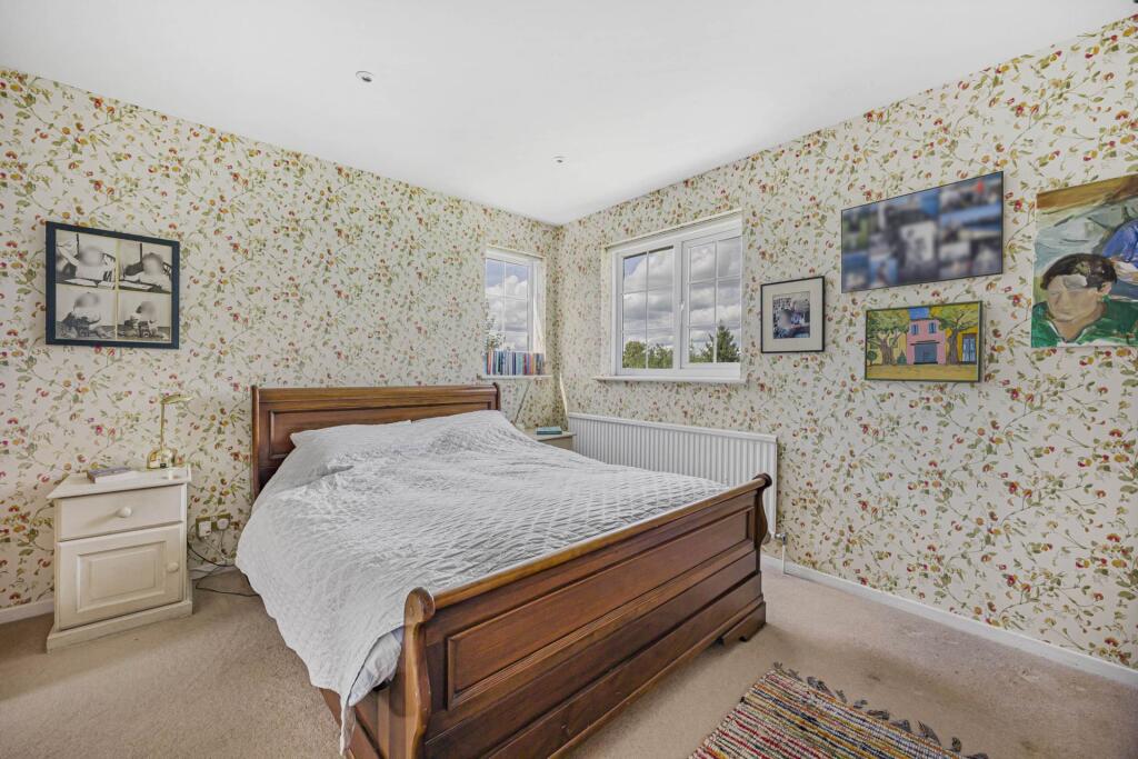
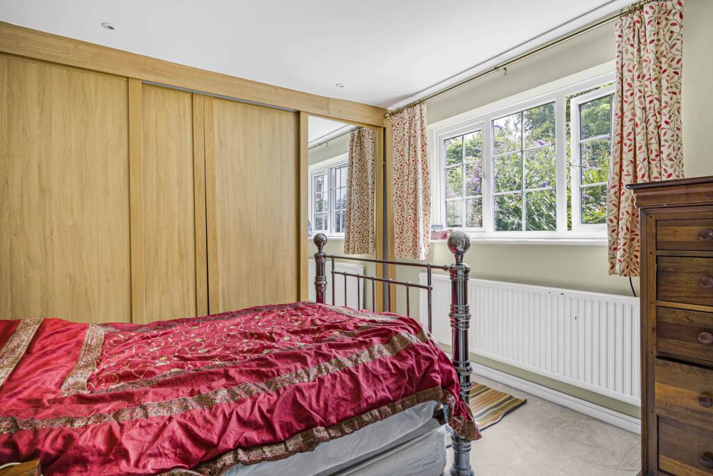
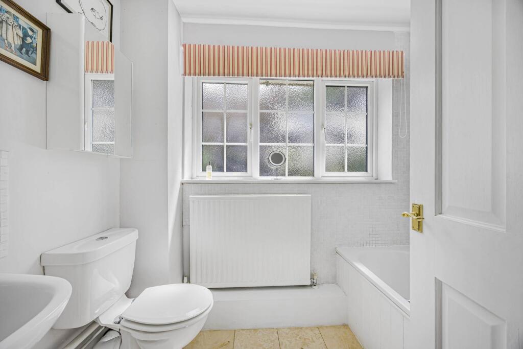
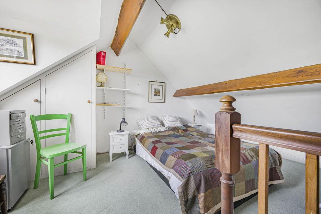
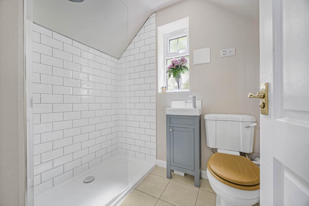
Images


Nearby Streets
| Name | Average Price | Average Sqft | Distance |
|---|---|---|---|
| Chapel Hill | £ 0 | 0 | 0.00 KM |
| Swerford heath hill | £ 0 | 0 | 0.00 KM |
Nearby Listings
| Address | Price | Type | Score | Distance |
|---|---|---|---|---|
| Swerford | £ 800,000 | BUY | Unknown | 0.00 KM |
| Banbury Road, Swerford, Chipping Norton, Oxfordshire | £ 1,750,000 | BUY | Unknown | 0.52 KM |
| Banbury Road, Swerford, Chipping Norton, Oxfordshire | £ 690,000 | BUY | Unknown | 0.53 KM |
| Land at Swerford, Hook Norton Road, Swerford, Chipping Norton, OX7 4BD | £ 285,000 | BUY | Unknown | 0.85 KM |
| Church End, Swerford, Chipping Norton | £ 1,500,000 | BUY | Unknown | 1.13 KM |
Nearby Properties
| Address | Price | Distance |
|---|---|---|
| Spring Bank Cottage | £ 525,000 | 0.04 KM |
| Retreat Cottage | £ 370,000 | 0.04 KM |
| Ashtree Cottage | £ 514,000 | 0.04 KM |
| Brookfields | £ 624,475 | 0.29 KM |
| The Old Cottage | £ 475,000 | 0.29 KM |