MC
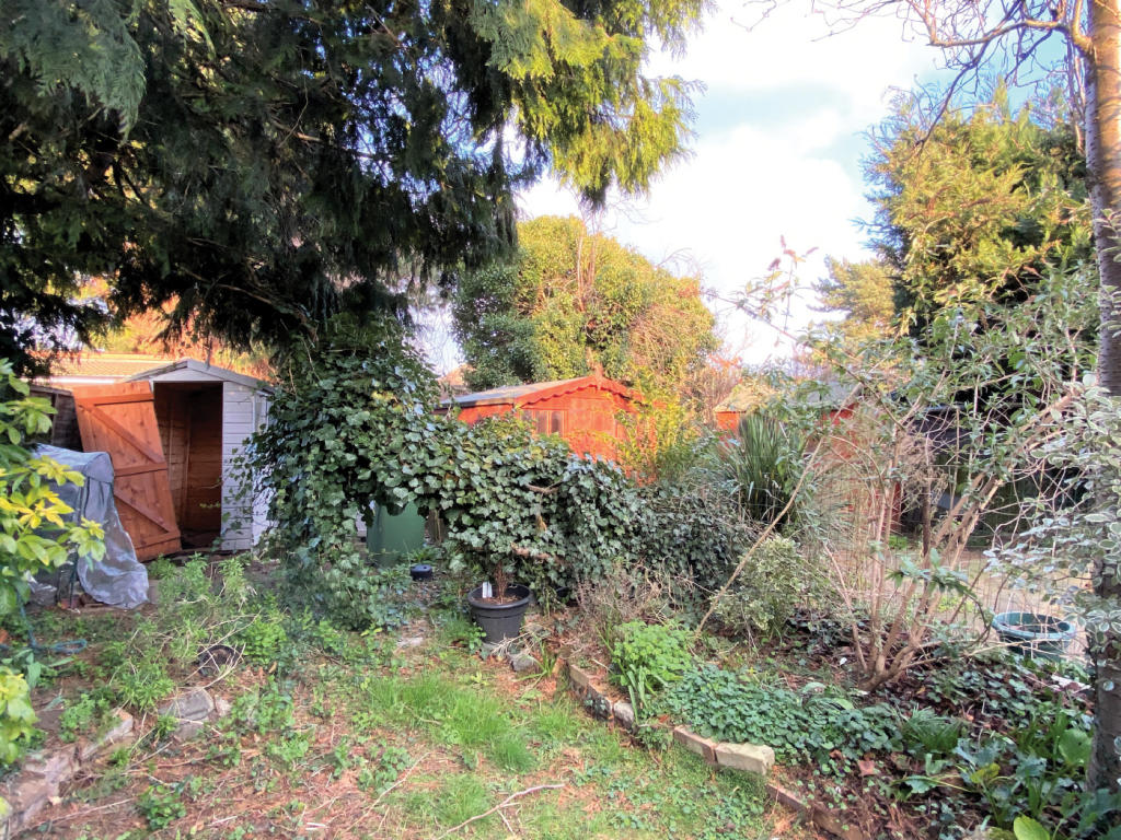
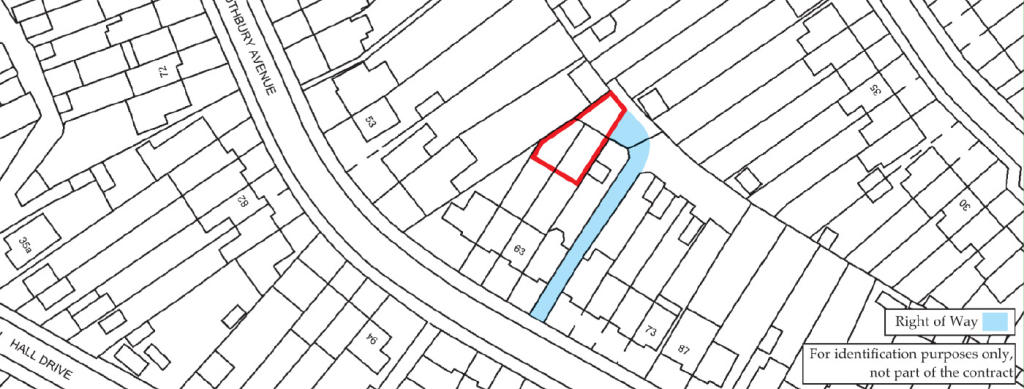
Land to the rear of 61 & 63 Rothbury Avenue, Rainham, Essex
By McHugh & Co
£ 10,000
McHugh & Co says ..
Freehold Land Vacant Possession
- Bedrooms
- 0
- Bathrooms
- 0
The heatmap indicates the level of crime in the area. The color of the heatmap indicates the crime severity and recency.
Metrics Year-on-Year
- Average area value
- 575,000.00 £Increased by 33.13 %
- Average area rental value
- 1,914.00 £/moDecreased by 2.00 %
- Est rental Yield
- 3.99 %Decreased by 26.52 %
- Crime Rate
- 13.00 %Unchanged by 0.00 %
from 431,904.00 £
from 1,953.00 £/mo
from 5.43 %
from 13.00 %
Agent Activity
McHugh & Co created the listing.
Nearby Schools
| Name | Type | Ofsted | Distance |
|---|---|---|---|
| Brady Primary School | Community School | Good | 0.43 KM |
| Harris Academy Rainham | Academy Sponsor Led | Good | 0.57 KM |
| Rainham Village Primary School | Community School | Good | 0.98 KM |
| Rainham Village Children'S Centre | Children's Centre | 1.04 KM | |
| La Salette Catholic Primary School | Voluntary Aided School | Good | 1.61 KM |
Images
Nearby Streets
| Name | Average Price | Average Sqft | Distance |
|---|---|---|---|
| Elizabeth Road | £ 0 | 0 | 0.00 KM |
| Vincent Road | £ 465,000 | 0 | 0.00 KM |
| Ferry Lane North | £ 260,000 | 0 | 0.00 KM |
| Viking Way Passage | £ 0 | 0 | 0.00 KM |
| Sparrow Street | £ 0 | 0 | 0.00 KM |
Nearby Transport
| Name | NLC | TLC | Distance |
|---|---|---|---|
| Rainham (Essex) | 7454 | RNM | 1.22 KM |
| Erith | 5104 | ERH | 4.45 KM |
| Slade Green | 5154 | SGR | 5.09 KM |
| Purfleet | 7453 | PFL | 5.30 KM |
| Belvedere | 5092 | BVD | 5.81 KM |
Nearby Properties
| Address | Price | Distance |
|---|---|---|
| 49 Rothbury Avenue | £ 220,000 | 0.01 KM |
| 103 Rothbury Avenue | £ 314,000 | 0.01 KM |
| 57 Rothbury Avenue | £ 190,000 | 0.01 KM |
| 107 Rothbury Avenue | £ 167,000 | 0.01 KM |
| 121 Rothbury Avenue | £ 199,995 | 0.01 KM |