HA
Imperial Way, ASHFORD
By haart
£ 675
haart says ..
**NO DEPOSIT OPTION AVAILABLE**
- Bedrooms
- 1
- Bathrooms
- 1
The heatmap indicates the level of crime in the area. The color of the heatmap indicates the crime severity and recency.
Metrics Year-on-Year
- Average area value
- 257,097.00 £Decreased by 8.25 %
- Average area rental value
- 956.00 £/moIncreased by 1.92 %
- Est rental Yield
- 4.46 %Increased by 10.95 %
- Crime Rate
- 24.00 %Unchanged by 0.00 %
from 280,201.00 £
from 938.00 £/mo
from 4.02 %
from 24.00 %
Agent Activity
haart created the listing.
Nearby Schools
| Name | Type | Ofsted | Distance |
|---|---|---|---|
| Great Chart Primary School | Community School | Outstanding | 0.93 KM |
| The John Wesley Church Of England Methodist Voluntary Aided Primary School | Voluntary Aided School | Good | 1.03 KM |
| The Wyvern School (Buxford) | Foundation Special School | Good | 1.49 KM |
| Beaver Green Primary School | Academy Sponsor Led | Good | 1.92 KM |
| Godinton Primary School | Academy Converter | Good | 2.01 KM |
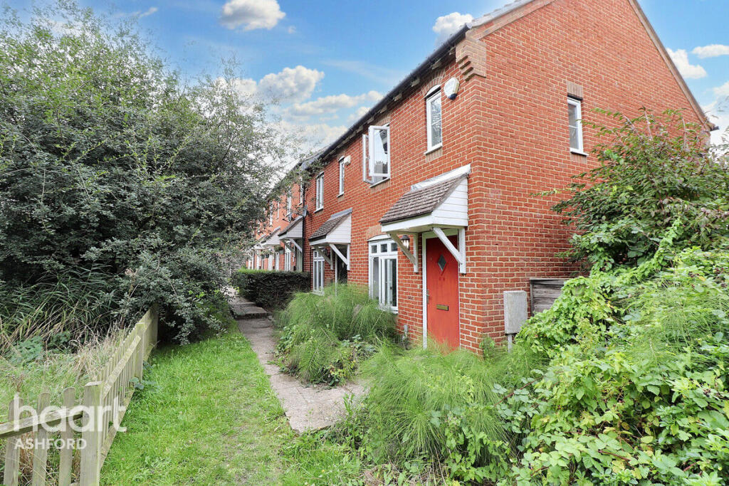
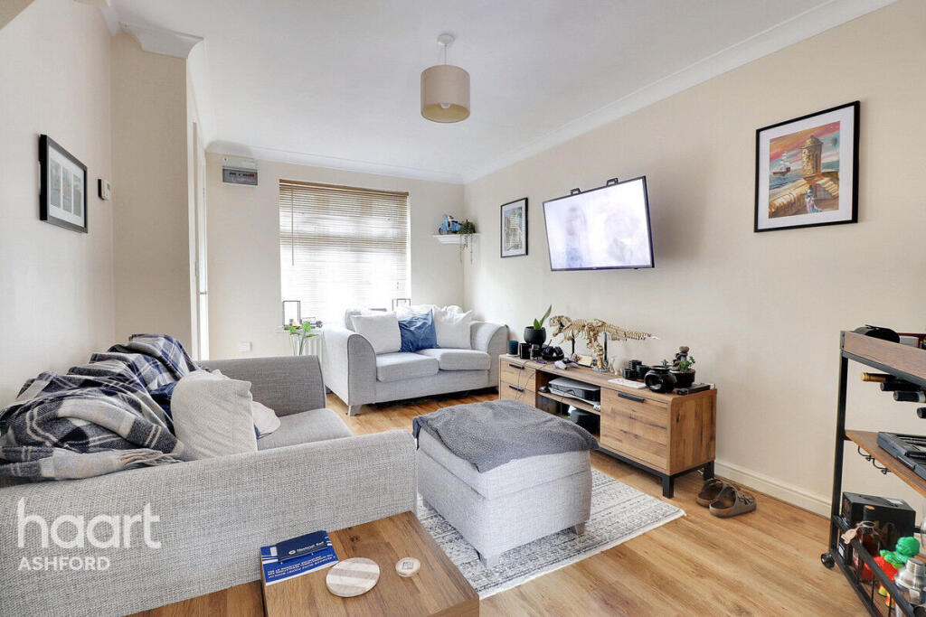
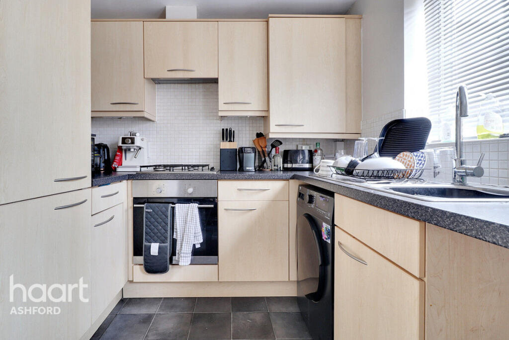
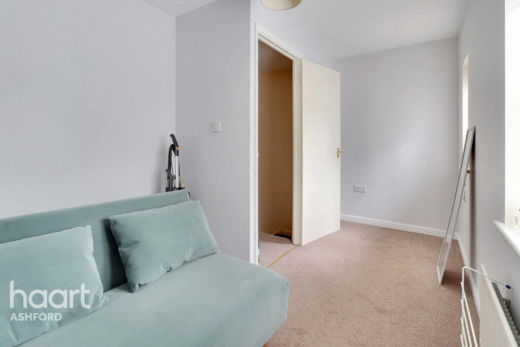
Images


Nearby Streets
| Name | Average Price | Average Sqft | Distance |
|---|---|---|---|
| Great Chart Bypass | £ 0 | 0 | 0.00 KM |
| Bay Side | £ 402,778 | 0 | 0.00 KM |
| Hedgers Way | £ 420,995 | 0 | 0.00 KM |
| Coppice Drive | £ 0 | 0 | 0.00 KM |
| Laurel Court | £ 0 | 0 | 0.00 KM |
Nearby Transport
| Name | NLC | TLC | Distance |
|---|---|---|---|
| Ashford International | 5004 | AFK | 4.83 KM |
| Ham Street | 5037 | HMT | 8.26 KM |
| Charing (Kent) | 5097 | CHG | 8.97 KM |
| Pluckley | 5225 | PLC | 9.63 KM |
Nearby Listings
| Address | Price | Type | Score | Distance |
|---|---|---|---|---|
| Imperial Way, ASHFORD | £ 675 | RENT | Unknown | 0.00 KM |
| Imperial Way, Ashford | £ 1,500 | RENT | Unknown | 0.04 KM |
| Imperial Way, Singleton Hill, Ashford | £ 1,500 | RENT | Unknown | 0.04 KM |
| Imperial Way, ASHFORD | £ 1,200 | RENT | Unknown | 0.05 KM |
| Imperial Way, Ashford, TN23 | £ 1,750 | RENT | Unknown | 0.07 KM |
Nearby Properties
| Address | Price | Distance |
|---|---|---|
| 64 Imperial Way | £ 322,500 | 0.05 KM |
| 136 Imperial Way | £ 203,750 | 0.05 KM |
| 104 Imperial Way | £ 135,000 | 0.05 KM |
| 66 Imperial Way | £ 305,000 | 0.05 KM |
| 68 Imperial Way | £ 205,000 | 0.05 KM |